Coed y Bwdrwn
Wood, Forest in Glamorgan
Wales
Coed y Bwdrwn
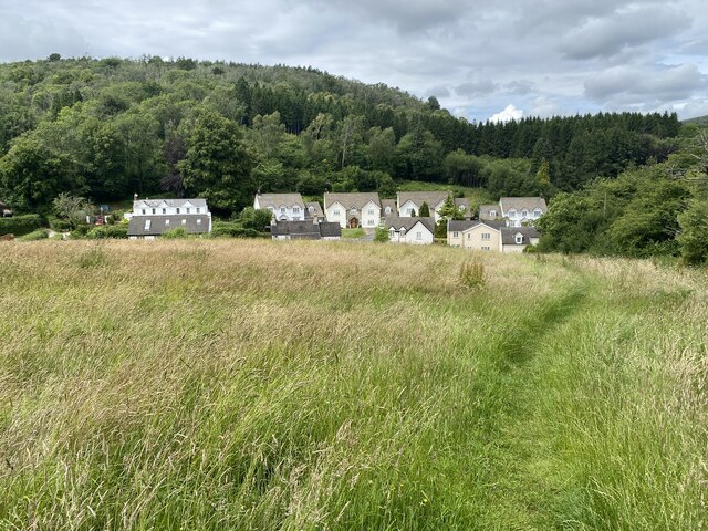
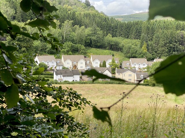
Coed y Bwdrwn, located in Glamorgan, Wales, is a picturesque woodland that spans over a vast area. With its rich biodiversity and stunning natural beauty, it has become a popular destination for nature enthusiasts and hikers alike.
The woodland is home to a diverse array of plant and animal species, making it an ideal habitat for wildlife. Ancient oak trees, beech trees, and birches dominate the landscape, creating a dense and enchanting forest. The forest floor is covered in a lush carpet of ferns, bluebells, and wildflowers, adding a splash of color to the surroundings.
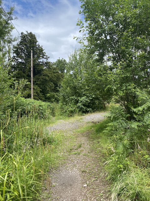
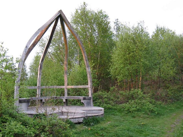
Several walking trails wind their way through the woodland, offering visitors the opportunity to explore its hidden treasures. These paths vary in difficulty, catering to both casual strollers and more experienced hikers. As visitors venture deeper into the forest, they may stumble upon secluded ponds and streams, adding to the tranquility of the experience.
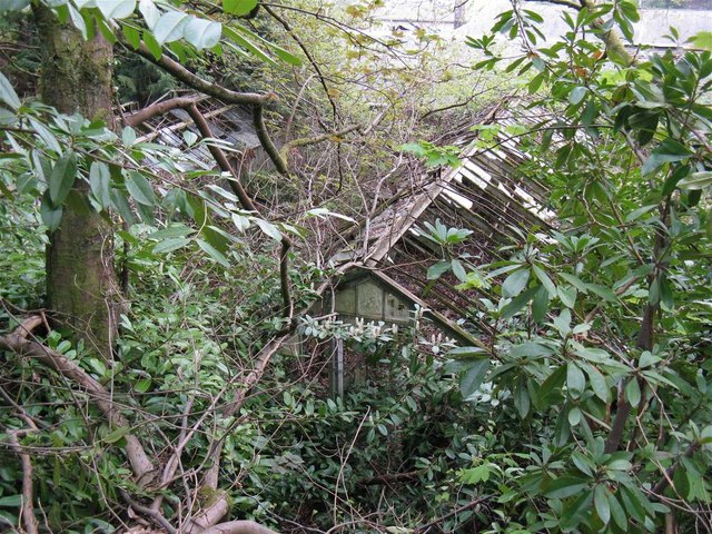
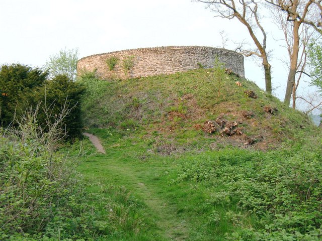
Coed y Bwdrwn also holds historical significance, with remnants of ancient settlements and landmarks scattered throughout the woodland. Archaeological sites, such as burial mounds and stone circles, provide a glimpse into the area's rich past and the lives of its former inhabitants.
For those seeking a peaceful retreat amidst nature, Coed y Bwdrwn offers a serene escape. The combination of its diverse ecosystem, scenic trails, and historical relics make it a must-visit destination for anyone interested in discovering the beauty and history of Glamorgan's woodlands.
If you have any feedback on the listing, please let us know in the comments section below.
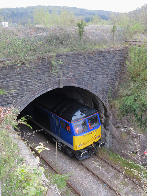
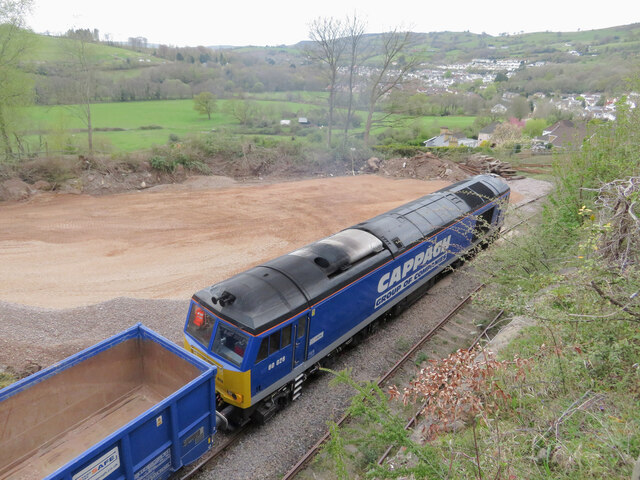
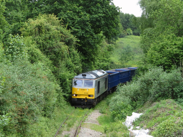
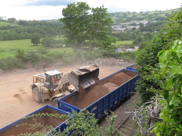
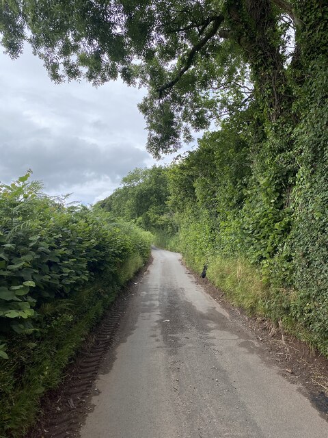
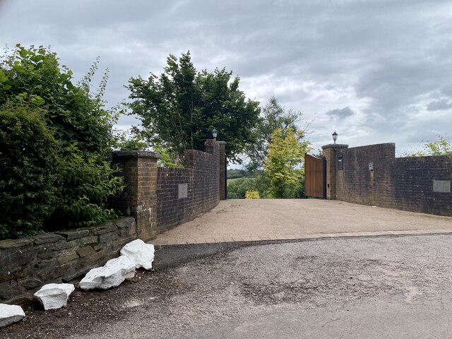
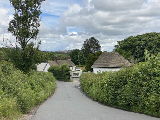
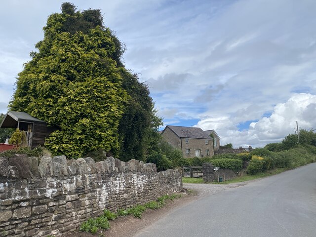
Coed y Bwdrwn Images
Images are sourced within 2km of 51.574947/-3.1314695 or Grid Reference ST2186. Thanks to Geograph Open Source API. All images are credited.

Coed y Bwdrwn is located at Grid Ref: ST2186 (Lat: 51.574947, Lng: -3.1314695)
Unitary Authority: Caerphilly
Police Authority: Gwent
What 3 Words
///loops.olive.sizes. Near Machen, Caerphilly
Nearby Locations
Related Wikis

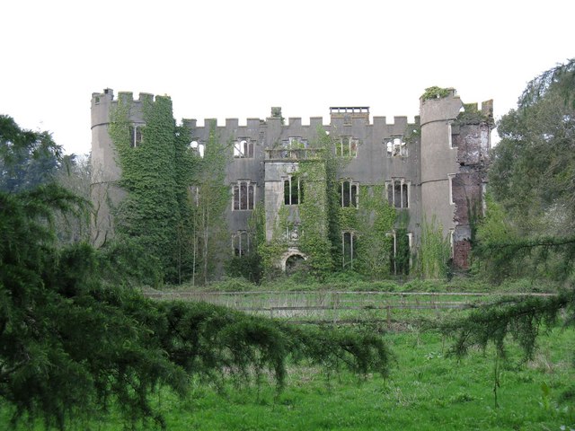
Ruperra Castle
Ruperra Castle or Rhiwperra Castle (Welsh: Castell Rhiw'r Perrai) is a Grade II* Listed building and Scheduled Ancient Monument, situated in Lower Machen...

Ruperra Motte
Ruperra Motte, also known as Craig Ruperra Motte, (Welsh: Castell Breiniol, or Castell y Ddraenen) is a medieval motte and bailey castle in the community...

Draethen
Draethen is a village in the county borough of Caerphilly, South Wales, and the community of Rudry. The village is located some 3 miles (4.8 km) east of...

SM UC-3
SM UC-3 was a German Type UC I minelayer submarine or U-boat in the German Imperial Navy (German: Kaiserliche Marine) during World War I. The U-boat had...
Nearby Amenities
Located within 500m of 51.574947,-3.1314695Have you been to Coed y Bwdrwn?
Leave your review of Coed y Bwdrwn below (or comments, questions and feedback).