Gyfenni Wood
Wood, Forest in Montgomeryshire
Wales
Gyfenni Wood
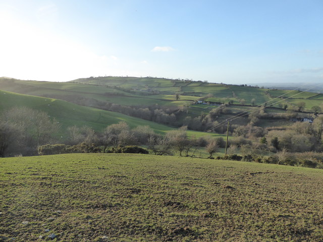
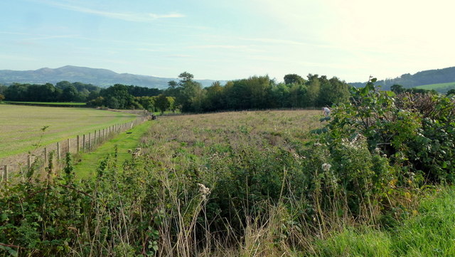
Gyfenni Wood is a picturesque woodland located in Montgomeryshire, Wales. Covering an area of approximately 100 acres, it is a stunning example of an ancient broadleaved woodland, characterized by its diverse range of tree species and rich biodiversity.
Situated near the village of Llanfair Caereinion, Gyfenni Wood is a popular destination for nature lovers and walkers alike. The woodland is home to a variety of majestic trees, including oak, ash, beech, and birch, which create a dense canopy, providing shelter for a multitude of wildlife species. The forest floor is adorned with a colorful carpet of bluebells, wood anemones, and wild garlic during the spring months.
Visitors can explore the network of well-maintained paths that wind their way through the woodland, immersing themselves in the tranquil surroundings and enjoying the sights and sounds of nature. The wood is also home to a diverse range of animal species, such as deer, foxes, badgers, and a wide variety of birdlife, making it a haven for wildlife enthusiasts and birdwatchers.
Managed by a local conservation organization, Gyfenni Wood is carefully preserved to maintain its natural beauty and ecological importance. The wood also serves as an educational resource, offering guided walks and workshops to raise awareness about the importance of woodland conservation and the need to protect and preserve these valuable habitats.
In conclusion, Gyfenni Wood in Montgomeryshire is a stunning example of an ancient broadleaved woodland, offering visitors a chance to immerse themselves in nature, explore diverse flora and fauna, and learn about the importance of woodland preservation.
If you have any feedback on the listing, please let us know in the comments section below.
Gyfenni Wood Images
Images are sourced within 2km of 52.504173/-3.1555978 or Grid Reference SO2190. Thanks to Geograph Open Source API. All images are credited.


Gyfenni Wood is located at Grid Ref: SO2190 (Lat: 52.504173, Lng: -3.1555978)
Unitary Authority: Powys
Police Authority: Dyfed Powys
What 3 Words
///depths.unusually.saved. Near Mainstone, Shropshire
Nearby Locations
Related Wikis

City, Powys
City is a hamlet in Powys, Wales. == Geography == City is 0.75 miles (1.21 km) from the small village of Sarn (which is situated on the A489 road) and...

Holy Trinity Church, Sarn
Holy Trinity Church is a Church of England parish church in Sarn, Powys, Wales. It was constructed in 1860 and is one of a small number of churches in...
Sarn, Powys
Sarn is a small village in Powys, Wales. The village lies on the A489 road 6.4 miles (10.3 km) east of Newtown. There is a bus service through the village...

Great Cefnyberen
Great Cefnyberen (Welsh: Cefnyberen Fawr) is a Grade II timber framed house in the township of Cefnyberen in the historic parish of Kerry, Montgomeryshire...
Nearby Amenities
Located within 500m of 52.504173,-3.1555978Have you been to Gyfenni Wood?
Leave your review of Gyfenni Wood below (or comments, questions and feedback).