Dolbedwin Wood
Wood, Forest in Radnorshire
Wales
Dolbedwin Wood
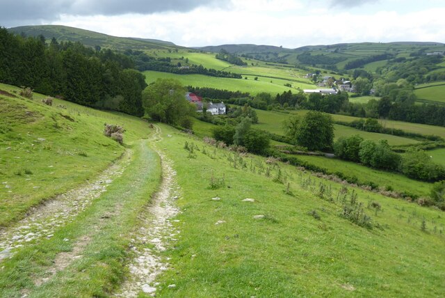
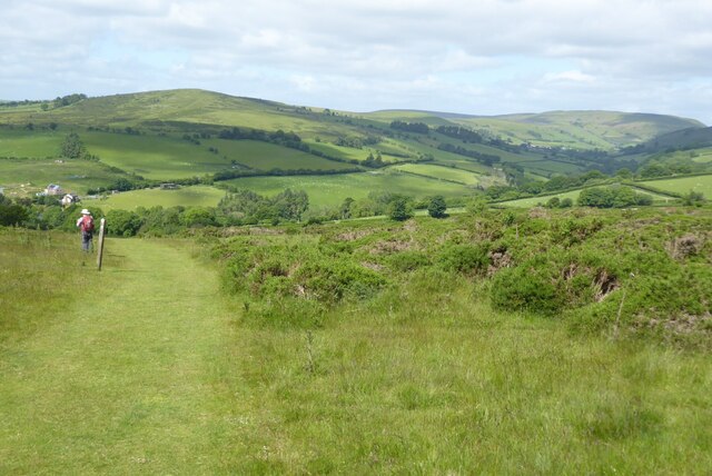
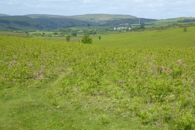
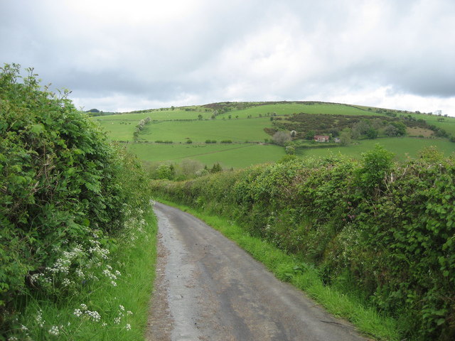
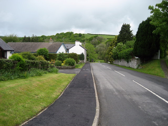
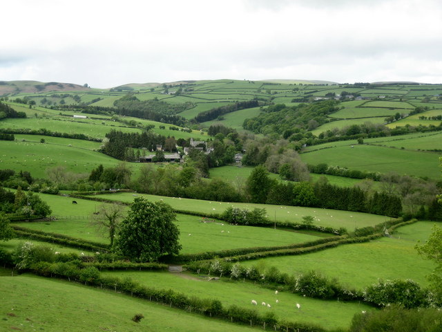
Dolbedwin Wood is a picturesque forest located in the county of Radnorshire, Wales. Covering an area of approximately 30 hectares, it is known for its natural beauty and diverse range of flora and fauna. The wood is situated near the village of Penybont, nestled in the rolling hills of the Welsh countryside.
The woodland consists primarily of deciduous trees, including oak, birch, and beech, which create a stunning array of colors during the autumn months. The forest floor is carpeted with a rich undergrowth of ferns, bluebells, and wild garlic, providing a habitat for a variety of wildlife.
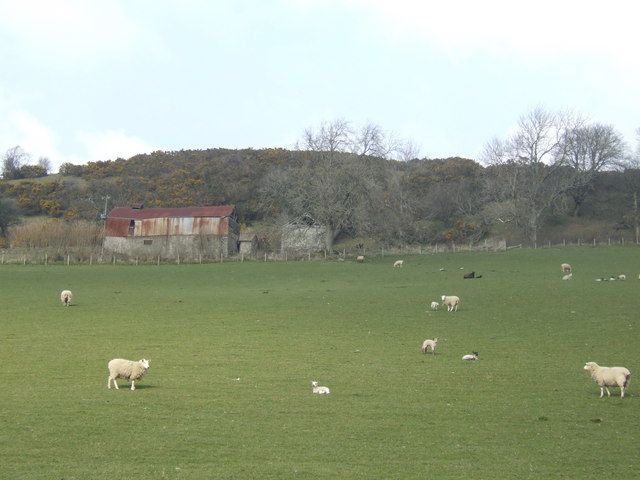
Dolbedwin Wood is home to an abundance of bird species, attracting birdwatchers from far and wide. Visitors may spot the vibrant plumage of the great spotted woodpecker or catch a glimpse of the elusive tawny owl. The woodland also provides a sanctuary for mammals such as badgers, foxes, and deer, which can often be seen foraging among the trees.
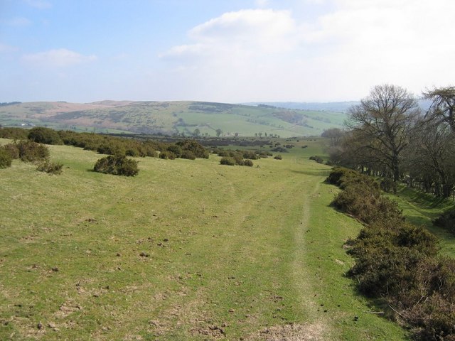
Walking trails crisscross the forest, allowing visitors to explore its hidden corners and enjoy the tranquility of nature. The paths wind their way through the trees, offering glimpses of babbling brooks and small waterfalls along the way. The forest is a popular destination for hikers, photographers, and nature enthusiasts seeking a peaceful retreat.
Dolbedwin Wood truly captures the essence of the Welsh countryside, providing a haven for wildlife and a serene escape for those seeking solace in nature's embrace.
If you have any feedback on the listing, please let us know in the comments section below.
Dolbedwin Wood Images
Images are sourced within 2km of 52.13668/-3.1454618 or Grid Reference SO2149. Thanks to Geograph Open Source API. All images are credited.


Dolbedwin Wood is located at Grid Ref: SO2149 (Lat: 52.13668, Lng: -3.1454618)
Unitary Authority: Powys
Police Authority: Dyfed Powys
What 3 Words
///transcribes.congas.denim. Near Clifford, Herefordshire
Nearby Locations
Related Wikis

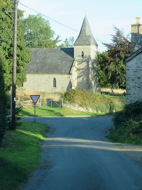
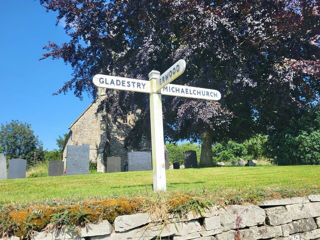
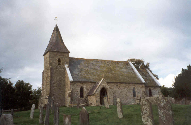
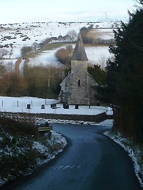
Newchurch, Powys
Newchurch is a small rural village in Powys, Wales, centred around St Mary's Church. The village is within the community of Gladestry, about 5 miles (8...
Rhos Goch National Nature Reserve
Rhos Goch National Nature Reserve, located near Painscastle on the England/Wales border, is one of the largest raised bogs in mid and south Wales. ‘Goch...
Baynham Hall
Baynham Hall is a Grade II* listed 17th -century manor house located in Michaelchurch-On-Arrow, Gladestry, Powys, Wales. Originally built circa 1700, the...

Rhydspence Inn
The Rhydspence Inn is a 14th-century inn situated on the Wales-England border and within the Wye Valley overlooking the Welsh hills and Herefordshire countryside...
Nearby Amenities
Located within 500m of 52.13668,-3.1454618Have you been to Dolbedwin Wood?
Leave your review of Dolbedwin Wood below (or comments, questions and feedback).