Coed y Squire
Wood, Forest in Glamorgan
Wales
Coed y Squire
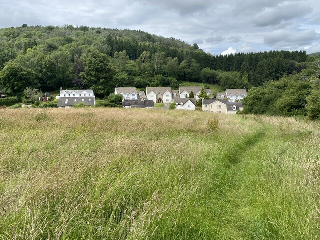
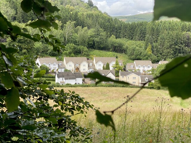
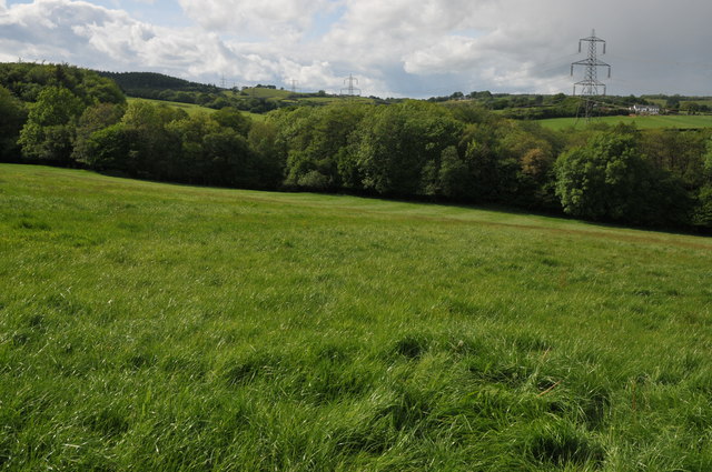
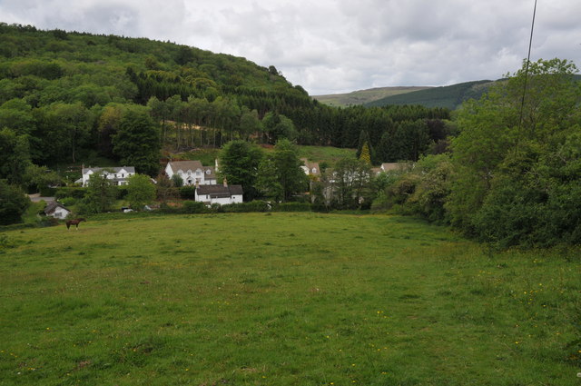
Coed y Squire is a picturesque woodland located in the county of Glamorgan, Wales. Nestled amidst the rolling hills and valleys of the region, this enchanting forest covers an area of approximately [insert size] and is renowned for its natural beauty and diverse ecosystem.
The woodland is predominantly composed of native tree species such as oak, beech, and ash, which provide a rich habitat for a wide variety of flora and fauna. The forest floor is carpeted with a lush undergrowth of ferns, bluebells, and wildflowers, creating a vibrant and colorful landscape throughout the year.
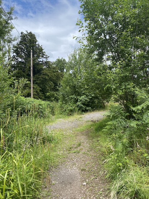
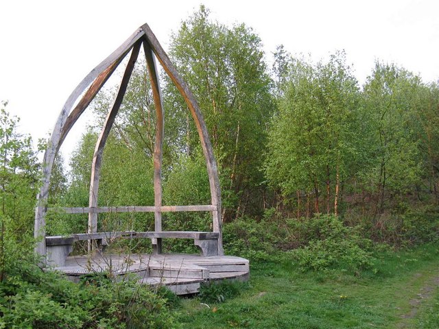
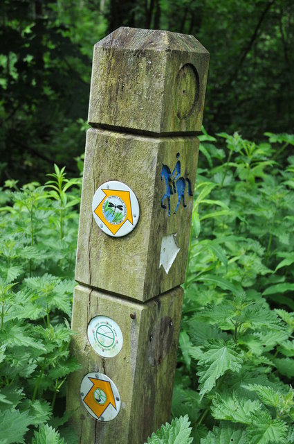
Coed y Squire offers a tranquil and peaceful environment, making it a popular destination for nature lovers, hikers, and wildlife enthusiasts. Various walking trails wind their way through the forest, allowing visitors to explore its hidden gems and discover its abundant wildlife. Birdwatchers can spot a plethora of avian species, including woodpeckers, owls, and various songbirds.
The woodland is also home to a number of mammals, such as deer, foxes, and badgers, which can often be spotted in the early morning or late evening. Additionally, the forest is home to a diverse range of insects, including butterflies, beetles, and dragonflies.
Coed y Squire is not only a haven for wildlife but also serves as an important recreational and educational resource for the local community. It offers a space for outdoor activities, picnics, and exploration, providing a wonderful opportunity for individuals of all ages to connect with nature and appreciate the beauty of the natural world.
If you have any feedback on the listing, please let us know in the comments section below.
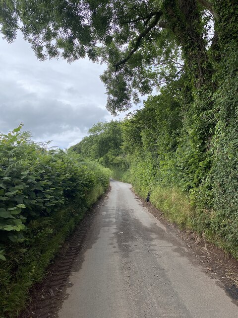
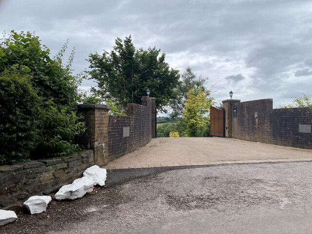
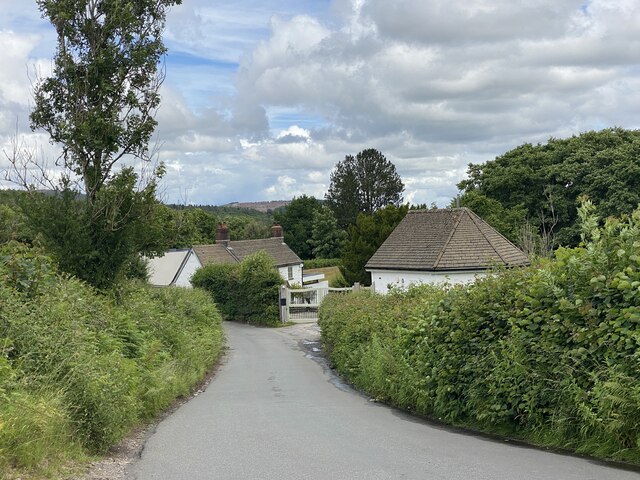
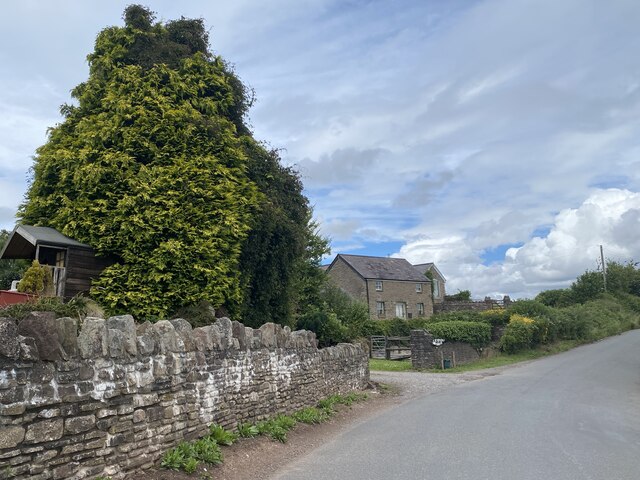
Coed y Squire Images
Images are sourced within 2km of 51.572251/-3.1377949 or Grid Reference ST2186. Thanks to Geograph Open Source API. All images are credited.
Coed y Squire is located at Grid Ref: ST2186 (Lat: 51.572251, Lng: -3.1377949)
Unitary Authority: Caerphilly
Police Authority: Gwent
What 3 Words
///libraries.scar.yard. Near Machen, Caerphilly
Nearby Locations
Related Wikis

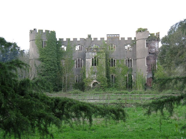
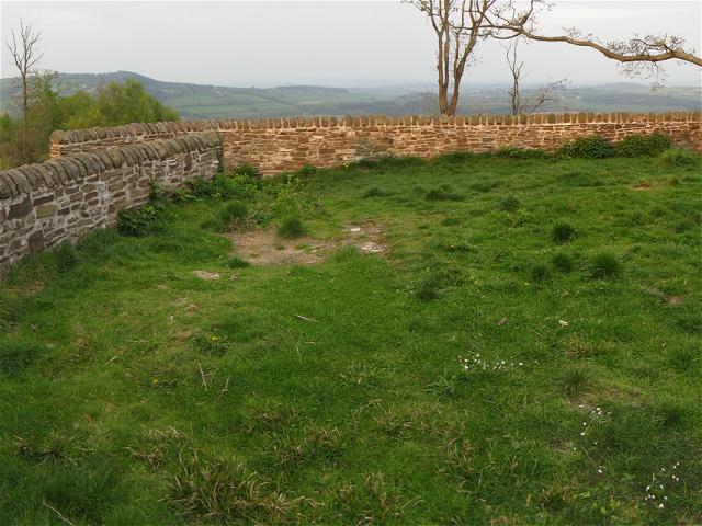
Ruperra Castle
Ruperra Castle or Rhiwperra Castle (Welsh: Castell Rhiw'r Perrai) is a Grade II* Listed building and Scheduled Ancient Monument, situated in Lower Machen...

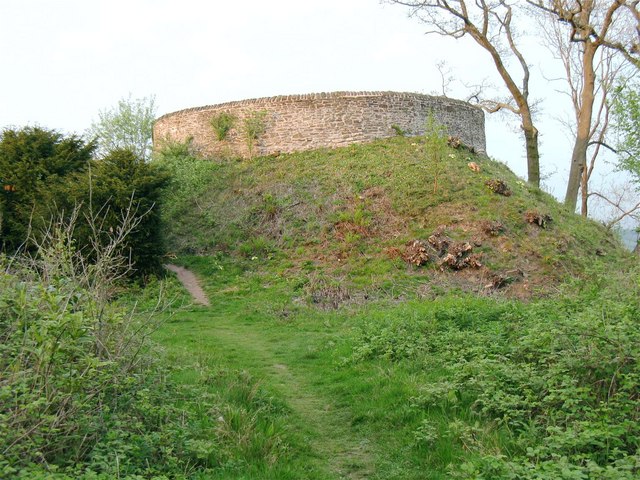
Ruperra Motte
Ruperra Motte, also known as Craig Ruperra Motte, (Welsh: Castell Breiniol, or Castell y Ddraenen) is a medieval motte and bailey castle in the community...

Draethen
Draethen is a village in the county borough of Caerphilly, South Wales, and the community of Rudry. The village is located some 3 miles (4.8 km) east of...

SM UC-3
SM UC-3 was a German Type UC I minelayer submarine or U-boat in the German Imperial Navy (German: Kaiserliche Marine) during World War I. The U-boat had...
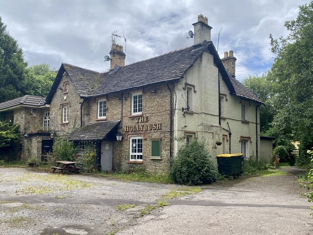
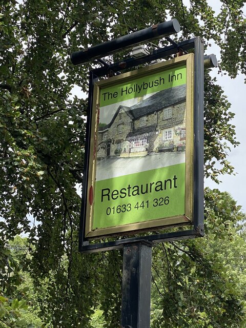
Nearby Amenities
Located within 500m of 51.572251,-3.1377949Have you been to Coed y Squire?
Leave your review of Coed y Squire below (or comments, questions and feedback).