Forest Wood
Wood, Forest in Radnorshire
Wales
Forest Wood
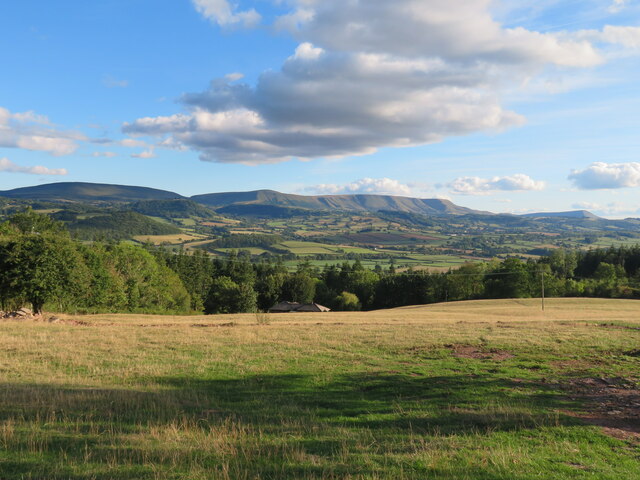
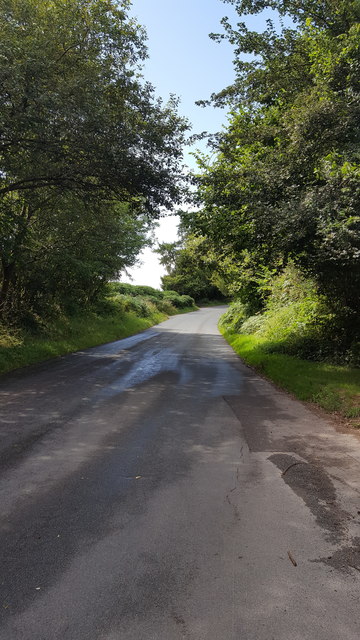
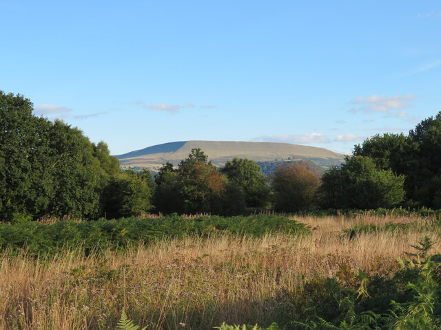
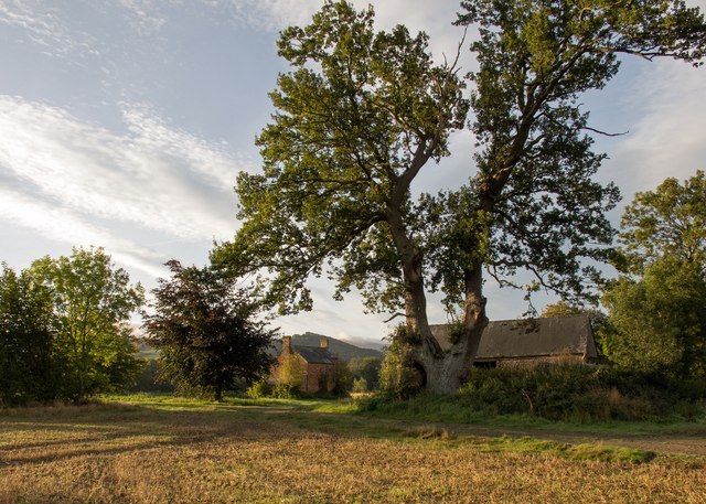
Forest Wood is a small woodland located in the county of Radnorshire, Wales. Situated in a rural area, the wood is surrounded by picturesque countryside, making it an ideal destination for nature enthusiasts and those seeking tranquility.
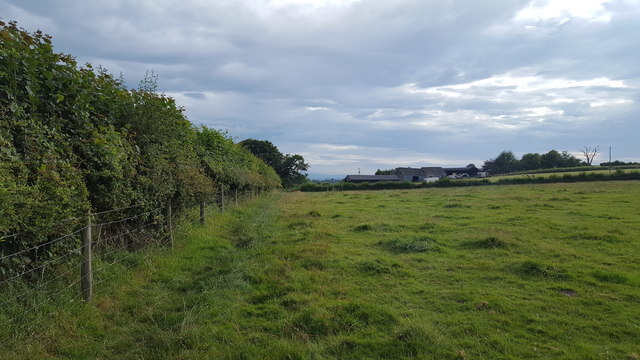
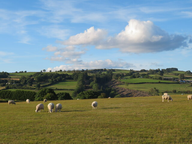
Covering an area of approximately 50 acres, Forest Wood is predominantly composed of deciduous trees such as oak, beech, and birch. The dense foliage provides a rich habitat for a variety of wildlife, including birds, squirrels, and deer. The woodland floor is carpeted with wildflowers, ferns, and moss, creating a vibrant and diverse ecosystem.
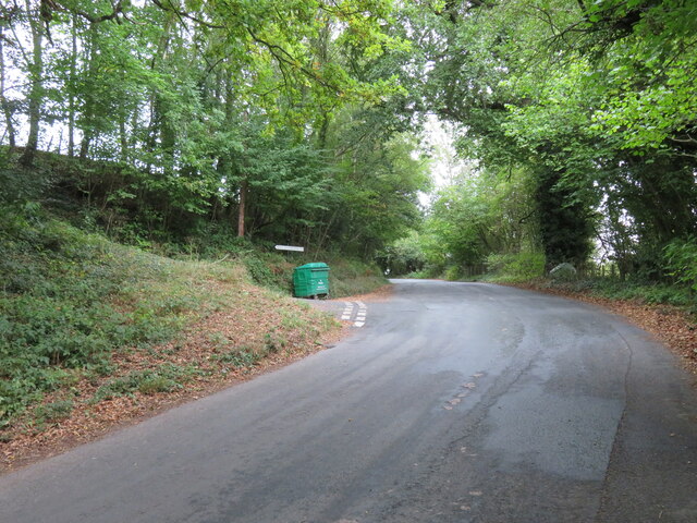
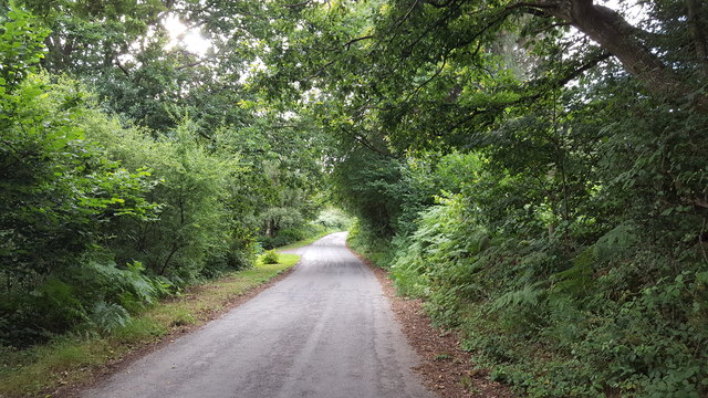
The wood is crisscrossed by a network of well-maintained footpaths, allowing visitors to explore and enjoy the natural beauty of the area. These trails wind through the woodland, offering glimpses of bubbling brooks, hidden ponds, and ancient trees. The peaceful ambiance of Forest Wood is further enhanced by the gentle sound of bird song and the rustling of leaves.
The wood is open to the public year-round, and there are no admission fees or restrictions on visiting hours. It is a popular spot for hiking, picnicking, and birdwatching. In addition, Forest Wood hosts educational programs and guided tours, providing visitors with the opportunity to learn about the local flora and fauna.
Overall, Forest Wood in Radnorshire is a remarkable natural area, offering a serene environment and diverse wildlife. It is a place where visitors can immerse themselves in the beauty of nature and experience a sense of peace and tranquility.
If you have any feedback on the listing, please let us know in the comments section below.
Forest Wood Images
Images are sourced within 2km of 52.082463/-3.1575136 or Grid Reference SO2043. Thanks to Geograph Open Source API. All images are credited.
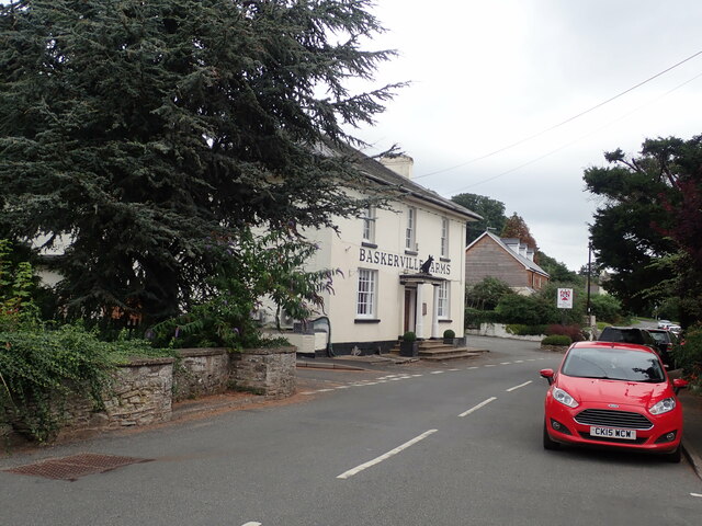

![The Baskerville Arms Pub/hotel in Clyro. The building stands at the side of the old main road [A438] which now by-passes the village centre.](https://s0.geograph.org.uk/geophotos/07/29/89/7298964_9f6595a2.jpg)
Forest Wood is located at Grid Ref: SO2043 (Lat: 52.082463, Lng: -3.1575136)
Unitary Authority: Powys
Police Authority: Dyfed Powys
What 3 Words
///divide.remains.clutches. Near Hay, Powys
Nearby Locations
Related Wikis

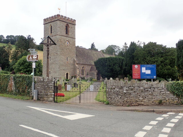
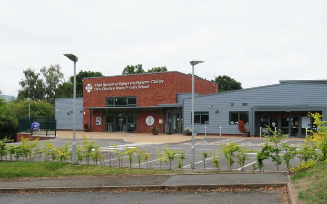
Clyro
Clyro (Welsh: Cleirwy) is a village and community in Radnorshire, Powys, Wales, with 781 inhabitants as of the 2011 UK Census. The nearest town is Hay...

St Mary's Church, Hay-on-Wye
St Mary's (also St Mary the Virgin) is an Anglican parish church in Hay-on-Wye, Brecknockshire, Powys, Wales. Separated by a deep dingle, which probably...
Hay-on-Wye Bridge
Hay Bridge spans the River Wye at Hay-on-Wye, Powys, Wales. Preceding the rebuild, the bridge was partly of stone and partly of wood, which itself replaced...

Hay-on-Wye railway station
Hay was a railway station serving the town of Hay-on-Wye in Powys, Wales, although the station was located just across the English border in Herefordshire...
Llowes
Llowes is a small village in the community of Glasbury, Powys, Wales. The village has approximately 110 inhabitants (2005). The nearest town is Hay-on...
Dulas Bridge
Dulas Bridge spans Dulas Brook, a tributary of the River Wye in Hay-on-Wye, Powys, Wales.The Dulas bridge, near Hay station, was a joint counties bridge...

Cheese Market, Hay-on-Wye
The Cheese Market in Hay-on-Wye (Welsh: Marchnad gaws Y Gelli Gandryll), formerly Hay-on-Wye Town Hall, (Welsh: Neuadd y Dref Y Gelli Gandryll), is a municipal...

Hay Festival
The Hay Festival of Literature & Arts, better known as the Hay Festival (Welsh: Gŵyl Y Gelli), is an annual literature festival held in Hay-on-Wye, Powys...
Nearby Amenities
Located within 500m of 52.082463,-3.1575136Have you been to Forest Wood?
Leave your review of Forest Wood below (or comments, questions and feedback).