Ferley Wood

Wood, Forest in Radnorshire

Wales

Ferley Wood

Between road and railway The trees hide that survivor, the Central Wales railway.
Between road and railway Credit: Richard Webb

The requested URL returned error: 429 Too Many Requests

If you have any feedback on the listing, please let us know in the comments section below.
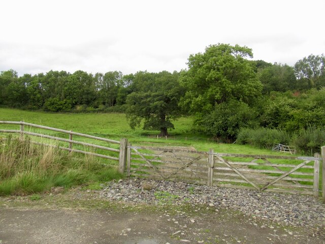
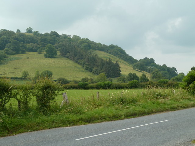
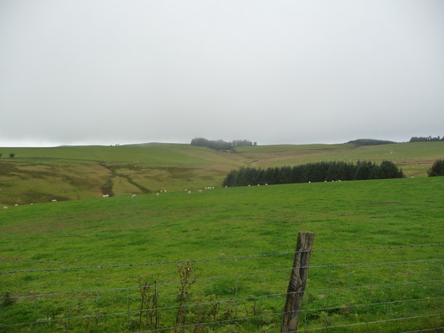
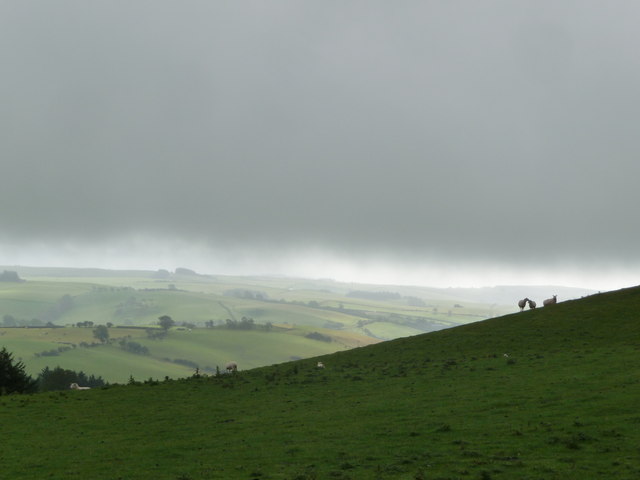
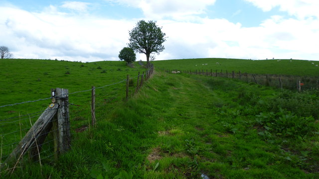
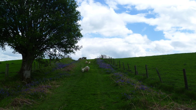
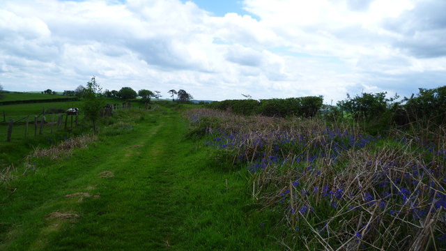
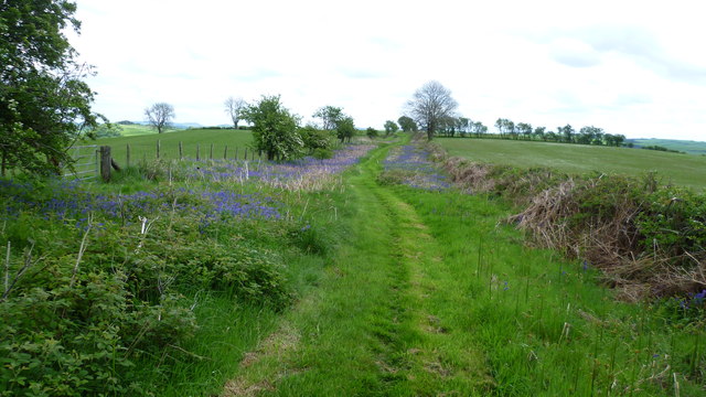
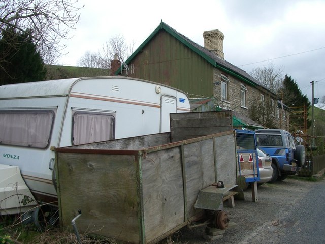
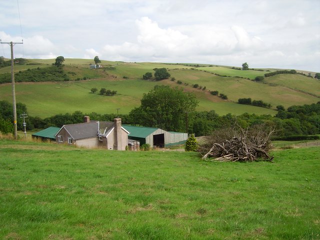
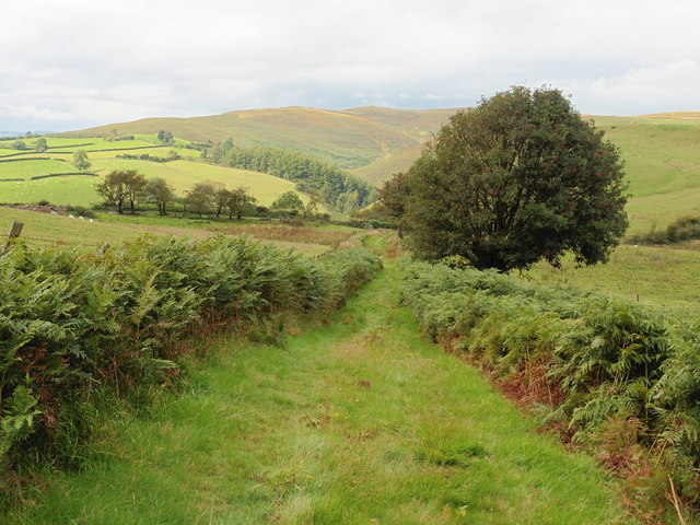
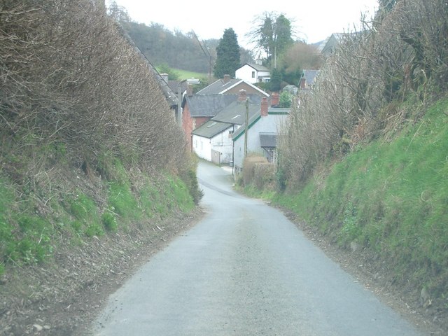
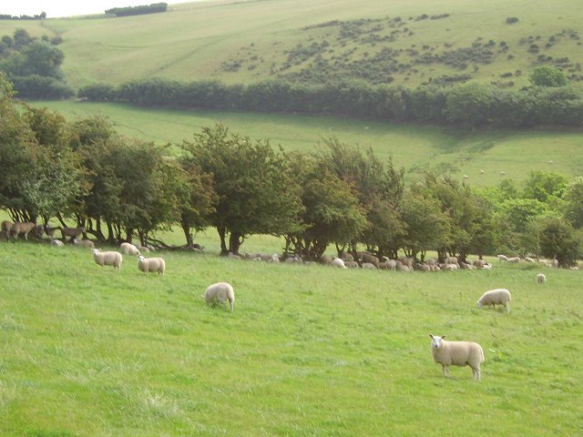
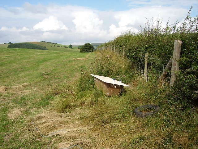
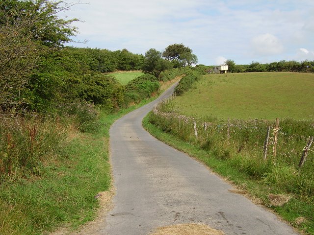
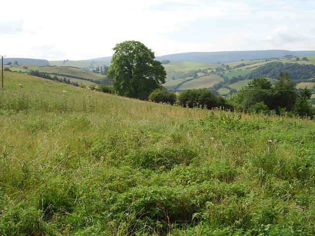
Ferley Wood Images

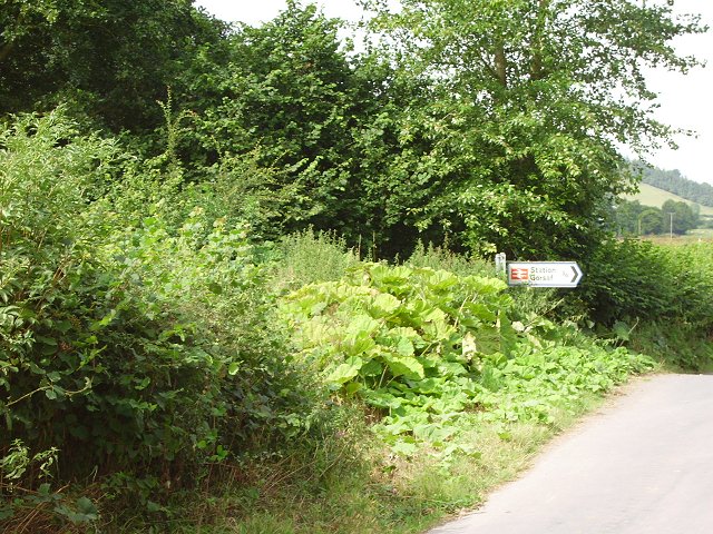
Images are sourced within 2km of 52.349551/-3.1642008 or Grid Reference SO2073. Thanks to Geograph Open Source API. All images are credited.

Between road and railway The trees hide that survivor, the Central Wales railway.
Between road and railway
The trees hide that survivor, the Central Wales railway.
Road, valley floor, and hillside By the B4356, east of the railway bridge.  The plantation on the hillside in the next square southwest is clear on the map.
Road, valley floor, and hillside
By the B4356, east of the railway bridge. The plantation on the hillside in the next square southwest is clear on the map.
Upland above the Teme Valley Acres of sheep pasture and a few stands of conifers. And a bit of weather coming in.
Upland above the Teme Valley
Acres of sheep pasture and a few stands of conifers. And a bit of weather coming in.
Hillside north of Llangynllo Some sunshine plays over distant slopes but the cloud base skims the hills and the sheep seem to be supporting each other in the adverse conditions.
Hillside north of Llangynllo
Some sunshine plays over distant slopes but the cloud base skims the hills and the sheep seem to be supporting each other in the adverse conditions.
On Glyndwr's Way Fenced section traversing the hill here.
On Glyndwr's Way
Fenced section traversing the hill here.
Bluebells and sheep on Glyndwr's Way A typical scene on GW.
Bluebells and sheep on Glyndwr's Way
A typical scene on GW.
On Glyndwr's Way in May The path here has been mown. But the bluebells thrive.
On Glyndwr's Way in May
The path here has been mown. But the bluebells thrive.
Bluebells beside Glyndwr's Way in May Bluebells are wonderful harbingers of spring and make the best walking companions.
Bluebells beside Glyndwr's Way in May
Bluebells are wonderful harbingers of spring and make the best walking companions.
Wayside cottage
Wayside cottage
Ferley A small farm on the south side of Beacon Hill. It appears that one of the old grown out hawthorn (Crataegus monogyna) hedges has been grubbed up, as there is a pile of thorn wood in the field. Any logs would be worth salvaging, as hawthorn is a fine firewood, but there is a fear of the plant in this area, especially the flowers which should never ever be brought into the house.
Ferley
A small farm on the south side of Beacon Hill. It appears that one of the old grown out hawthorn (Crataegus monogyna) hedges has been grubbed up, as there is a pile of thorn wood in the field. Any logs would be worth salvaging, as hawthorn is a fine firewood, but there is a fear of the plant in this area, especially the flowers which should never ever be brought into the house.
Glyndwr's Way
Glyndwr's Way
The approach to Llangunllo
Grown out hedge, Bailey Hill A very common Radnorshire scene, a line of hawthorns where there was once a hedge. Hedges need a lot of maintenance , otherwise the bottom grows out and they are no longer stock proof, becoming a line of trees.
Grown out hedge, Bailey Hill
A very common Radnorshire scene, a line of hawthorns where there was once a hedge. Hedges need a lot of maintenance , otherwise the bottom grows out and they are no longer stock proof, becoming a line of trees.
Bath in a field, Fronheulog The field has recently been cut for silage or hay. An old bath is a common choice for a water trough.
Bath in a field, Fronheulog
The field has recently been cut for silage or hay. An old bath is a common choice for a water trough.
Hill road near Malygoed. Not so long ago, there would have been a grass strip down the middle of this lane over the hills above the Teme Valley. Still a quiet track serving a few farms.
Hill road near Malygoed.
Not so long ago, there would have been a grass strip down the middle of this lane over the hills above the Teme Valley. Still a quiet track serving a few farms.
Creignant A thistly field over 300m up on the edge of the Radnor Forest. The central high ground of the range is visible in the distance.
Creignant
A thistly field over 300m up on the edge of the Radnor Forest. The central high ground of the range is visible in the distance.
Lane near Llangunllo A sunken hill lane just north of Llangunllo. Used mainly by the local farmers.
Lane near Llangunllo
A sunken hill lane just north of Llangunllo. Used mainly by the local farmers.
Butterbur, Llangunllo A road junction near Llangunllo, on the road up to the station. Butterbur (Petasites hybridus) is like a giant rhubarb and its big leaves have found many uses, including wrapping butter. The botanical name comes from Petasos, a wide brimmed Greek hat.
Butterbur, Llangunllo
A road junction near Llangunllo, on the road up to the station. Butterbur (Petasites hybridus) is like a giant rhubarb and its big leaves have found many uses, including wrapping butter. The botanical name comes from Petasos, a wide brimmed Greek hat.
Show me another place!

Ferley Wood is located at Grid Ref: SO2073 (Lat: 52.349551, Lng: -3.1642008)

Unitary Authority: Powys

Police Authority: Dyfed Powys

What 3 Words

///asks.unloads.lance. Near Knighton, Powys

Nearby Locations

Ferley Wood

Related Wikis

Llangynllo railway station

Llangynllo railway station is a countryside stop in Powys about 5 miles west of Knighton, on the Heart of Wales Line. The station is located 1.4 miles...

Llangunllo

Llangunllo (sometimes Llangynllo) is a village and community in central Powys (formerly in Radnorshire), Wales, located about 5 miles west of Knighton...

Llanbister Road railway station

Llanbister Road railway station is a countryside stop about 5 miles (8 km) from the village of Llanbister, Powys, Wales. The station is 41+3⁄4 miles (67...

Knucklas

Knucklas (Welsh: Cnwclas, meaning "green hillock") is a village in Powys, Wales, previously Radnorshire. It lies in the upper valley of the River Teme...

Nearby Amenities

Located within 500m of 52.349551,-3.1642008
Llangynllo
Naptan AtcoCode: 9100LLGUNLO
Network: National Rail
Operator: Trafnidiaeth Cymru
Operator Cy: Trafnidiaeth Cymru
Operator En: Transport for Wales
Public Transport: stop_position
Railway: stop
Train: yes
Lat/Long: 52.3500294/-3.1614479
Llangynllo
Naptan AtcoCode: 9100LLGUNLO
Network: National Rail
Network Website: https://www.nationalrail.co.uk/stations/lgo/
Network Wikidata: Q26334
Operator: Trafnidiaeth Cymru
Operator Cy: Trafnidiaeth Cymru
Operator En: Transport for Wales
Operator Website: https://tfw.wales/places/stations/llangynllo
Operator Wikidata: Q104878180
Public Transport: station
Railway: station
Ref Crs: LGO
Request Stop: yes
Wikidata: Q2959622
Wikipedia: en:Llangynllo railway station
Lat/Long: 52.3501452/-3.1615439
The data included in this document is from www.openstreetmap.org. The data is made available under ODbL.

Have you been to Ferley Wood?

Leave your review of Ferley Wood below (or comments, questions and feedback).