Coedcae Tillery

Wood, Forest in Monmouthshire

Wales

Coedcae Tillery

Pathway to St Peter’s Church
Pathway to St Peter’s Church Credit: Alan Hughes

The requested URL returned error: 429 Too Many Requests

If you have any feedback on the listing, please let us know in the comments section below.

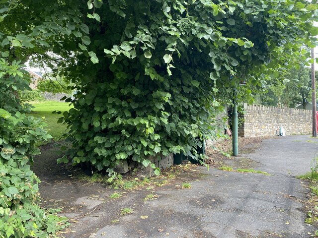
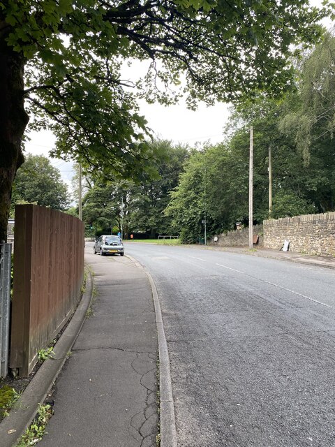
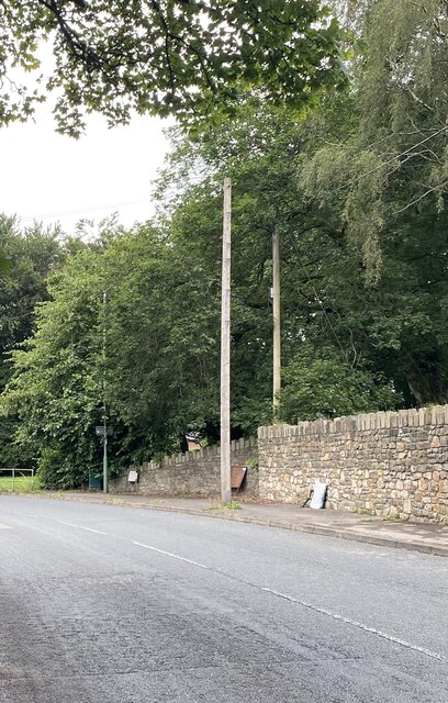
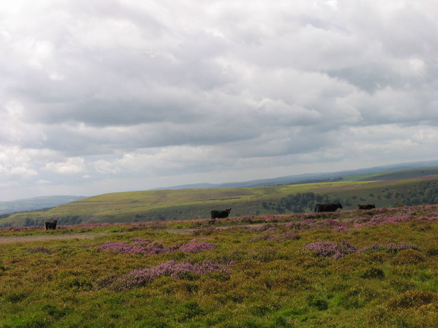
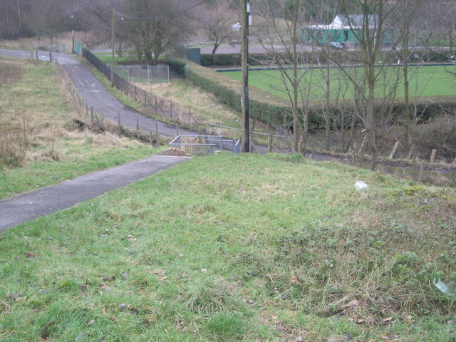
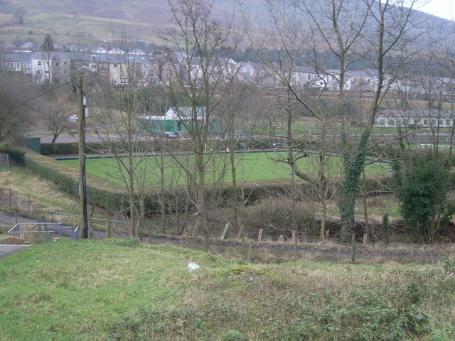
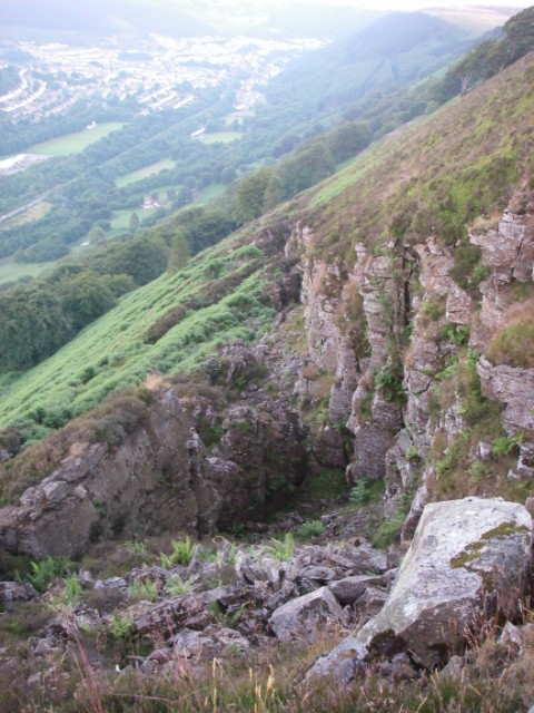
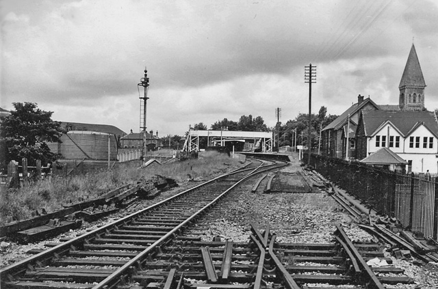
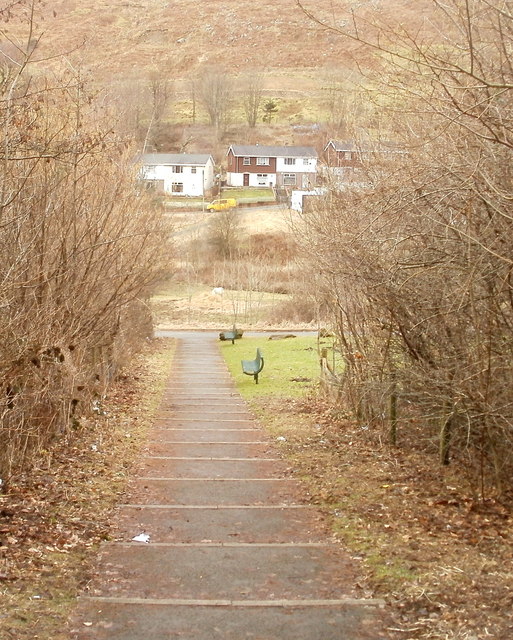
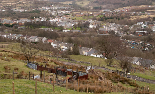
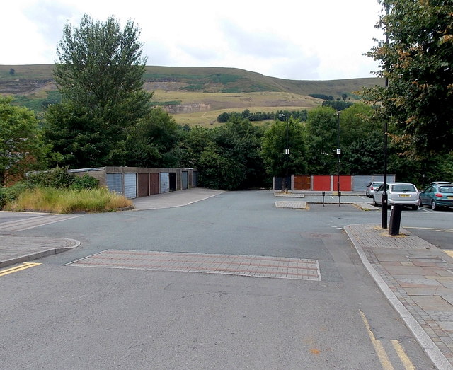
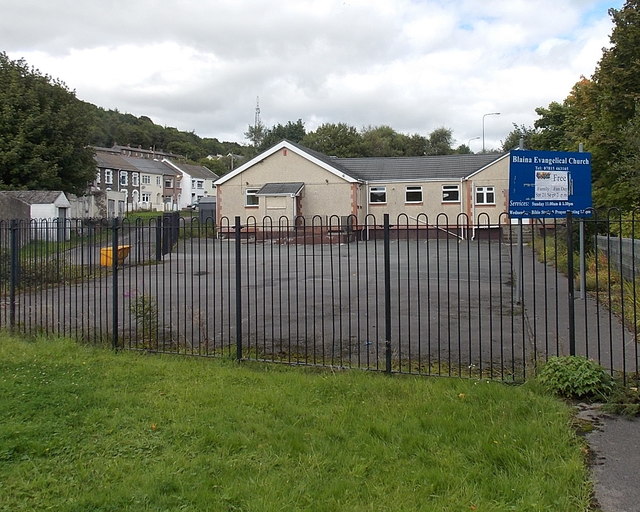
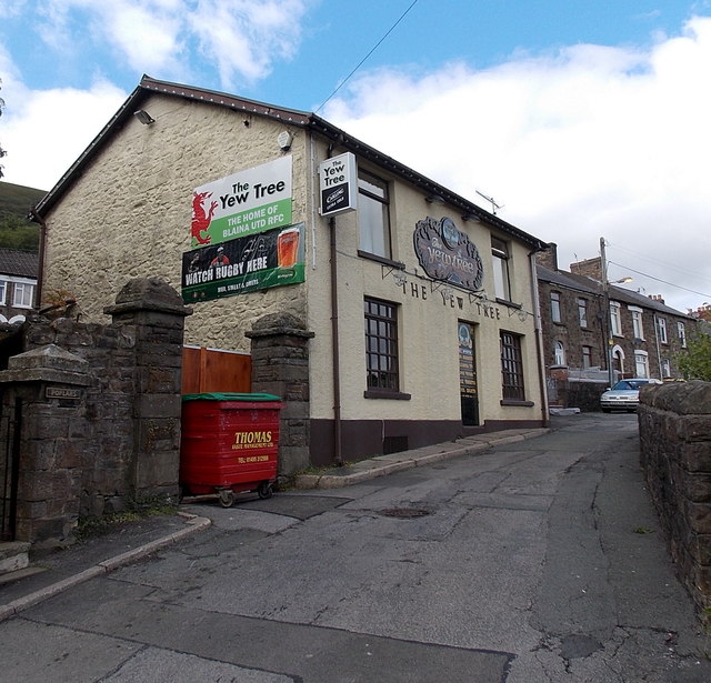
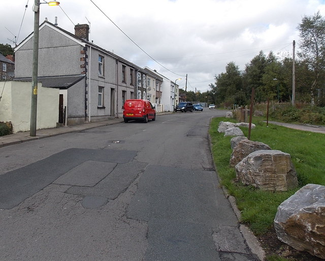
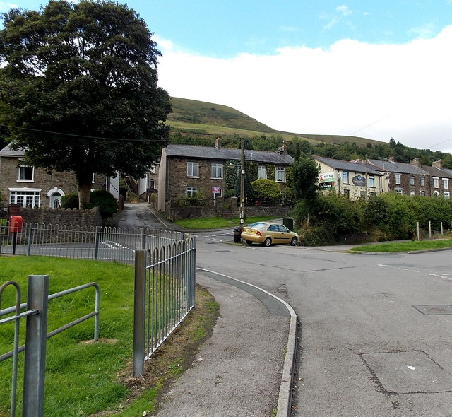
Coedcae Tillery Images

Images are sourced within 2km of 51.751195/-3.1486467 or Grid Reference SO2006. Thanks to Geograph Open Source API. All images are credited.

Pathway to St Peter’s Church
Station Road, Blaenau
Stone wall boundary to St Peter’s Church
Ordnance Survey Cut Mark This OS cut mark can be found on the garage east side of the road. It marks a point 284.516m above mean sea level.
Ordnance Survey Cut Mark
This OS cut mark can be found on the garage east side of the road. It marks a point 284.516m above mean sea level.
Cows on Darren Ddu
Cows on Darren Ddu
Footpath towards bowling green
Unstable flanks of Cefn yr Arail This is one of a series of chasms which run diagonally down the steep eastern side of this hill.  Up to 20m deep it runs for several hundred metres both across the flat top of the hill and these slopes which were over-steepened by glaciers 20,000 years ago.  More recent undermining by man in the search for coal during the 19th and 20th centuries has reactivated many ancient landslides.
Unstable flanks of Cefn yr Arail
This is one of a series of chasms which run diagonally down the steep eastern side of this hill. Up to 20m deep it runs for several hundred metres both across the flat top of the hill and these slopes which were over-steepened by glaciers 20,000 years ago. More recent undermining by man in the search for coal during the 19th and 20th centuries has reactivated many ancient landslides.
Blaina Station (remains) View NW, towards Brynmawr; ex-GW Newport - Aberbeeg - Brynmawr line. Station closed, along with passenger service Aberbeeg - Brynmawr 30/4/62, but coal continued to run down the valley until 5/7/76.
Blaina Station (remains)
View NW, towards Brynmawr; ex-GW Newport - Aberbeeg - Brynmawr line. Station closed, along with passenger service Aberbeeg - Brynmawr 30/4/62, but coal continued to run down the valley until 5/7/76.
Blaina : Victoria Street houses viewed from edge of footbridge Viewed from steps descending from a footbridge above the A467. The opposite side of the bridge leads to Abertillery Road.
Blaina : Victoria Street houses viewed from edge of footbridge
Viewed from steps descending from a footbridge above the A467. The opposite side of the bridge leads to Abertillery Road.
Terraced housing of West View West View is part of Blaina; the terrace in view is Glen (or Glan) Ebbw. The view is from the rising hill slope on the west side of the valley in which the town lies.
Terraced housing of West View
West View is part of Blaina; the terrace in view is Glen (or Glan) Ebbw. The view is from the rising hill slope on the west side of the valley in which the town lies.
Telegraph poles at Silent Valley Taken at Silent Valley nature reserve in Gwent, South Wales.
Telegraph poles at Silent Valley
Taken at Silent Valley nature reserve in Gwent, South Wales.
Lockup garages, Blaina Located in a corner of a car park on the west side of High Street.
Lockup garages, Blaina
Located in a corner of a car park on the west side of High Street.
Blaina Evangelical Church Located in Shop Row, West Side, Blaina.
Blaina Evangelical Church
Located in Shop Row, West Side, Blaina.
The Yew Tree, Blaina A banner on the wall of the pub at 8 Railway Terrace shows that this is the home of Blaina United RFC (Rugby Football Club).
The Yew Tree, Blaina
A banner on the wall of the pub at 8 Railway Terrace shows that this is the home of Blaina United RFC (Rugby Football Club).
Shop Row, West Side, Blaina Boulders prevent vehicular misuse of the grassy area.
Shop Row, West Side, Blaina
Boulders prevent vehicular misuse of the grassy area.
Victoria Street Blaina Houses at the northern end of Victoria Street.
Victoria Street Blaina
Houses at the northern end of Victoria Street.
West Side, Blaina Looking towards The Yew Tree <a title="https://www.geograph.org.uk/photo/3662024" href="https://www.geograph.org.uk/photo/3662024">Link</a> which is the white building in the background. 
Turn left near the red postbox for Victoria Street. <a title="https://www.geograph.org.uk/photo/3662026" href="https://www.geograph.org.uk/photo/3662026">Link</a>
West Side, Blaina
Looking towards The Yew Tree Link which is the white building in the background. Turn left near the red postbox for Victoria Street. Link
Show me another place!

Coedcae Tillery is located at Grid Ref: SO2006 (Lat: 51.751195, Lng: -3.1486467)

Unitary Authority: Blaenau Gwent

Police Authority: Gwent

What 3 Words

///bowhead.hikes.cool. Near Cwm, Blaenau Gwent

Related Wikis

Bournville (Mon) Halt railway station

Bournville (Mon) Halt railway station was a station which served Ty'r-Cecil near Blaina Abertillery in the Welsh county of Monmouthshire. == History... ==

Abertillery Excelsiors A.F.C.

Abertillery Excelsiors A.F.C. are a Welsh football club from the town of Abertillery, Blaenau Gwent in South Wales. Formed in 2000 as Tillery FC, they...

Cwmtillery

Cwmtillery (from Welsh Cwmtyleri) (population 2011. 4800) is a ward of Abertillery. Located within the historic boundaries of Monmouthshire, it is part...

Blaina railway station

Blaina railway station was a station which served the small town of Blaina in the Welsh county of Monmouthshire. == History == Among the lines built by...

Have you been to Coedcae Tillery?

Leave your review of Coedcae Tillery below (or comments, questions and feedback).