Coed Big
Wood, Forest in Monmouthshire
Wales
Coed Big
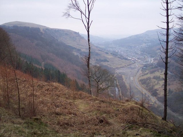
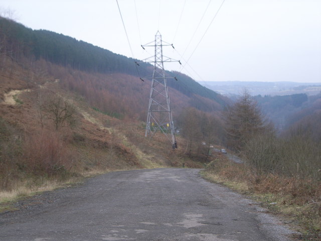
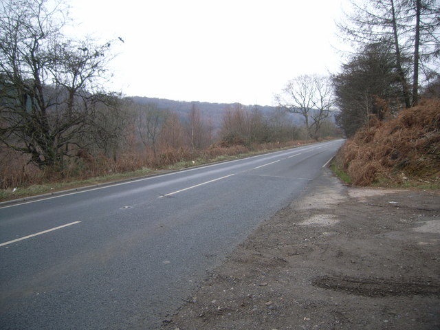
Coed Big is a woodland located in the county of Monmouthshire, Wales. It covers an area of approximately 150 hectares and is known for its diverse range of trees and wildlife. The woodland is situated on the eastern slope of the Wye Valley, providing visitors with picturesque views and a tranquil atmosphere.
Coed Big is predominantly composed of broadleaf trees, including oak, beech, and ash. These trees create a dense canopy, which allows for a rich understory of plants and shrubs to flourish. Bluebells, primroses, and wild garlic are just a few examples of the vibrant flora that can be found within the woodland.
The diverse habitat of Coed Big supports a wide variety of wildlife. Birds such as woodpeckers, nuthatches, and tawny owls can be spotted among the treetops, while the forest floor is home to mammals like badgers, foxes, and deer. The woodland also provides habitat for several species of bats, which can be seen at dusk as they emerge to feed.
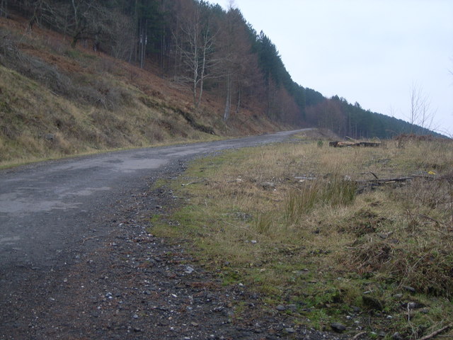
Visitors to Coed Big can enjoy a range of recreational activities. There are well-maintained footpaths and trails that allow for leisurely walks or more adventurous hikes. The woodland is also popular among nature enthusiasts, birdwatchers, and photographers, who come to appreciate the diverse ecosystem and capture its beauty.
Coed Big is managed by the Woodland Trust, a conservation charity that aims to protect and restore woodlands across the United Kingdom. Their efforts ensure that the woodland remains a haven for wildlife and a cherished natural resource for both locals and visitors alike.
If you have any feedback on the listing, please let us know in the comments section below.
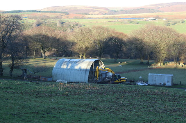
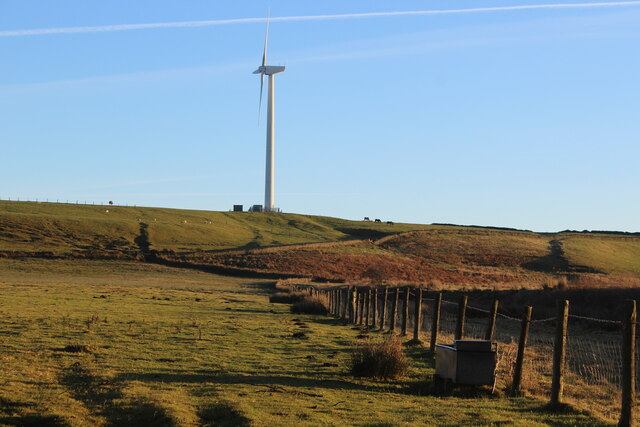
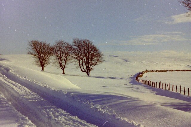
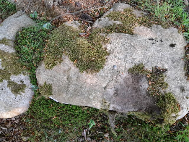
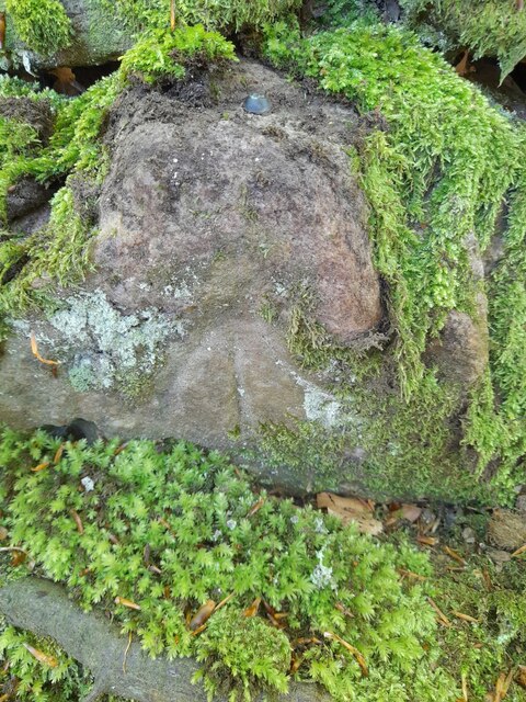
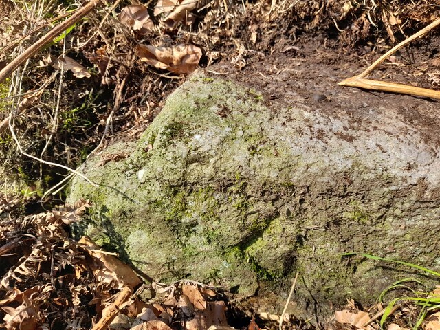
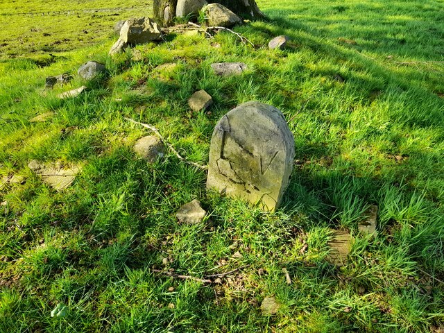
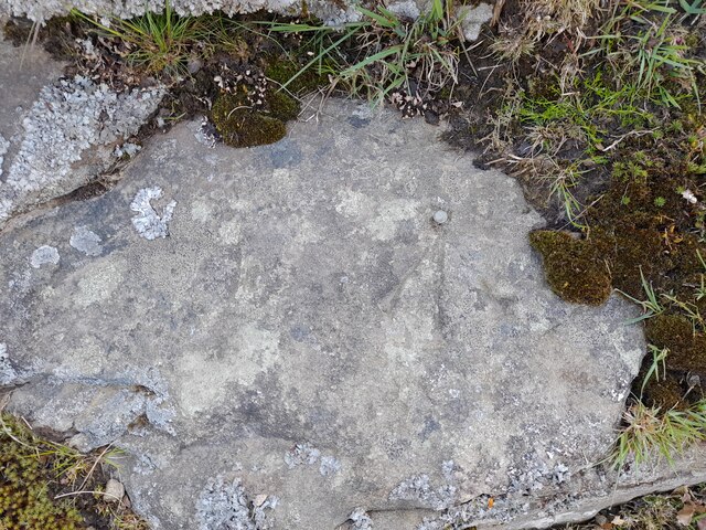
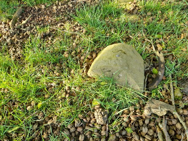
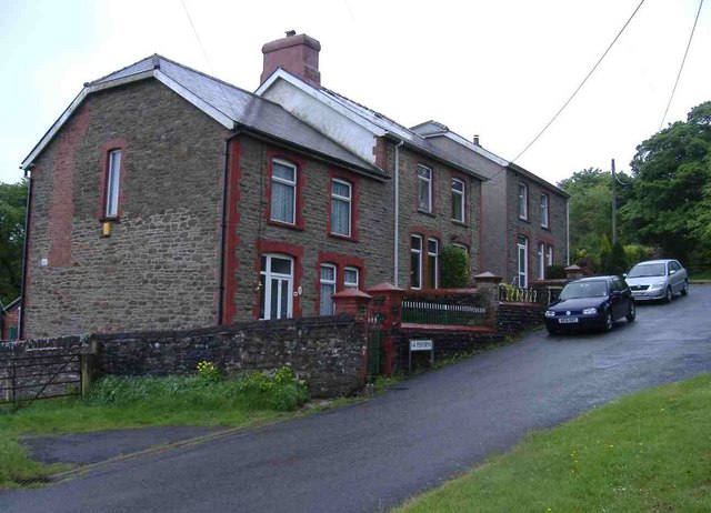
Coed Big Images
Images are sourced within 2km of 51.717199/-3.148581 or Grid Reference SO2002. Thanks to Geograph Open Source API. All images are credited.


Coed Big is located at Grid Ref: SO2002 (Lat: 51.717199, Lng: -3.148581)
Unitary Authority: Blaenau Gwent
Police Authority: Gwent
What 3 Words
///binders.kickbacks.wanted. Near Abertillery, Blaenau Gwent
Related Wikis
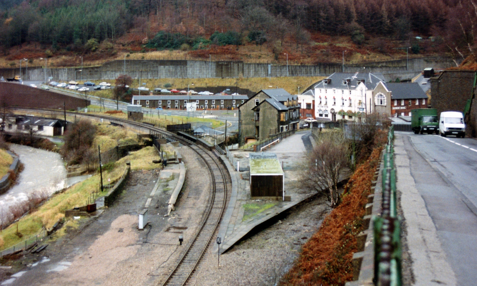
Aberbeeg railway station
Aberbeeg railway station served the village of Aberbeeg in Monmouthshire, Wales. It was the junction where the Monmouthshire Railway and Canal Company...

Aberbeeg
The small village of Aberbeeg (from Welsh Aber-bîg 'mouth of the river Bîg') lies in both the county borough of Blaenau Gwent and Caerphilly County Borough...

Abertillery and District Hospital
Abertillery and District Hospital (Welsh: Ysbyty Abertyleri a'r Cylch) was a community hospital in Aberbeeg, near Abertillery, in Blaenau Gwent County...
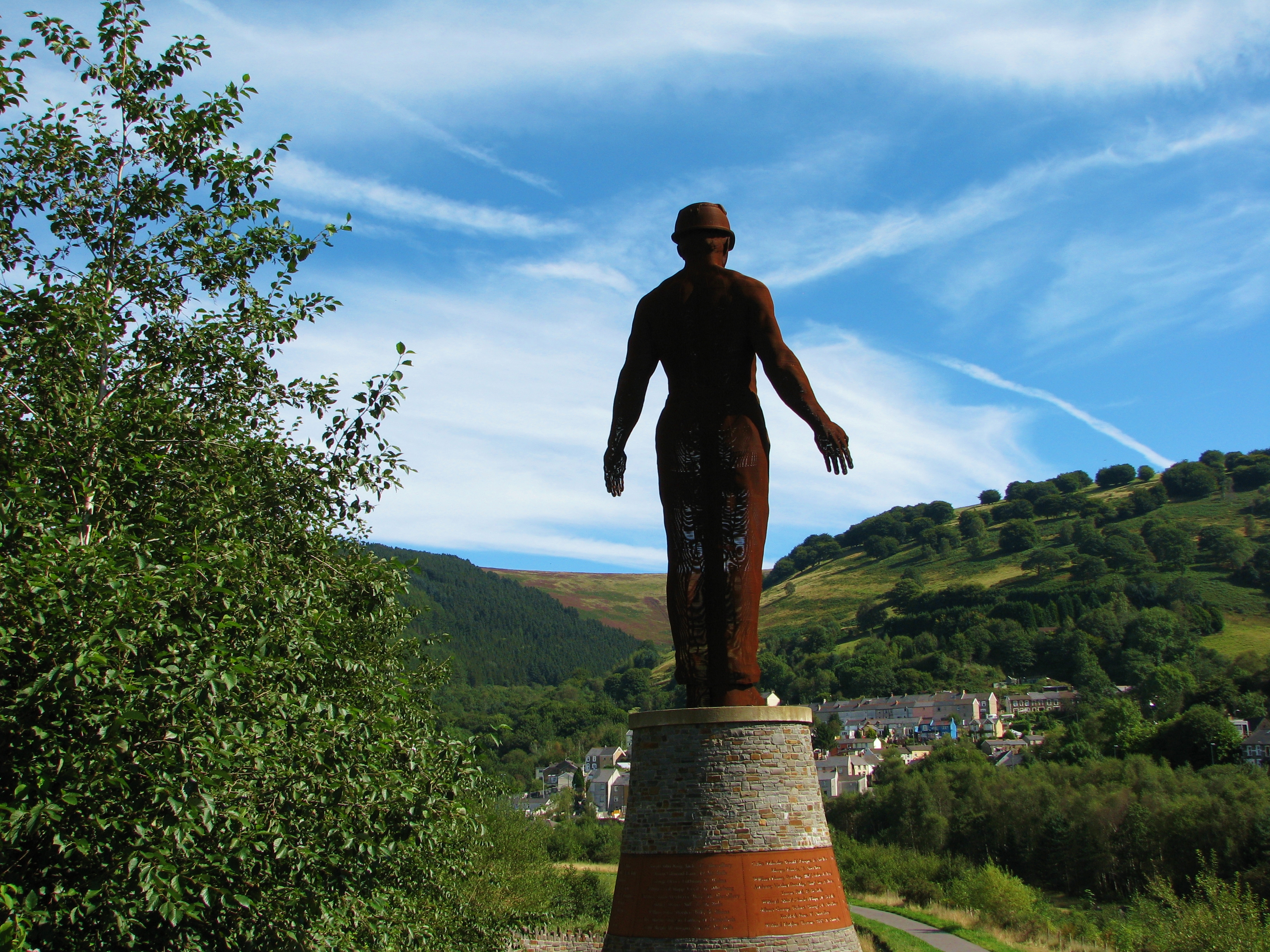
Guardian (sculpture)
The Guardian is a 20 m (66 ft) tall statue overlooking Parc Arael Griffin, the landscaped former Six Bells Colliery site, in the South Wales mining town...
Six Bells Colliery
Six Bells Colliery was a colliery located in Six Bells, Abertillery, Gwent, Wales. On 28 June 1960 it was the site of an underground explosion which killed...

Steelhouse Festival
Steelhouse Festival is an independent rock festival held annually in late July at Aberbeeg in South Wales, U.K. == History == Located on the edge of the...

St Illtyd's Church, Llanhilleth
St Illtyd's Church is a deconsecrated church in Llanhilleth, Blaenau Gwent, Wales. A Grade II* listed building, it is the oldest standing building in the...

St Illtyd
St Illtyd is a hamlet near Aberbeeg, in southeast Wales, within the historic boundaries of Monmouthshire. It is situated on the mountain road between Pontypool...
Nearby Amenities
Located within 500m of 51.717199,-3.148581Have you been to Coed Big?
Leave your review of Coed Big below (or comments, questions and feedback).