Parciau Gorse
Wood, Forest in Radnorshire
Wales
Parciau Gorse
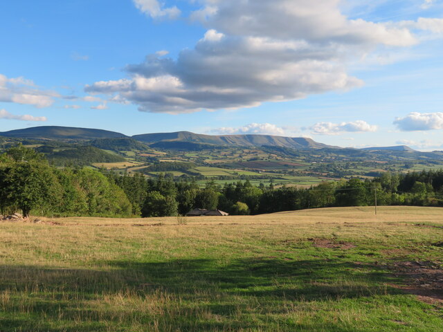
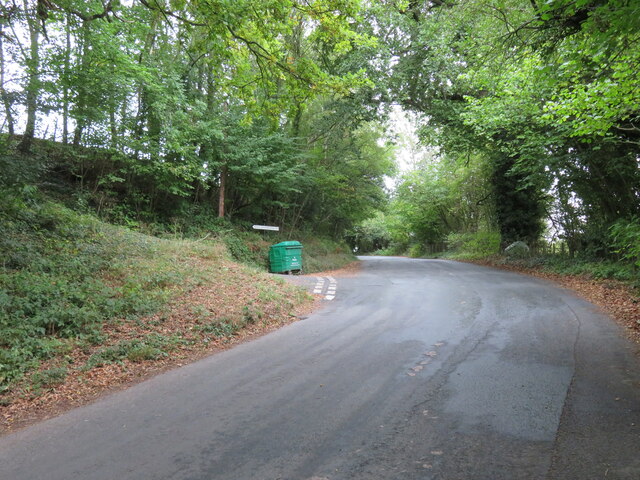
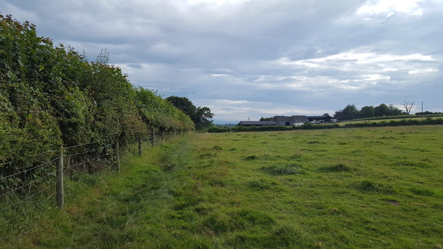
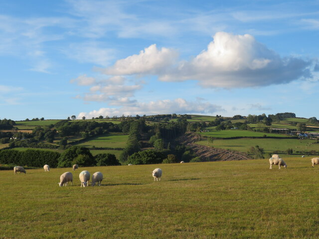
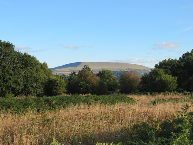
Parciau Gorse is a woodland area located in Radnorshire, Wales. Covering approximately 100 acres, it is known for its diverse ecosystem and scenic beauty. The woodland is predominantly made up of gorse, a flowering shrub that is native to the area. The gorse provides a vibrant burst of yellow during the blooming season, creating a picturesque landscape.
The forest is home to a wide variety of plant and animal species. The dense vegetation and ample food sources make it an ideal habitat for many birds, including the rare red kite and the lesser spotted woodpecker. Additionally, the woodland is a crucial breeding ground for several butterfly species, such as the silver-washed fritillary and the purple hairstreak.
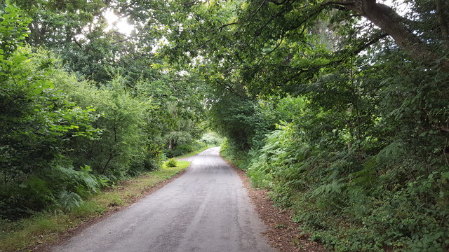
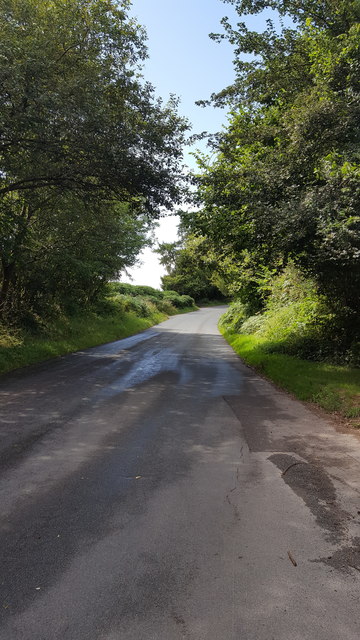
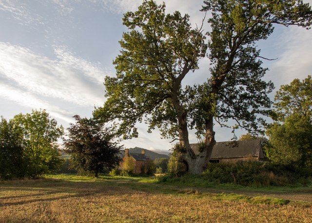
Parciau Gorse offers numerous walking trails, allowing visitors to explore the woodland and experience its natural wonders. These trails are well-maintained and range in difficulty, catering to both casual walkers and more experienced hikers. Along the paths, visitors may encounter ancient oaks and beech trees, adding to the charm and serenity of the surroundings.
The woodland is also a popular destination for nature enthusiasts and photographers due to its unique blend of flora and fauna. Its tranquil atmosphere and untouched beauty make it an excellent spot for nature observation and wildlife photography.
Parciau Gorse is a cherished natural gem in Radnorshire, offering visitors the opportunity to immerse themselves in the captivating beauty and biodiversity of the Welsh countryside.
If you have any feedback on the listing, please let us know in the comments section below.
Parciau Gorse Images
Images are sourced within 2km of 52.084119/-3.1582862 or Grid Reference SO2043. Thanks to Geograph Open Source API. All images are credited.
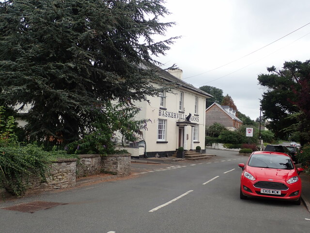

![The Baskerville Arms Pub/hotel in Clyro. The building stands at the side of the old main road [A438] which now by-passes the village centre.](https://s0.geograph.org.uk/geophotos/07/29/89/7298964_9f6595a2.jpg)

Parciau Gorse is located at Grid Ref: SO2043 (Lat: 52.084119, Lng: -3.1582862)
Unitary Authority: Powys
Police Authority: Dyfed Powys
What 3 Words
///shrug.billiard.angers. Near Hay, Powys
Nearby Locations
Related Wikis

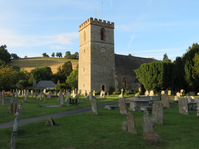
Clyro
Clyro (Welsh: Cleirwy) is a village and community in Radnorshire, Powys, Wales, with 781 inhabitants as of the 2011 UK Census. The nearest town is Hay...
Hay-on-Wye Bridge
Hay Bridge spans the River Wye at Hay-on-Wye, Powys, Wales. Preceding the rebuild, the bridge was partly of stone and partly of wood, which itself replaced...

St Mary's Church, Hay-on-Wye
St Mary's (also St Mary the Virgin) is an Anglican parish church in Hay-on-Wye, Brecknockshire, Powys, Wales. Separated by a deep dingle, which probably...

Hay-on-Wye railway station
Hay was a railway station serving the town of Hay-on-Wye in Powys, Wales, although the station was located just across the English border in Herefordshire...
Llowes
Llowes is a small village in the community of Glasbury, Powys, Wales. The village has approximately 110 inhabitants (2005). The nearest town is Hay-on...
Dulas Bridge
Dulas Bridge spans Dulas Brook, a tributary of the River Wye in Hay-on-Wye, Powys, Wales.The Dulas bridge, near Hay station, was a joint counties bridge...

Cheese Market, Hay-on-Wye
The Cheese Market in Hay-on-Wye (Welsh: Marchnad gaws Y Gelli Gandryll), formerly Hay-on-Wye Town Hall, (Welsh: Neuadd y Dref Y Gelli Gandryll), is a municipal...

Hay Festival
The Hay Festival of Literature & Arts, better known as the Hay Festival (Welsh: Gŵyl Y Gelli), is an annual literature festival held in Hay-on-Wye, Powys...
Nearby Amenities
Located within 500m of 52.084119,-3.1582862Have you been to Parciau Gorse?
Leave your review of Parciau Gorse below (or comments, questions and feedback).