Allt-y-goed
Settlement in Pembrokeshire
Wales
Allt-y-goed
Allt-y-goed is a picturesque village located in the county of Pembrokeshire, Wales. Nestled amidst lush green fields and rolling hills, this charming village offers a tranquil and idyllic setting for residents and visitors alike.
The village is characterized by its traditional Welsh architecture, with quaint stone cottages and houses dotting the landscape. The surrounding countryside is a haven for nature lovers and outdoor enthusiasts, with numerous walking and hiking trails that showcase the stunning natural beauty of the area.
One of the main attractions in Allt-y-goed is its historic church, which dates back to the 12th century. This beautifully preserved place of worship is a testament to the village's rich heritage and provides a glimpse into the past.
In addition to its natural and historical attractions, Allt-y-goed is also known for its thriving agricultural community. The surrounding farmland is renowned for its high-quality produce, with local farmers specializing in dairy, livestock, and arable farming.
The village is well-served by local amenities, including a village shop, post office, and a charming pub where visitors can enjoy a traditional Welsh meal and sample local beverages.
Allt-y-goed's close proximity to the Pembrokeshire Coast National Park makes it an ideal base for exploring the stunning coastline, sandy beaches, and rugged cliffs that the area is famous for. Whether you're seeking a peaceful retreat or an active outdoor adventure, Allt-y-goed offers a warm welcome and a truly authentic Welsh experience.
If you have any feedback on the listing, please let us know in the comments section below.
Allt-y-goed Images
Images are sourced within 2km of 52.111746/-4.723931 or Grid Reference SN1349. Thanks to Geograph Open Source API. All images are credited.


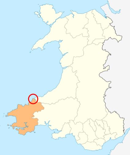
Allt-y-goed is located at Grid Ref: SN1349 (Lat: 52.111746, Lng: -4.723931)
Unitary Authority: Pembrokeshire
Police Authority: Dyfed Powys
What 3 Words
///waggled.rejoins.gobbling. Near Cardigan, Ceredigion
Nearby Locations
Related Wikis
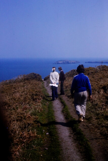
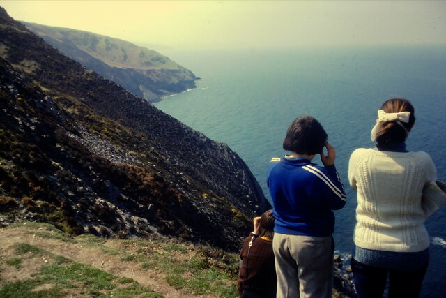
Cemaes Head
Cemaes Head (formerly Cemais, and historically anglicised as Cemmaes, Kemmaes or Kemmes) (Welsh: Pen Cemaes or Trwyn Cemaes) is a headland and nature reserve...
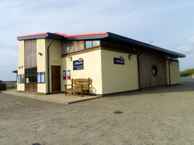
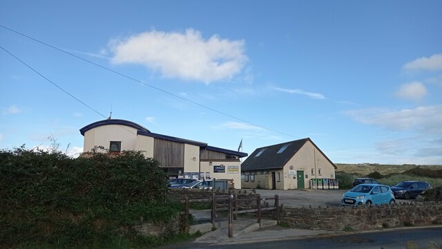
Cardigan Lifeboat Station
Cardigan Lifeboat Station, at Poppit Sands, North Pembrokeshire, near Cardigan, Ceredigion, Wales, is a Royal National Lifeboat Institution (RNLI) lifeboat...
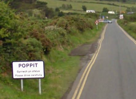
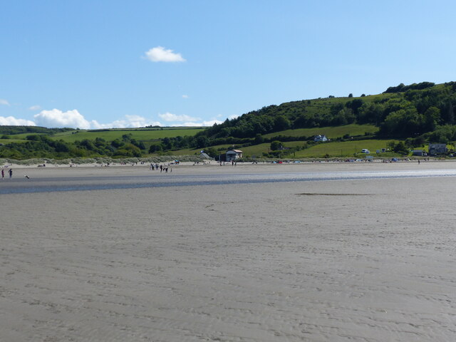
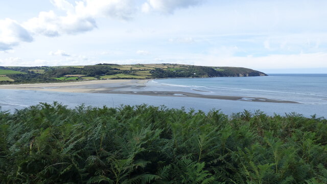
Poppit Sands
Poppit (Welsh: Poppit) is a small, dispersed settlement which lies on the southern side of the estuary of the River Teifi, near Cardigan, in northern Pembrokeshire...

River Teifi
The River Teifi (English: ; Welsh: Afon Teifi, pronounced [ˈavɔn ˈtei̯vi]) in Wales forms the boundary for most of its length between the counties of Ceredigion...
Related Videos

Cemaes Head and Poppit Sands, Ceredigion, Wales
Great weather for this lovely walk. Unfortunately Hamza had to return to France unexpectedly after the walk.


POPPIT SANDS BAY SUNRISE - CARDIGAN BAY - PEMBROKESHIRE ©MOSSYMEDIA
At the mouth of the Teifi Estuary, Poppit Sands is a sandy beach backed by dunes. At high water, there is plenty of beach but it's a ...
Nearby Amenities
Located within 500m of 52.111746,-4.723931Have you been to Allt-y-goed?
Leave your review of Allt-y-goed below (or comments, questions and feedback).