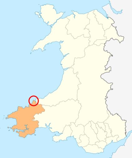
Careg Aderyn
Island in Pembrokeshire
Wales
Careg Aderyn
Careg Aderyn, also known as Bird Rock, is a stunning island located off the coast of Pembrokeshire in Wales. This small island, measuring about 60 meters in length and 25 meters in width, is situated just half a mile off the mainland, near the village of Marloes.
The island gets its name, Careg Aderyn, from the Welsh language, which translates to "Bird Rock." This name perfectly suits the island, as it is home to a large population of seabirds, including guillemots, razorbills, and kittiwakes. These birds use the island as a breeding ground and can be seen nesting on the cliffs and ledges.
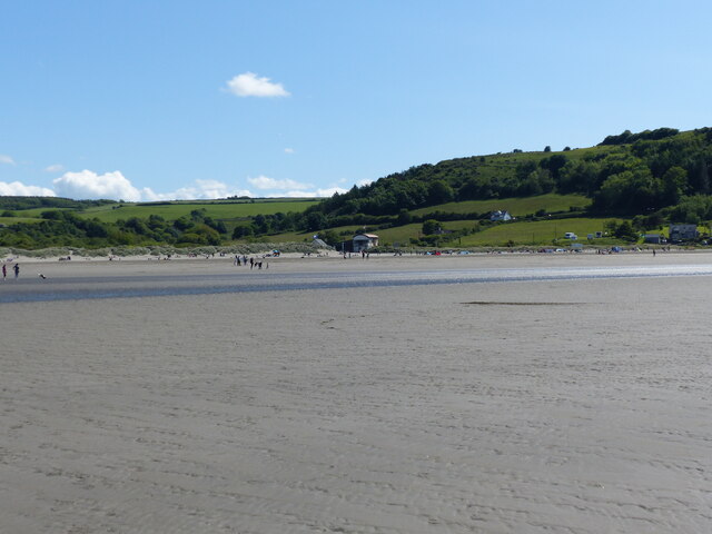
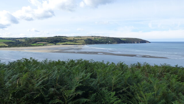
Careg Aderyn is accessible by foot during low tide, with a causeway connecting it to the mainland. However, during high tide, the island becomes completely cut off from the mainland, creating a sense of isolation and natural beauty. Visitors can explore the island's rugged coastline, cliffs, and rock pools, which are teeming with marine life.
The island is a designated Site of Special Scientific Interest (SSSI) due to its important bird population and geological features. The cliffs on Careg Aderyn showcase fascinating geological formations, with layers of sedimentary rock revealing millions of years of history.
With its picturesque views, abundant birdlife, and geological significance, Careg Aderyn is a popular attraction for nature lovers and birdwatchers. It provides a unique opportunity to experience the beauty and tranquility of a small island in the stunning coastal landscape of Pembrokeshire.
If you have any feedback on the listing, please let us know in the comments section below.
Careg Aderyn Images
Images are sourced within 2km of 52.115358/-4.7238043 or Grid Reference SN1349. Thanks to Geograph Open Source API. All images are credited.


Careg Aderyn is located at Grid Ref: SN1349 (Lat: 52.115358, Lng: -4.7238043)
Unitary Authority: Pembrokeshire
Police Authority: Dyfed Powys
What 3 Words
///array.chips.sobered. Near Cardigan, Ceredigion
Nearby Locations
Related Wikis
Cemaes Head
Cemaes Head (formerly Cemais, and historically anglicised as Cemmaes, Kemmaes or Kemmes) (Welsh: Pen Cemaes or Trwyn Cemaes) is a headland and nature reserve...
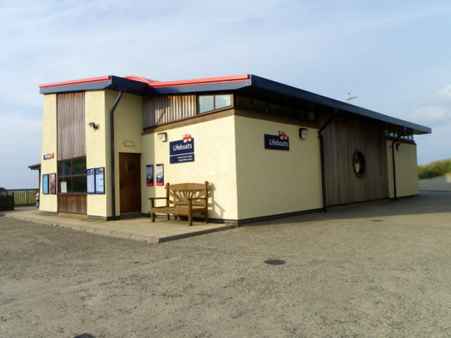
Cardigan Lifeboat Station
Cardigan Lifeboat Station, at Poppit Sands, North Pembrokeshire, near Cardigan, Ceredigion, Wales, is a Royal National Lifeboat Institution (RNLI) lifeboat...
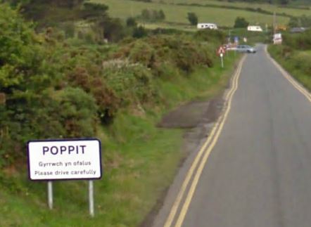
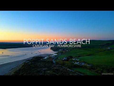
Poppit Sands
Poppit (Welsh: Poppit) is a small, dispersed settlement which lies on the southern side of the estuary of the River Teifi, near Cardigan, in northern Pembrokeshire...

Gwbert
Gwbert (Welsh pronunciation: [ˈɡubɛrt]), also known as Gwbert-on-Sea, is a cliff-top coastal village in Y Ferwig community, Ceredigion, Wales. It lies...
Related Videos

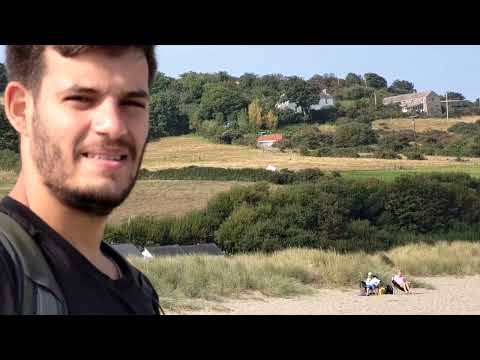
Cemaes Head and Poppit Sands, Ceredigion, Wales
Great weather for this lovely walk. Unfortunately Hamza had to return to France unexpectedly after the walk.

POPPIT SANDS BAY SUNRISE - CARDIGAN BAY - PEMBROKESHIRE ©MOSSYMEDIA
At the mouth of the Teifi Estuary, Poppit Sands is a sandy beach backed by dunes. At high water, there is plenty of beach but it's a ...
Nearby Amenities
Located within 500m of 52.115358,-4.7238043Have you been to Careg Aderyn?
Leave your review of Careg Aderyn below (or comments, questions and feedback).