Careg Lydan
Island in Pembrokeshire
Wales
Careg Lydan
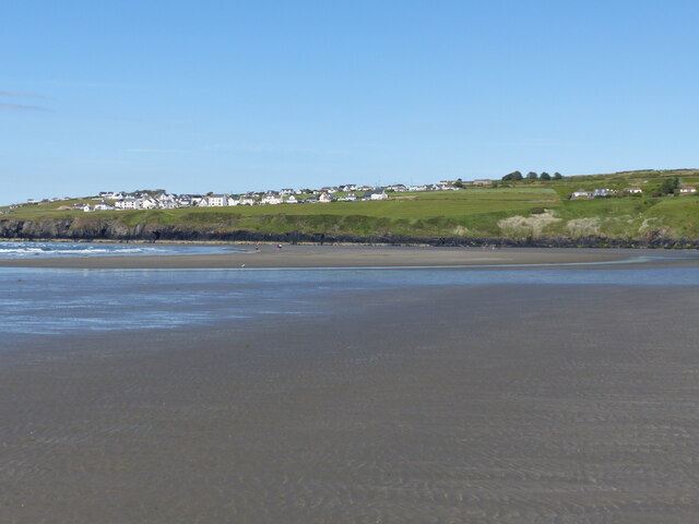
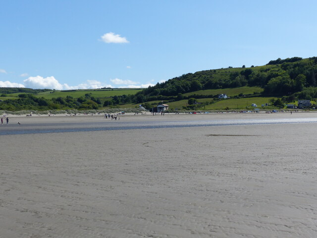
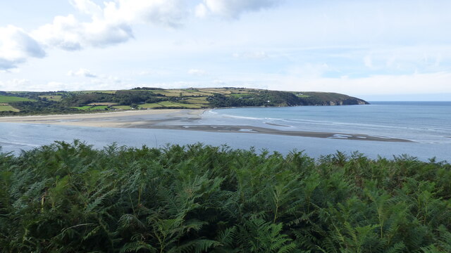
Careg Lydan is a small island located off the coast of Pembrokeshire, Wales. It is known for its stunning natural beauty and rich biodiversity. The island is situated in the Irish Sea, approximately 2 kilometers off the mainland, making it easily accessible by boat.
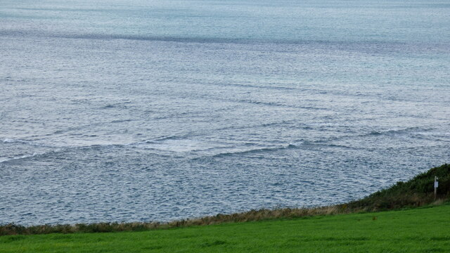
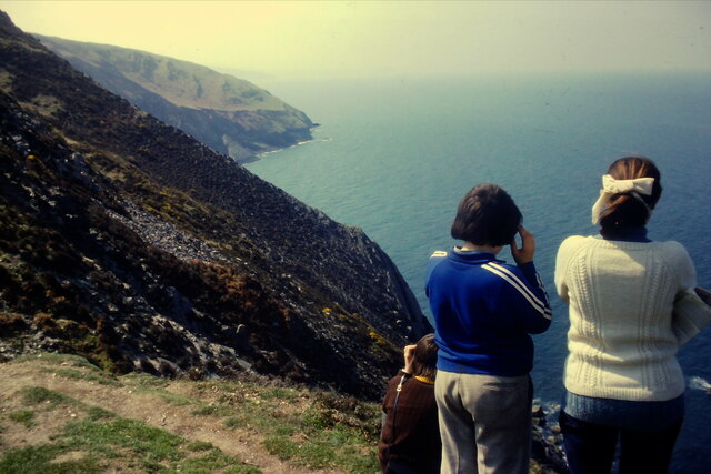
With an area of around 30 hectares, Careg Lydan is relatively small in size. However, it is home to a diverse range of habitats, including rugged cliffs, sandy beaches, and rocky shores. The island's cliffs provide nesting sites for various bird species, including guillemots, razorbills, and puffins. It is also a popular breeding ground for grey seals, which can often be spotted lounging on the island's shores.
The island is managed by the Wildlife Trust of South and West Wales, who work to protect and preserve its unique ecosystem. As a result, Careg Lydan is a designated nature reserve, ensuring the conservation of its flora and fauna.
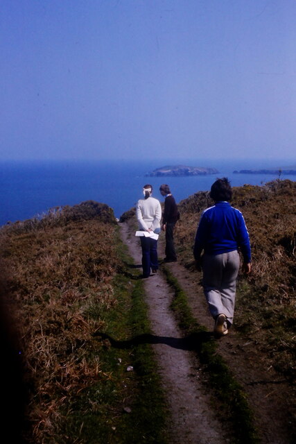
Visitors to Careg Lydan can explore the island's trails, which offer breathtaking views of the surrounding sea and coastline. The sandy beaches provide opportunities for picnicking and sunbathing, while the rocky shores are perfect for rock pooling and exploring the diverse marine life.
Careg Lydan is a haven for nature lovers and wildlife enthusiasts, offering a peaceful escape from the mainland. Its untouched beauty and abundant wildlife make it a must-visit destination for those seeking to immerse themselves in the natural wonders of Pembrokeshire.
If you have any feedback on the listing, please let us know in the comments section below.
Careg Lydan Images
Images are sourced within 2km of 52.112404/-4.7204983 or Grid Reference SN1349. Thanks to Geograph Open Source API. All images are credited.


Careg Lydan is located at Grid Ref: SN1349 (Lat: 52.112404, Lng: -4.7204983)
Unitary Authority: Pembrokeshire
Police Authority: Dyfed Powys
What 3 Words
///contracting.caps.scratches. Near Cardigan, Ceredigion
Nearby Locations
Related Wikis
Cemaes Head
Cemaes Head (formerly Cemais, and historically anglicised as Cemmaes, Kemmaes or Kemmes) (Welsh: Pen Cemaes or Trwyn Cemaes) is a headland and nature reserve...
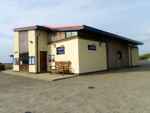
Cardigan Lifeboat Station
Cardigan Lifeboat Station, at Poppit Sands, North Pembrokeshire, near Cardigan, Ceredigion, Wales, is a Royal National Lifeboat Institution (RNLI) lifeboat...
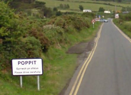
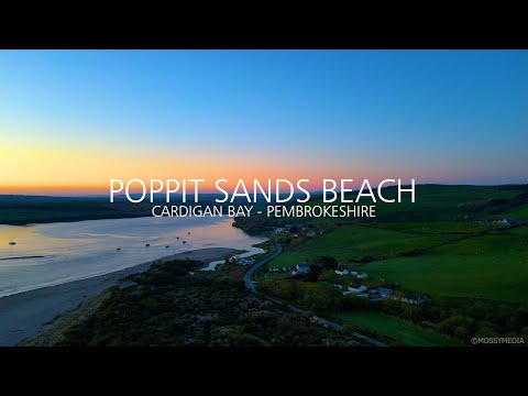
Poppit Sands
Poppit (Welsh: Poppit) is a small, dispersed settlement which lies on the southern side of the estuary of the River Teifi, near Cardigan, in northern Pembrokeshire...

Gwbert
Gwbert (Welsh pronunciation: [ˈɡubɛrt]), also known as Gwbert-on-Sea, is a cliff-top coastal village in Y Ferwig community, Ceredigion, Wales. It lies...
Related Videos

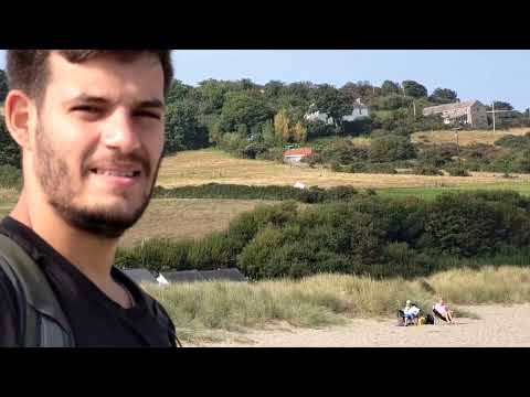
Cemaes Head and Poppit Sands, Ceredigion, Wales
Great weather for this lovely walk. Unfortunately Hamza had to return to France unexpectedly after the walk.

POPPIT SANDS BAY SUNRISE - CARDIGAN BAY - PEMBROKESHIRE ©MOSSYMEDIA
At the mouth of the Teifi Estuary, Poppit Sands is a sandy beach backed by dunes. At high water, there is plenty of beach but it's a ...
Nearby Amenities
Located within 500m of 52.112404,-4.7204983Have you been to Careg Lydan?
Leave your review of Careg Lydan below (or comments, questions and feedback).