Alltyblacca
Settlement in Cardiganshire
Wales
Alltyblacca
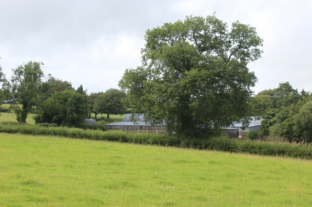
Alltyblacca is a small village located in the county of Cardiganshire, Wales. Situated in the picturesque countryside, it is nestled between the towns of Aberaeron and New Quay. The village is known for its tranquil and idyllic setting, boasting rolling hills, lush green fields, and meandering rivers.
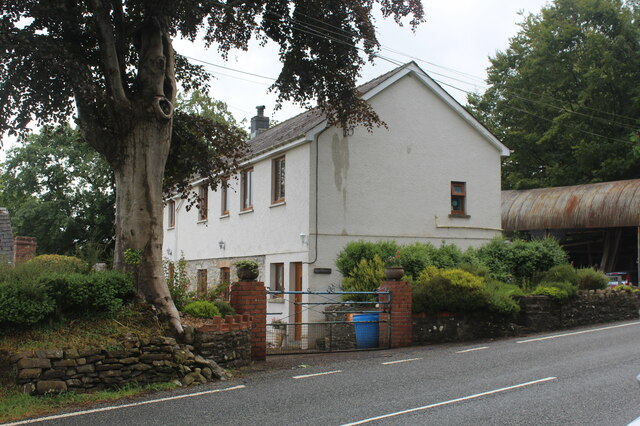
With a population of around 200 residents, Alltyblacca retains its rural charm and close-knit community atmosphere. The village is primarily residential, consisting of traditional stone-built houses and a scattering of farms. The local economy is predominantly based on agriculture, with farming and livestock playing a significant role in the lives of the villagers.
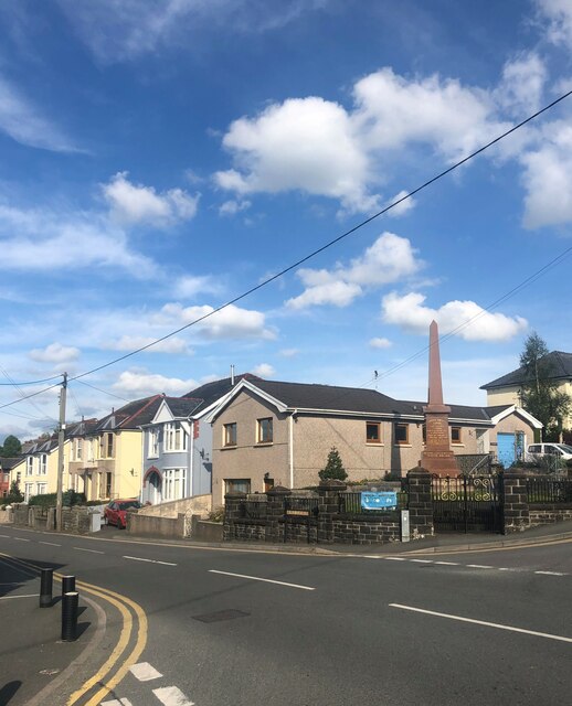
Although Alltyblacca is a small village, it benefits from its close proximity to nearby towns. Residents can easily access amenities such as schools, shops, and healthcare facilities in Aberaeron and New Quay, both of which are just a short drive away.
Nature enthusiasts and outdoor lovers are drawn to Alltyblacca due to its stunning surroundings. The village is surrounded by breathtaking landscapes, making it a perfect location for hiking, cycling, and exploring the nearby countryside. The area is also renowned for its diverse wildlife, with opportunities for birdwatching and nature observation.
Overall, Alltyblacca offers a peaceful and picturesque setting for those seeking a tranquil rural lifestyle. With its natural beauty and strong sense of community, the village provides a charming escape from the hustle and bustle of city life.
If you have any feedback on the listing, please let us know in the comments section below.
Alltyblacca Images
Images are sourced within 2km of 52.0888/-4.155671 or Grid Reference SN5245. Thanks to Geograph Open Source API. All images are credited.


Alltyblacca is located at Grid Ref: SN5245 (Lat: 52.0888, Lng: -4.155671)
Unitary Authority: Ceredigion
Police Authority: Dyfed Powys
Also known as: Alltyblaca
What 3 Words
///wimp.scans.other. Near Lampeter, Ceredigion
Nearby Locations
Related Wikis

Alltyblacca
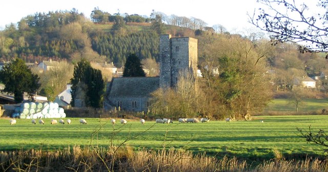
Alltyblaca is a village in the Welsh county of Ceredigion, Mid-West Wales, located on the road between Llanybydder and Llanwnnen. == The chapel == There...

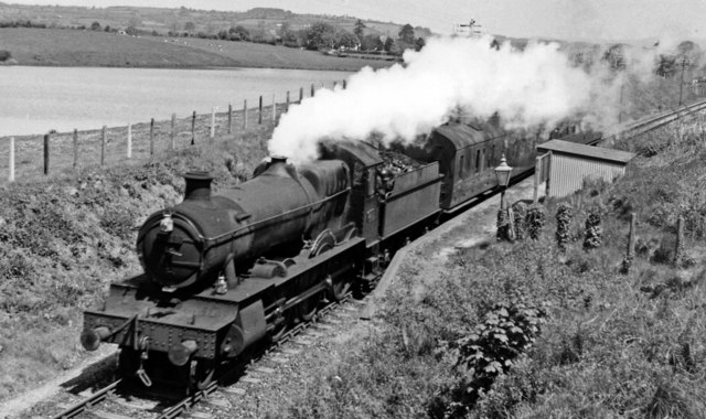
Pencarreg Halt railway station
Pencarreg Halt railway station served the hamlet and rural locale of Pencarreg from 1930 to 1965 on the old Carmarthen Aberystwyth Line in the Welsh county...
Pencarreg
Pencarreg () is a village and community located in Carmarthenshire, Wales, 4 miles (6.4 km) to the south-west of Lampeter. Settlement is primarily grouped...

Llanybydder railway station
Llanybydder railway station also Llanybyther railway station served the town of Llanybydder on the Carmarthen Aberystwyth Line in the Welsh counties of...

Llyn Pencarreg
Llyn Pencarreg is an oligotrophic lake that is Site of Special Scientific Interest in Carmarthen & Dinefwr, Wales. == See also == List of Sites of Special...
Llanybydder
Llanybydder (Welsh pronunciation: [ˌɬanəˈbəðɛr], sometimes formerly spelt Llanybyther) is a market town and community straddling the River Teifi in Carmarthenshire...
Corsydd a Rwyth Cilyblaidd
Corsydd a Rwyth Cilyblaidd is a wetland area that is a Site of Special Scientific Interest in Carmarthen & Dinefwr, Wales. == See also == List of Sites...
Llanwnnen
Llanwnnen is a village, parish and community located in the county of Ceredigion, Wales. The population of the community taken at the 2011 census was 490...
Nearby Amenities
Located within 500m of 52.0888,-4.155671Have you been to Alltyblacca?
Leave your review of Alltyblacca below (or comments, questions and feedback).