Alltyblaca
Settlement in Cardiganshire
Wales
Alltyblaca
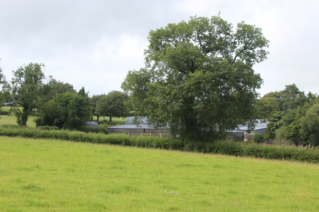
Alltyblaca is a small village located in the county of Cardiganshire, Wales. Situated amidst the scenic beauty of the Welsh countryside, it is nestled in the Teifi Valley, near the town of Llandysul. The village is surrounded by rolling hills, lush green meadows, and picturesque farmland, creating a serene and idyllic atmosphere.
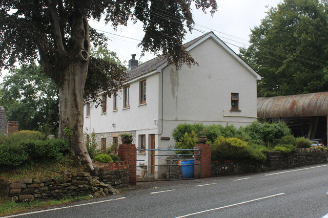
Alltyblaca is known for its rich agricultural heritage, with farming being the primary occupation of its residents. The fertile soil and favorable climate of the region make it ideal for cultivating crops and rearing livestock. The village is dotted with traditional farmhouses and barns, giving it a charming and rustic feel.
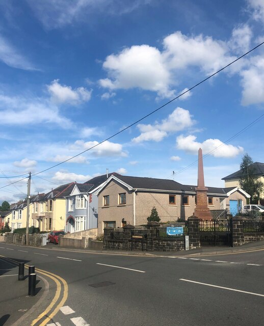
Despite its small size, Alltyblaca has a close-knit community that takes pride in its Welsh heritage. The Welsh language is commonly spoken, and traditional customs and celebrations are still observed. The village has a small local school, providing education to the children of the community.
The surrounding countryside offers ample opportunities for outdoor activities and exploration. The Teifi River, which flows nearby, is a popular spot for fishing and boating enthusiasts. There are also several walking trails and nature reserves in the vicinity, allowing visitors to immerse themselves in the beauty of the Welsh countryside.
Overall, Alltyblaca is a peaceful and scenic village that offers a glimpse into the traditional rural life of Wales. Its stunning natural surroundings and strong sense of community make it a desirable destination for those seeking tranquility and a connection with nature.
If you have any feedback on the listing, please let us know in the comments section below.
Alltyblaca Images
Images are sourced within 2km of 52.084677/-4.160319 or Grid Reference SN5245. Thanks to Geograph Open Source API. All images are credited.


Alltyblaca is located at Grid Ref: SN5245 (Lat: 52.084677, Lng: -4.160319)
Unitary Authority: Ceredigion
Police Authority: Dyfed Powys
Also known as: Alltyblacca
What 3 Words
///movement.sample.sundial. Near Lampeter, Ceredigion
Nearby Locations
Related Wikis

Alltyblacca
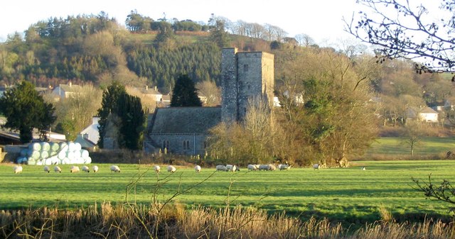
Alltyblaca is a village in the Welsh county of Ceredigion, Mid-West Wales, located on the road between Llanybydder and Llanwnnen. == The chapel == There...

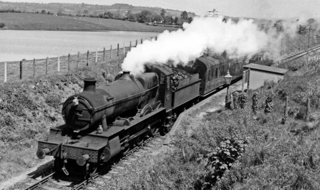
Llanybydder railway station
Llanybydder railway station also Llanybyther railway station served the town of Llanybydder on the Carmarthen Aberystwyth Line in the Welsh counties of...
Llanybydder
Llanybydder (Welsh pronunciation: [ˌɬanəˈbəðɛr], sometimes formerly spelt Llanybyther) is a market town and community straddling the River Teifi in Carmarthenshire...

Pencarreg
Pencarreg () is a village and community located in Carmarthenshire, Wales, 4 miles (6.4 km) to the south-west of Lampeter. Settlement is primarily grouped...
Nearby Amenities
Located within 500m of 52.084677,-4.160319Have you been to Alltyblaca?
Leave your review of Alltyblaca below (or comments, questions and feedback).