Cadwgan

Settlement in Monmouthshire

Wales

Cadwgan

The Vale of Ewyas below Coed Ty-Canol
The Vale of Ewyas below Coed Ty-Canol Credit: Jonathan Thacker

Cadwgan is a small village located in the historic county of Monmouthshire, Wales. Situated on the banks of the River Wye, it is surrounded by picturesque countryside and offers a tranquil setting for its residents and visitors.

The village dates back to medieval times, and its name is derived from the Welsh language, meaning "warrior's fortress." This hints at its rich history, which can be seen in the remnants of the Cadwgan Castle that once stood proudly here. Today, only the ruins of the castle remain, but they serve as a reminder of the area's past.

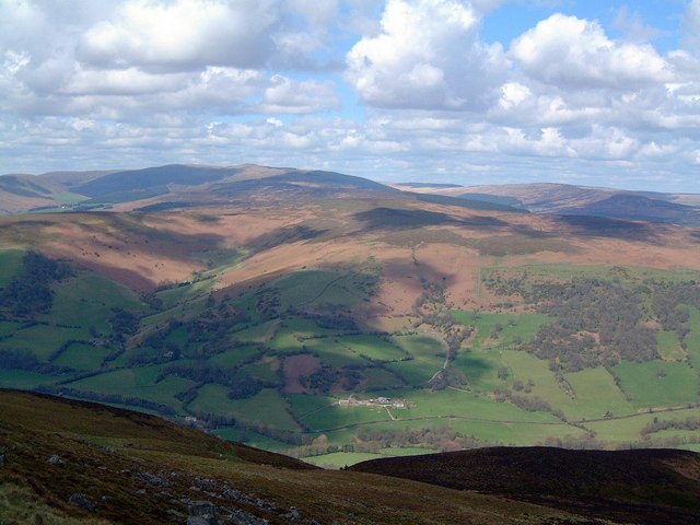
Cadwgan is known for its scenic beauty, with rolling hills and stunning views of the Wye Valley. The village is a popular destination for outdoor enthusiasts, offering opportunities for hiking, cycling, and fishing. The nearby river also provides a peaceful spot for picnics and leisurely walks.

Despite its small size, Cadwgan has a close-knit community that takes pride in preserving its heritage. The village has a few local amenities, including a village hall, a charming pub, and a small shop catering to the daily needs of its residents.

For those seeking a peaceful retreat away from the bustle of city life, Cadwgan provides a serene environment in the heart of Monmouthshire. Its idyllic setting, combined with its rich history and welcoming community, make it a hidden gem worth exploring.

If you have any feedback on the listing, please let us know in the comments section below.
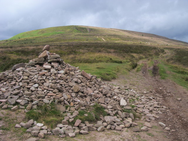
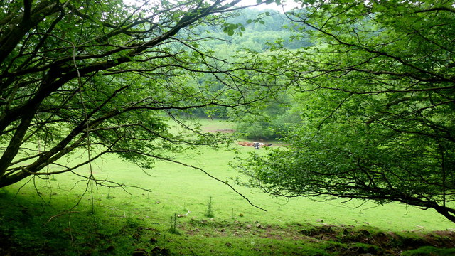
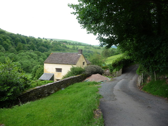
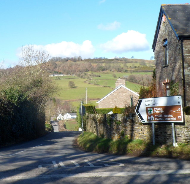
Cadwgan Images

Images are sourced within 2km of 51.92/-3.0615 or Grid Reference SO2725. Thanks to Geograph Open Source API. All images are credited.

The Vale of Ewyas below Coed Ty-Canol
The road to Llanthony
Gate and public footpath on the right side of the road to Llanthony
Bends in the road on the way to Llanthony
The Revenge Stone The stone, known as 'Carreg Ddial' (The Revenge Stone) on the path to Garn Wen
The Revenge Stone
The stone, known as 'Carreg Ddial' (The Revenge Stone) on the path to Garn Wen
Garn Wen Cairn on summit of Garn Wen
Garn Wen
Cairn on summit of Garn Wen
Pile of Stones More than a "Pile of Stones" cairn by the path heading up to Bal Mawr
Pile of Stones
More than a "Pile of Stones" cairn by the path heading up to Bal Mawr
The Grwyne Fawr valley Beef cattle in the lush green pasture of the valley floor.
The Grwyne Fawr valley
Beef cattle in the lush green pasture of the valley floor.
Road along the Grwyne Fawr valley, 1 Looking south towards Forest Coal Pit and Abergavenny.
Road along the Grwyne Fawr valley, 1
Looking south towards Forest Coal Pit and Abergavenny.
Road along the Grwyne Fawr valley, 2 Looking north.
Road along the Grwyne Fawr valley, 2
Looking north.
The Grwyne Fawr at Coed-dias Looking upstream at the point where the valley becomes heavily wooded.
The Grwyne Fawr at Coed-dias
Looking upstream at the point where the valley becomes heavily wooded.
The Grwyne Fawr at Coed-dias, 2 Looking downstream.
The Grwyne Fawr at Coed-dias, 2
Looking downstream.
Road along the Grwyne Fawr valley, 3 Looking down the valley near the Coed-dias bridge.
The phone box in <a href="https://www.geograph.org.uk/photo/23649">SO2724 : Phonebox in Mynydd Du Forest</a> has now gone.
Road along the Grwyne Fawr valley, 3
Looking down the valley near the Coed-dias bridge. The phone box in SO2724 : Phonebox in Mynydd Du Forest has now gone.
Road along the Grwyne Fawr valley, 4 Looking up the valley from the Coed-dias turn.
The large trees here are mature ash. These are currently (2016) not affected by Chalara Ash Dieback; see <span class="nowrap"><a title="http://www.forestry.gov.uk/ashdieback#description" rel="nofollow ugc noopener" href="http://www.forestry.gov.uk/ashdieback#description">Link</a><img style="margin-left:2px;" alt="External link" title="External link - shift click to open in new window" src="https://s1.geograph.org.uk/img/external.png" width="10" height="10"/></span>
Road along the Grwyne Fawr valley, 4
Looking up the valley from the Coed-dias turn. The large trees here are mature ash. These are currently (2016) not affected by Chalara Ash Dieback; see LinkExternal link
Mature ash trees in the Grwyne Fawr valley The large trees here are mature ash. These are currently (2016) not affected by Chalara Ash Dieback; see <span class="nowrap"><a title="http://www.forestry.gov.uk/ashdieback#description" rel="nofollow ugc noopener" href="http://www.forestry.gov.uk/ashdieback#description">Link</a><img style="margin-left:2px;" alt="External link" title="External link - shift click to open in new window" src="https://s1.geograph.org.uk/img/external.png" width="10" height="10"/></span>
Mature ash trees in the Grwyne Fawr valley
The large trees here are mature ash. These are currently (2016) not affected by Chalara Ash Dieback; see LinkExternal link
Moorland meets forest Looking north along the ridge path at the point where it leaves the western edge of the Mynydd Du Forest which occupies a large proportion of the upper Grwyne Fawr valley. Stray self-seeded spruce trees dot the moorland hereabouts.
The flat-topped hill in the distance is Pen Twyn Mawr.
Moorland meets forest
Looking north along the ridge path at the point where it leaves the western edge of the Mynydd Du Forest which occupies a large proportion of the upper Grwyne Fawr valley. Stray self-seeded spruce trees dot the moorland hereabouts. The flat-topped hill in the distance is Pen Twyn Mawr.
Ridge path, 7 Main path along the central Black Mountains ridge, looking north with the flat top of Pen Twyn Mawr in the distance
The clear-felled edge of Mynydd Du Forest to the right. Some self-seeded trees dot the moorland hereabouts.
Ridge path, 7
Main path along the central Black Mountains ridge, looking north with the flat top of Pen Twyn Mawr in the distance The clear-felled edge of Mynydd Du Forest to the right. Some self-seeded trees dot the moorland hereabouts.
Ridge path, 8 Main path along the central Black Mountains ridge, looking south with Ysgyryd Fawr and Y fal prominent in the far distance.
The clear-felled edge of Mynydd Du Forest to the left.
Ridge path, 8
Main path along the central Black Mountains ridge, looking south with Ysgyryd Fawr and Y fal prominent in the far distance. The clear-felled edge of Mynydd Du Forest to the left.
Show me another place!

Cadwgan is located at Grid Ref: SO2725 (Lat: 51.92, Lng: -3.0615)

Unitary Authority: Monmouthshire

Police Authority: Gwent

What 3 Words

///grinning.diner.rebounded. Near Longtown, Herefordshire

Related Wikis

Ty-mawr Farmhouse, Cwmyoy

Ty-mawr Farmhouse, Ffwthog, Cwmyoy, Monmouthshire, is a farmhouse dating from the early 16th century, which was extended in the 17th century and then reduced...

Cwm Bwchel Farmhouse, Llanthony

Cwm Bwchel Farmhouse, Llanthony, Monmouthshire is a farmhouse dating from the late-Medieval period. It carries a date stone of 1694, which probably refers...

Crucorney

Crucorney Welsh: Crucornau is a community in the county of Monmouthshire, Wales. It is the northernmost community in the county and covers the villages...

Crug Mawr

Crug Mawr is a hill in the Black Mountains in the Brecon Beacons National Park in southern Powys, Wales. Its summit at a height of 550 m (1,805 ft) is...

Nearby Amenities

Located within 500m of 51.92,-3.0615
Parking
Pont Cadwgan
Lat/Long: 51.9199841/-3.0671141
Barrier: stile
Lat/Long: 51.9222895/-3.056045
The data included in this document is from www.openstreetmap.org. The data is made available under ODbL.

Have you been to Cadwgan?

Leave your review of Cadwgan below (or comments, questions and feedback).