Cwm Nant Brân
Valley in Monmouthshire
Wales
Cwm Nant Brân

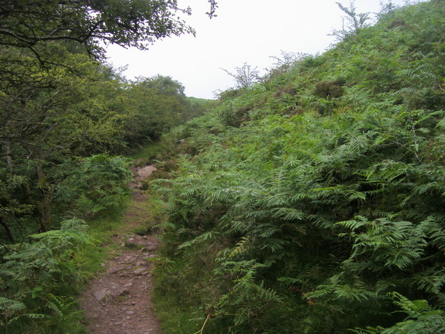
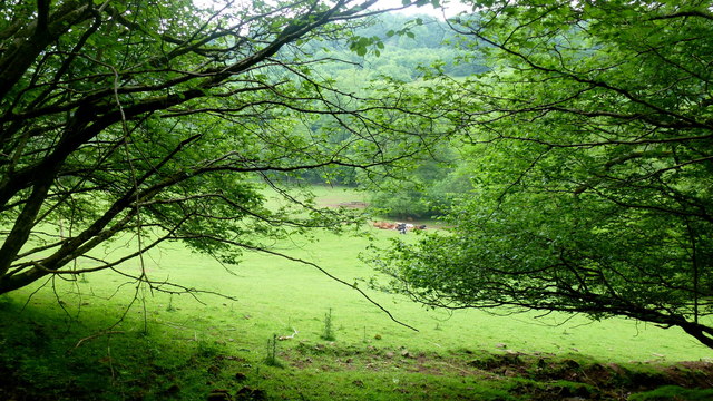
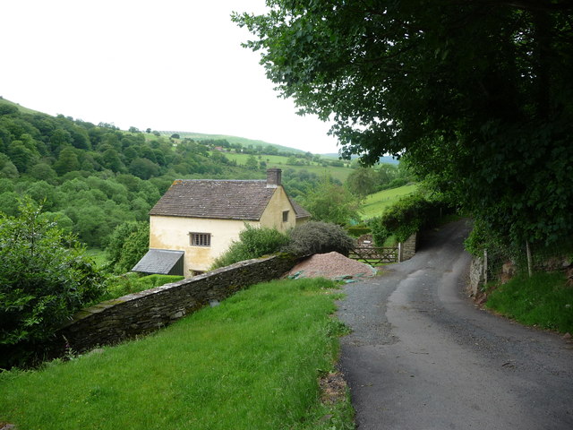
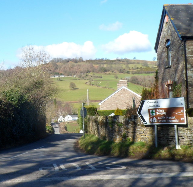
Cwm Nant Brân is a picturesque valley located in Monmouthshire, Wales. Nestled within the Brecon Beacons National Park, it is known for its stunning natural beauty and rich history. The valley is situated near the town of Crickhowell and is surrounded by rolling hills, lush green meadows, and dense woodlands.
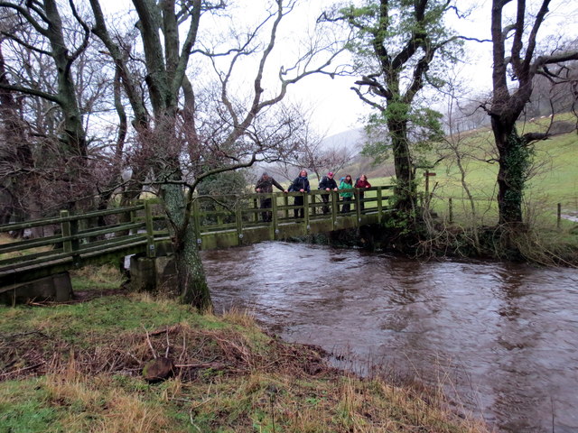
The name "Cwm Nant Brân" translates to "Valley of the Crow River" in English. The river itself meanders through the valley, adding to its charm and tranquility. The valley is also home to numerous streams and waterfalls, creating a serene and peaceful atmosphere.
Cwm Nant Brân boasts a diverse range of flora and fauna, making it an ideal destination for nature enthusiasts and wildlife lovers. The valley is home to a variety of bird species, including buzzards, ravens, and dippers. Rare plants and wildflowers, such as bluebells and orchids, can also be found in the valley, adding bursts of color to the landscape.
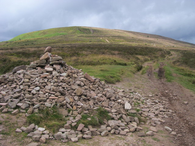
In addition to its natural beauty, Cwm Nant Brân has a rich history that dates back centuries. The remains of old iron mines and quarries can still be seen in the valley, serving as a reminder of its industrial past. The area also has several ancient monuments and archaeological sites, including the ruins of Llangattock Lingoed Castle, which provide a glimpse into the valley's historical significance.
Overall, Cwm Nant Brân offers visitors a chance to immerse themselves in the beauty of nature while exploring its fascinating history. Whether it's hiking through the scenic trails, enjoying a picnic by the river, or simply taking in the breathtaking views, the valley provides a peaceful and idyllic escape from the bustling city life.
If you have any feedback on the listing, please let us know in the comments section below.
Cwm Nant Brân Images
Images are sourced within 2km of 51.920805/-3.0579748 or Grid Reference SO2725. Thanks to Geograph Open Source API. All images are credited.


Cwm Nant Brân is located at Grid Ref: SO2725 (Lat: 51.920805, Lng: -3.0579748)
Unitary Authority: Monmouthshire
Police Authority: Gwent
What 3 Words
///specifies.sooner.dollar. Near Longtown, Herefordshire
Nearby Locations
Related Wikis
Ty-mawr Farmhouse, Cwmyoy
Ty-mawr Farmhouse, Ffwthog, Cwmyoy, Monmouthshire, is a farmhouse dating from the early 16th century, which was extended in the 17th century and then reduced...

Cwm Bwchel Farmhouse, Llanthony
Cwm Bwchel Farmhouse, Llanthony, Monmouthshire is a farmhouse dating from the late-Medieval period. It carries a date stone of 1694, which probably refers...
Crucorney
Crucorney Welsh: Crucornau is a community in the county of Monmouthshire, Wales. It is the northernmost community in the county and covers the villages...

Tabernacle Baptist Chapel, Cwmyoy
The Tabernacle Baptist Chapel, Ffwthog, near Cwmyoy, Monmouthshire is a Baptist chapel, with attached manse, dating from 1837. Largely unaltered externally...
Nearby Amenities
Located within 500m of 51.920805,-3.0579748Have you been to Cwm Nant Brân?
Leave your review of Cwm Nant Brân below (or comments, questions and feedback).