Cadwst
Settlement in Merionethshire
Wales
Cadwst

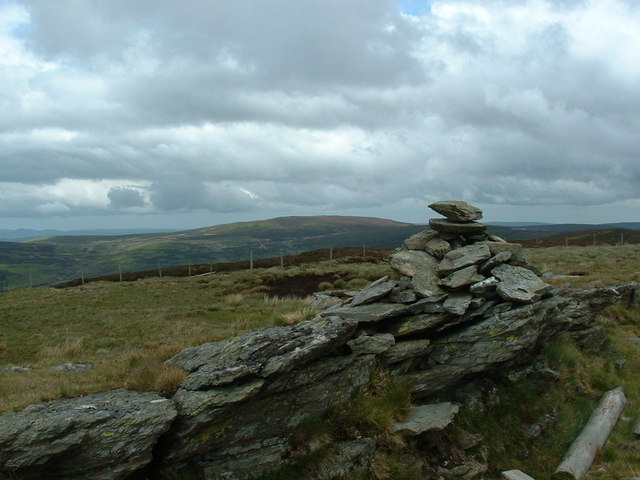
Cadwst is a small village located in the county of Merionethshire, Wales. Situated in the heart of Snowdonia National Park, it is surrounded by stunning natural beauty and breathtaking landscapes. The village is nestled in a valley and is known for its picturesque setting, with rolling hills, lush green fields, and the nearby Cadwst River flowing through the countryside.
Cadwst is a close-knit community, with a population of around 300 residents. The village has a rich history, dating back to the medieval period, and is home to several historic buildings and landmarks. One notable landmark is the Cadwst Castle, a 13th-century fortress that stands on a hill overlooking the village. The castle, although now in ruins, provides a glimpse into the region's past and attracts many tourists.
In terms of amenities, Cadwst has a few small local shops and a village pub, providing essential services to its residents. The village is also a popular destination for outdoor enthusiasts, offering numerous hiking trails and opportunities for fishing and birdwatching in the surrounding areas.
The community in Cadwst is known for its strong sense of camaraderie and pride in the village's heritage. Various events and festivals are organized throughout the year, bringing locals and visitors together to celebrate the cultural traditions of the area.
Overall, Cadwst is a charming village that offers a peaceful and idyllic retreat for those seeking a tranquil getaway in the heart of the Welsh countryside.
If you have any feedback on the listing, please let us know in the comments section below.
Cadwst Images
Images are sourced within 2km of 52.90899/-3.439371 or Grid Reference SJ0335. Thanks to Geograph Open Source API. All images are credited.


Cadwst is located at Grid Ref: SJ0335 (Lat: 52.90899, Lng: -3.439371)
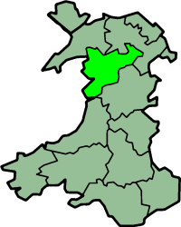
Unitary Authority: Denbighshire
Police Authority: North Wales
What 3 Words
///claim.charities.forms. Near Llandrillo, Denbighshire
Nearby Locations
Related Wikis

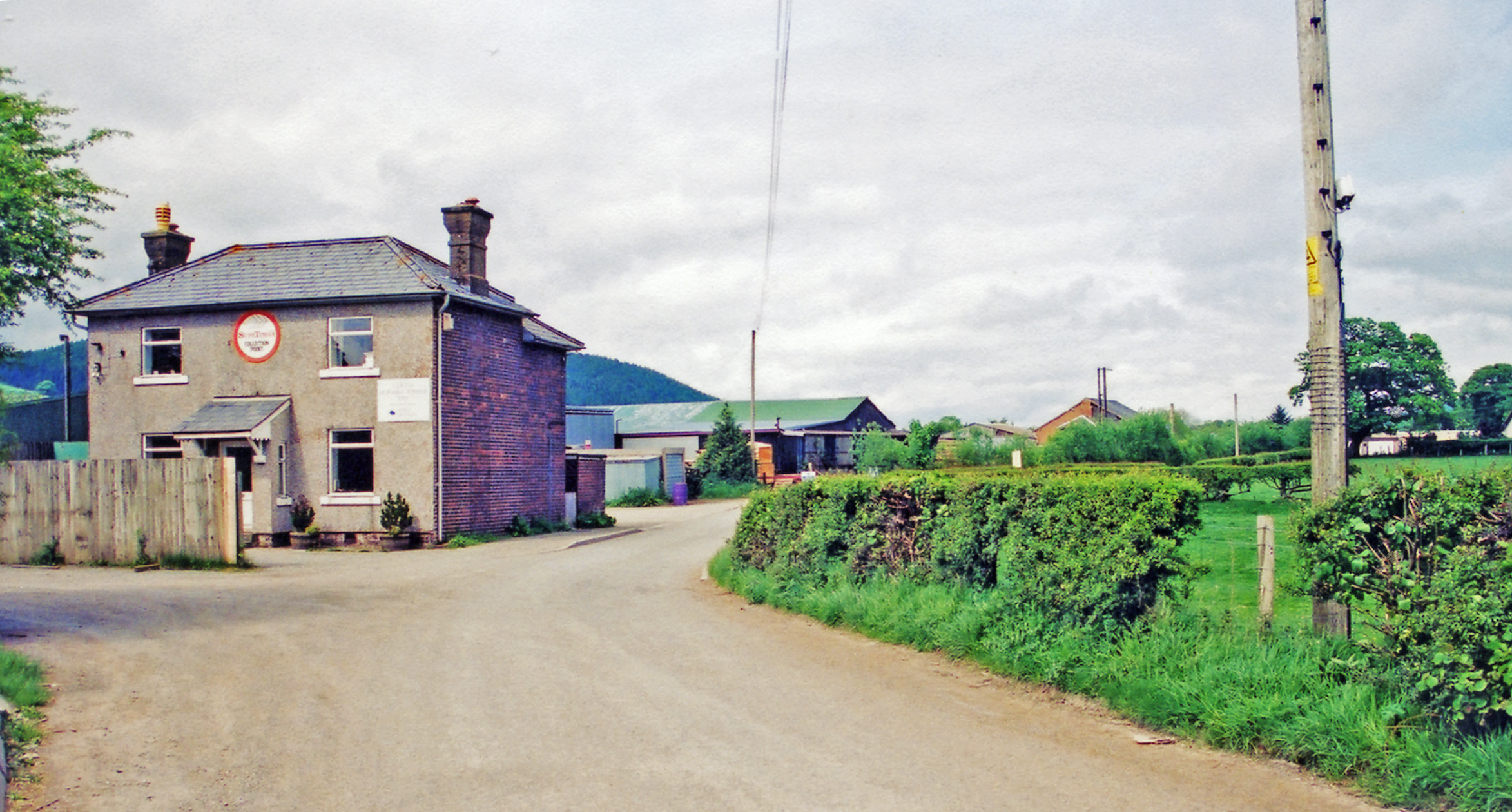
Llandrillo, Denbighshire
Llandrillo (or, in full, Llandrillo yn Edeirnion) is a small village and community in the Edeirnion area of Denbighshire in Wales, between Bala, and Corwen...

Berwyn range
The Berwyn range (Welsh: Y Berwyn or Mynydd y Berwyn) is an isolated and sparsely populated area of moorland in the northeast of Wales, roughly bounded...
Llandrillo railway station
Llandrillo railway station (ɬandriːɬɔ) in Denbighshire, Wales, was a station on the Ruabon to Barmouth line. It was to have closed to passengers on Monday...
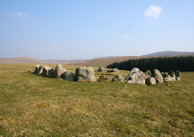
Moel Tŷ Uchaf
Moel Tŷ Uchaf is a stone circle (but most likely a ring cairn) near the village of Llandrillo, Denbighshire, north Wales. It is a collection of 41 stones...
Edeirnion
Edeirnion or Edeyrnion is an area of the county of Denbighshire and an ancient commote of medieval Wales in the cantref of Penllyn. According to tradition...
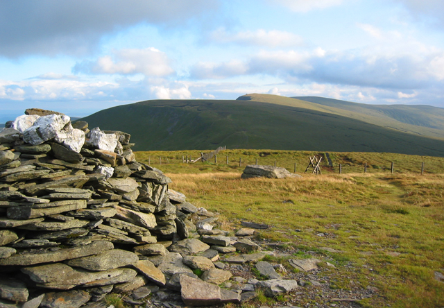
Cadair Bronwen
Cadair Bronwen is a mountain in North Wales and forms part of the Berwyn range. To the south are the higher Berwyn summits, including Cadair Berwyn. To...
Pen Bwlch Llandrillo
Moel yr Henfaes, also listed by the Nuttall's as Pen Bwlch Llandrillo Top and sometimes known as Moel yr Henfaes, is a mountain in North Wales and forms...
Cadair Berwyn
Cadair Berwyn, Cader Berwyn or Craig Uchaf is a mountain summit in north-east Wales with a height of 832 metres (2,730 ft) above sea level. It is the highest...
Nearby Amenities
Located within 500m of 52.90899,-3.439371Have you been to Cadwst?
Leave your review of Cadwst below (or comments, questions and feedback).