Coed Lletty
Wood, Forest in Merionethshire
Wales
Coed Lletty

Coed Lletty, located in Merionethshire, is a picturesque woodland area known for its natural beauty and rich biodiversity. Spanning over a vast expanse, Coed Lletty is a haven for nature enthusiasts and those seeking tranquility in the heart of Wales.
The forest boasts a diverse range of tree species, including oak, beech, and pine, creating a captivating tapestry of colors throughout the seasons. The canopy provides a cool and shaded environment, making it an ideal destination for summer hikes and picnics. The forest floor is adorned with a vibrant array of wildflowers and ferns, adding to its enchanting ambiance.
Coed Lletty is home to a variety of wildlife, from small mammals like squirrels and rabbits to larger creatures such as deer and foxes. Birdwatchers will be delighted by the frequent sightings of various bird species, including woodpeckers, owls, and songbirds.
Tranquil streams meander through the woodland, adding to the serenity of the surroundings. These streams are also home to a diverse range of aquatic life, offering a unique opportunity for nature enthusiasts to explore the delicate ecosystem.
The forest is crisscrossed by a network of well-maintained trails, making it accessible to visitors of all ages and abilities. These trails offer stunning views of the surrounding countryside and lead to hidden gems within the woodland, such as secluded waterfalls and ancient ruins.
Coed Lletty is not only a sanctuary for nature lovers but also plays a crucial role in conservation efforts. Its preservation ensures the protection of the local flora and fauna, ensuring that future generations can continue to enjoy its natural wonders.
If you have any feedback on the listing, please let us know in the comments section below.
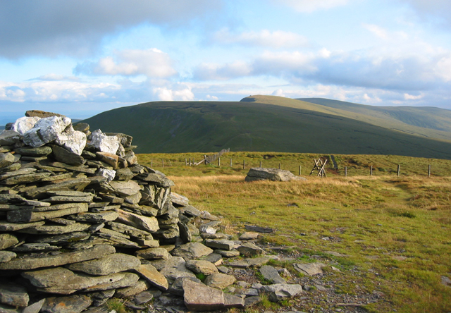
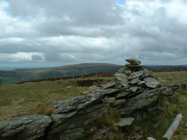
Coed Lletty Images
Images are sourced within 2km of 52.912044/-3.4425267 or Grid Reference SJ0335. Thanks to Geograph Open Source API. All images are credited.


Coed Lletty is located at Grid Ref: SJ0335 (Lat: 52.912044, Lng: -3.4425267)
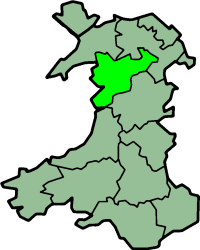
Unitary Authority: Denbighshire
Police Authority: North Wales
What 3 Words
///outbursts.stuffy.gashes. Near Llandrillo, Denbighshire
Nearby Locations
Related Wikis

Llandrillo, Denbighshire
Llandrillo (or, in full, Llandrillo yn Edeirnion) is a small village and community in the Edeirnion area of Denbighshire in Wales, between Bala, and Corwen...

Berwyn range
The Berwyn range (Welsh: Y Berwyn or Mynydd y Berwyn) is an isolated and sparsely populated area of moorland in the northeast of Wales, roughly bounded...
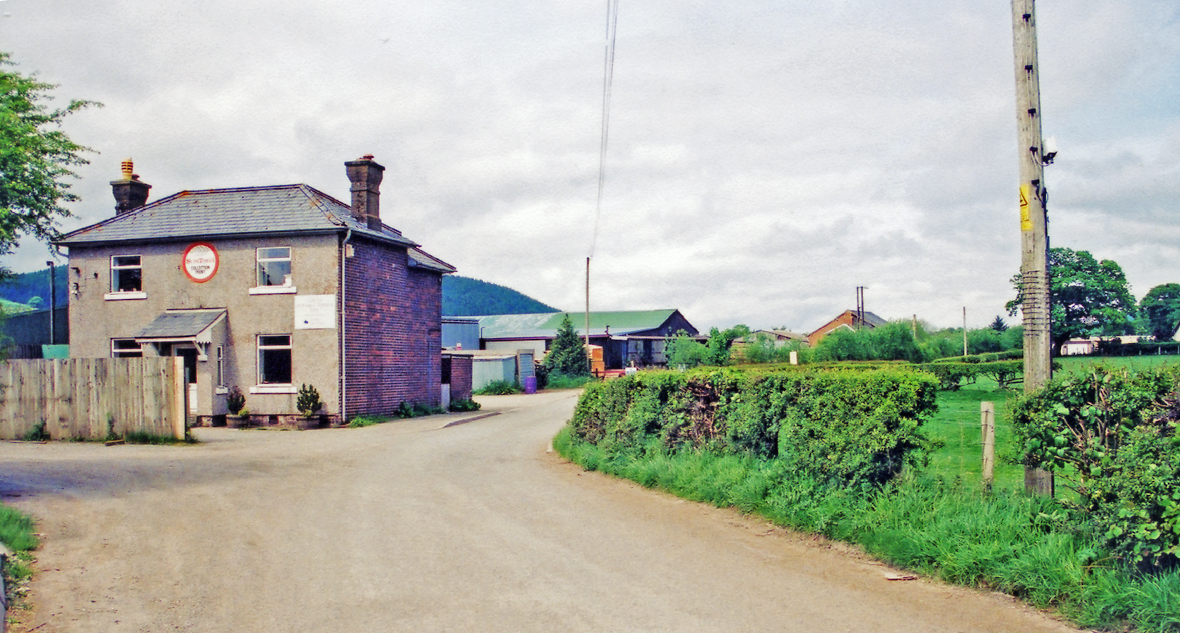
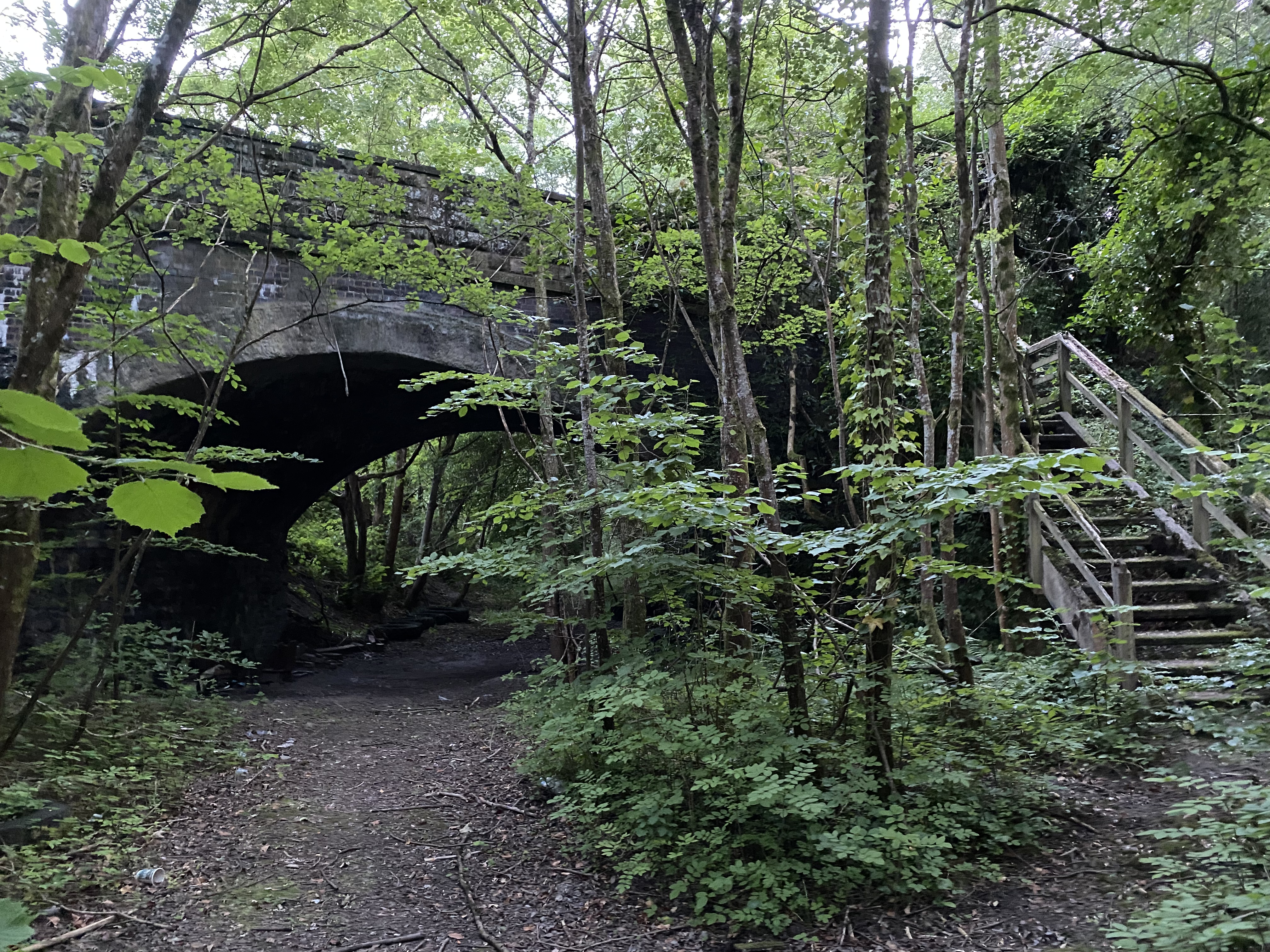
Llandrillo railway station
Llandrillo railway station (ɬandriːɬɔ) in Denbighshire, Wales, was a station on the Ruabon to Barmouth line. It was to have closed to passengers on Monday...
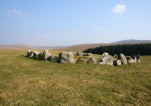
Moel Tŷ Uchaf
Moel Tŷ Uchaf is a stone circle (but most likely a ring cairn) near the village of Llandrillo, Denbighshire, north Wales. It is a collection of 41 stones...
Edeirnion
Edeirnion or Edeyrnion is an area of the county of Denbighshire and an ancient commote of medieval Wales in the cantref of Penllyn. According to tradition...
Llandderfel railway station
Llandderfel railway station in Gwynedd, Wales, was a station on the Ruabon to Barmouth line. It closed to passengers ahead of the scheduled closure date...
Cadair Bronwen
Cadair Bronwen is a mountain in North Wales and forms part of the Berwyn range. To the south are the higher Berwyn summits, including Cadair Berwyn. To...
Pen Bwlch Llandrillo
Moel yr Henfaes, also listed by the Nuttall's as Pen Bwlch Llandrillo Top and sometimes known as Moel yr Henfaes, is a mountain in North Wales and forms...
Nearby Amenities
Located within 500m of 52.912044,-3.4425267Have you been to Coed Lletty?
Leave your review of Coed Lletty below (or comments, questions and feedback).