Peniarth Wood
Wood, Forest in Montgomeryshire
Wales
Peniarth Wood

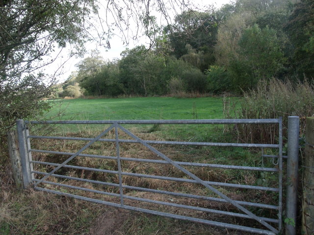
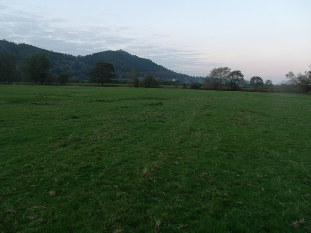
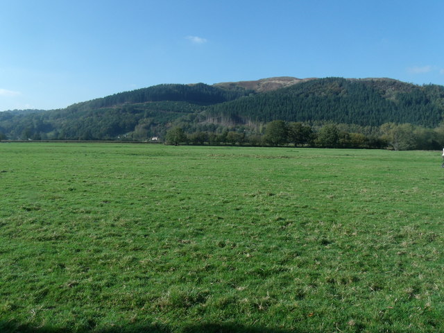
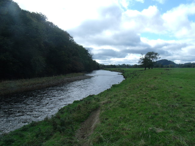
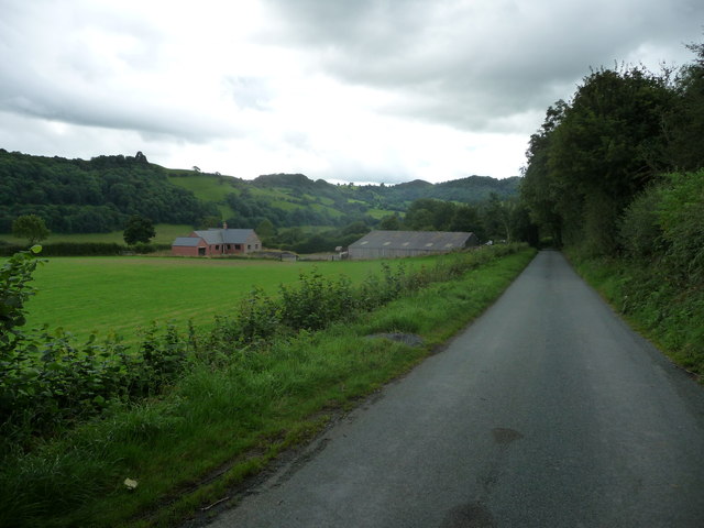
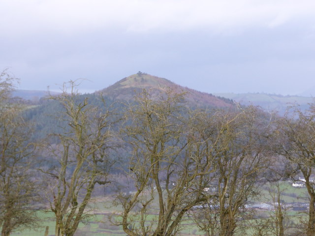
Peniarth Wood is a charming forest located in the county of Montgomeryshire, Wales. Situated near the village of Peniarth, the wood covers an area of approximately 100 hectares. It is known for its diverse range of flora and fauna, making it a popular destination for nature enthusiasts and wildlife lovers.
The wood is primarily composed of deciduous trees, including oak, beech, and birch, which create a stunning canopy during the summer months. The forest floor is adorned with a variety of wildflowers, such as bluebells and wood anemones, adding a splash of color to the landscape.
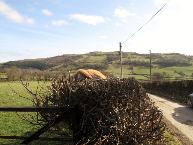
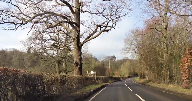
Several walking trails crisscross through Peniarth Wood, allowing visitors to explore its beauty at their own pace. These trails provide access to different sections of the forest, offering breathtaking views of the surrounding countryside. It is also a haven for birdwatchers, as a wide range of bird species can be spotted here, including woodpeckers, nuthatches, and various woodland songbirds.
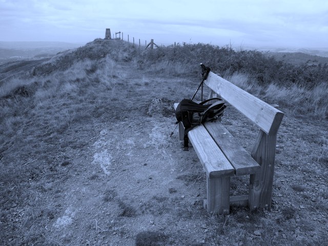
The wood is managed by the local forestry commission, ensuring the preservation of its natural beauty and the protection of its wildlife. It is open to the public throughout the year, and there are designated picnic areas and benches for visitors to relax and enjoy the tranquil surroundings.
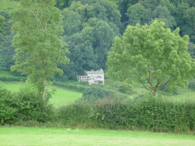
Peniarth Wood is not only a place of natural beauty but also holds historical significance. It is believed that the wood has been in existence for hundreds of years, serving as a source of timber and shelter for generations. Today, it continues to be a cherished natural treasure, providing a serene escape from the hustle and bustle of daily life.
If you have any feedback on the listing, please let us know in the comments section below.
Peniarth Wood Images
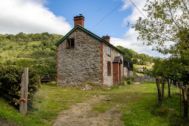
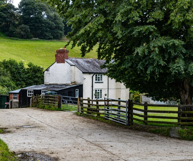
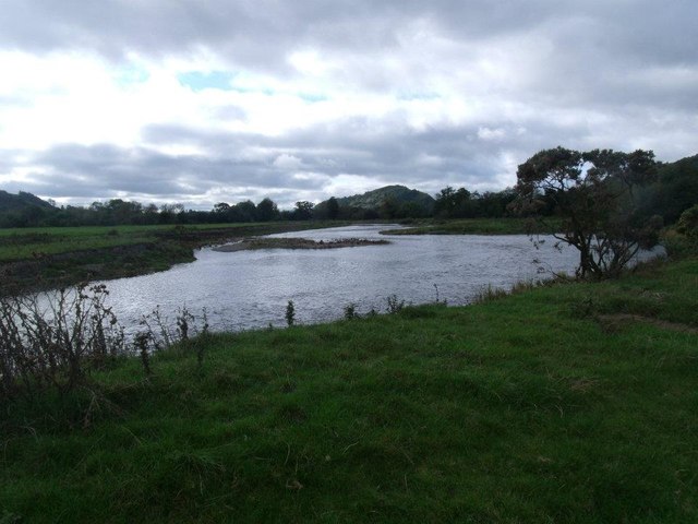
Images are sourced within 2km of 52.734099/-3.2374554 or Grid Reference SJ1615. Thanks to Geograph Open Source API. All images are credited.


Peniarth Wood is located at Grid Ref: SJ1615 (Lat: 52.734099, Lng: -3.2374554)
Unitary Authority: Powys
Police Authority: Dyfed Powys
What 3 Words
///camcorder.universally.tracking. Near Llanfyllin, Powys
Nearby Locations
Related Wikis

Allt-y-Main
Allt-y-Main is a hamlet in the community of Meifod, Powys, Wales, which is 86 miles (139 km) from Cardiff and 156 miles (252 km) from London. == References... ==
Bwlch-y-cibau
Bwlch-y-Cibau also known as the "pass of the husks" in English, is a small village located between Llanfyllin and Welshpool. It is situated on the A490...

Meifod
Meifod, formerly also written Meivod (), is a small village, community and electoral ward 7 miles north-west of Welshpool in Montgomeryshire, Powys, Wales...

Bryngwyn Halt railway station
Bryngwyn Halt railway station is a disused station that was on the Llanfyllin Branch of the Cambrian Railways. It served the villages of Bwlch-y-cibau...
Nearby Amenities
Located within 500m of 52.734099,-3.2374554Have you been to Peniarth Wood?
Leave your review of Peniarth Wood below (or comments, questions and feedback).