Allt y Main

Hill, Mountain in Montgomeryshire

Wales

Allt y Main

A495 near Meifod
A495 near Meifod Credit: Steven Brown

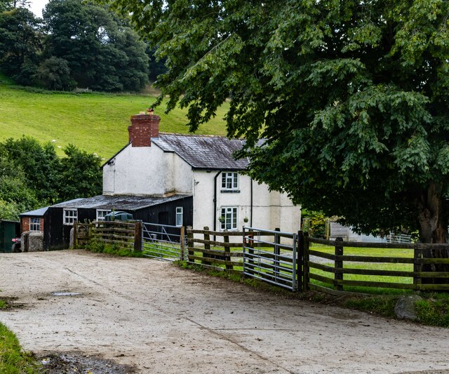
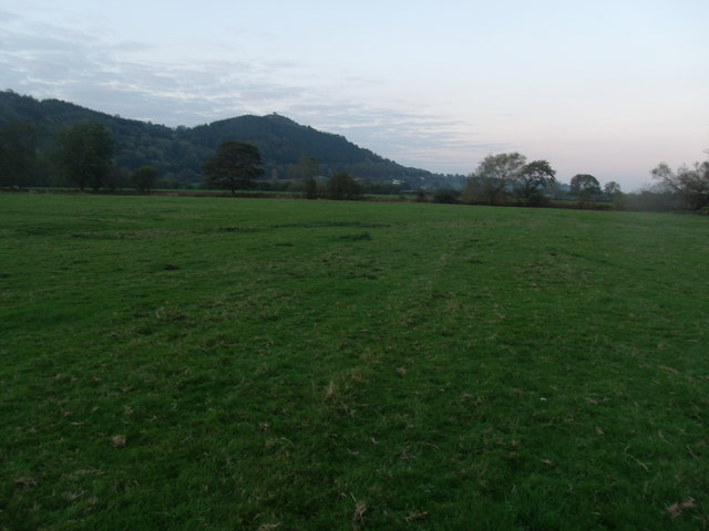
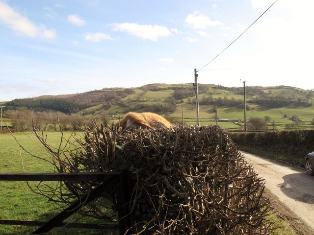
Allt y Main is a prominent hill located in the county of Montgomeryshire, Wales. With an elevation of approximately 153 meters (502 feet), it is classified as a hill rather than a mountain. It is situated in the western part of the county, near the village of Berriew.

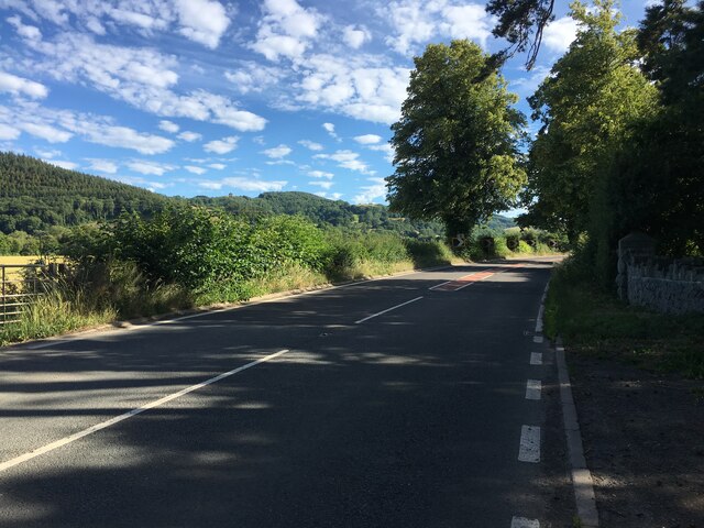
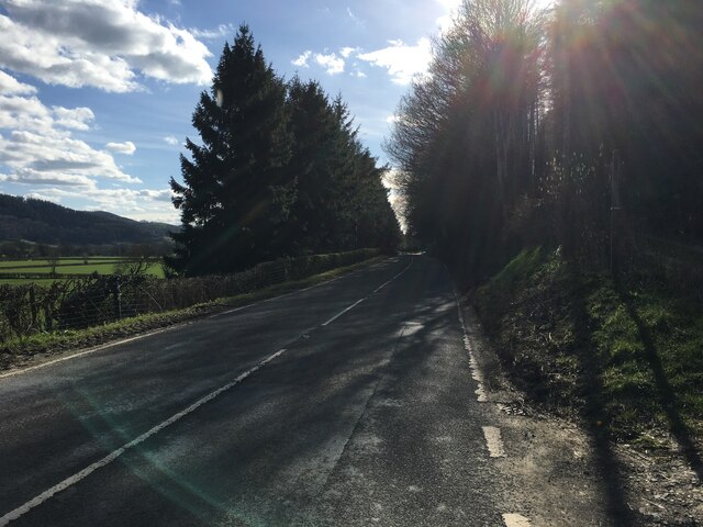
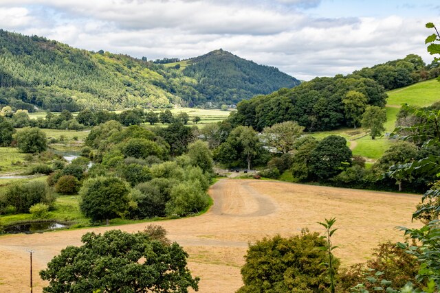
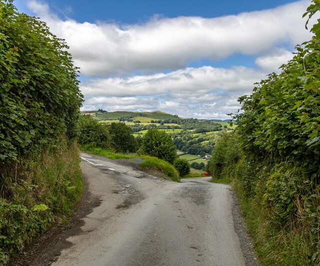
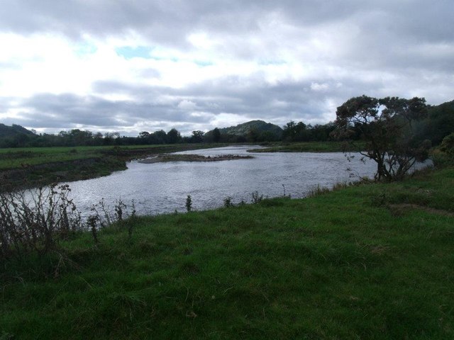
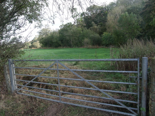
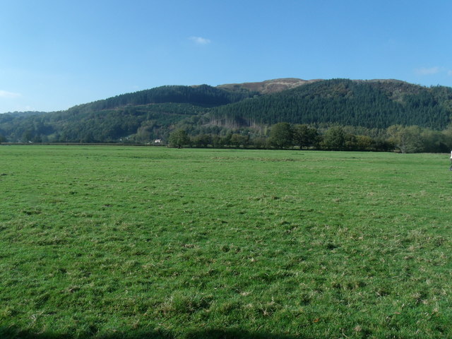
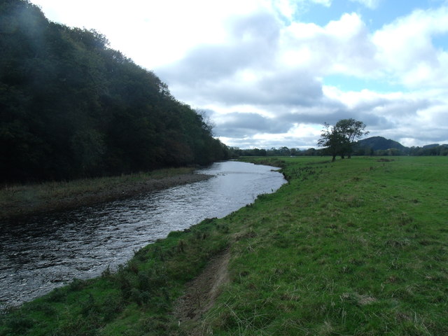
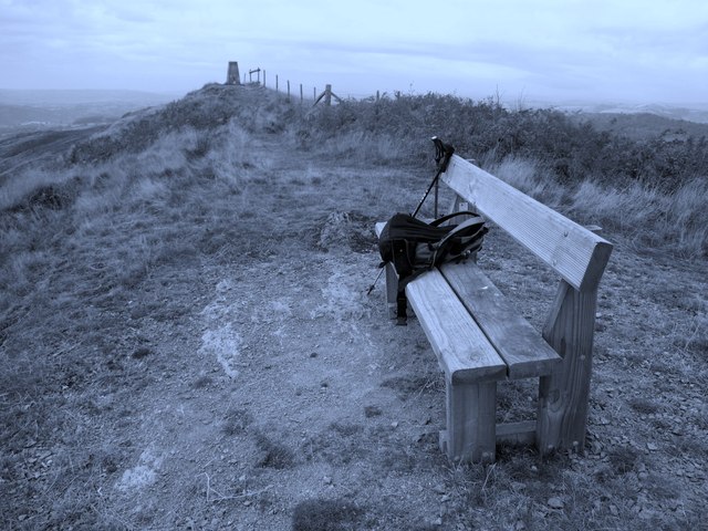
The hill offers breathtaking views of the surrounding countryside, with its gentle slopes covered in lush greenery. It is a popular spot for walkers and hikers, attracting outdoor enthusiasts from both near and far. The well-maintained footpaths and trails make it accessible for people of all ages and fitness levels.

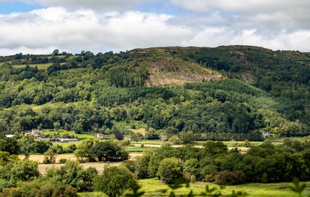
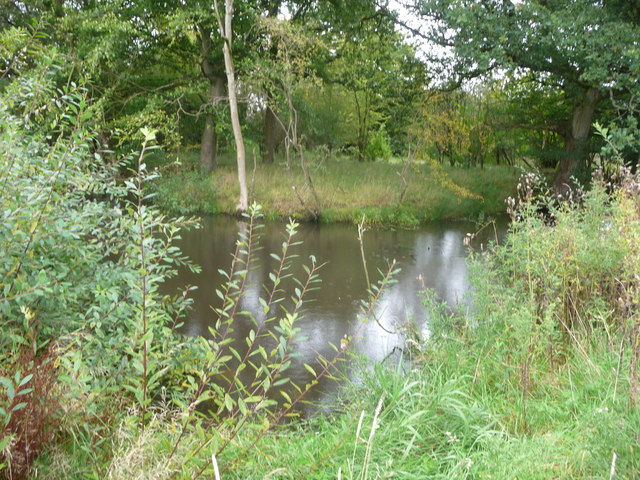
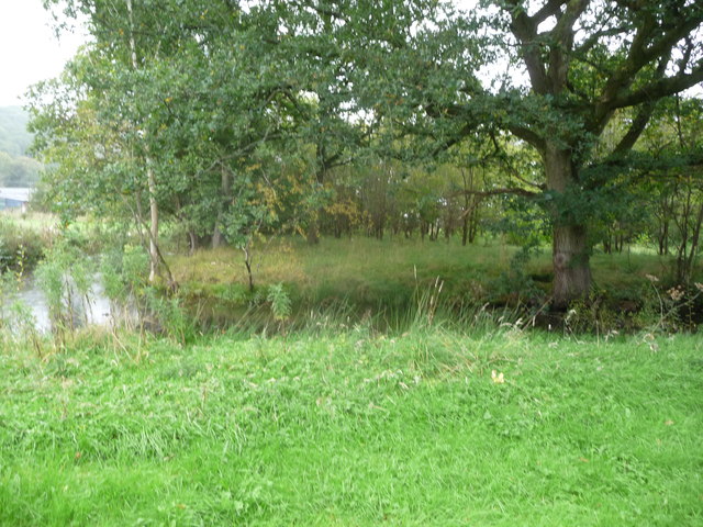
Allt y Main is known for its rich biodiversity and is home to a variety of flora and fauna. The hillside is adorned with a mix of deciduous and coniferous trees, creating a beautiful tapestry of colors throughout the year. Nature lovers can spot a range of wildlife, including birds, butterflies, and small mammals, while exploring the area.

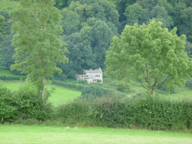
The hill has historical significance as well. It is believed to have been used as a lookout point during ancient times due to its strategic location. Additionally, remnants of an Iron Age hill fort can be found on the summit, adding to its historical intrigue.

Overall, Allt y Main offers a tranquil escape from the bustling city life, providing an opportunity to connect with nature and appreciate the beauty of the Montgomeryshire landscape.

If you have any feedback on the listing, please let us know in the comments section below.

Allt y Main Images

Images are sourced within 2km of 52.727433/-3.2421681 or Grid Reference SJ1615. Thanks to Geograph Open Source API. All images are credited.

A495 near Meifod
A495 near Meifod
A495 in Meifod
A495 in Meifod
A495 towards Meifod
A495 towards Meifod
Byrnant Cottage
Byrnant Cottage
Grwn-Amlwg The farm house at Grwn-Amlwg.
Grwn-Amlwg
The farm house at Grwn-Amlwg.
Pant Looking down on Pant Farm.
Pant
Looking down on Pant Farm.
Bwlch-y-Garedd Road junction near Bwlch-y-Garedd.
Bwlch-y-Garedd
Road junction near Bwlch-y-Garedd.
River Vyrnwy Valley Looking across the valley of the River Vyrnwy.
River Vyrnwy Valley
Looking across the valley of the River Vyrnwy.
River Vyrnwy
River Vyrnwy
The boundary of Bron-y-Main Looking into the lower fields of Upper Maen, from the Boundary of Bron-y-Main.
The boundary of Bron-y-Main
Looking into the lower fields of Upper Maen, from the Boundary of Bron-y-Main.
Looking towards Upper Maen farm
Looking towards Cae Cwm Taken from Bron-y-Main lower fields.
Looking towards Cae Cwm
Taken from Bron-y-Main lower fields.
The River Vyrnwy from Bron-y-Main
Distant ruin at Tan-yr-allt Ruin on the wood edge.
Distant ruin at Tan-yr-allt
Ruin on the wood edge.
Part of Cwrt y Person, Meifod A medieval moated site on the edge of present day Meifod village.

The Colfein record states: 'Cwrt-y-Person is a rectangular enclosure, is c.31m by 24m and defined by a moat, measuring 45m by 40m overall. The moat was waterfilled in 1972, but presently depicted (OS Landranger) as dry, having a south-east facing causewayed entrance. It is said to have been the site of the vicarage.' The moat, after the wet summer of 2012, is pretty full.
Part of Cwrt y Person, Meifod
A medieval moated site on the edge of present day Meifod village. The Colfein record states: 'Cwrt-y-Person is a rectangular enclosure, is c.31m by 24m and defined by a moat, measuring 45m by 40m overall. The moat was waterfilled in 1972, but presently depicted (OS Landranger) as dry, having a south-east facing causewayed entrance. It is said to have been the site of the vicarage.' The moat, after the wet summer of 2012, is pretty full.
Part of Cwrt y Person moated site at Meifod Interesting site. Even on a wet Sunday afternoon.
Part of Cwrt y Person moated site at Meifod
Interesting site. Even on a wet Sunday afternoon.
Fox On Hedge Dead fox On hedge and view along minor road near entrance to Bwlch-y-garnedd.
Fox On Hedge
Dead fox On hedge and view along minor road near entrance to Bwlch-y-garnedd.
Allt y Main Parked in lay-bye beside A495 then into forest via bridleway. Then way marked path directly up through wood until forest track is reach and this can be followed round hill until summit. Clear frosty morning.
Name: Allt y Main
Hill number: 2134
Height: 356m / 1168ft
Area: 30E: Bala to Welshpool
Class: Ma
Grid ref: SJ 16214 15149
Summit feature: trig point
Drop: 171m
Col: 185m  SJ156156
Allt y Main
Parked in lay-bye beside A495 then into forest via bridleway. Then way marked path directly up through wood until forest track is reach and this can be followed round hill until summit. Clear frosty morning. Name: Allt y Main Hill number: 2134 Height: 356m / 1168ft Area: 30E: Bala to Welshpool Class: Ma Grid ref: SJ 16214 15149 Summit feature: trig point Drop: 171m Col: 185m SJ156156
Show me another place!

Allt y Main is located at Grid Ref: SJ1615 (Lat: 52.727433, Lng: -3.2421681)

Unitary Authority: Powys

Police Authority: Dyfed Powys

What 3 Words

///ramming.opposites.blesses. Near Llanfyllin, Powys

Related Wikis

Allt-y-Main

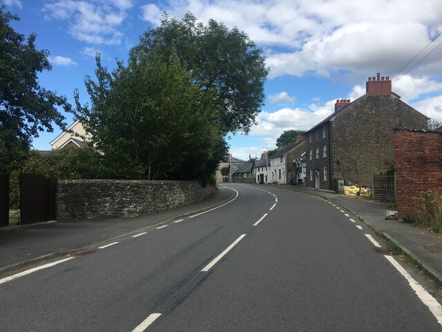
Allt-y-Main is a hamlet in the community of Meifod, Powys, Wales, which is 86 miles (139 km) from Cardiff and 156 miles (252 km) from London. == References... ==

Meifod

Meifod, formerly also written Meivod (), is a small village, community and electoral ward 7 miles north-west of Welshpool in Montgomeryshire, Powys, Wales...

Bwlch-y-cibau

Bwlch-y-Cibau also known as the "pass of the husks" in English, is a small village located between Llanfyllin and Welshpool. It is situated on the A490...
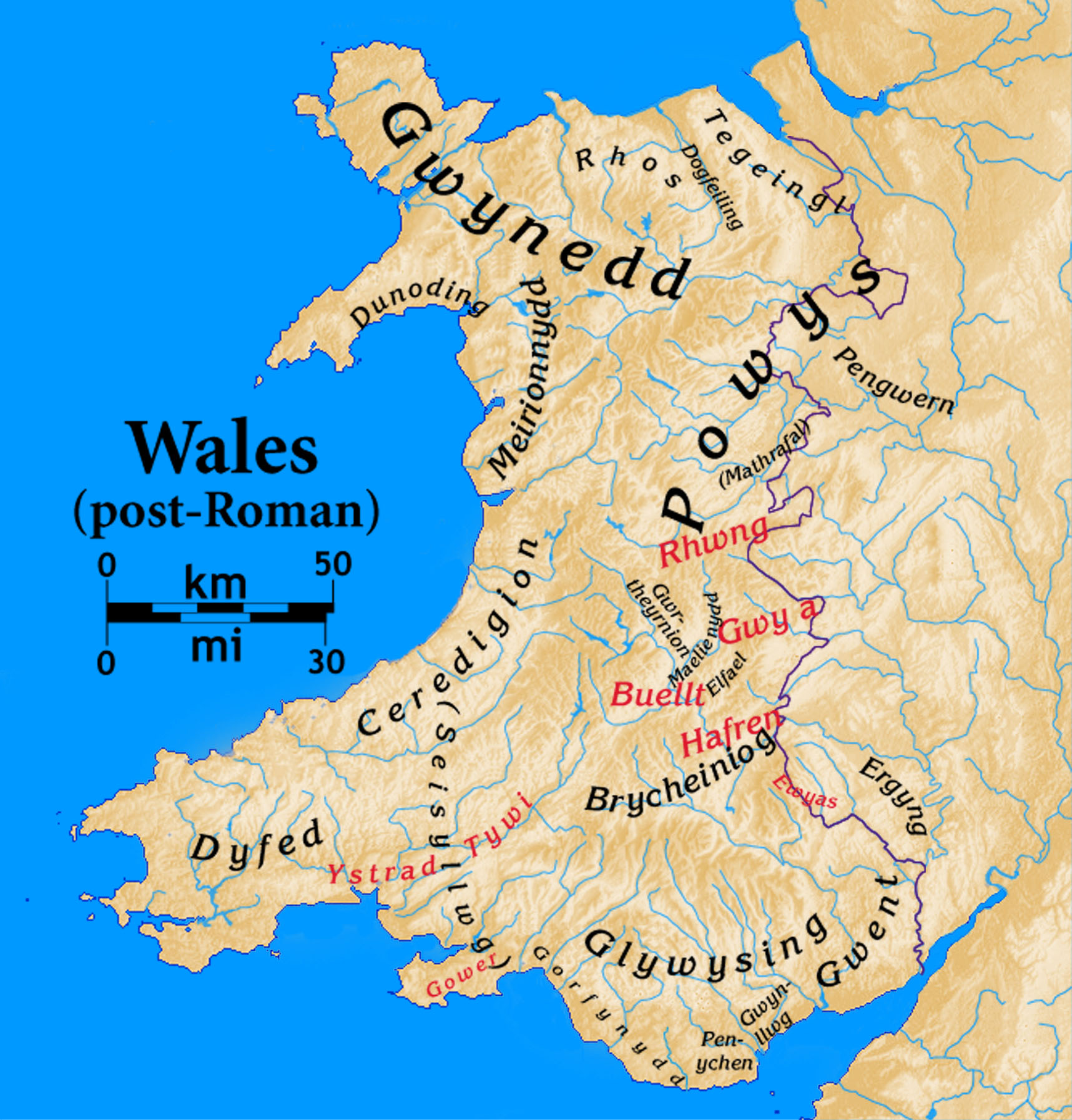
Dogfeiling

Dogfeiling was a minor sub-kingdom and later a commote in north Wales. It formed part of the eastern border of the Kingdom of Gwynedd in early medieval...

Nearby Amenities

Located within 500m of 52.727433,-3.2421681
Allt Y Main
Ele: 356
Natural: peak
Wikidata: Q13125464
Lat/Long: 52.7273988/-3.2422693
Allt-Y-Main
Description: OS trig pillar
Ele: 356.616
Man Made: survey_point
Ref: S4747
Source: Ordnance Survey and Trigpointing.uk
Survey Point: pillar
Tpuk Ref: TP0824
Lat/Long: 52.727433/-3.242168
The data included in this document is from www.openstreetmap.org. The data is made available under ODbL.

Have you been to Allt y Main?

Leave your review of Allt y Main below (or comments, questions and feedback).