Allt y Main
Wood, Forest in Montgomeryshire
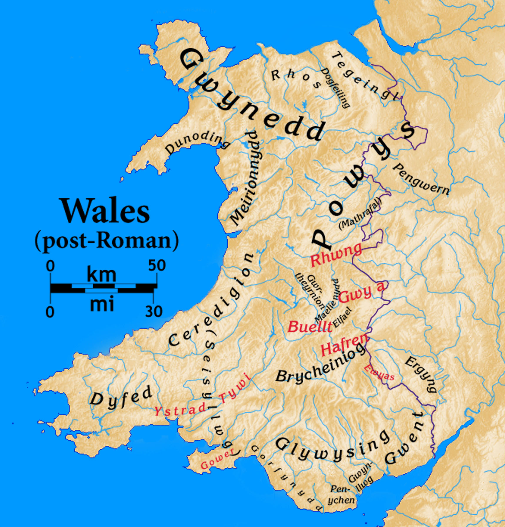
Wales
Allt y Main
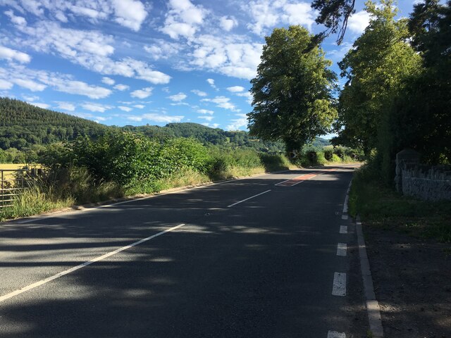
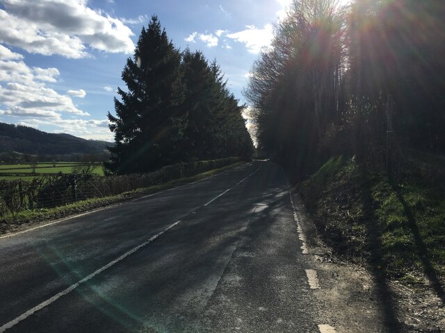
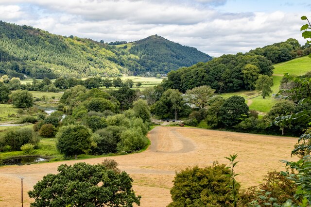
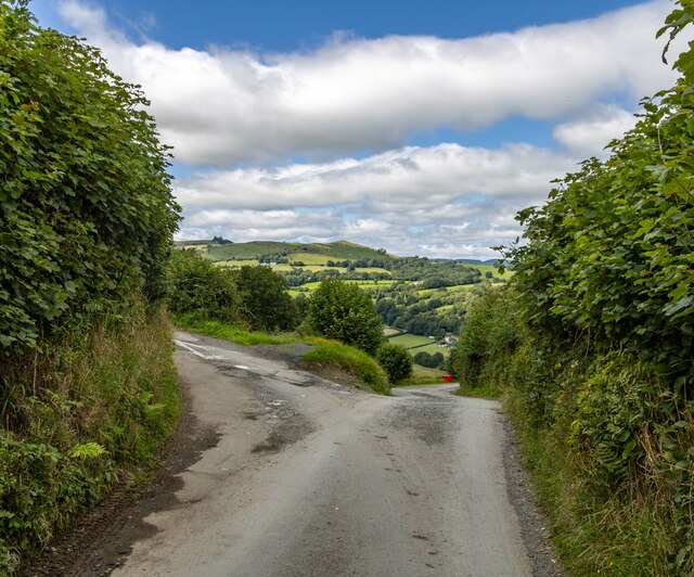
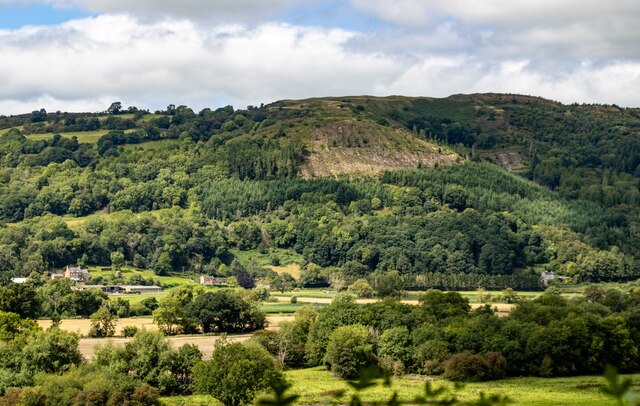
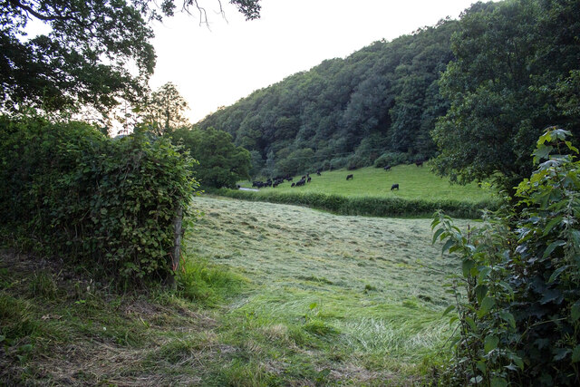
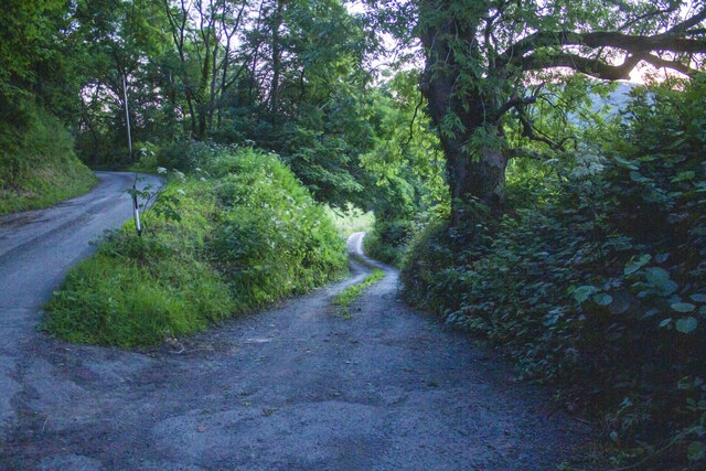
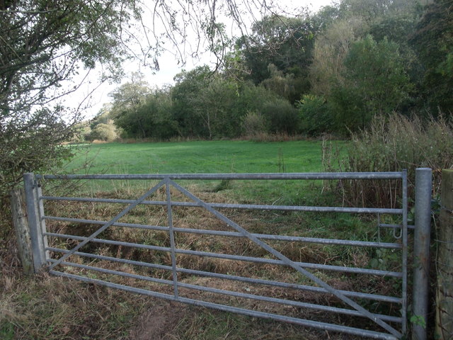
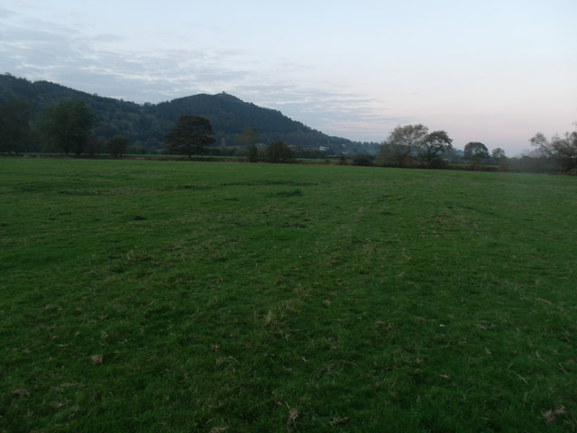
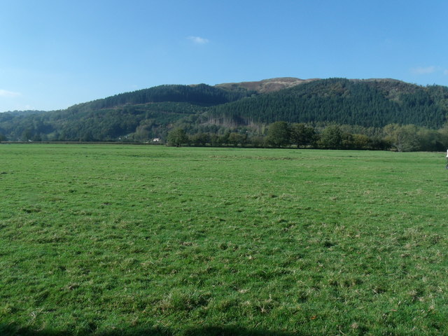
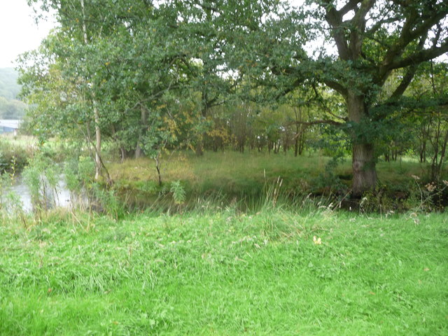
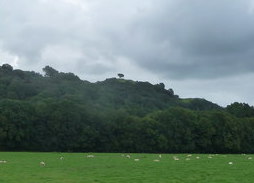
Allt y Main is a picturesque wood located in the county of Montgomeryshire, Wales. Situated near the village of Llandyssil, it covers an area of approximately 100 acres. The wood is known for its dense forest and stunning natural beauty, attracting nature enthusiasts and hikers throughout the year.
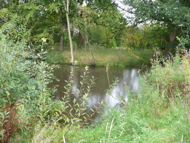
The wood is predominantly made up of a variety of deciduous trees, including oak, beech, and birch, which create a vibrant and colorful landscape, particularly during the autumn months. The canopy of the trees provides a sheltered habitat for a diverse range of flora and fauna, making it a haven for wildlife.
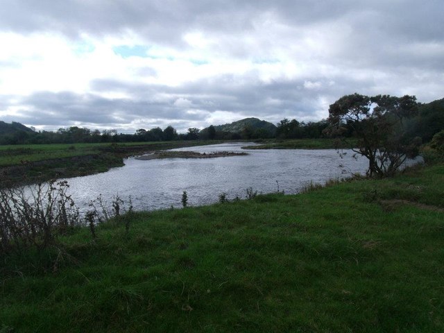
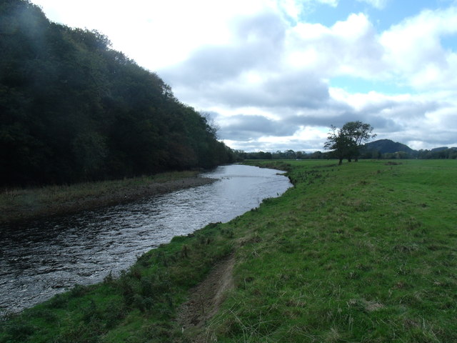
Tranquil streams and small waterfalls can be found meandering through the wood, adding to its enchanting atmosphere. There are also several walking trails that wind their way through the wood, allowing visitors to explore and enjoy its magnificence. These paths are well-maintained and suitable for all ages and abilities.
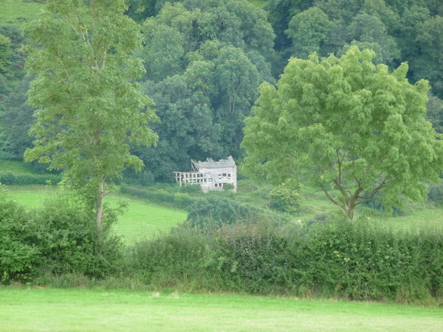
Allt y Main is not only a natural haven but also holds historical significance. The wood has remnants of an old ironworks, dating back to the 18th century, which adds an element of intrigue to the area. Visitors can explore the ruins and learn about the industrial heritage of the region.
Overall, Allt y Main is a captivating wood that offers a perfect blend of natural beauty and historical interest. With its lush vegetation, wildlife diversity, and walking trails, it is an idyllic destination for those seeking tranquility and a connection with nature.
If you have any feedback on the listing, please let us know in the comments section below.
Allt y Main Images
Images are sourced within 2km of 52.727102/-3.2386048 or Grid Reference SJ1615. Thanks to Geograph Open Source API. All images are credited.
Allt y Main is located at Grid Ref: SJ1615 (Lat: 52.727102, Lng: -3.2386048)
Unitary Authority: Powys
Police Authority: Dyfed Powys
What 3 Words
///skipped.slam.obscuring. Near Llanfyllin, Powys
Nearby Locations
Related Wikis

Allt-y-Main
Allt-y-Main is a hamlet in the community of Meifod, Powys, Wales, which is 86 miles (139 km) from Cardiff and 156 miles (252 km) from London. == References... ==

Meifod
Meifod, formerly also written Meivod (), is a small village, community and electoral ward 7 miles north-west of Welshpool in Montgomeryshire, Powys, Wales...
Bwlch-y-cibau
Bwlch-y-Cibau also known as the "pass of the husks" in English, is a small village located between Llanfyllin and Welshpool. It is situated on the A490...
Dogfeiling
Dogfeiling was a minor sub-kingdom and later a commote in north Wales. It formed part of the eastern border of the Kingdom of Gwynedd in early medieval...

Bryngwyn Halt railway station
Bryngwyn Halt railway station is a disused station that was on the Llanfyllin Branch of the Cambrian Railways. It served the villages of Bwlch-y-cibau...
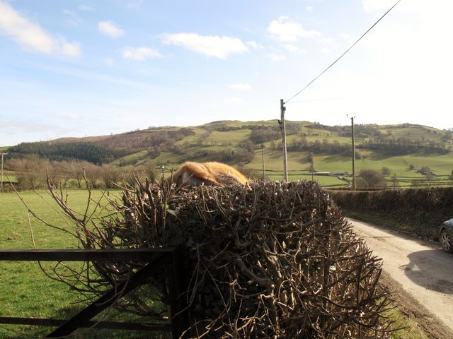
Lonely Tree
The Lonely Tree was a Scots pine on a hill near Llanfyllin, Powys, Wales. Visible from much of the town it was a local landmark with several traditions...

River Banwy
The River Banwy is a river about 19 miles (31 km) long in Powys, Wales. It is a tributary of the River Vyrnwy. The Banwy rises in the hills near the pass...

Llanfyllin railway station
Llanfyllin railway station is the former terminal station of the Llanfyllin Branch of Cambrian Railways, which served the town of Llanfyllin in Powys,...
Nearby Amenities
Located within 500m of 52.727102,-3.2386048Have you been to Allt y Main?
Leave your review of Allt y Main below (or comments, questions and feedback).