Hendre Coppice

Wood, Forest in Montgomeryshire

Wales

Hendre Coppice

Entrance to Twll From Pen-Llys road
Entrance to Twll Credit: John Firth

Hendre Coppice is a woodland located in Montgomeryshire, Wales. Covering an area of approximately 150 acres, it is a diverse and ecologically rich forest. The woodland is primarily composed of native trees such as oak, birch, and beech, as well as some coniferous species including pine and spruce.

Hendre Coppice is home to a variety of wildlife, including deer, squirrels, and a wide range of bird species. The forest provides important habitat and foraging grounds for these animals, contributing to the biodiversity of the area.

Visitors to Hendre Coppice can enjoy walking and hiking trails that wind through the forest, providing opportunities to observe and appreciate the natural beauty of the woodland. The peaceful and tranquil atmosphere of the forest makes it a popular destination for nature lovers and outdoor enthusiasts.

Overall, Hendre Coppice is a valuable natural resource in Montgomeryshire, providing habitat for wildlife, recreational opportunities for visitors, and contributing to the overall ecological health of the region.

If you have any feedback on the listing, please let us know in the comments section below.

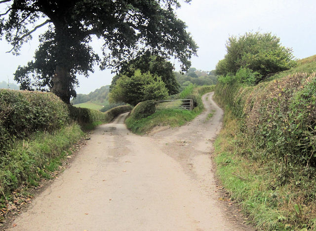
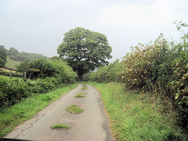
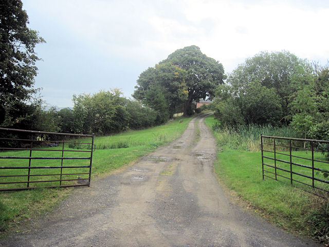
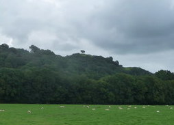
Hendre Coppice Images

Images are sourced within 2km of 52.775768/-3.2400159 or Grid Reference SJ1620. Thanks to Geograph Open Source API. All images are credited.

Entrance to Twll From Pen-Llys road
Entrance to Twll
From Pen-Llys road
Road junction at Wern-y-Glyn Viewed from road to Pen-Llys
Road junction at Wern-y-Glyn
Viewed from road to Pen-Llys
Road junction at Tan-y-Pistyll
Entrance to Tan-y-pistyll From Llanfyllin road
Entrance to Tan-y-pistyll
From Llanfyllin road
Sharp junction on Llanfyllin road
Llanfyllin road from Pendalog
Entrance to Garth-gell From Llanfyllin Road
Entrance to Garth-gell
From Llanfyllin Road
Bodynfoel Hall
Bodynfoel Hall
Field path near woods below Jericho Hill The footpath crosses lush upland pasture between woods here. Lovely views all around over the rolling countryside surrounding Llanfyllin. 

Jericho Hill wins my favourite hill name for the month of August 2012.
Field path near woods below Jericho Hill
The footpath crosses lush upland pasture between woods here. Lovely views all around over the rolling countryside surrounding Llanfyllin. Jericho Hill wins my favourite hill name for the month of August 2012.
Summer scene between Jericho Hill and Domen-gastell Hill Here it's hot and sunny, balmy and humid but off in the distance squalls and rain storms dispense their summer rain.
Summer scene between Jericho Hill and Domen-gastell Hill
Here it's hot and sunny, balmy and humid but off in the distance squalls and rain storms dispense their summer rain.
View to Cae-Dafydd from a byway below Domen-gastell Hill A fallen tree frames the old cottage across the cwm.
View to Cae-Dafydd from a byway below Domen-gastell Hill
A fallen tree frames the old cottage across the cwm.
Ordnance Survey Cut Mark This OS cut mark can be found on the west face of the old Bethesda Chapel. It marks a point 283.805m above mean sea level.
Ordnance Survey Cut Mark
This OS cut mark can be found on the west face of the old Bethesda Chapel. It marks a point 283.805m above mean sea level.
Road and former Bethseda Chapel in Bwlchyddar Looking north-eastward,
Road and former Bethseda Chapel in Bwlchyddar
Looking north-eastward,
Road near Hen Allt Looking westward.
Road near Hen Allt
Looking westward.
Country lane near Tan-y-graig Looking south-eastward.
Country lane near Tan-y-graig
Looking south-eastward.
Parting of the ways Fork junction close to Talwrn
Parting of the ways
Fork junction close to Talwrn
Minor road close to Pen-y-Parc
Entrance to Pen-y-Parc
Show me another place!

Hendre Coppice is located at Grid Ref: SJ1620 (Lat: 52.775768, Lng: -3.2400159)

Unitary Authority: Powys

Police Authority: Dyfed Powys

What 3 Words

///lighters.vibes.slides. Near Llanfechain, Powys

Related Wikis

Lonely Tree

The Lonely Tree was a Scots pine on a hill near Llanfyllin, Powys, Wales. Visible from much of the town it was a local landmark with several traditions...

Bryngwyn Halt railway station

Bryngwyn Halt railway station is a disused station that was on the Llanfyllin Branch of the Cambrian Railways. It served the villages of Bwlch-y-cibau...

Llanfyllin railway station

Llanfyllin railway station is the former terminal station of the Llanfyllin Branch of Cambrian Railways, which served the town of Llanfyllin in Powys,...

Llanfyllin

Llanfyllin (Welsh pronunciation: [ɬanˈvəɬɪn] – ) is a market town and community in Powys, Wales. The town population in 2021 was 1,586 and the town's...

Nearby Amenities

Located within 500m of 52.775768,-3.2400159
Llechwedd-Ddu
Addr Housename: Llechwedd-Ddu
Addr Postcode: SY22 5EU
Building: house
Lat/Long: 52.7802054/-3.2403276
Jericho Hill
Ele: 293
Natural: peak
Lat/Long: 52.7731819/-3.2425697
The data included in this document is from www.openstreetmap.org. The data is made available under ODbL.

Have you been to Hendre Coppice?

Leave your review of Hendre Coppice below (or comments, questions and feedback).