Coed Nant-yr-aber
Wood, Forest in Flintshire
Wales
Coed Nant-yr-aber
The requested URL returned error: 429 Too Many Requests
If you have any feedback on the listing, please let us know in the comments section below.
Coed Nant-yr-aber Images
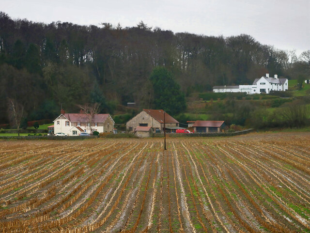
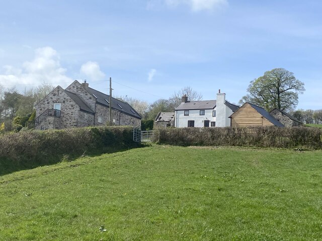
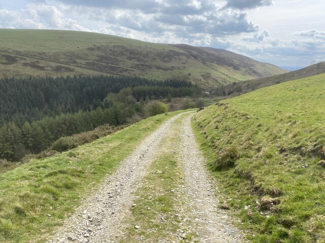
Images are sourced within 2km of 53.190764/-3.250194 or Grid Reference SJ1666. Thanks to Geograph Open Source API. All images are credited.


Coed Nant-yr-aber is located at Grid Ref: SJ1666 (Lat: 53.190764, Lng: -3.250194)
Unitary Authority: Flintshire
Police Authority: North Wales
What 3 Words
///ally.abolish.thighs. Near Halkyn, Flintshire
Nearby Locations
Related Wikis

Clwydian Range
The Clwydian Range (Welsh: Bryniau Clwyd; also known as the Clwydian Hills; or simply the Clwyds) is a series of hills in the north-east of Wales that...

Star Crossing Halt railway station
Star Crossing Halt railway station was a station between Nannerch and Cilcain, Flintshire, Wales. The station was opened on 2 November 1914 and closed...
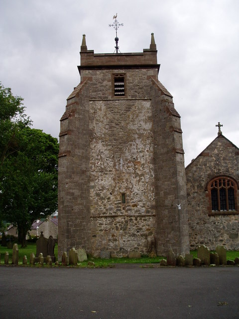
St Mary's Church, Cilcain
St Mary's Church, Cilcain, is in the village of Cilcain, Flintshire, Wales. It is an active Anglican church in the Bro Famau group of parishes, in the...

Moel Arthur
Moel Arthur ("Arthur's Hill") is an Iron Age hillfort in Flintshire, Wales, at the boundary with Denbighshire, about 5 miles (8.0 km) east of Denbigh....
Have you been to Coed Nant-yr-aber?
Leave your review of Coed Nant-yr-aber below (or comments, questions and feedback).