Coed Margaret-Shon
Wood, Forest in Monmouthshire
Wales
Coed Margaret-Shon

Coed Margaret-Shon is a woodland area located in Monmouthshire, Wales. Covering an area of approximately 200 acres, it is situated just north of the village of Wood, Forest. This wooded landscape is characterized by a diverse range of tree species, including oak, beech, ash, and birch, creating a picturesque and vibrant environment.
The woodland is managed by the local forestry commission, which ensures its conservation and preservation for both ecological and recreational purposes. Coed Margaret-Shon offers a variety of walking trails, providing visitors with the opportunity to explore and appreciate the natural beauty of the area. These trails meander through the dense forest, offering glimpses of wildlife such as deer, squirrels, and various bird species.
The woodland is also home to a rich and diverse ecosystem, with a variety of plant and animal species. Bluebells, foxgloves, and wood anemones are just a few of the wildflowers that bloom in the spring, painting the forest floor with vibrant colors. In addition, the woods provide a habitat for a range of bird species, including owls, woodpeckers, and songbirds.
Coed Margaret-Shon is a popular destination for nature lovers, walkers, and photographers who seek tranquility and natural beauty. The peaceful atmosphere, combined with the stunning scenery, makes it an ideal place for individuals to escape the hustle and bustle of daily life and immerse themselves in the wonders of nature.
If you have any feedback on the listing, please let us know in the comments section below.
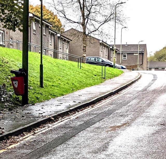
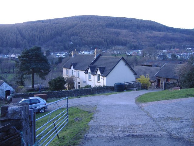
Coed Margaret-Shon Images
Images are sourced within 2km of 51.615407/-3.2170703 or Grid Reference ST1591. Thanks to Geograph Open Source API. All images are credited.


Coed Margaret-Shon is located at Grid Ref: ST1591 (Lat: 51.615407, Lng: -3.2170703)
Unitary Authority: Caerphilly
Police Authority: Gwent
What 3 Words
///runs.paces.voter. Near Llanbradach, Caerphilly
Nearby Locations
Related Wikis

District of Rhymney Valley
Rhymney Valley (Welsh: Cwm Rhymni) was one of six local government districts in Mid Glamorgan from 1974 to 1996. == History == The district was formed...

Llanbradach and Pwllypant
Llanbradach and Pwllypant is a community in the county of Caerphilly, South Wales. It includes the large village of Llanbradach and Pwll-y-Pant. It has...
Llanbradach
Llanbradach is a village within the historic boundaries of Glamorgan, South Wales less than three miles (five kilometres) north of the town of Caerphilly...
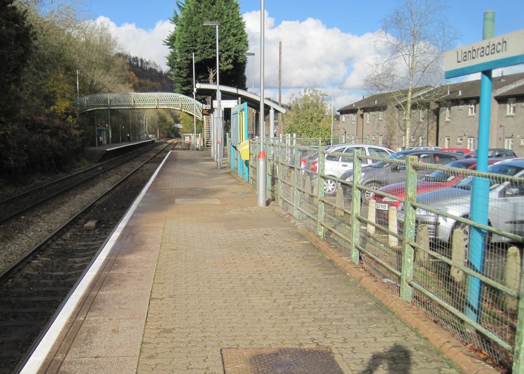
Llanbradach railway station
Llanbradach railway station is a railway station serving the village of Llanbradach, south Wales. It is a stop on the Rhymney Line of the Valley Lines...
Mynydd y Grug
Mynydd y Grug is a hill lying just west of the village of Cwmfelinfach and about 4 km to the northeast of Caerphilly in Caerphilly county borough in South...
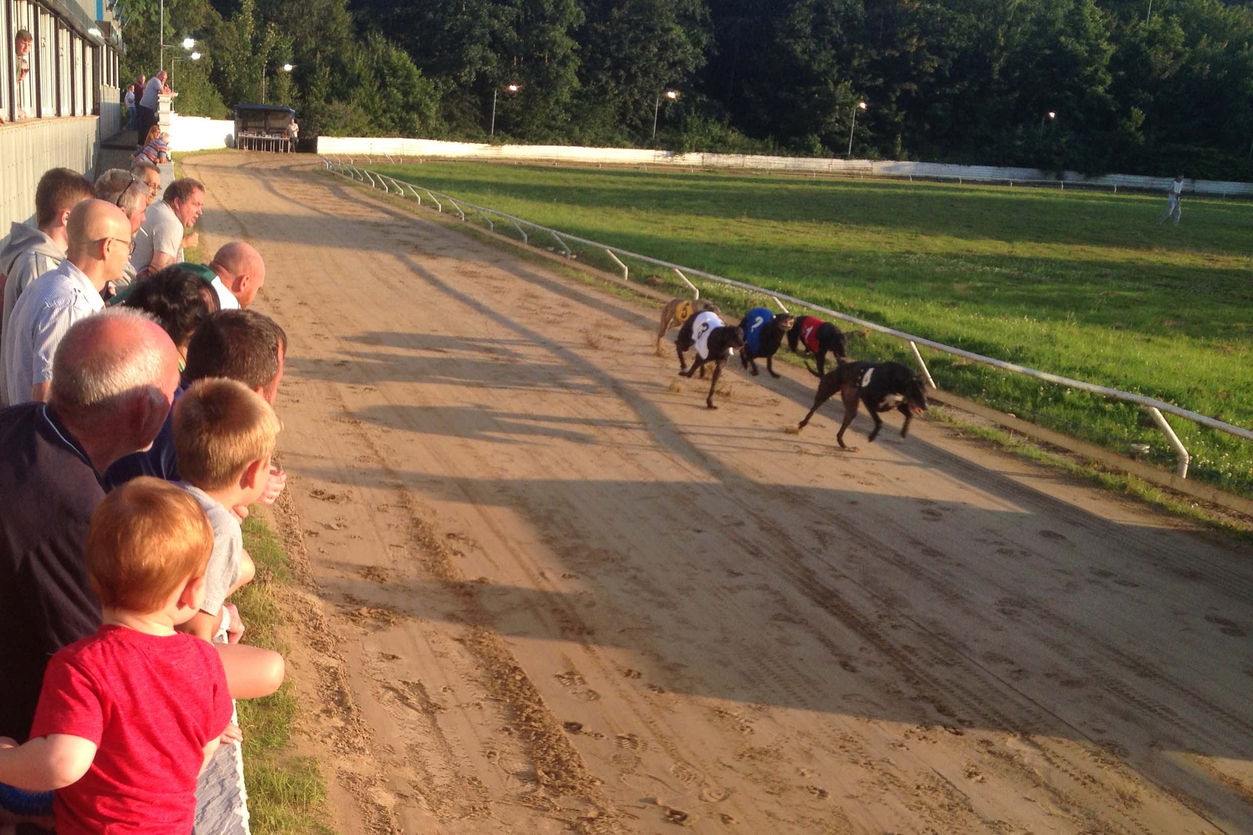
Valley Greyhound Stadium
The Valley Greyhound Stadium is a greyhound racing stadium in Twyn Road, Ystrad Mynach, Hengoed, Wales. In 2023, the stadium became affiliated to the Greyhound...
Ynysddu railway station
Ynysddu railway station served the village of Ynysddu, in the historical county of Monmouthshire, Wales, from 1871 to 1960 on the Sirhowy Railway. ��2...

Ysbyty Ystrad Fawr
Ysbyty Ystrad Fawr (English: Large Vale Hospital) is a community hospital at Ystrad Mynach in Caerphilly County Borough in Wales. It is managed by Aneurin...
Nearby Amenities
Located within 500m of 51.615407,-3.2170703Have you been to Coed Margaret-Shon?
Leave your review of Coed Margaret-Shon below (or comments, questions and feedback).