Coed Ffos-yr-hebog
Wood, Forest in Monmouthshire
Wales
Coed Ffos-yr-hebog

Coed Ffos-yr-hebog, located in Monmouthshire, Wales, is a dense wood or forest that covers a significant area of land. Situated in the southeastern part of the country, this woodland is a popular destination for nature enthusiasts and hikers who seek tranquility and natural beauty.
With an approximate area of several square kilometers, Coed Ffos-yr-hebog boasts a diverse range of flora and fauna. The woodland is characterized by its dense tree canopy, which consists of various species including oak, beech, and birch trees. These trees provide a habitat for numerous bird species such as woodpeckers, owls, and thrushes, making it a haven for birdwatchers.
The forest floor is covered with a thick layer of moss, ferns, and wildflowers, adding to the enchanting atmosphere of Coed Ffos-yr-hebog. Visitors can discover a variety of plants, including bluebells, primroses, and foxgloves, depending on the season.
Trails and footpaths wind through the woodland, offering visitors the opportunity to explore the area on foot. These paths vary in difficulty, catering to both casual strollers and experienced hikers. Along the way, visitors may encounter small streams or even a picturesque waterfall, adding to the charm of the landscape.
Coed Ffos-yr-hebog is a designated nature reserve, ensuring the preservation of its natural beauty and biodiversity. It serves as an important habitat for numerous wildlife species, from small mammals like squirrels and rabbits to larger creatures like deer and badgers.
Overall, Coed Ffos-yr-hebog is a stunning woodland retreat that offers a peaceful escape from the hustle and bustle of daily life. Its rich biodiversity, scenic trails, and serene atmosphere make it a must-visit destination for nature lovers and outdoor enthusiasts.
If you have any feedback on the listing, please let us know in the comments section below.
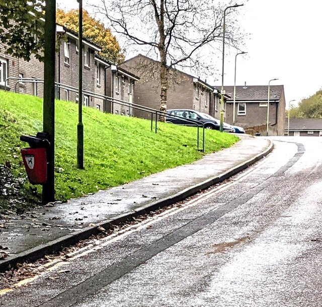
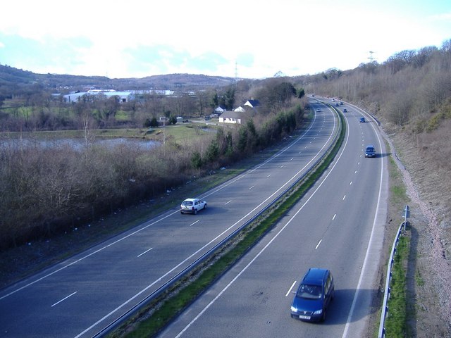
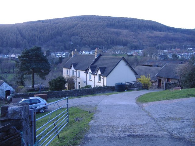
Coed Ffos-yr-hebog Images
Images are sourced within 2km of 51.619201/-3.2188763 or Grid Reference ST1591. Thanks to Geograph Open Source API. All images are credited.


Coed Ffos-yr-hebog is located at Grid Ref: ST1591 (Lat: 51.619201, Lng: -3.2188763)
Unitary Authority: Caerphilly
Police Authority: Gwent
What 3 Words
///inner.beakers.inert. Near Llanbradach, Caerphilly
Nearby Locations
Related Wikis

District of Rhymney Valley
Rhymney Valley (Welsh: Cwm Rhymni) was one of six local government districts in Mid Glamorgan from 1974 to 1996. == History == The district was formed...

Llanbradach and Pwllypant
Llanbradach and Pwllypant is a community in the county of Caerphilly, South Wales. It includes the large village of Llanbradach and Pwll-y-Pant. It has...

Valley Greyhound Stadium
The Valley Greyhound Stadium is a greyhound racing stadium in Twyn Road, Ystrad Mynach, Hengoed, Wales. In 2023, the stadium became affiliated to the Greyhound...

Ysbyty Ystrad Fawr
Ysbyty Ystrad Fawr (English: Large Vale Hospital) is a community hospital at Ystrad Mynach in Caerphilly County Borough in Wales. It is managed by Aneurin...
A469 road
The A469 is a road in south Wales. It links Cardiff and Caerphilly with Rhymney and the Heads of the Valleys Road (A465). == See also == Transport in...
Llanbradach
Llanbradach is a village within the historic boundaries of Glamorgan, South Wales less than three miles (five kilometres) north of the town of Caerphilly...
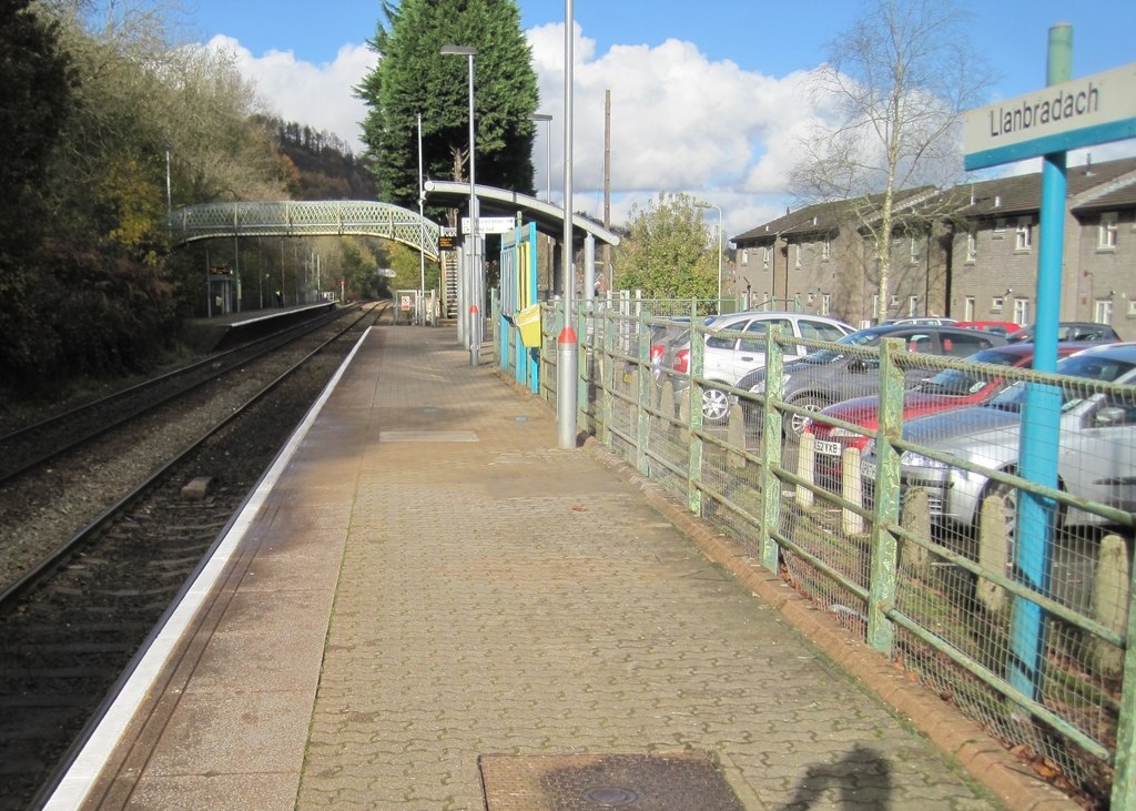
Llanbradach railway station
Llanbradach railway station is a railway station serving the village of Llanbradach, south Wales. It is a stop on the Rhymney Line of the Valley Lines...
Ystrad Mynach Hospital
Ystrad Mynach Hospital (Welsh: Ysbyty Ystrad Mynach) was a community hospital in Ystrad Mynach, Wales. It was managed by Aneurin Bevan Local Health Board...
Nearby Amenities
Located within 500m of 51.619201,-3.2188763Have you been to Coed Ffos-yr-hebog?
Leave your review of Coed Ffos-yr-hebog below (or comments, questions and feedback).