Coed Ochr-ddu
Wood, Forest in Monmouthshire
Wales
Coed Ochr-ddu
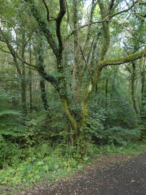
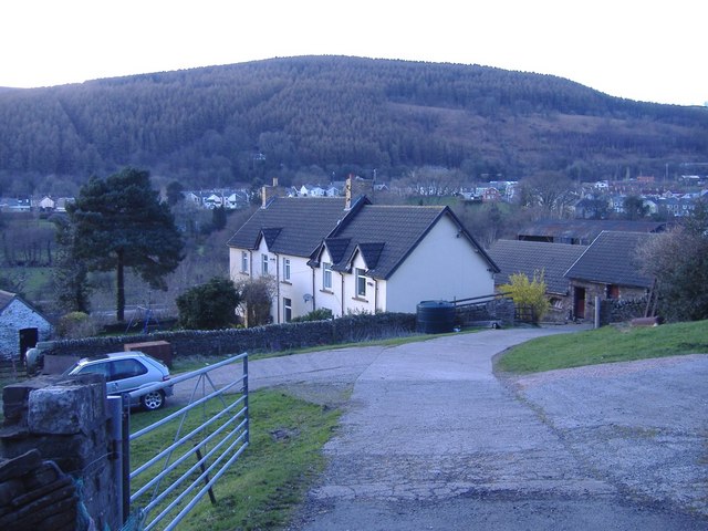
Coed Ochr-ddu, located in Monmouthshire, Wales, is a captivating woodland area known for its natural beauty and rich biodiversity. Covering an approximate area of 80 hectares, this ancient forest offers a tranquil and enchanting retreat for nature enthusiasts and hikers alike.
The woodland is characterized by a diverse mix of tree species, including oak, beech, ash, and birch, which create a stunning tapestry of colors throughout the seasons. The forest floor is adorned with a myriad of wildflowers, such as bluebells, primroses, and wood anemones, providing a picturesque setting for visitors.
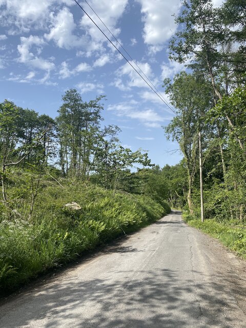
Coed Ochr-ddu is crisscrossed by numerous walking trails, allowing visitors to explore its hidden corners and discover its hidden treasures. These paths lead to breathtaking viewpoints, where one can admire the scenic vistas of the surrounding countryside, including the nearby River Wye.
Due to its varied habitats, the woodland is home to a wide array of wildlife species. Birdwatchers can spot a diverse range of avian species, including woodpeckers, warblers, and finches. Meanwhile, mammals such as badgers, foxes, and deer roam through the forest, adding to its wild allure.
Managed by local conservation organizations, Coed Ochr-ddu is dedicated to preserving its natural heritage and promoting sustainable practices. Educational programs and guided walks are organized regularly, allowing visitors to learn about the forest's ecology and the importance of its conservation.
Overall, Coed Ochr-ddu is a hidden gem in Monmouthshire, offering a peaceful retreat where visitors can immerse themselves in nature's wonders and experience the tranquility of a true woodland haven.
If you have any feedback on the listing, please let us know in the comments section below.
Coed Ochr-ddu Images
Images are sourced within 2km of 51.620044/-3.2156199 or Grid Reference ST1591. Thanks to Geograph Open Source API. All images are credited.


Coed Ochr-ddu is located at Grid Ref: ST1591 (Lat: 51.620044, Lng: -3.2156199)
Unitary Authority: Caerphilly
Police Authority: Gwent
What 3 Words
///eaten.inflame.originate. Near Llanbradach, Caerphilly
Nearby Locations
Related Wikis

District of Rhymney Valley
Rhymney Valley (Welsh: Cwm Rhymni) was one of six local government districts in Mid Glamorgan from 1974 to 1996. == History == The district was formed...

Llanbradach and Pwllypant
Llanbradach and Pwllypant is a community in the county of Caerphilly, South Wales. It includes the large village of Llanbradach and Pwll-y-Pant. It has...
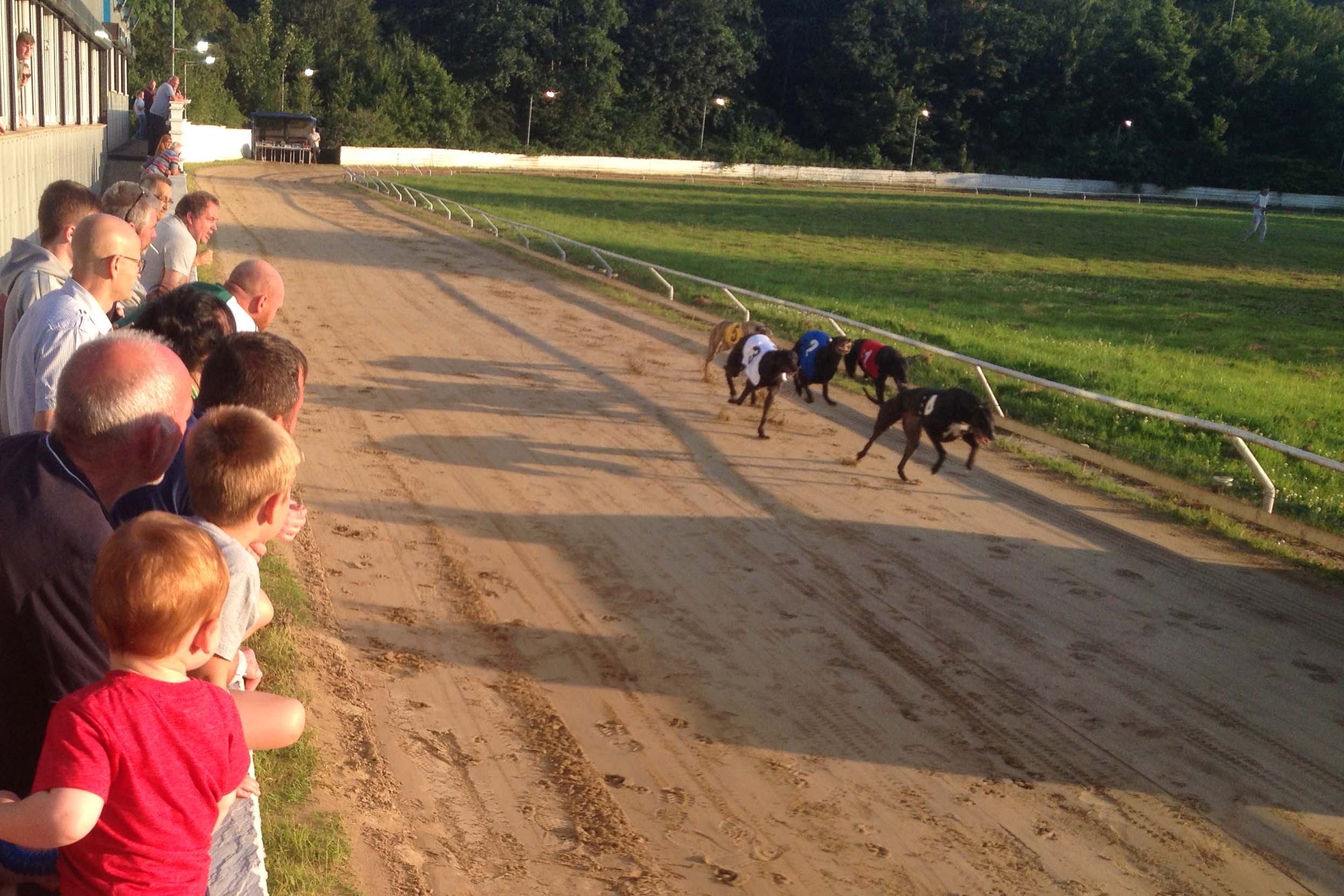
Valley Greyhound Stadium
The Valley Greyhound Stadium is a greyhound racing stadium in Twyn Road, Ystrad Mynach, Hengoed, Wales. In 2023, the stadium became affiliated to the Greyhound...
Ynysddu railway station
Ynysddu railway station served the village of Ynysddu, in the historical county of Monmouthshire, Wales, from 1871 to 1960 on the Sirhowy Railway. ��2...

Ysbyty Ystrad Fawr
Ysbyty Ystrad Fawr (English: Large Vale Hospital) is a community hospital at Ystrad Mynach in Caerphilly County Borough in Wales. It is managed by Aneurin...
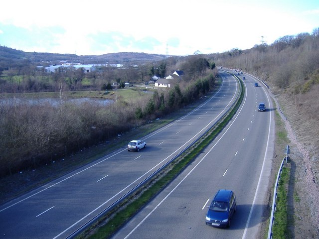
A469 road
The A469 is a road in south Wales. It links Cardiff and Caerphilly with Rhymney and the Heads of the Valleys Road (A465). == See also == Transport in...
Llanbradach
Llanbradach is a village within the historic boundaries of Glamorgan, South Wales less than three miles (five kilometres) north of the town of Caerphilly...
Mynydd y Grug
Mynydd y Grug is a hill lying just west of the village of Cwmfelinfach and about 4 km to the northeast of Caerphilly in Caerphilly county borough in South...
Nearby Amenities
Located within 500m of 51.620044,-3.2156199Have you been to Coed Ochr-ddu?
Leave your review of Coed Ochr-ddu below (or comments, questions and feedback).