Backside Wood
Wood, Forest in Radnorshire
Wales
Backside Wood

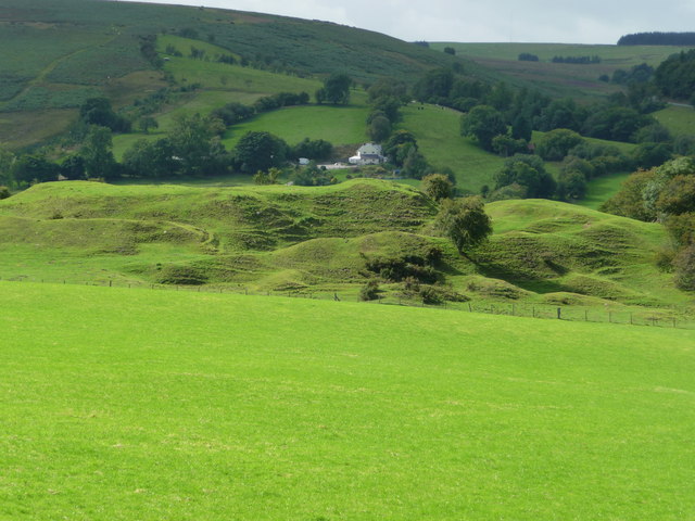
Backside Wood is a picturesque forest located in the county of Radnorshire, Wales. Nestled amongst the rolling hills and verdant landscapes, this woodland is a true haven for nature lovers and outdoor enthusiasts. Covering an area of approximately 100 acres, Backside Wood offers a diverse range of flora and fauna, making it a significant ecological site.
The woodland is predominantly composed of deciduous trees, including oak, beech, and birch, which create a dense canopy that provides shelter and shade to numerous wildlife species. The forest floor is adorned with a rich carpet of wildflowers, such as bluebells and primroses, which bloom in spring and add a splash of color to the surroundings.
Walking through the wood, visitors can explore a network of well-maintained trails that meander through the forest. These paths offer breathtaking views of the surrounding countryside and lead to hidden gems, including a tranquil stream that adds a sense of serenity to the area.
Backside Wood is also home to a diverse array of wildlife. Bird enthusiasts can spot a variety of species, including woodpeckers, thrushes, and owls, while small mammals like squirrels, foxes, and rabbits can be seen darting through the underbrush. The forest is also home to a population of elusive deer, which can occasionally be spotted grazing in the early morning or late evening.
Overall, Backside Wood in Radnorshire is a captivating natural retreat that offers a serene escape from the bustling modern world. Its scenic beauty and abundant wildlife make it a must-visit destination for those seeking tranquility and a deeper connection with nature.
If you have any feedback on the listing, please let us know in the comments section below.
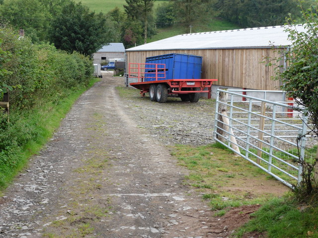
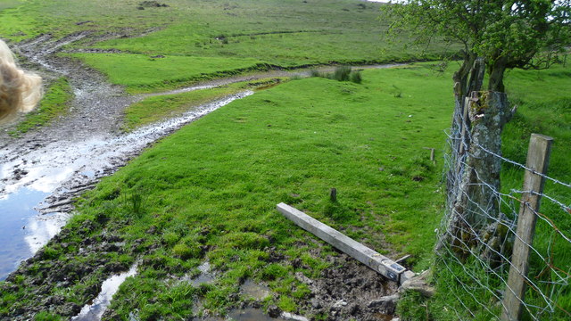
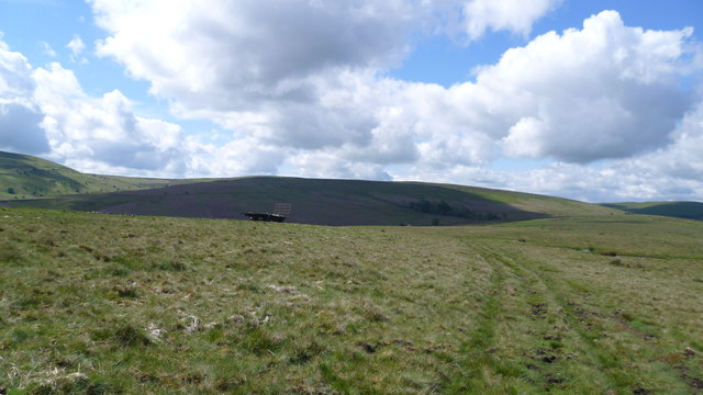
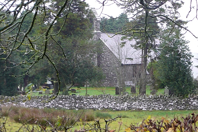
Backside Wood Images
Images are sourced within 2km of 52.408642/-3.2388506 or Grid Reference SO1579. Thanks to Geograph Open Source API. All images are credited.


Backside Wood is located at Grid Ref: SO1579 (Lat: 52.408642, Lng: -3.2388506)
Unitary Authority: Powys
Police Authority: Dyfed Powys
What 3 Words
///qualifier.upwardly.bleach. Near Mochdre, Powys
Nearby Locations
Related Wikis

East Wales
East Wales (Welsh: Dwyrain Cymru) is either a ITL 3 statistical region of Wales or generally a region encompassing the easternmost parts of the country...
Beacon Hill, Powys
Beacon Hill (Welsh: Mynydd Disglair) is a hill in the county of Radnorshire, Wales. It lies within the Powys unitary council area. It is located north...
Beguildy
Beguildy (Welsh: Bugeildy) is a village and community in Powys, Wales. It lies in a remote tract of countryside, 8 miles (13 km) northwest of Knighton...
Bettws-y-Crwyn
Bettws-y-Crwyn (Welsh: Betws-y-crwyn / Betwsycrowyn) is a small, remote village and civil parish in south-west Shropshire, England. It is close to the...
Bryn Amlwg Castle
Bryn Amlwg Castle (Welsh: Castell Bryn Amlwg, lit. 'castle on a prominent hill') was an enclosure castle near Anchor, Shropshire, abutting the England...
Quabbs
Quabbs is a small, scattered hamlet in the southwest of Shropshire, near the border between England and Wales. The name, which also occurs in Gloucestershire...

Anchor, Shropshire
Anchor is a remote hamlet in southwest Shropshire, England. The hamlet is the most westerly place in Shropshire. == Geography == Anchor lies only 400 metres...

Llanbadarn Fynydd
Llanbadarn Fynydd (meaning Church of Padarn in the mountain) is a village and community in Radnorshire, Powys, Wales, and is 63 miles (101 km) from Cardiff...
Nearby Amenities
Located within 500m of 52.408642,-3.2388506Have you been to Backside Wood?
Leave your review of Backside Wood below (or comments, questions and feedback).