Coed Jocelyn

Wood, Forest in Flintshire

Wales

Coed Jocelyn

St Michael's Church, Caerwys
St Michael's Church, Caerwys Credit: Chris Andrews

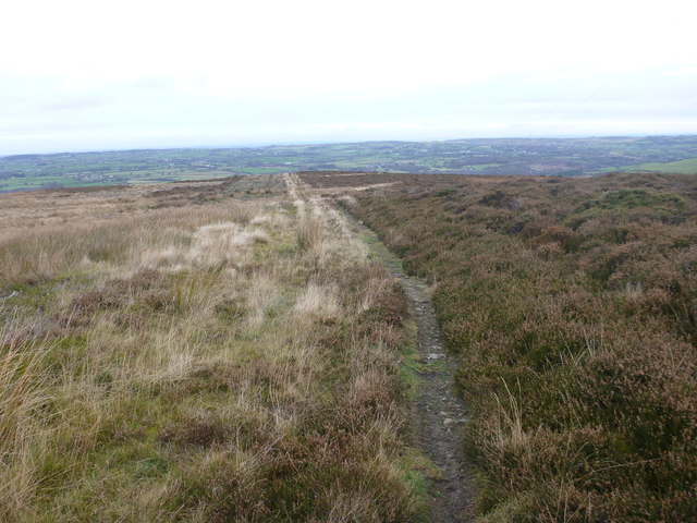
Coed Jocelyn is a picturesque woodland located in the county of Flintshire, in northeast Wales. Nestled amidst the rolling hills and valleys, this forested area covers a vast expanse of approximately 200 acres, providing a serene and natural retreat for visitors.

The woodland is primarily composed of a variety of deciduous and coniferous trees, creating a beautiful tapestry of colors throughout the year. Visitors can expect to see majestic oak, beech, and birch trees, among others, providing a rich habitat for a diverse range of flora and fauna.

Coed Jocelyn offers a network of well-maintained trails, allowing visitors to explore the forest at their own pace. The trails wind through the verdant undergrowth, leading visitors to hidden gems such as tranquil streams, small waterfalls, and idyllic picnic spots. Nature enthusiasts will delight in the abundance of wildlife that calls Coed Jocelyn home, including deer, foxes, badgers, and a myriad of bird species.

The forest is also a popular destination for outdoor activities such as hiking, cycling, and horseback riding. The well-marked trails cater to all levels of fitness and experience, making it accessible to both beginners and seasoned adventurers. Additionally, designated picnic areas and benches provide opportunities for visitors to relax and soak in the peaceful ambiance of the woodland.

Coed Jocelyn is a cherished natural gem, offering a respite from the hustle and bustle of everyday life. Its lush vegetation, diverse wildlife, and tranquil atmosphere make it a must-visit destination for nature lovers and those seeking a brief escape into the beauty of the Welsh countryside.

If you have any feedback on the listing, please let us know in the comments section below.
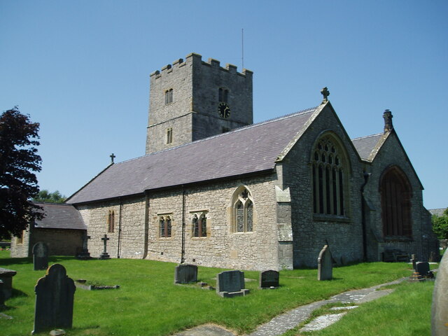
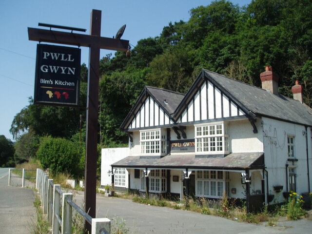
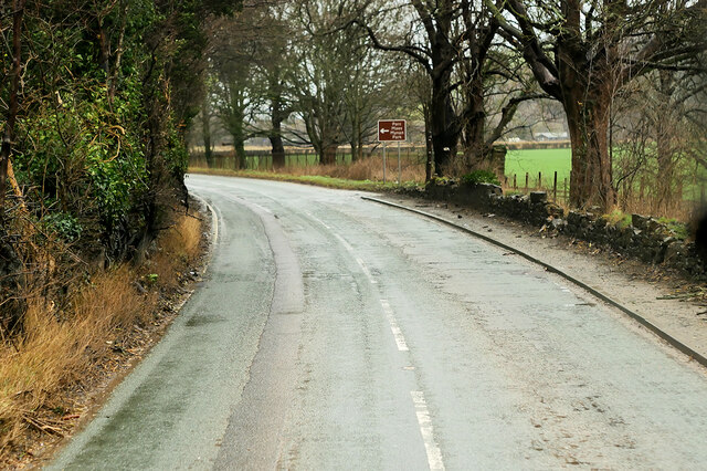
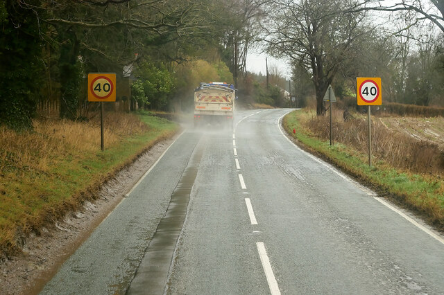
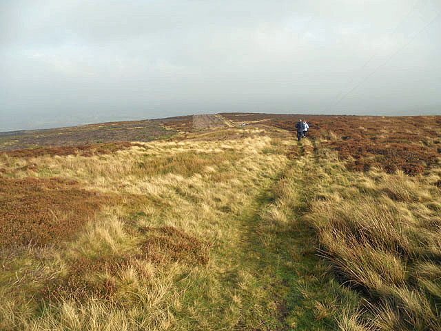
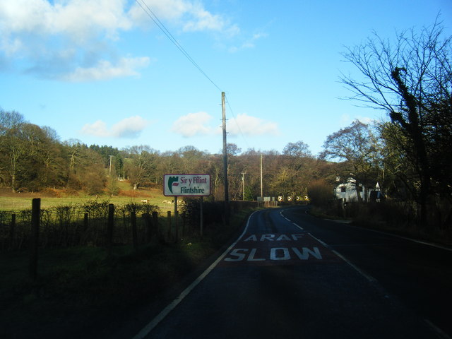
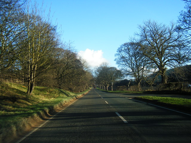
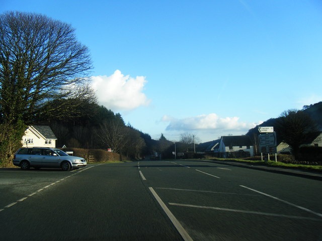
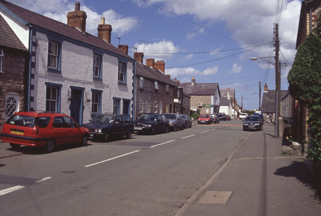
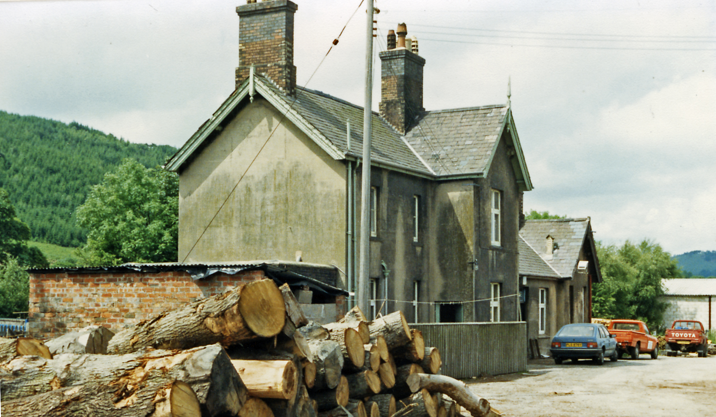
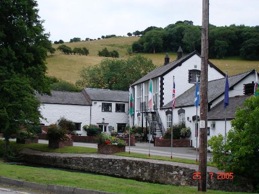
Coed Jocelyn Images

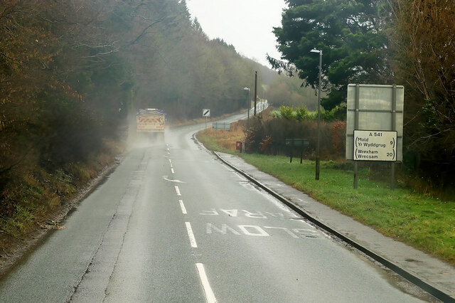
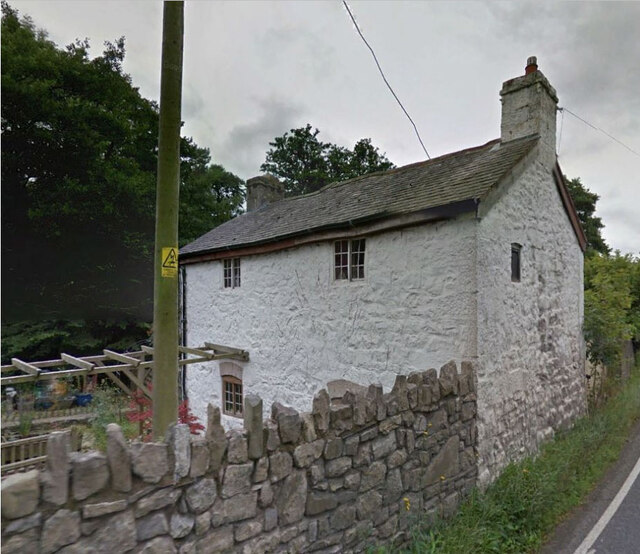
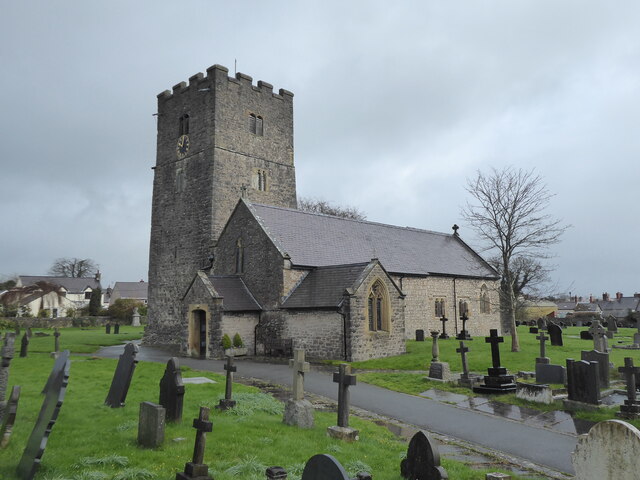
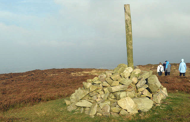
Images are sourced within 2km of 53.229239/-3.3071935 or Grid Reference SJ1271. Thanks to Geograph Open Source API. All images are credited.

St Michael's Church, Caerwys
Pwll Gwyn, Afon-wen
Pwll Gwyn, Afon-wen
A541 near Maes-Mynan Park The A541 runs for 26 miles, linking St Asaph with Wrexham. Its northern end starts at the crossroads in the middle of the village of Trefnant (just south of St Asaph). It ends at Wrexham, where it joins the B5101 road. On the way, it passes the town of Mold and also passes through many villages.
A541 near Maes-Mynan Park
The A541 runs for 26 miles, linking St Asaph with Wrexham. Its northern end starts at the crossroads in the middle of the village of Trefnant (just south of St Asaph). It ends at Wrexham, where it joins the B5101 road. On the way, it passes the town of Mold and also passes through many villages.
A541 approaching Afon-Wen The A541 runs for 26 miles, linking St Asaph with Wrexham. Its northern end starts at the crossroads in the middle of the village of Trefnant (just south of St Asaph). It ends at Wrexham, where it joins the B5101 road. On the way, it passes the town of Mold and also passes through many villages.
A541 approaching Afon-Wen
The A541 runs for 26 miles, linking St Asaph with Wrexham. Its northern end starts at the crossroads in the middle of the village of Trefnant (just south of St Asaph). It ends at Wrexham, where it joins the B5101 road. On the way, it passes the town of Mold and also passes through many villages.
A541 at Afonwen Afonwen is a small village in Flintshire. It is situated on the A541 Mold-Denbigh road.
A541 at Afonwen
Afonwen is a small village in Flintshire. It is situated on the A541 Mold-Denbigh road.
Truck on the A541 DG Roberts' Volvo FM (SA13 DAY) passing a layby on the A541 near to Ysceifiog.
Truck on the A541
DG Roberts' Volvo FM (SA13 DAY) passing a layby on the A541 near to Ysceifiog.
Afonwen, Denbigh Road (A541) The A541 runs for 26 miles, linking St Asaph with Wrexham. Its northern end starts at the crossroads in the middle of the village of Trefnant (just south of St Asaph). It ends at Wrexham, where it joins the B5101 road. On the way, it passes the town of Mold and also passes through many villages.
Afonwen, Denbigh Road (A541)
The A541 runs for 26 miles, linking St Asaph with Wrexham. Its northern end starts at the crossroads in the middle of the village of Trefnant (just south of St Asaph). It ends at Wrexham, where it joins the B5101 road. On the way, it passes the town of Mold and also passes through many villages.
Formr Toll House, Caerwys On the south side of the A451, now called Baw Bee Cottage. Of the Pwll Budr
 style or toll houses, in the parish of Bodfari.

Milestone Society National ID: FLT.BOD
Formr Toll House, Caerwys
On the south side of the A451, now called Baw Bee Cottage. Of the Pwll Budr style or toll houses, in the parish of Bodfari. Milestone Society National ID: FLT.BOD
Caerwys, St Michael
Caerwys, St Michael
Cairn on Moel y Parc
Wild and windy
Wild and windy
Flintshire boundary sign on the A541
A541 near Afonwen
A541 near Afonwen
A541 at  Afonwen
A541 at Afonwen
A541 looking east
A541 looking east
Former Caerwys station, 1986 View westward, towards Denbigh: ex-LNW Chester - Mold - Denbigh line, closed 30/4/62. It seems that the new owners may have been timber-merchants.
Former Caerwys station, 1986
View westward, towards Denbigh: ex-LNW Chester - Mold - Denbigh line, closed 30/4/62. It seems that the new owners may have been timber-merchants.
South Street, Caerwys Although only really a village, Caerwys proudly claims itself to be the smallest town in Great Britain with a royal charter - and indeed it does have a town council and its own mayor.
South Street, Caerwys
Although only really a village, Caerwys proudly claims itself to be the smallest town in Great Britain with a royal charter - and indeed it does have a town council and its own mayor.
Footpath to Afon Wen On Access Land northeast of Moel y Parc, there are a plethora of footpaths, some far better-defined than others. This is the main one heading from the summit, across the moor and eventually down to Afon Wen. Not far beyond the limit of vision in this photo, the path meets the access land boundary on the right, where a part of it turns right and becomes not just a footpath but a public footpath, ie. a right of way under the 1949 Countryside Act, rather than the more recent CROW act which established the right to roam across the summit area.
Footpath to Afon Wen
On Access Land northeast of Moel y Parc, there are a plethora of footpaths, some far better-defined than others. This is the main one heading from the summit, across the moor and eventually down to Afon Wen. Not far beyond the limit of vision in this photo, the path meets the access land boundary on the right, where a part of it turns right and becomes not just a footpath but a public footpath, ie. a right of way under the 1949 Countryside Act, rather than the more recent CROW act which established the right to roam across the summit area.
Show me another place!

Coed Jocelyn is located at Grid Ref: SJ1271 (Lat: 53.229239, Lng: -3.3071935)

Unitary Authority: Flintshire

Police Authority: North Wales

What 3 Words

///exile.masterful.backs. Near Whitford, Flintshire

Related Wikis

Caerwys railway station

Caerwys railway station was a station in Afonwen, Flintshire, Wales. The station was named for nearby Caerwys, opened on 6 September 1869 and closed on...

Afonwen

Afonwen ([ˌavɔnˈwɛn]; Welsh: Afon-wen) is a village in Flintshire, Wales. It is situated just under four miles from the A55 North Wales Expressway and...

Caerwys Tufa

Caerwys Tufa is a Site of Special Scientific Interest in the preserved county of Clwyd, north Wales. Tufa, a very soft limestone that was once used to...

Moel-y-Parc transmitting station

The Moel-y-Parc transmitting station is situated on Moel y Parc, a hill in north-east Wales at the northern end of the Clwydian range, close to the town...

Nearby Amenities

Located within 500m of 53.229239,-3.3071935
Power: pole
Lat/Long: 53.225459/-3.3051384
Power: pole
Lat/Long: 53.2263197/-3.3046877
Power: pole
Lat/Long: 53.2273329/-3.3052617
Power: pole
Lat/Long: 53.2278145/-3.3055809
Power: pole
Lat/Long: 53.2285789/-3.3059457
Power: pole
Lat/Long: 53.2294042/-3.3063507
Power: pole
Lat/Long: 53.2304125/-3.3068711
Power: pole
Lat/Long: 53.231135/-3.3058465
Power: pole
Lat/Long: 53.2333501/-3.3063135
Power: pole
Lat/Long: 53.2327191/-3.3061767
The data included in this document is from www.openstreetmap.org. The data is made available under ODbL.

Have you been to Coed Jocelyn?

Leave your review of Coed Jocelyn below (or comments, questions and feedback).