Coed Bedw
Wood, Forest in Denbighshire
Wales
Coed Bedw
Coed Bedw, located in Denbighshire, Wales, is a picturesque woodland area that covers an approximate area of XX square kilometers. The name "Coed Bedw" translates to "Birch Wood" in English, which accurately reflects the dominant tree species within the forest.
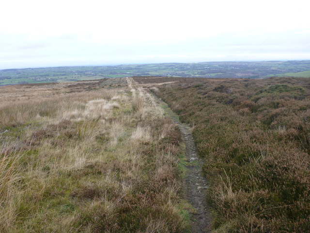
The woodland is characterized by its diverse flora and fauna, making it a popular destination for nature enthusiasts and wildlife observers. The forest boasts a rich variety of tree species, including oak, beech, ash, and of course, birch. These trees create a vibrant and scenic landscape, especially during the autumn season when the leaves change color, adding a magical touch to the surroundings.
Coed Bedw is home to a wide range of wildlife, including various bird species, mammals, and insects. Birdwatchers can often spot species such as woodpeckers, owls, and nuthatches within the forest. Additionally, mammals like foxes, badgers, and deer can also be found roaming the woodland.
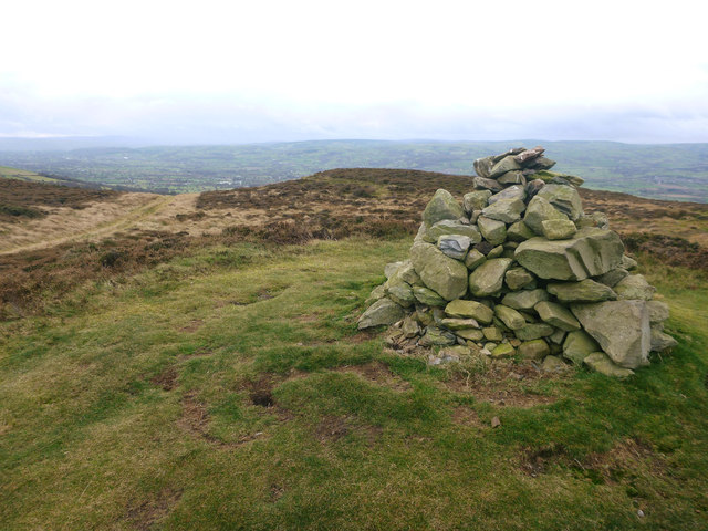
Visitors to Coed Bedw can enjoy a multitude of recreational activities. The forest offers several walking trails, allowing visitors to explore its beauty at their own pace. These trails are well-maintained and offer stunning views of the surrounding countryside. The forest is also popular for picnicking, photography, and nature-themed educational activities.
Coed Bedw is not only a haven for nature lovers but also plays an important ecological role. Its conservation efforts contribute to protecting biodiversity and maintaining a healthy ecosystem. It is a true gem of Denbighshire, attracting both locals and tourists alike with its natural beauty and tranquility.
If you have any feedback on the listing, please let us know in the comments section below.
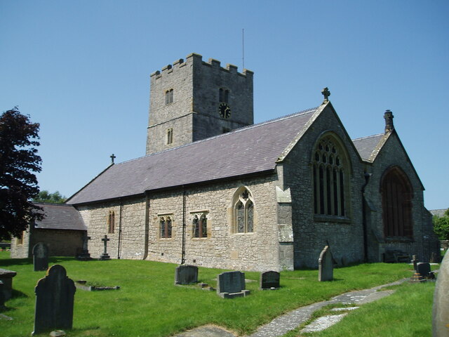
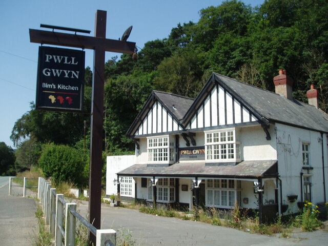
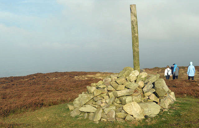
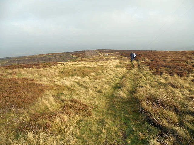
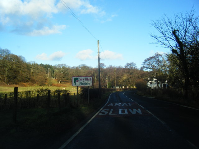
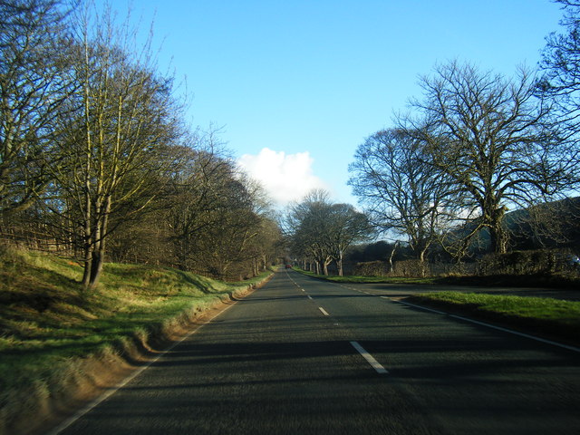
Coed Bedw Images
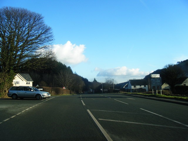
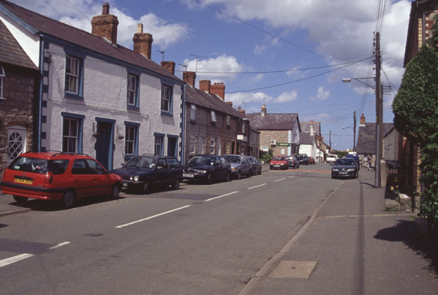
Images are sourced within 2km of 53.231225/-3.316258 or Grid Reference SJ1271. Thanks to Geograph Open Source API. All images are credited.


Coed Bedw is located at Grid Ref: SJ1271 (Lat: 53.231225, Lng: -3.316258)
Unitary Authority: Denbighshire
Police Authority: North Wales
What 3 Words
///profited.tulip.hikes. Near Whitford, Flintshire
Nearby Locations
Related Wikis
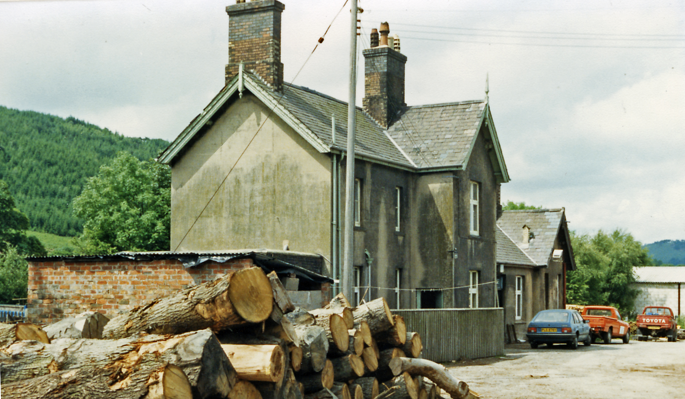
Caerwys railway station
Caerwys railway station was a station in Afonwen, Flintshire, Wales. The station was named for nearby Caerwys, opened on 6 September 1869 and closed on...

Caerwys Tufa
Caerwys Tufa is a Site of Special Scientific Interest in the preserved county of Clwyd, north Wales. Tufa, a very soft limestone that was once used to...
Afonwen
Afonwen ([ˌavɔnˈwɛn]; Welsh: Afon-wen) is a village in Flintshire, Wales. It is situated just under four miles from the A55 North Wales Expressway and...

Moel-y-Parc transmitting station
The Moel-y-Parc transmitting station is situated on Moel y Parc, a hill in north-east Wales at the northern end of the Clwydian range, close to the town...
Nearby Amenities
Located within 500m of 53.231225,-3.316258Have you been to Coed Bedw?
Leave your review of Coed Bedw below (or comments, questions and feedback).