Afon-wen
Settlement in Flintshire
Wales
Afon-wen
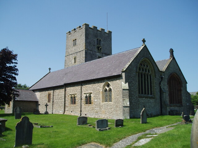
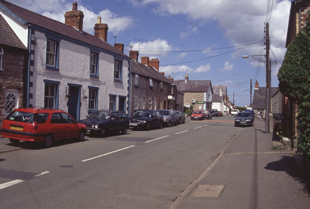
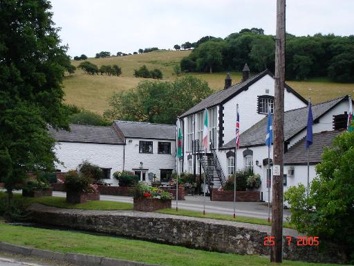
Afon-wen is a small village located in the county of Flintshire, Wales. Situated in the rural countryside, it lies approximately 6 miles southwest of the town of Holywell. The name "Afon-wen" translates to "white river" in Welsh, which is fitting as it is nestled alongside the Afon Gwenffrwd, a picturesque stream that flows through the village.
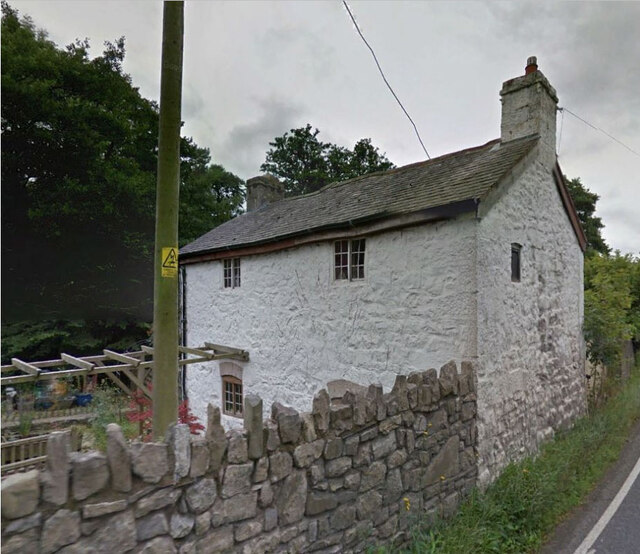
With a population of around 500 residents, Afon-wen is a close-knit community known for its peaceful and idyllic setting. The village is characterized by its charming traditional stone houses and scenic surroundings, making it a popular destination for nature enthusiasts and those seeking a tranquil escape from city life.
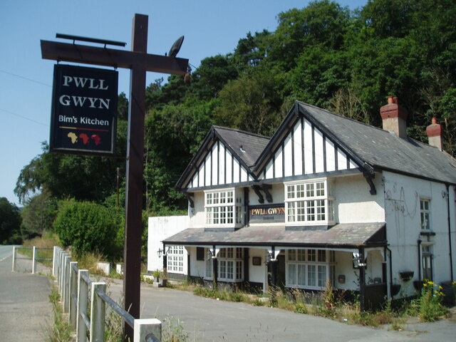
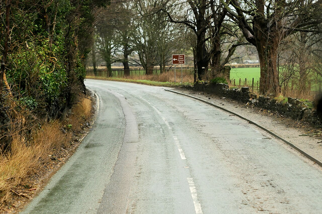
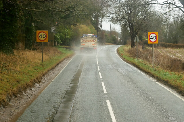
Although small in size, Afon-wen boasts a few local amenities, including a village hall and a primary school, catering to the needs of its residents. It also benefits from excellent transport links, with easy access to the A55 North Wales Expressway, connecting it to nearby towns and cities.
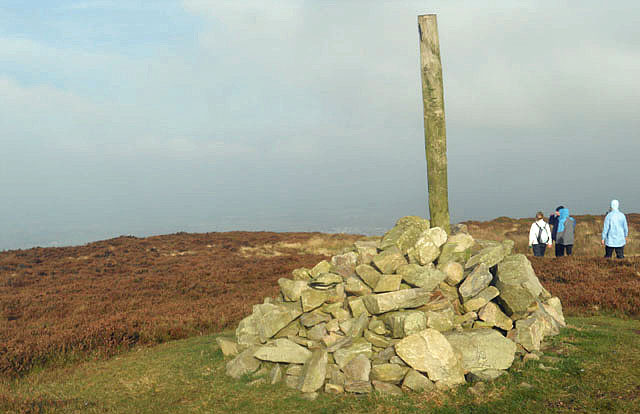
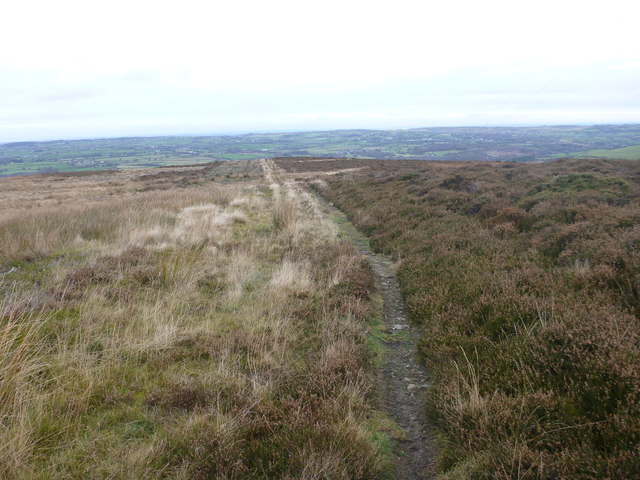
The village is surrounded by lush green fields and rolling hills, offering breathtaking views of the Clwydian Range Area of Outstanding Natural Beauty. This makes it a haven for hikers, cyclists, and walkers looking to explore the stunning Welsh countryside.
In summary, Afon-wen is a charming village in Flintshire, Wales, known for its peaceful atmosphere, beautiful surroundings, and strong sense of community.
If you have any feedback on the listing, please let us know in the comments section below.
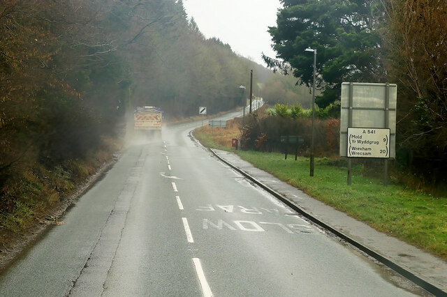
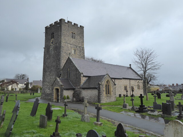
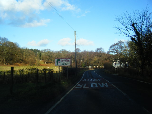
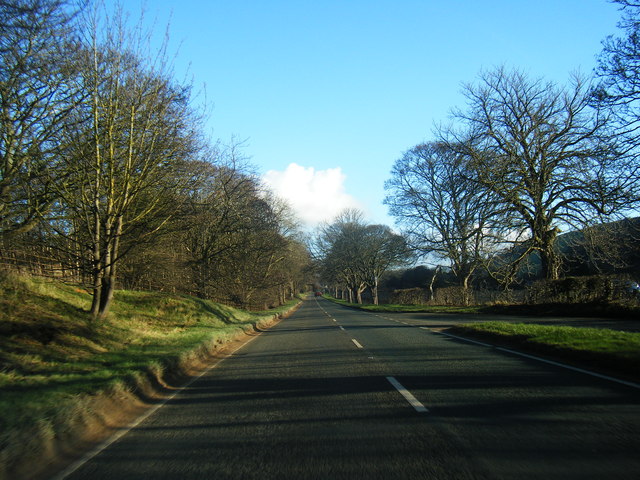
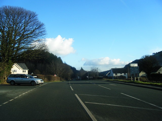
Afon-wen Images
Images are sourced within 2km of 53.234105/-3.306762 or Grid Reference SJ1271. Thanks to Geograph Open Source API. All images are credited.


Afon-wen is located at Grid Ref: SJ1271 (Lat: 53.234105, Lng: -3.306762)
Unitary Authority: Flintshire
Police Authority: North Wales
What 3 Words
///quench.access.proud. Near Whitford, Flintshire
Nearby Locations
Related Wikis
Afonwen
Afonwen ([ˌavɔnˈwɛn]; Welsh: Afon-wen) is a village in Flintshire, Wales. It is situated just under four miles from the A55 North Wales Expressway and...
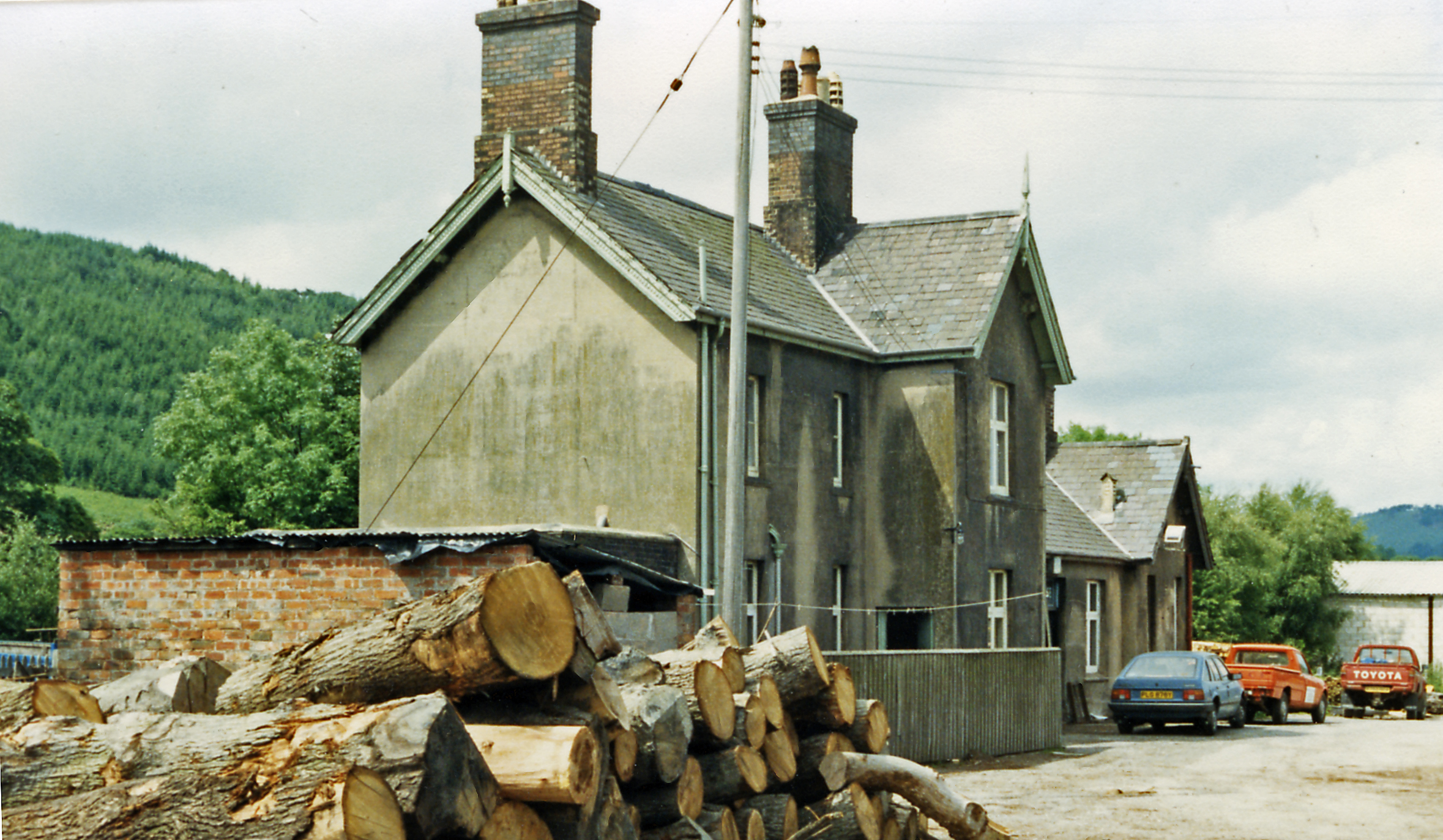
Caerwys railway station
Caerwys railway station was a station in Afonwen, Flintshire, Wales. The station was named for nearby Caerwys, opened on 6 September 1869 and closed on...

Caerwys Tufa
Caerwys Tufa is a Site of Special Scientific Interest in the preserved county of Clwyd, north Wales. Tufa, a very soft limestone that was once used to...

Ddol Uchaf
Ddol Uchaf (also known as Y Ddol Uchaf) is a Site of Special Scientific Interest located near Ysceifiog, Flintshire, Wales. It has been selected as an...
Nearby Amenities
Located within 500m of 53.234105,-3.306762Have you been to Afon-wen?
Leave your review of Afon-wen below (or comments, questions and feedback).