Boutflower Covert

Wood, Forest in Flintshire

Wales

Boutflower Covert

Unsurfaced road near Nant Coed-y-mynydd
Unsurfaced road near Nant Coed-y-mynydd Credit: John H Darch

Boutflower Covert is a picturesque woodland located in the county of Flintshire, Wales. Spanning approximately 100 acres, this enchanting forest is a haven for nature enthusiasts and provides a peaceful retreat from the hustle and bustle of everyday life.

The woodland is predominantly made up of a mix of broadleaf trees, including oak, birch, and beech, which create a rich and diverse habitat for a variety of flora and fauna. The forest floor is covered in a lush carpet of bluebells, wild garlic, and ferns, creating a vibrant and colorful display during the spring and summer months.

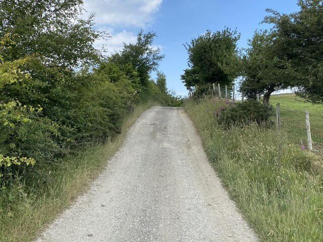
Boutflower Covert is intersected by a network of well-maintained footpaths, allowing visitors to explore the woodland at their own pace. These trails offer stunning views of the surrounding countryside and are suitable for walkers of all abilities. The peaceful atmosphere and abundant wildlife make it an ideal location for birdwatching and wildlife spotting.

The woodland is managed by the local council, who ensure the preservation of its natural beauty and protect the diverse wildlife that calls it home. There are also designated picnic areas and benches scattered throughout the woodland, providing the perfect spot for visitors to relax and take in the tranquil surroundings.

Boutflower Covert is a true gem for nature lovers, offering a wonderful opportunity to immerse oneself in the beauty of the natural world. Whether it's a leisurely stroll, a picnic with family and friends, or a peaceful moment of reflection, this charming woodland is a must-visit destination in Flintshire.

If you have any feedback on the listing, please let us know in the comments section below.

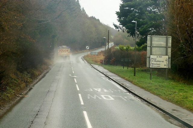
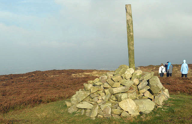
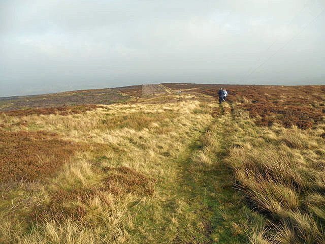
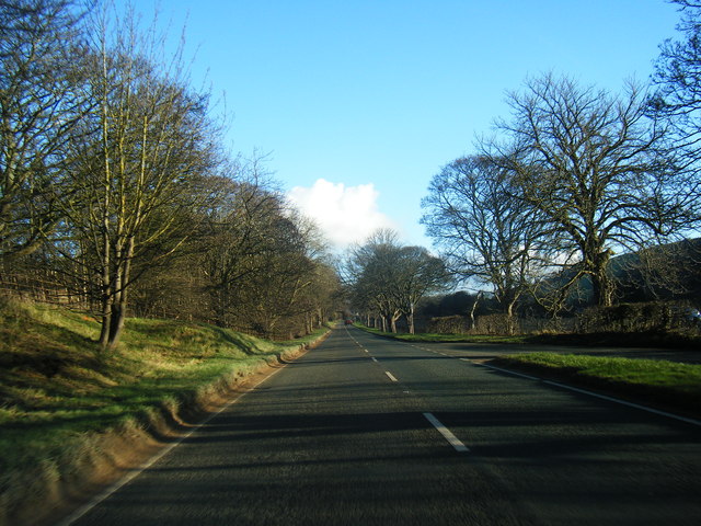
Boutflower Covert Images

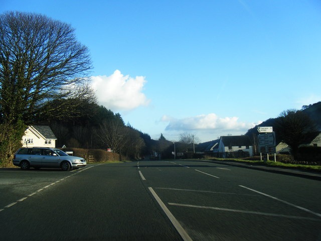
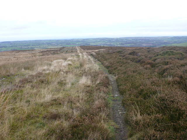
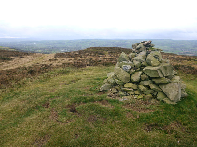
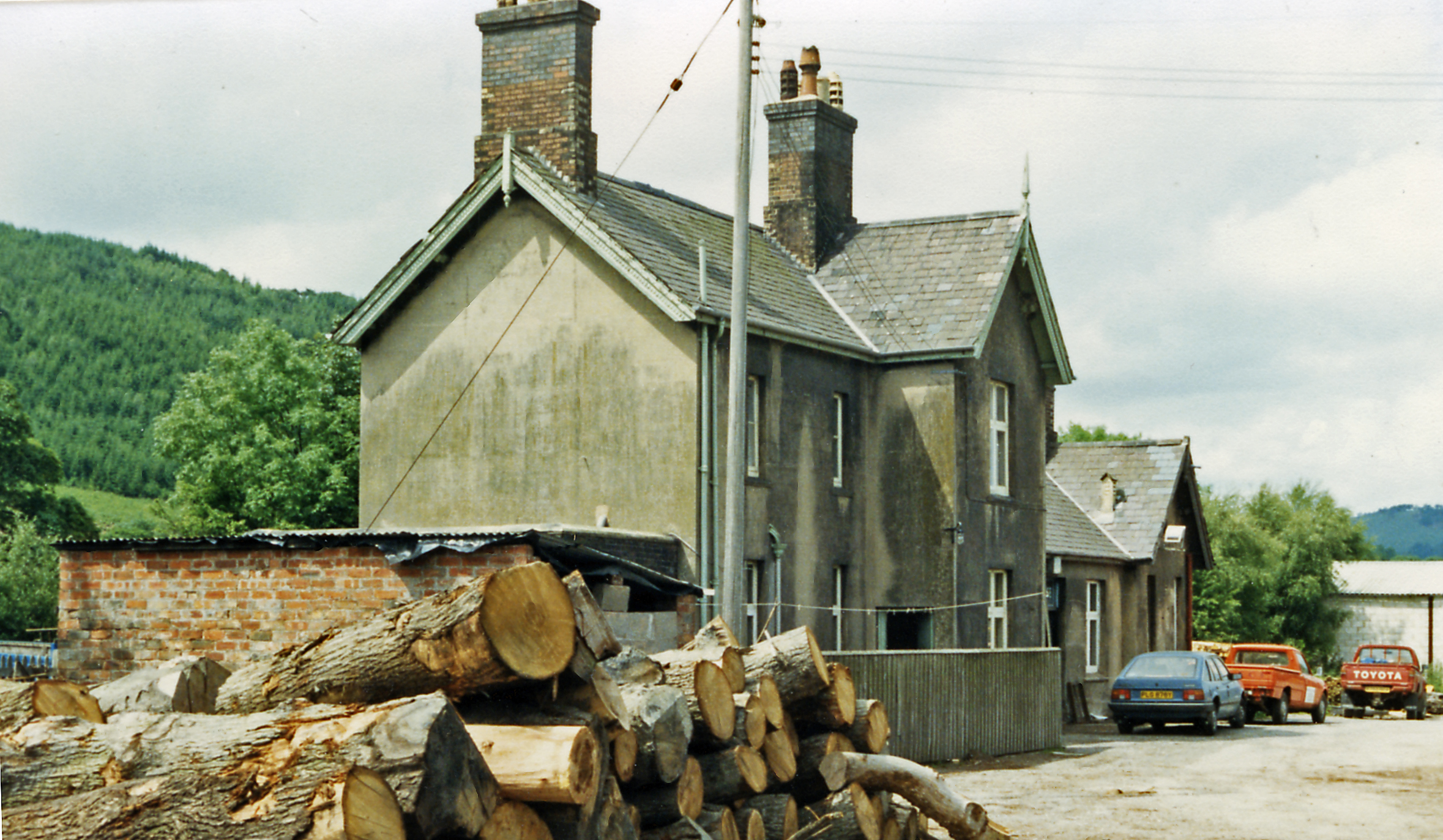
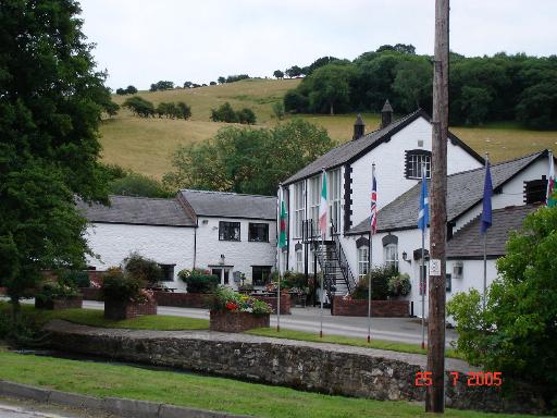
Images are sourced within 2km of 53.226705/-3.3071163 or Grid Reference SJ1270. Thanks to Geograph Open Source API. All images are credited.

Unsurfaced road near Nant Coed-y-mynydd
Pwll Gwyn, Afon-wen
Pwll Gwyn, Afon-wen
A541 near Maes-Mynan Park The A541 runs for 26 miles, linking St Asaph with Wrexham. Its northern end starts at the crossroads in the middle of the village of Trefnant (just south of St Asaph). It ends at Wrexham, where it joins the B5101 road. On the way, it passes the town of Mold and also passes through many villages.
A541 near Maes-Mynan Park
The A541 runs for 26 miles, linking St Asaph with Wrexham. Its northern end starts at the crossroads in the middle of the village of Trefnant (just south of St Asaph). It ends at Wrexham, where it joins the B5101 road. On the way, it passes the town of Mold and also passes through many villages.
A541 approaching Afon-Wen The A541 runs for 26 miles, linking St Asaph with Wrexham. Its northern end starts at the crossroads in the middle of the village of Trefnant (just south of St Asaph). It ends at Wrexham, where it joins the B5101 road. On the way, it passes the town of Mold and also passes through many villages.
A541 approaching Afon-Wen
The A541 runs for 26 miles, linking St Asaph with Wrexham. Its northern end starts at the crossroads in the middle of the village of Trefnant (just south of St Asaph). It ends at Wrexham, where it joins the B5101 road. On the way, it passes the town of Mold and also passes through many villages.
A541 at Afonwen Afonwen is a small village in Flintshire. It is situated on the A541 Mold-Denbigh road.
A541 at Afonwen
Afonwen is a small village in Flintshire. It is situated on the A541 Mold-Denbigh road.
Truck on the A541 DG Roberts' Volvo FM (SA13 DAY) passing a layby on the A541 near to Ysceifiog.
Truck on the A541
DG Roberts' Volvo FM (SA13 DAY) passing a layby on the A541 near to Ysceifiog.
Afonwen, Denbigh Road (A541) The A541 runs for 26 miles, linking St Asaph with Wrexham. Its northern end starts at the crossroads in the middle of the village of Trefnant (just south of St Asaph). It ends at Wrexham, where it joins the B5101 road. On the way, it passes the town of Mold and also passes through many villages.
Afonwen, Denbigh Road (A541)
The A541 runs for 26 miles, linking St Asaph with Wrexham. Its northern end starts at the crossroads in the middle of the village of Trefnant (just south of St Asaph). It ends at Wrexham, where it joins the B5101 road. On the way, it passes the town of Mold and also passes through many villages.
Cairn on Moel y Parc
Wild and windy
Wild and windy
A541 near Afonwen
A541 near Afonwen
A541 at  Afonwen
A541 at Afonwen
A541 looking east
A541 looking east
Former Caerwys station, 1986 View westward, towards Denbigh: ex-LNW Chester - Mold - Denbigh line, closed 30/4/62. It seems that the new owners may have been timber-merchants.
Former Caerwys station, 1986
View westward, towards Denbigh: ex-LNW Chester - Mold - Denbigh line, closed 30/4/62. It seems that the new owners may have been timber-merchants.
Footpath to Afon Wen On Access Land northeast of Moel y Parc, there are a plethora of footpaths, some far better-defined than others. This is the main one heading from the summit, across the moor and eventually down to Afon Wen. Not far beyond the limit of vision in this photo, the path meets the access land boundary on the right, where a part of it turns right and becomes not just a footpath but a public footpath, ie. a right of way under the 1949 Countryside Act, rather than the more recent CROW act which established the right to roam across the summit area.
Footpath to Afon Wen
On Access Land northeast of Moel y Parc, there are a plethora of footpaths, some far better-defined than others. This is the main one heading from the summit, across the moor and eventually down to Afon Wen. Not far beyond the limit of vision in this photo, the path meets the access land boundary on the right, where a part of it turns right and becomes not just a footpath but a public footpath, ie. a right of way under the 1949 Countryside Act, rather than the more recent CROW act which established the right to roam across the summit area.
Moel y Parc cairn Shunned by walkers on the Offa's Dyke Long Distance Footpath, Moel y Parc is the northernmost summit of this long section of ridge. The cairn seen here is on the spot marked as a tumulus on the map, so I presume that the green grassy mound is ancient, though the cairn itself looks modern. The path seen on the left heads down to the southwest to cross a well-defined bridleway at a minor col, and either direction at this junction will take one back to the Offa's Dyle and Clwydian Way routes as they head down into the Wheeler valley.
Moel y Parc cairn
Shunned by walkers on the Offa's Dyke Long Distance Footpath, Moel y Parc is the northernmost summit of this long section of ridge. The cairn seen here is on the spot marked as a tumulus on the map, so I presume that the green grassy mound is ancient, though the cairn itself looks modern. The path seen on the left heads down to the southwest to cross a well-defined bridleway at a minor col, and either direction at this junction will take one back to the Offa's Dyle and Clwydian Way routes as they head down into the Wheeler valley.
High on the hill
High on the hill
It seems a long way to the top
Offa's Dyke Path near Nant Coed-y-mynydd Offa's Dyke Path heading north near Nant Coed-y-mynydd.
Offa's Dyke Path near Nant Coed-y-mynydd
Offa's Dyke Path heading north near Nant Coed-y-mynydd.
Show me another place!

Boutflower Covert is located at Grid Ref: SJ1270 (Lat: 53.226705, Lng: -3.3071163)

Unitary Authority: Flintshire

Police Authority: North Wales

What 3 Words

///mallets.discount.luggage. Near Whitford, Flintshire

Nearby Locations

Boutflower Covert

Related Wikis

Moel-y-Parc transmitting station

The Moel-y-Parc transmitting station is situated on Moel y Parc, a hill in north-east Wales at the northern end of the Clwydian range, close to the town...

Caerwys railway station

Caerwys railway station was a station in Afonwen, Flintshire, Wales. The station was named for nearby Caerwys, opened on 6 September 1869 and closed on...

Afonwen

Afonwen ([ˌavɔnˈwɛn]; Welsh: Afon-wen) is a village in Flintshire, Wales. It is situated just under four miles from the A55 North Wales Expressway and...

Caerwys Tufa

Caerwys Tufa is a Site of Special Scientific Interest in the preserved county of Clwyd, north Wales. Tufa, a very soft limestone that was once used to...

Nearby Amenities

Located within 500m of 53.226705,-3.3071163
Power: pole
Lat/Long: 53.2225413/-3.3075203
Power: pole
Lat/Long: 53.2232489/-3.3069142
Power: pole
Lat/Long: 53.2240136/-3.3062104
Power: pole
Lat/Long: 53.2247042/-3.30555
Power: pole
Lat/Long: 53.225459/-3.3051384
Power: pole
Lat/Long: 53.2263197/-3.3046877
Power: pole
Lat/Long: 53.2273329/-3.3052617
Power: pole
Lat/Long: 53.2278145/-3.3055809
Power: pole
Lat/Long: 53.2285789/-3.3059457
Power: pole
Lat/Long: 53.2294042/-3.3063507
Power: pole
Lat/Long: 53.2304125/-3.3068711
Power: pole
Lat/Long: 53.231135/-3.3058465
Direction: 235
Generator Method: photovoltaic
Generator Output Electricity: yes
Generator Solar Modules: 15
Generator Source: solar
Generator Type: solar_photovoltaic_panel
Location: roof
Power: generator
Lat/Long: 53.222868/-3.3034173
Direction: 235
Generator Method: photovoltaic
Generator Output Electricity: yes
Generator Solar Modules: 6
Generator Source: solar
Generator Type: solar_photovoltaic_panel
Location: roof
Power: generator
Lat/Long: 53.2229073/-3.3034187
The data included in this document is from www.openstreetmap.org. The data is made available under ODbL.

Have you been to Boutflower Covert?

Leave your review of Boutflower Covert below (or comments, questions and feedback).