Big Pool Wood
Wood, Forest in Flintshire
Wales
Big Pool Wood
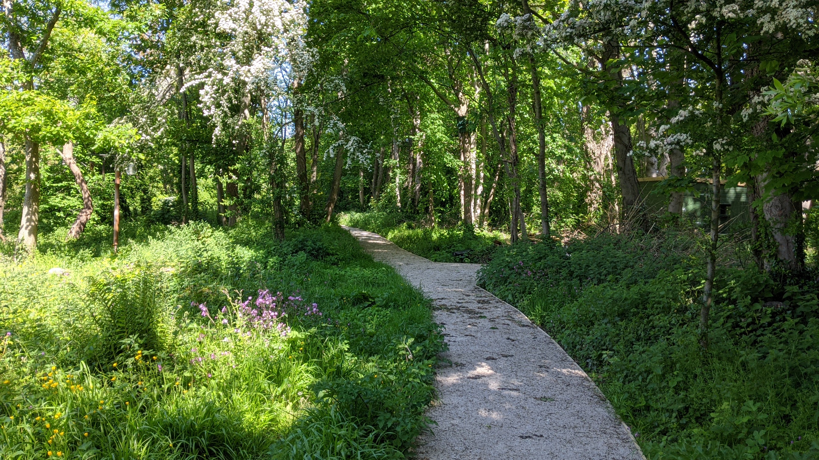
Big Pool Wood is a beautiful forest located in Flintshire, Wales. Covering an area of approximately 100 hectares, this wood is a haven for nature enthusiasts and those seeking a peaceful escape from the hustle and bustle of daily life.
The wood is primarily composed of a mix of broadleaf trees, including oak, beech, and birch, which create a dense and vibrant canopy overhead. The forest floor is adorned with a rich carpet of bluebells, wild garlic, and ferns, adding to its enchanting atmosphere.
As its name suggests, Big Pool Wood is home to a large natural pool, which is a significant feature of the forest. The pool is fed by a small stream and is surrounded by lush vegetation, providing a tranquil spot for visitors to relax and enjoy the serene surroundings.
The forest is a haven for wildlife, with various species of birds, mammals, and insects calling it home. Visitors may catch glimpses of woodpeckers, squirrels, and even the occasional deer as they explore the woodland trails.
Big Pool Wood offers a network of well-maintained walking paths that meander through the forest, allowing visitors to immerse themselves in the natural beauty at their own pace. The trails range in difficulty, catering to both casual strollers and more experienced hikers.
Overall, Big Pool Wood is a stunning destination for nature lovers and those seeking a peaceful retreat. Its diverse flora and fauna, coupled with the tranquil pool and well-marked trails, make it a must-visit location for anyone in Flintshire.
If you have any feedback on the listing, please let us know in the comments section below.
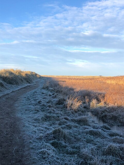
Big Pool Wood Images
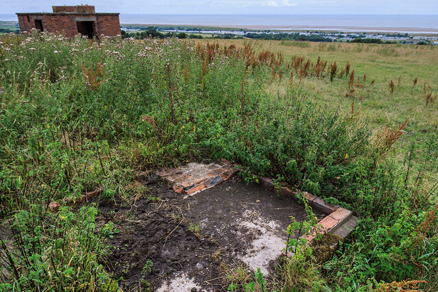
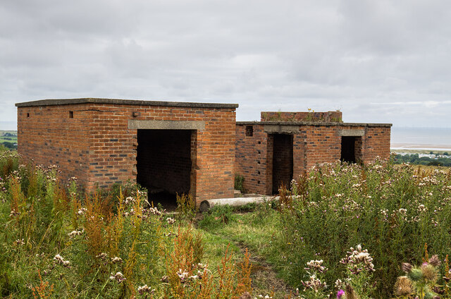
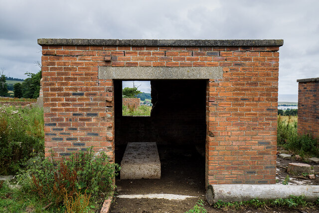
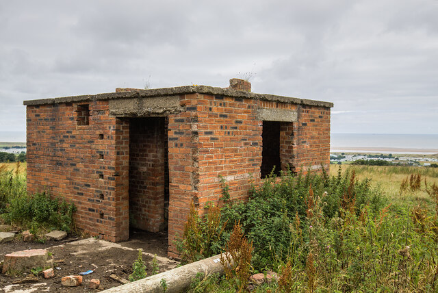
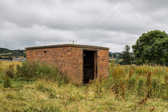
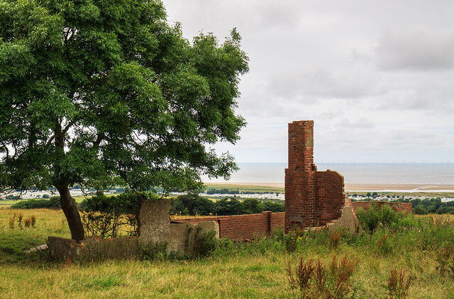
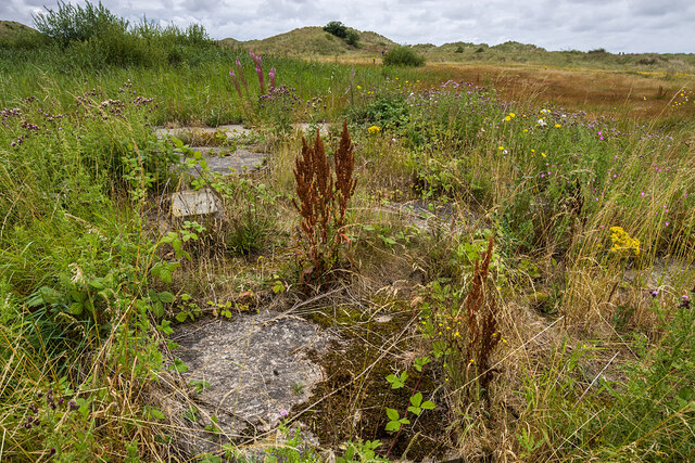
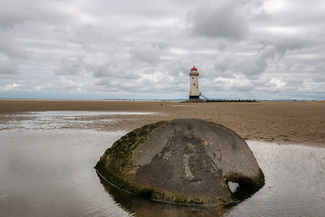
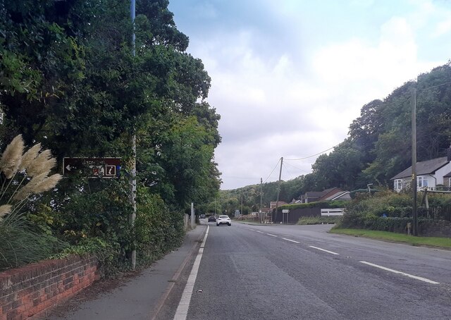
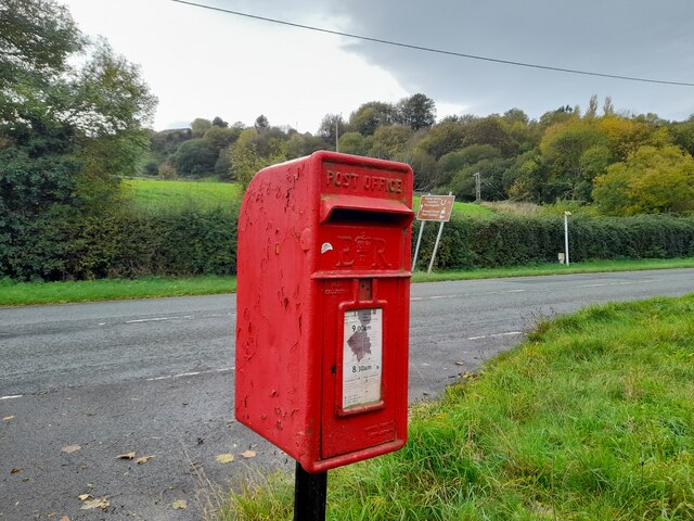
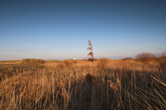
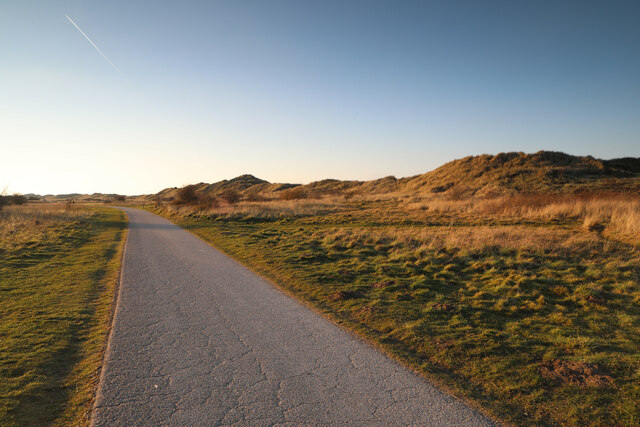
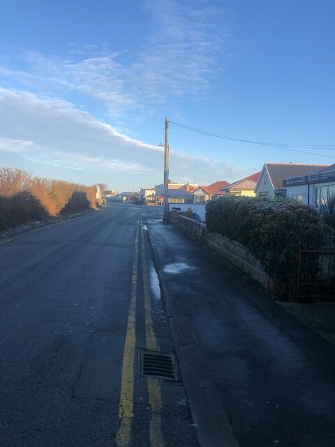
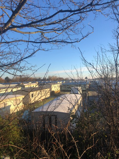
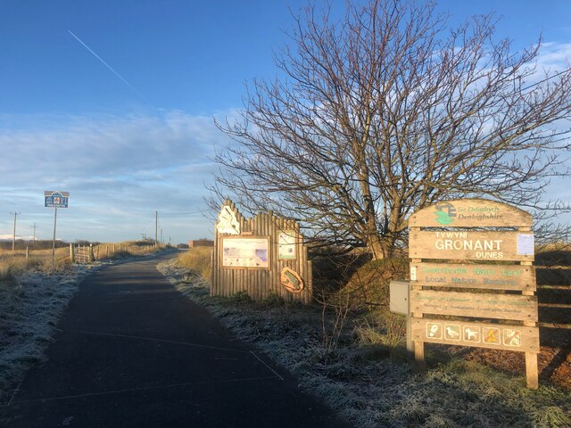
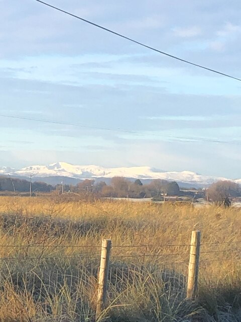
Images are sourced within 2km of 53.346369/-3.3517098 or Grid Reference SJ1084. Thanks to Geograph Open Source API. All images are credited.

Big Pool Wood is located at Grid Ref: SJ1084 (Lat: 53.346369, Lng: -3.3517098)
Unitary Authority: Flintshire
Police Authority: North Wales
What 3 Words
///proven.neat.disengage. Near Gronant, Flintshire
Nearby Locations
Related Wikis
Big Pool Wood
Big Pool Wood is a Nature reserve located near Gronant, Flintshire, Wales. The site is part of the Dee Estuary SSSI & SAC due to the unique wildlife and...
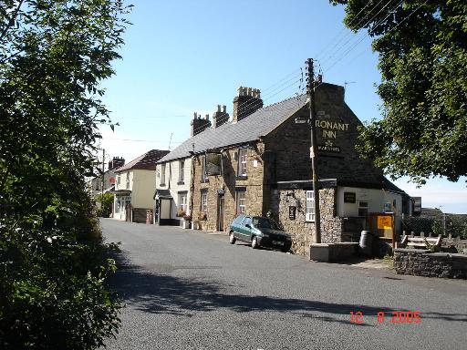
Gronant
Gronant is a village in Flintshire, Wales, about 2 miles east of Prestatyn. The population, as measured by the 2001 census, is 1,595, living in 697 households...
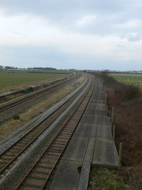
Talacre railway station
Talacre railway station served the village of Talacre, near Prestatyn on the North Wales Coast Line. == History == The station was opened in 1903 by the...

Gwespyr
Gwespyr is a village in Flintshire on the north coast of Wales in the community of Llanasa. Gwespyr had a population of 289 people in the United Kingdom...
Nearby Amenities
Located within 500m of 53.346369,-3.3517098Have you been to Big Pool Wood?
Leave your review of Big Pool Wood below (or comments, questions and feedback).