Tynmorfa
Settlement in Flintshire
Wales
Tynmorfa
Tynmorfa is a small village located in the county of Flintshire, Wales. Situated in the northeastern part of the country, it lies approximately 8 miles west of the town of Mold and 6 miles south of the market town of Holywell. Tynmorfa is a rural area surrounded by picturesque countryside, with rolling hills and green fields.
The village itself is characterized by a tight-knit community and a peaceful atmosphere. It consists of a collection of charming cottages and houses, many of which boast traditional Welsh architecture. The village is home to a small but vibrant community, with a local pub, a village hall, and a primary school that caters to the educational needs of the children in the area.
Tynmorfa benefits from its close proximity to the nearby towns, providing residents with easy access to a range of amenities and services. The beautiful North Wales coastline is also within driving distance, offering opportunities for leisurely walks and stunning views.
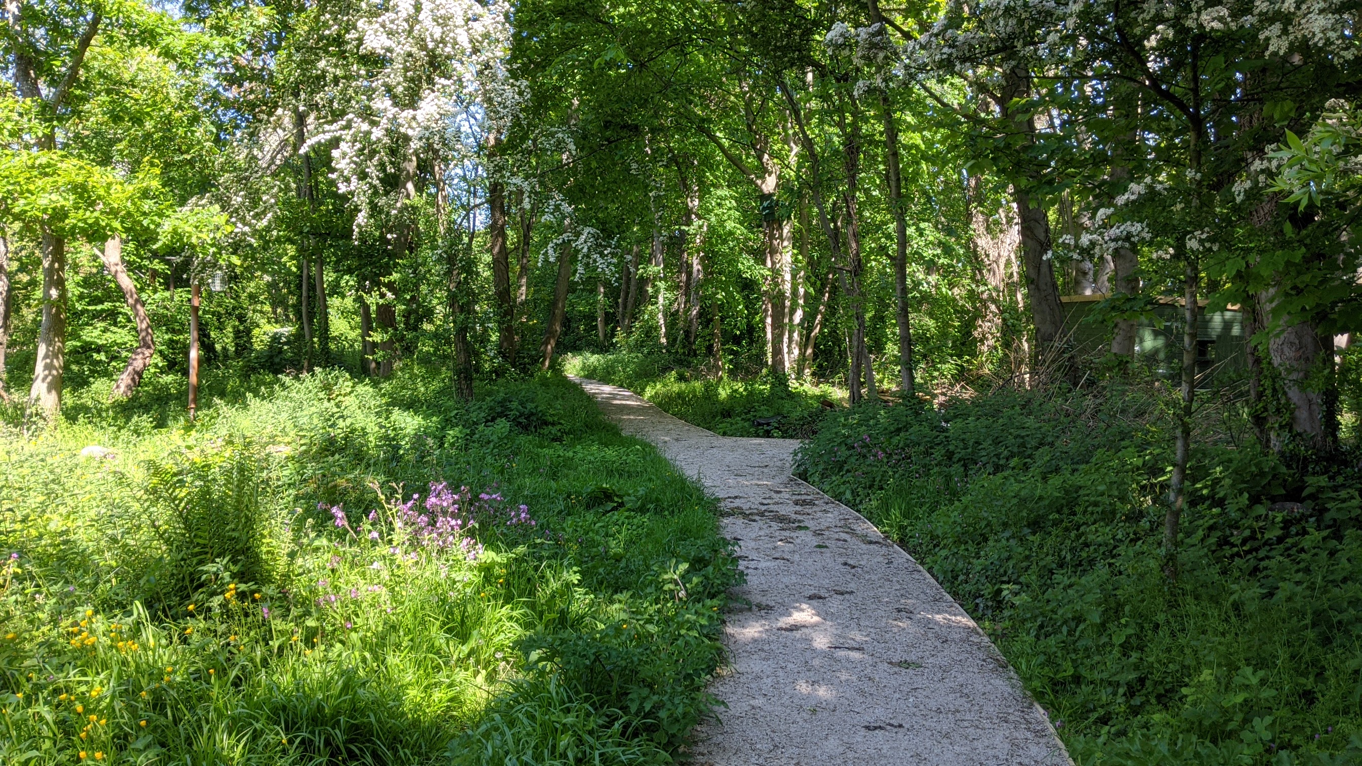
The area surrounding Tynmorfa is rich in natural beauty, making it a popular destination for outdoor enthusiasts. There are several walking and cycling routes that allow visitors to explore the scenic landscapes and enjoy the tranquility of the countryside.
In summary, Tynmorfa is a delightful village in Flintshire, Wales, that offers a peaceful and idyllic setting for its residents. With its close-knit community and beautiful surroundings, it provides a charming place to call home.
If you have any feedback on the listing, please let us know in the comments section below.
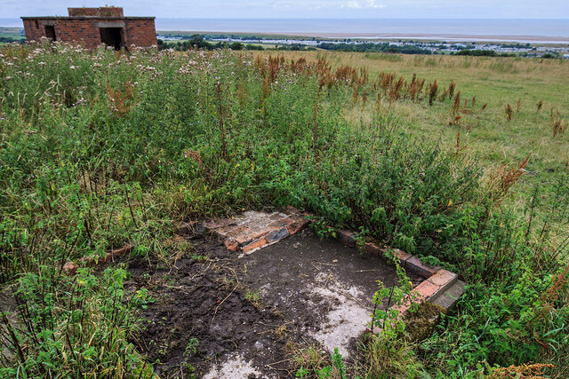
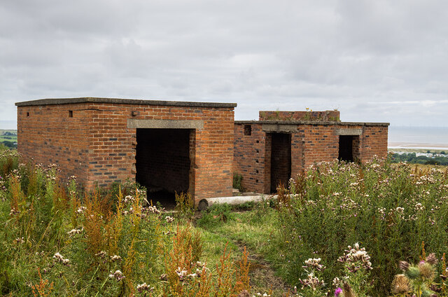
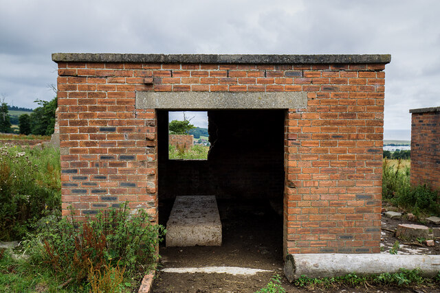
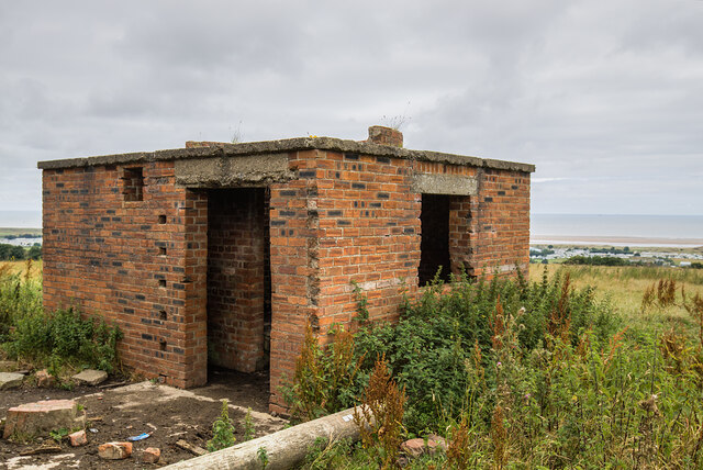
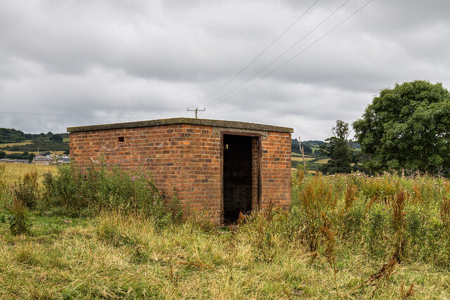
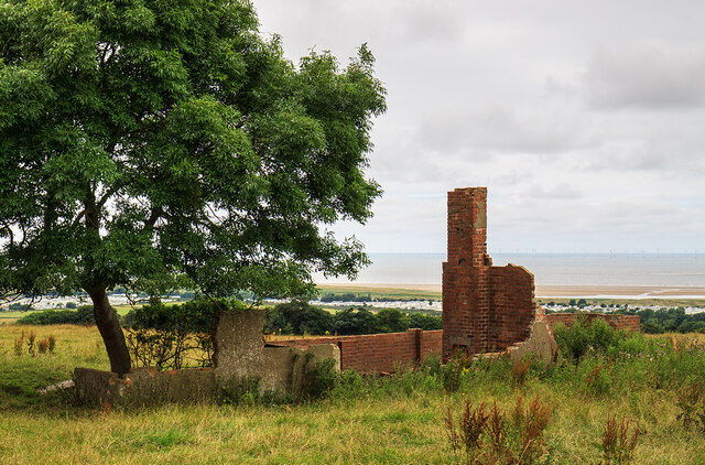
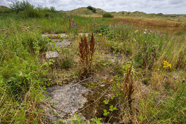
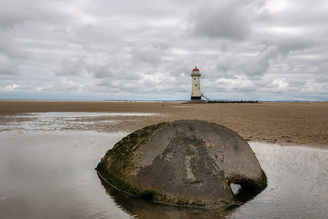
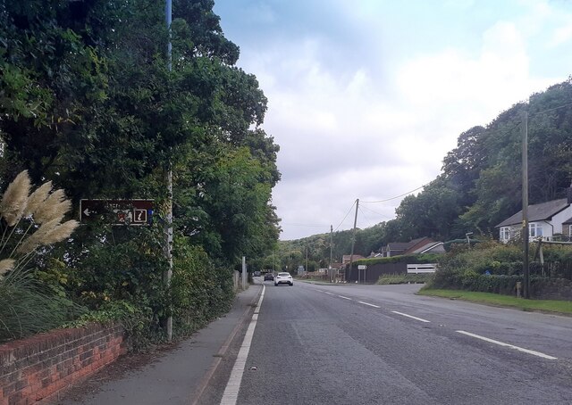
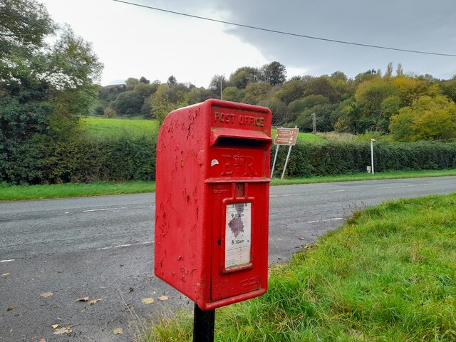
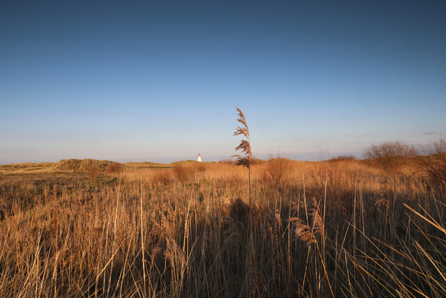
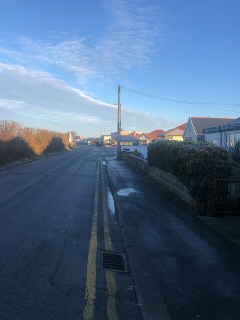
Tynmorfa Images
Images are sourced within 2km of 53.349778/-3.346008 or Grid Reference SJ1084. Thanks to Geograph Open Source API. All images are credited.


Tynmorfa is located at Grid Ref: SJ1084 (Lat: 53.349778, Lng: -3.346008)
Unitary Authority: Flintshire
Police Authority: North Wales
Also known as: Tyn-y-Morfa
What 3 Words
///receiving.marbles.crash. Near Gronant, Flintshire
Nearby Locations
Related Wikis
Big Pool Wood
Big Pool Wood is a Nature reserve located near Gronant, Flintshire, Wales. The site is part of the Dee Estuary SSSI & SAC due to the unique wildlife and...
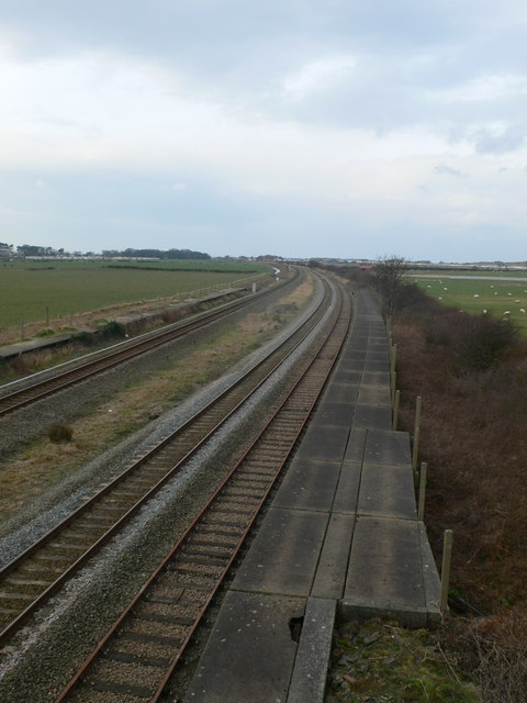
Talacre railway station
Talacre railway station served the village of Talacre, near Prestatyn on the North Wales Coast Line. == History == The station was opened in 1903 by the...

Gwespyr
Gwespyr is a village in Flintshire on the north coast of Wales in the community of Llanasa. Gwespyr had a population of 289 people in the United Kingdom...
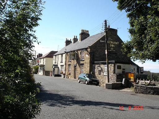
Gronant
Gronant is a village in Flintshire, Wales, about 2 miles east of Prestatyn. The population, as measured by the 2001 census, is 1,595, living in 697 households...
Nearby Amenities
Located within 500m of 53.349778,-3.346008Have you been to Tynmorfa?
Leave your review of Tynmorfa below (or comments, questions and feedback).