Tyn-y-Morfa
Settlement in Flintshire
Wales
Tyn-y-Morfa
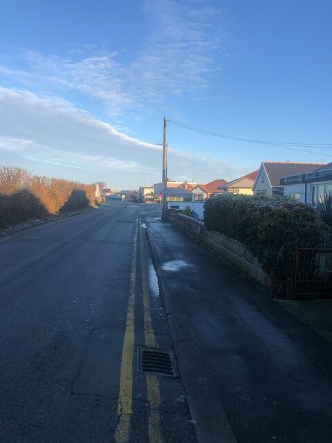
Tyn-y-Morfa is a small village located in the county of Flintshire, in northeastern Wales. Situated on the coast of the Irish Sea, Tyn-y-Morfa offers stunning views of the water and a tranquil atmosphere for residents and visitors alike.
The village is known for its picturesque landscapes, with rolling hills and green fields surrounding the area. It is a popular destination for outdoor enthusiasts, who can explore the nearby hiking trails and enjoy the natural beauty of the countryside. Additionally, Tyn-y-Morfa boasts a sandy beach, providing an ideal spot for relaxation and water activities during the summer months.
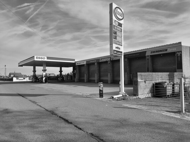
Despite its small size, Tyn-y-Morfa offers a range of amenities for its residents. The village has a local convenience store, providing daily necessities to the community. For more extensive shopping and entertainment options, the nearby town of Holywell is easily accessible.
Tyn-y-Morfa is also rich in history, with several historic landmarks in the vicinity. One notable site is the St. Mary's Church, a medieval church that dates back to the 13th century. Visitors can admire the stunning architecture and learn about the village's past.
Overall, Tyn-y-Morfa is a charming village that offers a peaceful retreat for those seeking a slower pace of life. Its natural beauty, combined with its historical significance, makes it an attractive destination for both locals and tourists looking to immerse themselves in the Welsh countryside.
If you have any feedback on the listing, please let us know in the comments section below.
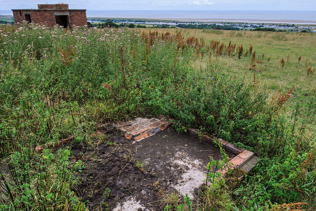
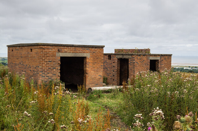
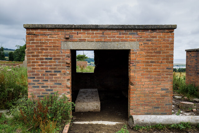
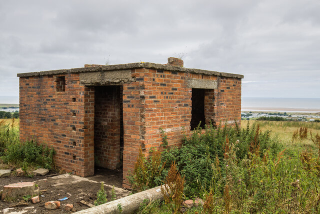
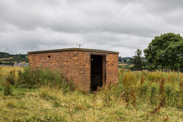
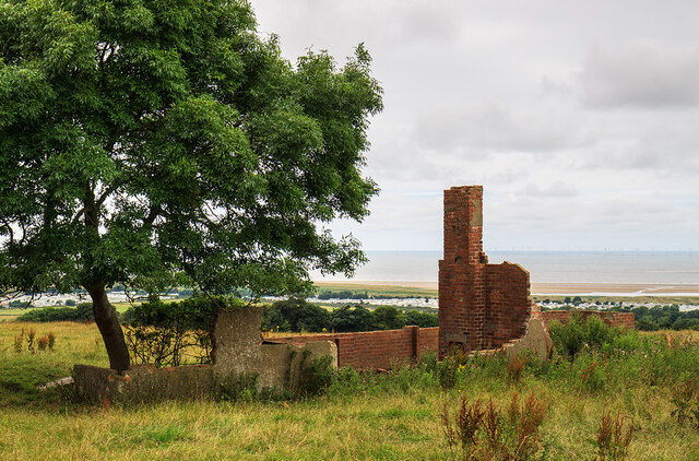
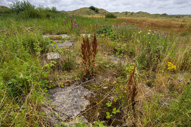
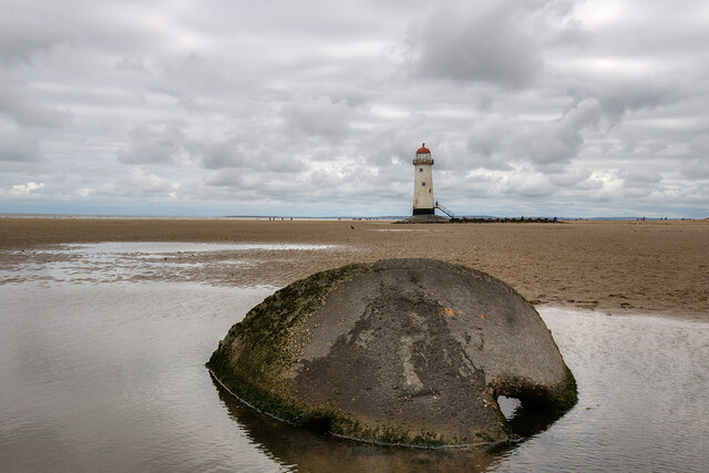
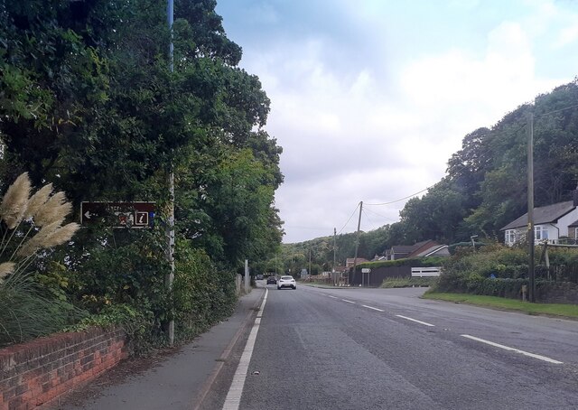
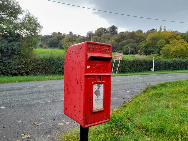
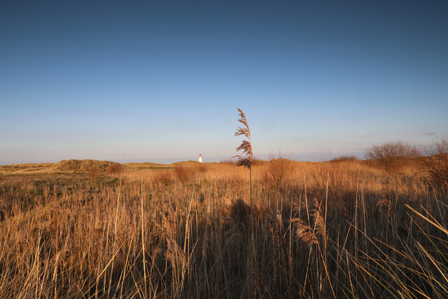
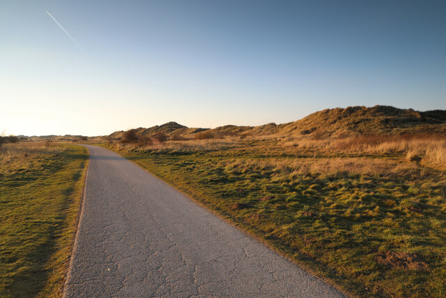
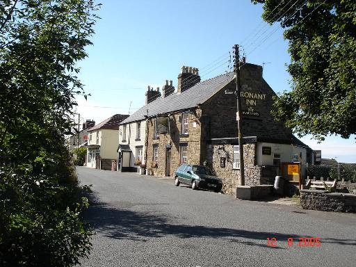
Tyn-y-Morfa Images
Images are sourced within 2km of 53.349778/-3.346008 or Grid Reference SJ1084. Thanks to Geograph Open Source API. All images are credited.


Tyn-y-Morfa is located at Grid Ref: SJ1084 (Lat: 53.349778, Lng: -3.346008)
Unitary Authority: Flintshire
Police Authority: North Wales
Also known as: Tynmorfa
What 3 Words
///receiving.marbles.crash. Near Gronant, Flintshire
Nearby Locations
Related Wikis
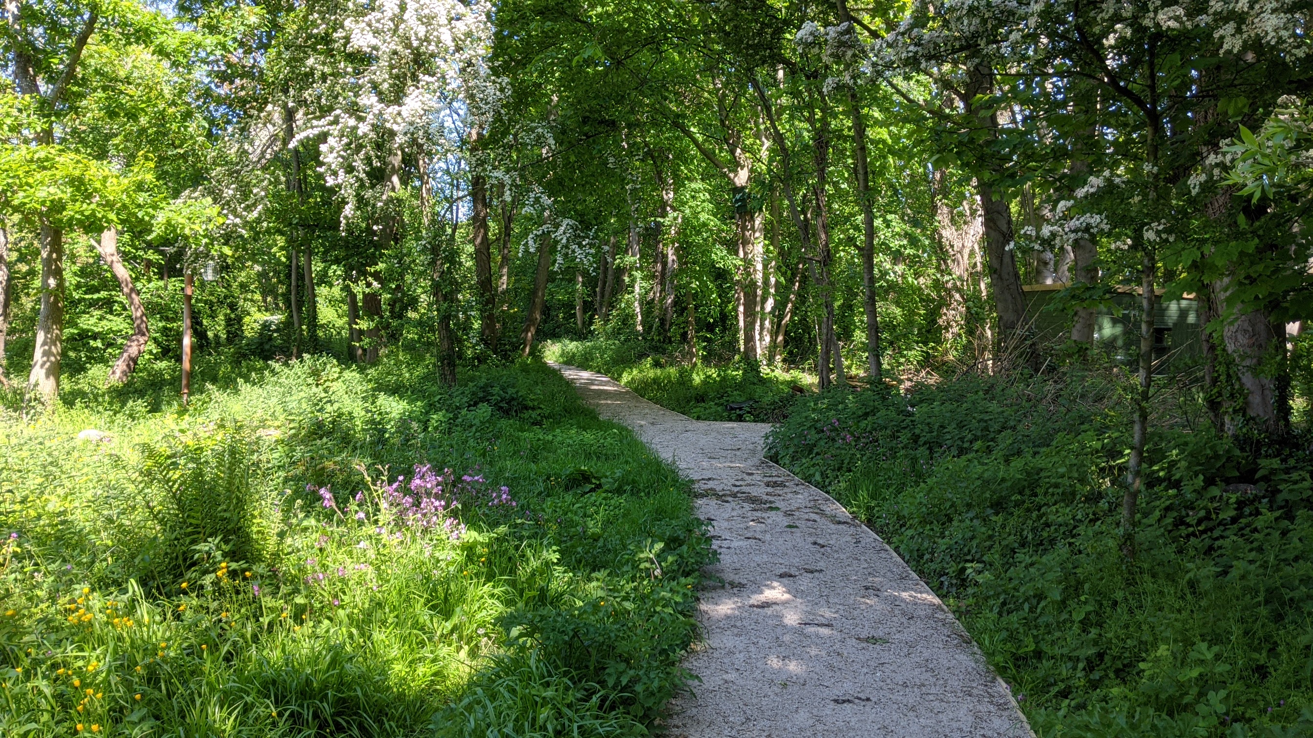
Big Pool Wood
Big Pool Wood is a Nature reserve located near Gronant, Flintshire, Wales. The site is part of the Dee Estuary SSSI & SAC due to the unique wildlife and...
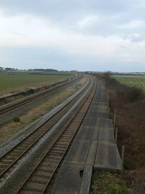
Talacre railway station
Talacre railway station served the village of Talacre, near Prestatyn on the North Wales Coast Line. == History == The station was opened in 1903 by the...

Gwespyr
Gwespyr is a village in Flintshire on the north coast of Wales in the community of Llanasa. Gwespyr had a population of 289 people in the United Kingdom...
Gronant
Gronant is a village in Flintshire, Wales, about 2 miles east of Prestatyn. The population, as measured by the 2001 census, is 1,595, living in 697 households...
Nearby Amenities
Located within 500m of 53.349778,-3.346008Have you been to Tyn-y-Morfa?
Leave your review of Tyn-y-Morfa below (or comments, questions and feedback).