Warren Strip
Wood, Forest in Flintshire
Wales
Warren Strip
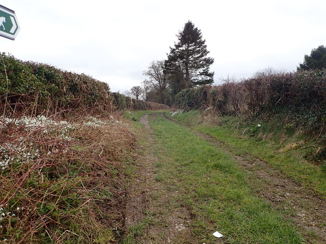
Warren Strip is a small woodland area located in Flintshire, Wales. Situated within the larger Warren Woods, this particular section is known for its dense forest cover and abundant wildlife. The woodland is primarily composed of a mix of broadleaf and coniferous trees, including oak, beech, pine, and spruce, creating a diverse and picturesque landscape.
Covering an area of approximately 50 acres, Warren Strip offers a tranquil escape for nature lovers and outdoor enthusiasts. The woodland is crisscrossed with well-maintained footpaths, allowing visitors to explore and appreciate the natural beauty of the area. These paths lead through the thick undergrowth and towering trees, providing glimpses of wildlife such as squirrels, rabbits, and various bird species.
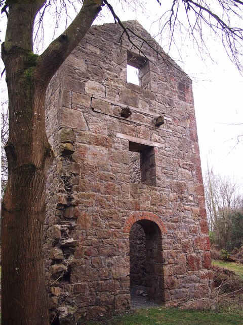
Warren Strip is not only a haven for nature, but it also holds historical significance. Adjacent to the woodland, there are remains of an old quarry, serving as a reminder of the area's industrial past. In addition, there are traces of ancient earthworks and ditches, hinting at a rich history dating back centuries.
Access to Warren Strip is easy, with nearby parking and clear signposting. The woodland is a popular spot for walking, jogging, and dog walking, offering a peaceful retreat from the hustle and bustle of everyday life. With its natural beauty and historical allure, Warren Strip is a gem within Flintshire, attracting visitors from near and far who seek solace in its tranquil embrace.
If you have any feedback on the listing, please let us know in the comments section below.
Warren Strip Images
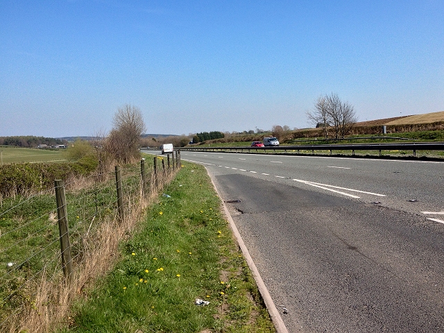
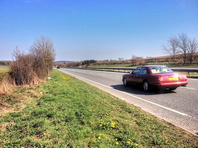
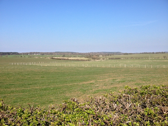
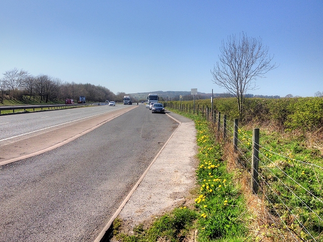
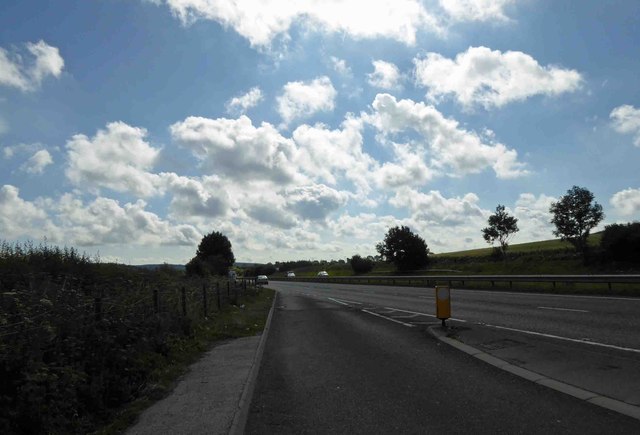
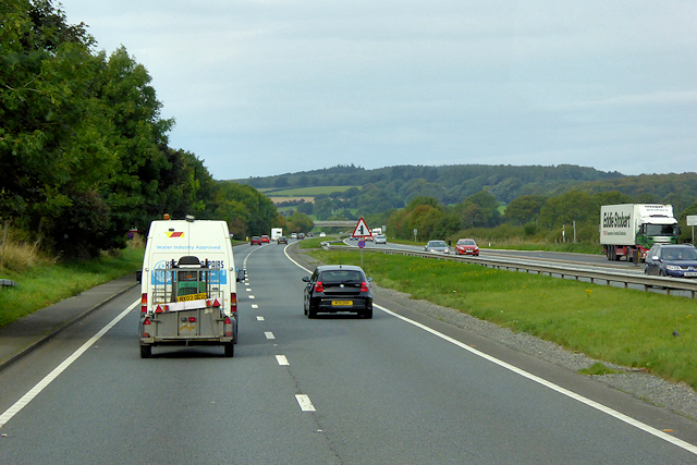
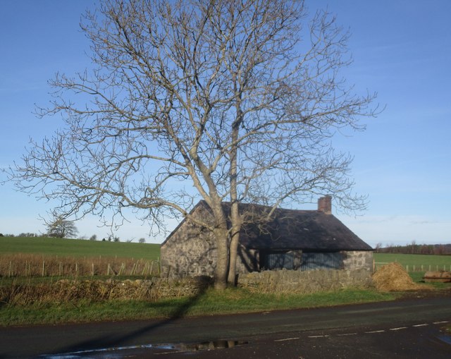
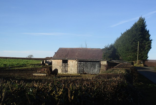
Images are sourced within 2km of 53.259098/-3.3486859 or Grid Reference SJ1074. Thanks to Geograph Open Source API. All images are credited.


Warren Strip is located at Grid Ref: SJ1074 (Lat: 53.259098, Lng: -3.3486859)
Unitary Authority: Flintshire
Police Authority: North Wales
What 3 Words
///menu.custodian.slippers. Near Cwm, Denbighshire
Nearby Locations
Related Wikis

St Beuno's Jesuit Spirituality Centre
St Beuno's Jesuit Spirituality Centre, known locally as St Beuno's College, is a spirituality and retreat centre in Tremeirchion, Denbighshire, Wales....

Hendre Bach
Hendre Bach is a Site of Special Scientific Interest in the preserved county of Clwyd, north Wales. == See also == List of Sites of Special Scientific...

Tremeirchion
Tremeirchion (previously known as Lleweni) is a small residential community in Denbighshire, Wales. It lies on the B5429 road, to the north east of Denbigh...
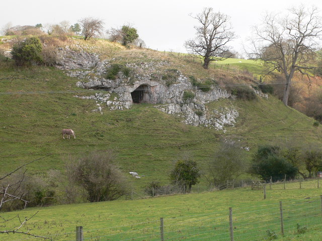
Ffynnon Beuno and Cae Gwyn Caves
Ffynnon Beuno and Cae Gwyn Caves are two Scheduled Ancient Monuments, in Denbighshire, Wales, which are also designated a Site of Special Scientific Interest...
Nearby Amenities
Located within 500m of 53.259098,-3.3486859Have you been to Warren Strip?
Leave your review of Warren Strip below (or comments, questions and feedback).