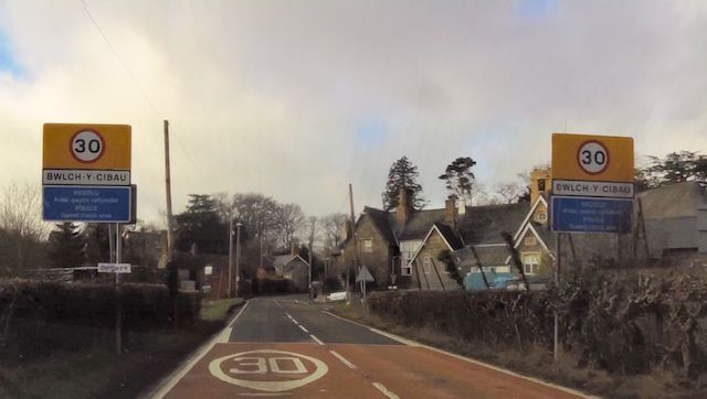
Bwlch y Cibau
Settlement in Montgomeryshire
Wales
Bwlch y Cibau

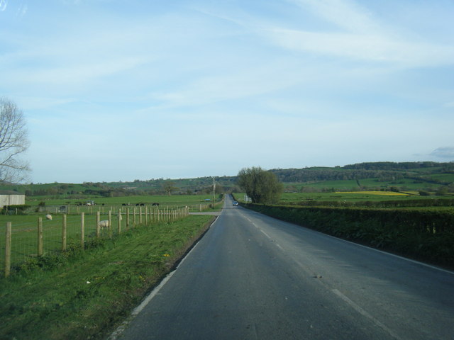
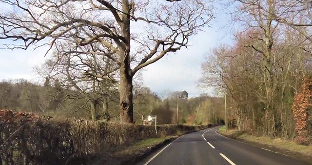
Bwlch y Cibau is a small rural area located in the county of Montgomeryshire, Wales. Situated in the heart of the picturesque Welsh countryside, it is known for its stunning natural beauty and peaceful surroundings. The name "Bwlch y Cibau" translates to "Pass of the Doves" in English, which is reflective of the tranquility that can be found in this region.
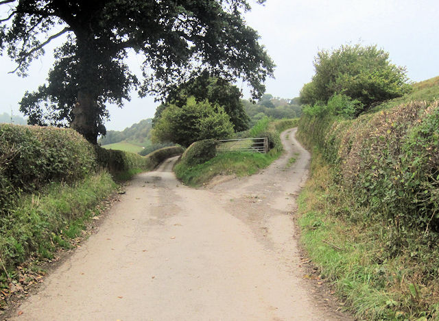
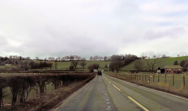
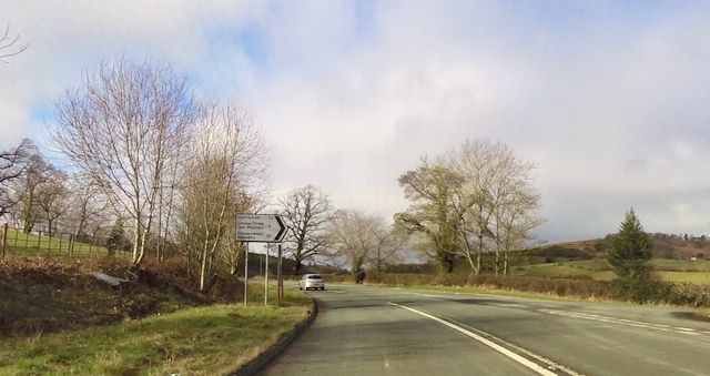
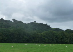
The area is characterized by rolling hills, lush green valleys, and breathtaking panoramic views. It is a popular destination for outdoor enthusiasts, offering numerous opportunities for walking, hiking, and cycling. The nearby Cibau Mountain is a favorite spot for those seeking adventure, with its challenging trails and stunning vistas.
Bwlch y Cibau is also home to a rich variety of wildlife, including a diverse range of bird species and mammals. Birdwatchers can spot rare species such as red kites and peregrine falcons, while those interested in flora and fauna can explore the many wildflowers and plants that dot the landscape.
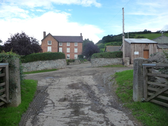
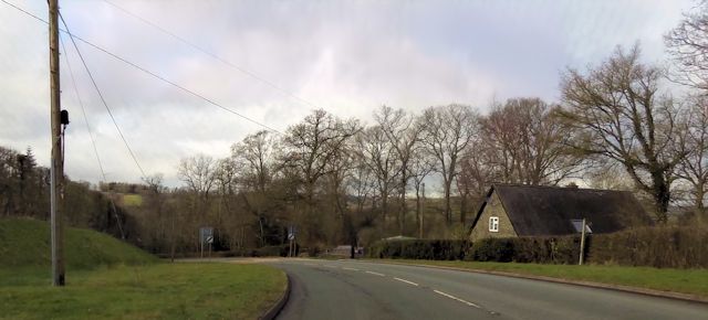
The community in Bwlch y Cibau is close-knit and friendly, with a strong sense of Welsh heritage and culture. There are a few small, traditional Welsh cottages scattered throughout the area, adding to its charm and authenticity.
Overall, Bwlch y Cibau is a hidden gem in Montgomeryshire, offering visitors a chance to escape the hustle and bustle of everyday life and immerse themselves in the stunning natural beauty of the Welsh countryside.
If you have any feedback on the listing, please let us know in the comments section below.
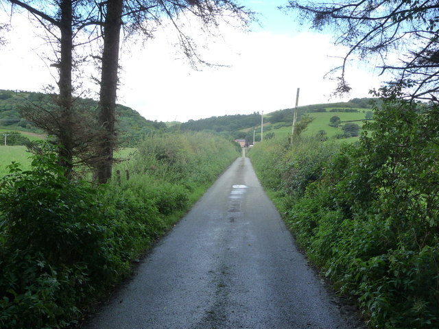
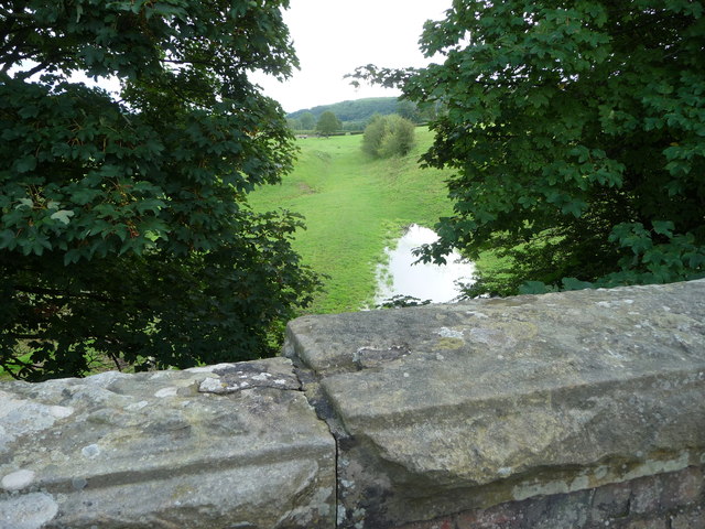
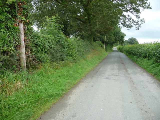
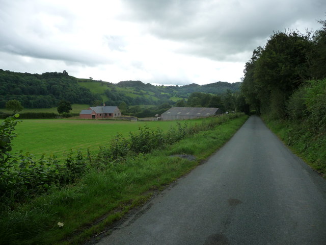
Bwlch y Cibau Images
Images are sourced within 2km of 52.748349/-3.221464 or Grid Reference SJ1717. Thanks to Geograph Open Source API. All images are credited.


Bwlch y Cibau is located at Grid Ref: SJ1717 (Lat: 52.748349, Lng: -3.221464)
Unitary Authority: Powys
Police Authority: Dyfed Powys
Also known as: Bwlch-y-Cibau, Bwlchycibau
What 3 Words
///stolen.contracts.pumps. Near Llanfechain, Powys
Nearby Locations
Related Wikis

Bwlch-y-cibau
Bwlch-y-Cibau also known as the "pass of the husks" in English, is a small village located between Llanfyllin and Welshpool. It is situated on the A490...

Bryngwyn Halt railway station
Bryngwyn Halt railway station is a disused station that was on the Llanfyllin Branch of the Cambrian Railways. It served the villages of Bwlch-y-cibau...
Lonely Tree
The Lonely Tree was a Scots pine on a hill near Llanfyllin, Powys, Wales. Visible from much of the town it was a local landmark with several traditions...
Allt-y-Main
Allt-y-Main is a hamlet in the community of Meifod, Powys, Wales, which is 86 miles (139 km) from Cardiff and 156 miles (252 km) from London. == References... ==

Llanfechain
Llanfechain is a village and community in Powys, Wales, on the B4393 road between Llanfyllin and Llansantffraid-ym-Mechain. Historically it belonged to...
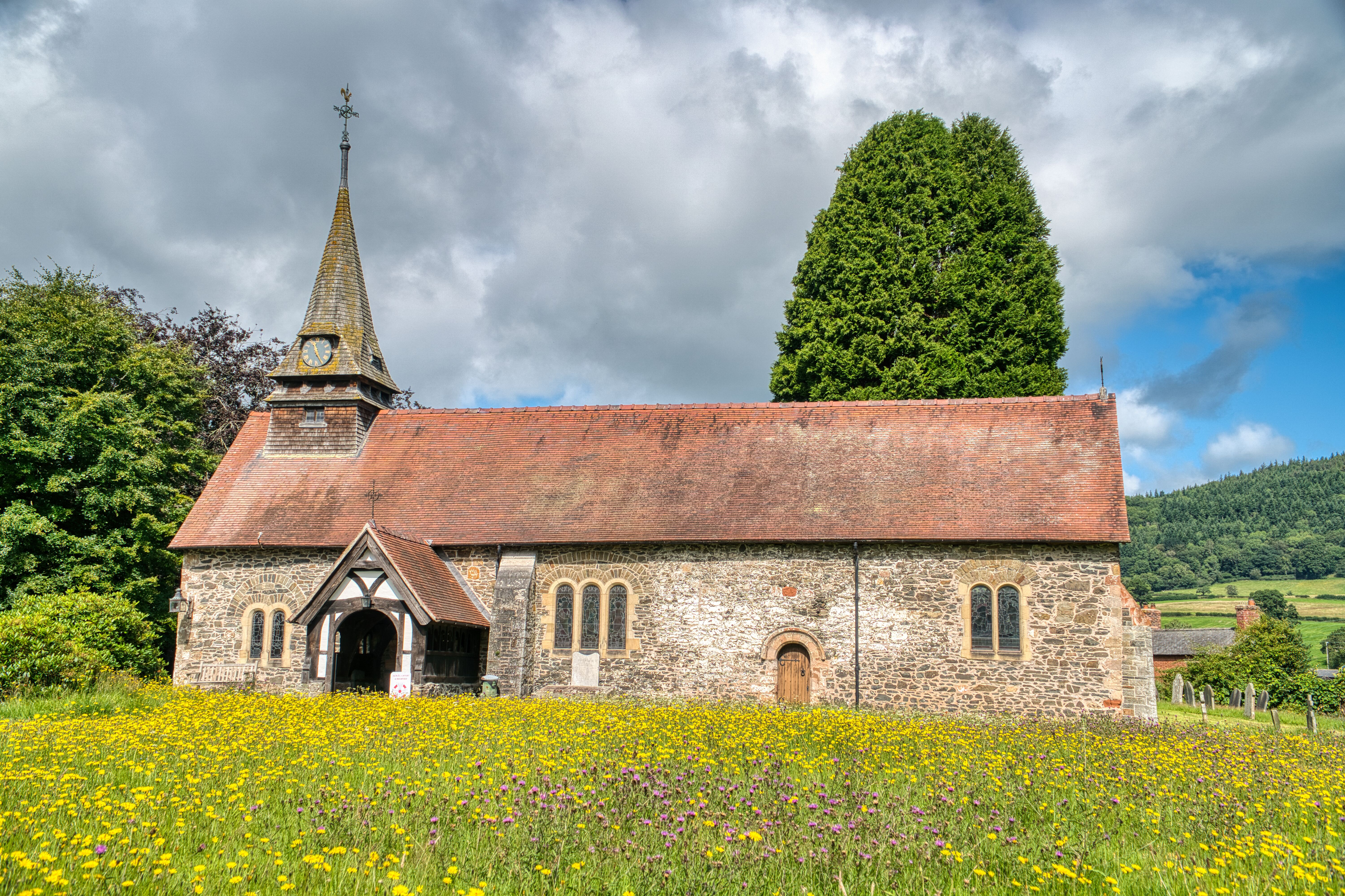
St Garmon's Church, Llanfechain
St Garmon's Church, Llanfechain, is in the village of Llanfechain, Powys, Wales. It is an active Anglican parish church in the deanery of Llanfyllin, the...
Battle of Mechain
The Battle of Mechain was fought in Powys, Wales, in 1070, for rule of the Welsh kingdoms of Gwynedd and Powys. The battlefield may be near Llanfechain...

Llanfyllin railway station
Llanfyllin railway station is the former terminal station of the Llanfyllin Branch of Cambrian Railways, which served the town of Llanfyllin in Powys,...
Nearby Amenities
Located within 500m of 52.748349,-3.221464Have you been to Bwlch y Cibau?
Leave your review of Bwlch y Cibau below (or comments, questions and feedback).