Bwlchycibau

Settlement in Montgomeryshire

Wales

Bwlchycibau

Junction of the A495 andA490
Junction of the A495 andA490 Credit: Steven Brown

The requested URL returned error: 429 Too Many Requests

If you have any feedback on the listing, please let us know in the comments section below.
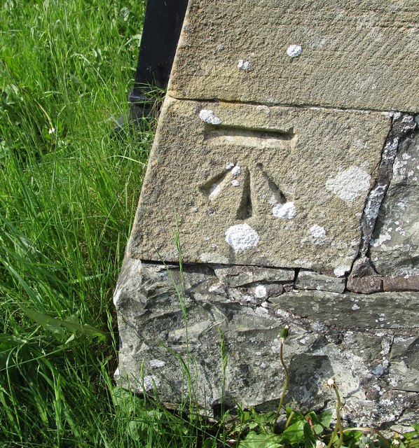
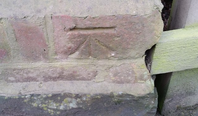
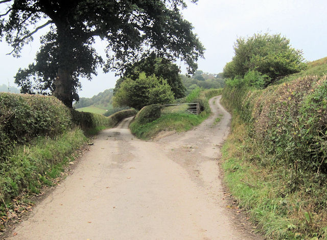
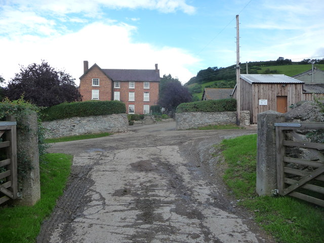
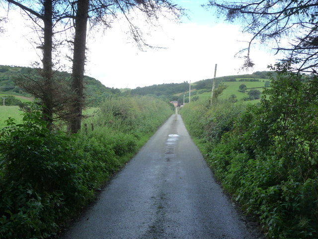
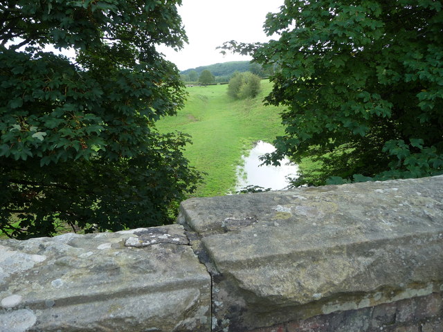
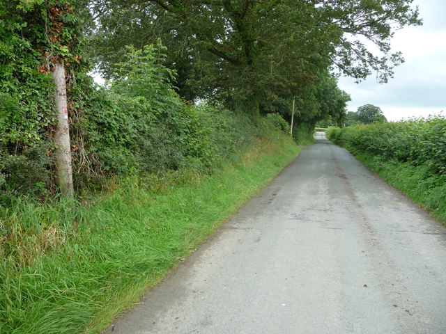
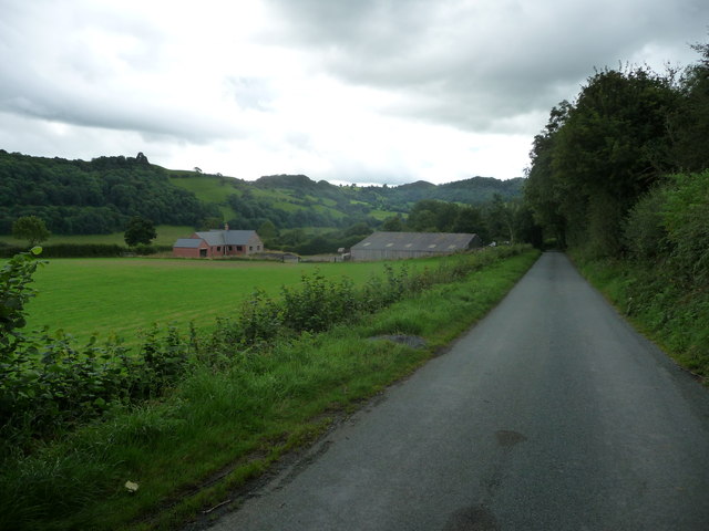
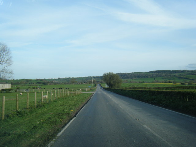
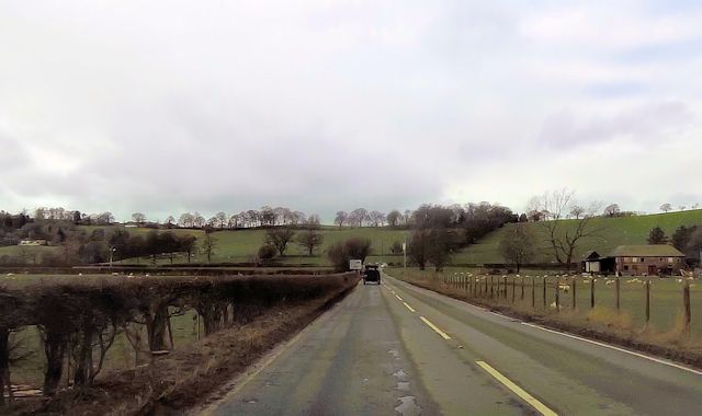
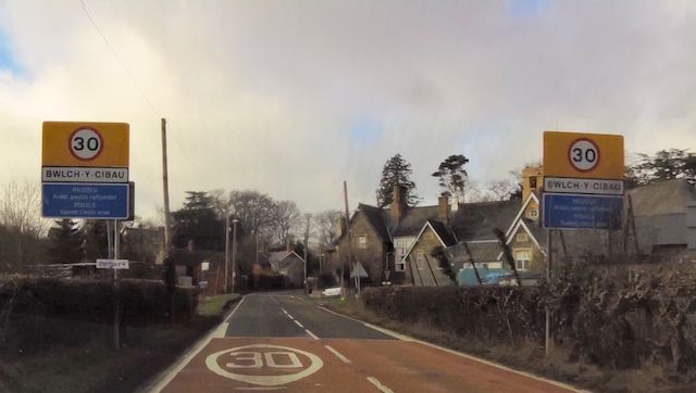
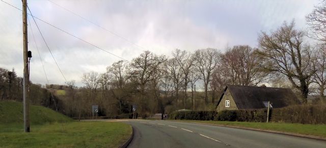
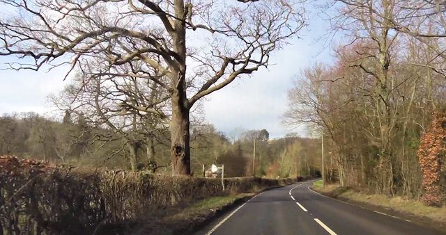
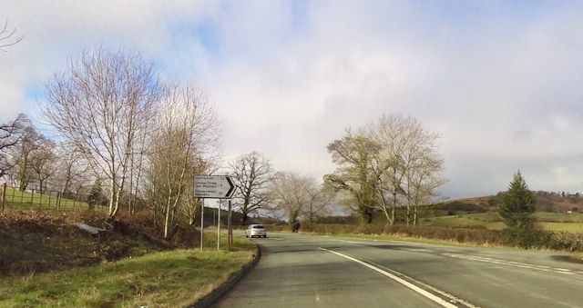
Bwlchycibau Images

Images are sourced within 2km of 52.748349/-3.221464 or Grid Reference SJ1717. Thanks to Geograph Open Source API. All images are credited.

Junction of the A495 andA490
Ordnance Survey Cut Mark This OS cut mark can be found on the south face of Christ Church. It marks a point 153.374m above mean sea level.
Ordnance Survey Cut Mark
This OS cut mark can be found on the south face of Christ Church. It marks a point 153.374m above mean sea level.
Ordnance Survey Cut Mark This OS cut mark can be found on the outbuilding at The Stumble Inn. It marks a point 152.038m above mean sea level.
Ordnance Survey Cut Mark
This OS cut mark can be found on the outbuilding at The Stumble Inn. It marks a point 152.038m above mean sea level.
Parting of the ways Fork junction close to Talwrn
Parting of the ways
Fork junction close to Talwrn
Green Hall farm near Llanfyllin Large dairy operation here, with farm house to match.
Green Hall farm near Llanfyllin
Large dairy operation here, with farm house to match.
Part of the long straight drive to Green Hall farm, Llanfyllin An epic length of drive or access lane.
Part of the long straight drive to Green Hall farm, Llanfyllin
An epic length of drive or access lane.
Course of dismantled railway across fields Green Hall farm Long vanished railway trackbed below, now grazed by cattle.
Course of dismantled railway across fields Green Hall farm
Long vanished railway trackbed below, now grazed by cattle.
Lane  near Allt y Gader near Llanfyllin A nondescript rural lane.

It contained the odd bit of roadkill of various size and species from snails and frogs to badger.
Lane near Allt y Gader near Llanfyllin
A nondescript rural lane. It contained the odd bit of roadkill of various size and species from snails and frogs to badger.
Incomplete new build opposite Tan-y-geulan No construction work has been going on here for some time.
Incomplete new build opposite Tan-y-geulan
No construction work has been going on here for some time.
A495 near Fferm
A495 near Fferm
A495 nearing the A490 junction
A490 near Ystym Colwyn farm
A490 at Ystum Colwyn A495 junction ahead
A490 at Ystum Colwyn
A495 junction ahead
A490 junction from A495
Entering Bwlch-y-Cibau
Leaving Bwlch-y-Cibau on A490
Start of footpath west of Bwlch-y-Cibau
Road junction at Stonehouse
Show me another place!

Bwlchycibau is located at Grid Ref: SJ1717 (Lat: 52.748349, Lng: -3.221464)

Unitary Authority: Powys

Police Authority: Dyfed Powys

Also known as: Bwlch-y-cibau, Bwlch y Cibau

What 3 Words

///stolen.contracts.pumps. Near Llanfechain, Powys

Related Wikis

Bwlch-y-cibau

Bwlch-y-Cibau also known as the "pass of the husks" in English, is a small village located between Llanfyllin and Welshpool. It is situated on the A490...

Bryngwyn Halt railway station

Bryngwyn Halt railway station is a disused station that was on the Llanfyllin Branch of the Cambrian Railways. It served the villages of Bwlch-y-cibau...
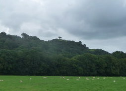
Lonely Tree

The Lonely Tree was a Scots pine on a hill near Llanfyllin, Powys, Wales. Visible from much of the town it was a local landmark with several traditions...

Allt-y-Main

Allt-y-Main is a hamlet in the community of Meifod, Powys, Wales, which is 86 miles (139 km) from Cardiff and 156 miles (252 km) from London. == References... ==

Nearby Amenities

Located within 500m of 52.748349,-3.221464
Man Made: water_tap
Lat/Long: 52.7483861/-3.2188699
Place: farm
Lat/Long: 52.7466509/-3.2242396
Building: yes
Lat/Long: 52.7471315/-3.2242825
Building: yes
Lat/Long: 52.7448064/-3.2185104
Entrance: yes
Lat/Long: 52.7484014/-3.2180195
Direction: 145
Generator Method: photovoltaic
Generator Output Electricity: yes
Generator Solar Modules: 16
Generator Source: solar
Generator Type: solar_photovoltaic_panel
Location: roof
Power: generator
Lat/Long: 52.7471096/-3.2201076
Direction: SE
Generator Method: photovoltaic
Generator Output Electricity: yes
Generator Solar Modules: 18
Generator Source: solar
Generator Type: solar_photovoltaic_panel
Location: roof
Power: generator
Lat/Long: 52.7471291/-3.2194957
Historic: memorial
Memorial: war_memorial
Lat/Long: 52.7484429/-3.2189534
Shelter
Shelter Type: public_transport
Lat/Long: 52.7483179/-3.2190781
Telephone
Defibrillator
Booth: KX100
Covered: booth
Defibrillator Location: inside phone box bybus shelter, Bwlch-y-cibau
Emergency: defibrillator
Man Made: telephone_box
Lat/Long: 52.7483617/-3.2191183
Post Box
Post Box Type: lamp
Lat/Long: 52.7483983/-3.2191451
The data included in this document is from www.openstreetmap.org. The data is made available under ODbL.

Have you been to Bwlchycibau?

Leave your review of Bwlchycibau below (or comments, questions and feedback).