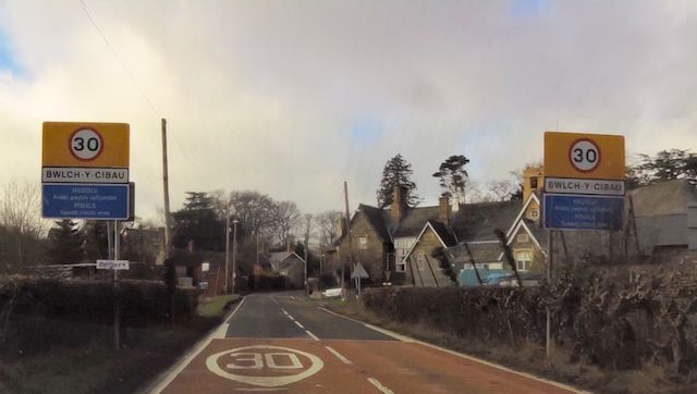
Bwlch-y-cibau
Settlement in Montgomeryshire
Wales
Bwlch-y-cibau

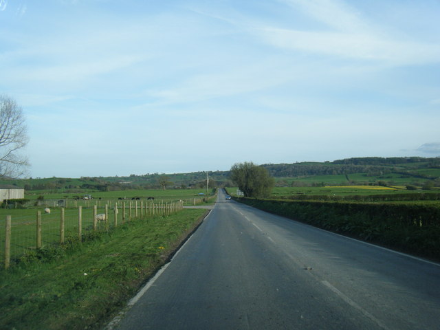
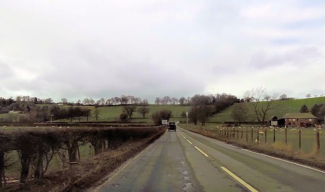
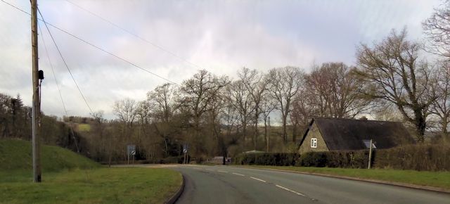
Bwlch-y-cibau is a small village located in the county of Montgomeryshire, Wales. Situated in the beautiful countryside, it is surrounded by rolling hills and breathtaking landscapes. The village is nestled between two valleys, offering stunning views to its residents and visitors alike.
Despite its small size, Bwlch-y-cibau has a rich history dating back centuries. The name of the village is derived from Welsh, with "Bwlch" meaning a pass or gap, and "cibau" referring to a type of tree. This suggests that the village was established in an area with a notable pass and an abundance of trees.
The village is home to a close-knit community, with a population of around 200 residents. It offers a peaceful and tranquil environment, away from the hustle and bustle of larger towns and cities. The residents of Bwlch-y-cibau take pride in maintaining the village's charm and natural beauty.
The surrounding area provides opportunities for outdoor activities and exploration. There are numerous walking trails and hikes that allow visitors to immerse themselves in the stunning scenery. In addition, the village is close to several natural landmarks, including the beautiful Lake Vyrnwy and the picturesque River Severn.
Although Bwlch-y-cibau is primarily a residential area, there are a few amenities available to its residents. These include a small community center, a local pub, and a primary school. For further services and amenities, residents typically travel to nearby towns such as Welshpool or Newtown.
Overall, Bwlch-y-cibau offers a charming and peaceful escape for those seeking a rural lifestyle amidst the beauty of the Montgomeryshire countryside.
If you have any feedback on the listing, please let us know in the comments section below.
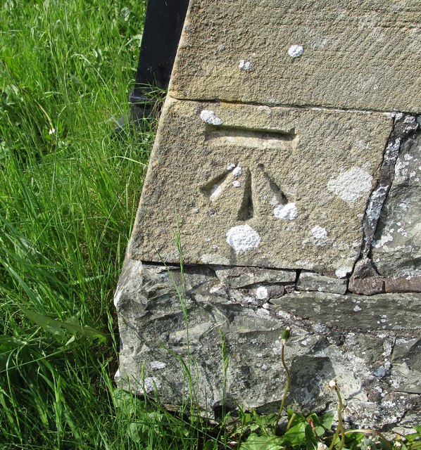
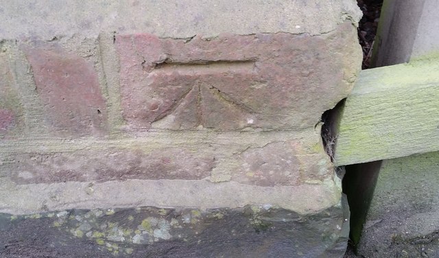
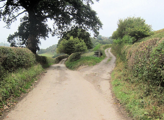
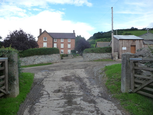
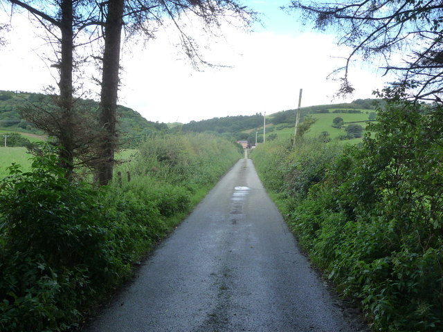
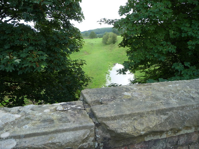
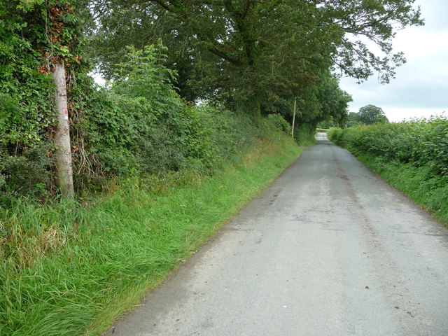
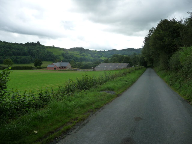
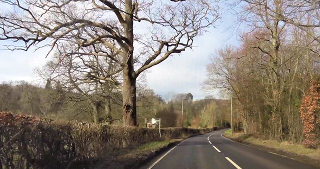
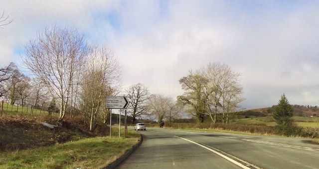
Bwlch-y-cibau Images
Images are sourced within 2km of 52.748349/-3.221464 or Grid Reference SJ1717. Thanks to Geograph Open Source API. All images are credited.


Bwlch-y-cibau is located at Grid Ref: SJ1717 (Lat: 52.748349, Lng: -3.221464)
Unitary Authority: Powys
Police Authority: Dyfed Powys
Also known as: Bwlch y Cibau, Bwlchycibau
What 3 Words
///stolen.contracts.pumps. Near Llanfechain, Powys
Nearby Locations
Related Wikis

Bwlch-y-cibau
Bwlch-y-Cibau also known as the "pass of the husks" in English, is a small village located between Llanfyllin and Welshpool. It is situated on the A490...

Bryngwyn Halt railway station
Bryngwyn Halt railway station is a disused station that was on the Llanfyllin Branch of the Cambrian Railways. It served the villages of Bwlch-y-cibau...
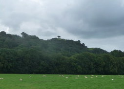
Lonely Tree
The Lonely Tree was a Scots pine on a hill near Llanfyllin, Powys, Wales. Visible from much of the town it was a local landmark with several traditions...
Allt-y-Main
Allt-y-Main is a hamlet in the community of Meifod, Powys, Wales, which is 86 miles (139 km) from Cardiff and 156 miles (252 km) from London. == References... ==

Llanfechain
Llanfechain is a village and community in Powys, Wales, on the B4393 road between Llanfyllin and Llansantffraid-ym-Mechain. Historically it belonged to...
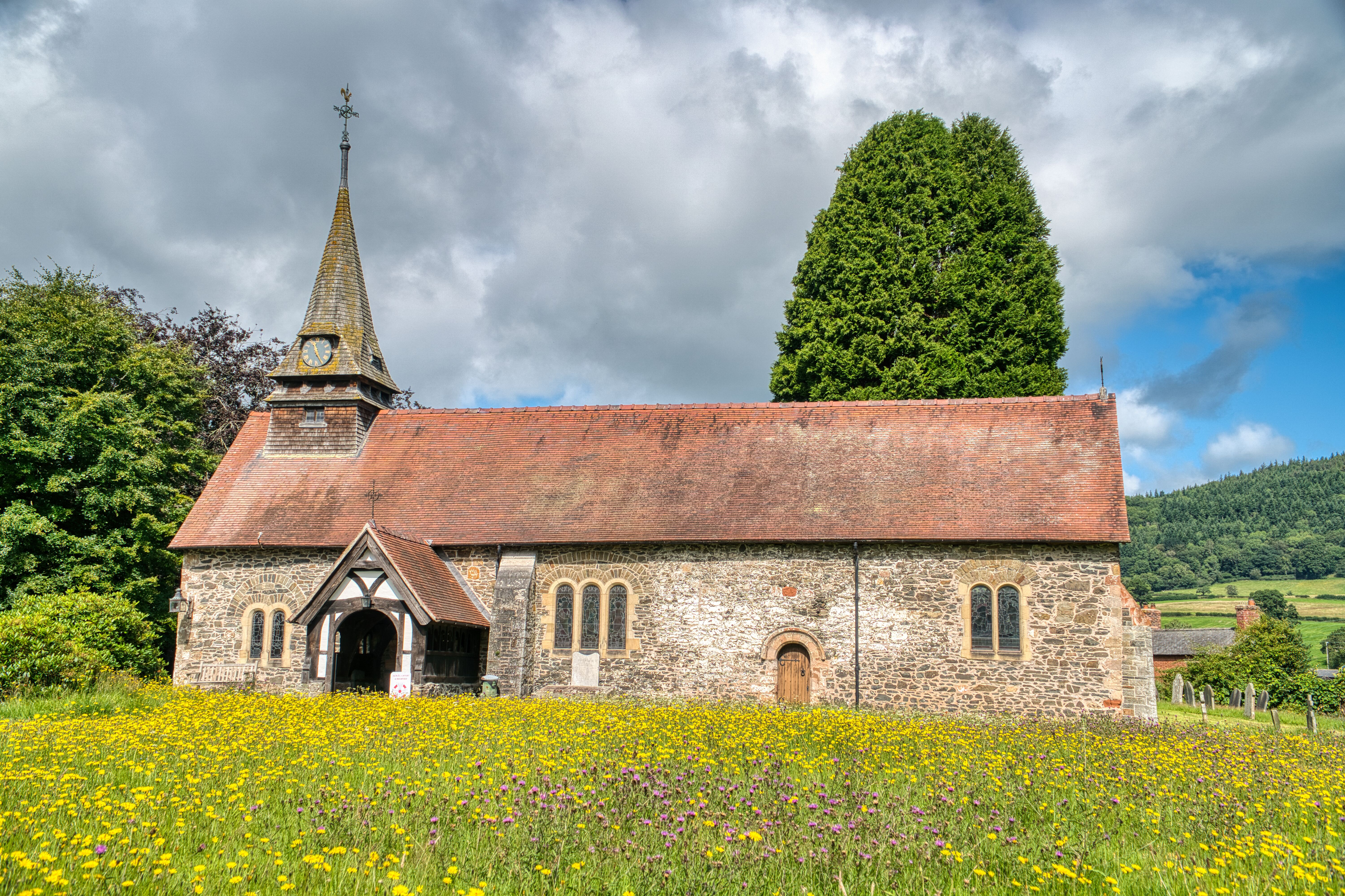
St Garmon's Church, Llanfechain
St Garmon's Church, Llanfechain, is in the village of Llanfechain, Powys, Wales. It is an active Anglican parish church in the deanery of Llanfyllin, the...
Battle of Mechain
The Battle of Mechain was fought in Powys, Wales, in 1070, for rule of the Welsh kingdoms of Gwynedd and Powys. The battlefield may be near Llanfechain...

Llanfyllin railway station
Llanfyllin railway station is the former terminal station of the Llanfyllin Branch of Cambrian Railways, which served the town of Llanfyllin in Powys,...
Nearby Amenities
Located within 500m of 52.748349,-3.221464Have you been to Bwlch-y-cibau?
Leave your review of Bwlch-y-cibau below (or comments, questions and feedback).