Buxted

Settlement in Sussex Wealdon

England

Buxted

Entering Buxted A 40 limit on the outskirts, then a 30 limit. On the right is the turning for Howbourne Lane, a no through road.
Entering Buxted Credit: Robin Webster

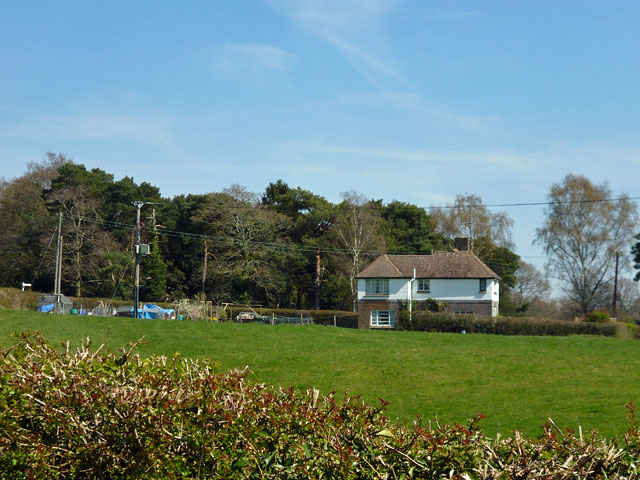
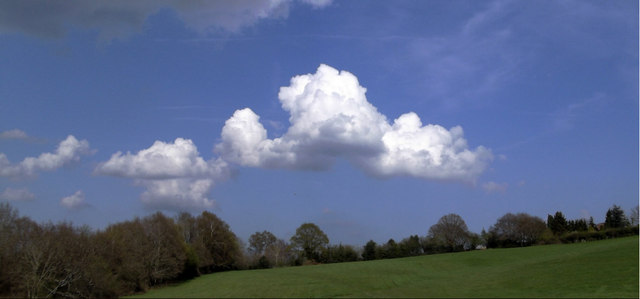
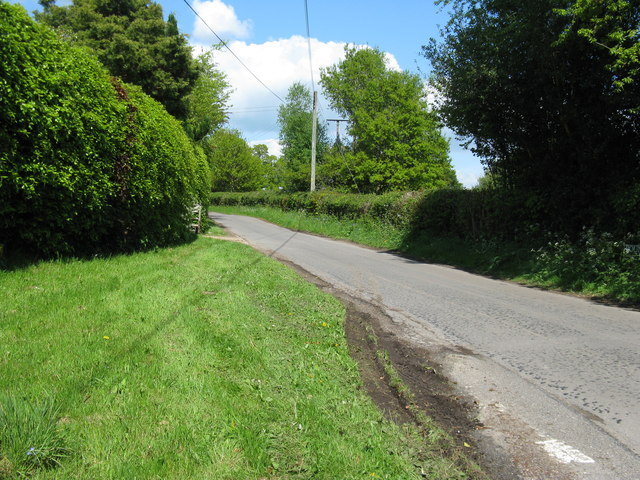
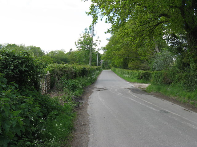
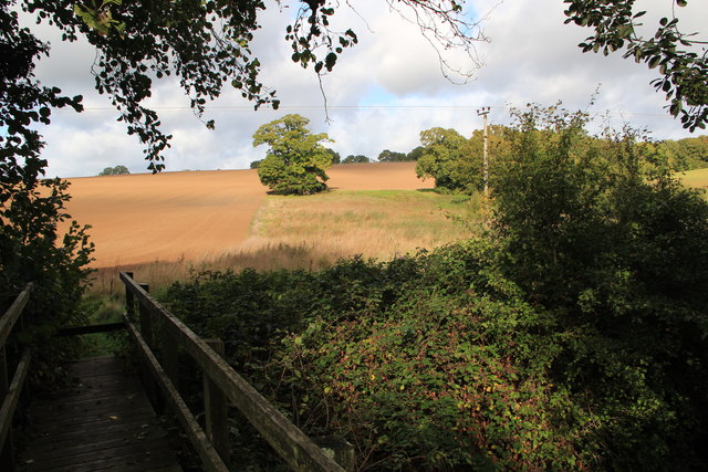
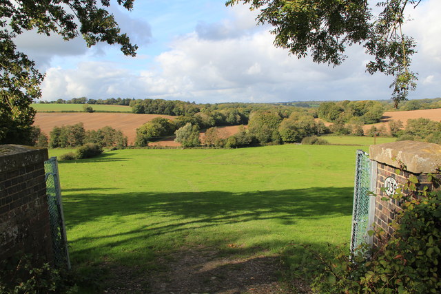
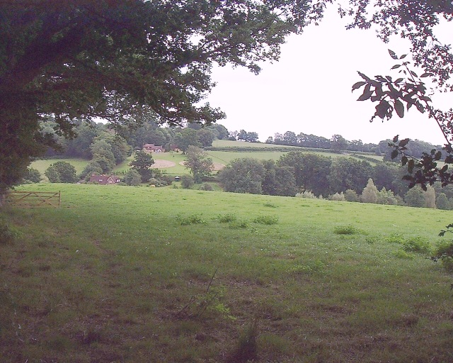
Buxted is a small village located in the Wealden district of East Sussex, England. Situated approximately 45 miles south of London, it lies within the High Weald Area of Outstanding Natural Beauty. The village is surrounded by picturesque countryside, with rolling hills, woodlands, and meandering streams.

Historically, Buxted has been inhabited since ancient times, with evidence of Roman and Saxon settlements in the area. The village's name is believed to derive from the Old English words "bucca" (meaning buck or male deer) and "stede" (meaning place).

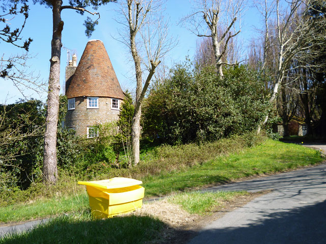
Buxted is home to a charming 12th-century church, St. Margaret's, which features stunning stained glass windows and a peaceful churchyard. The village also boasts several well-preserved timber-framed buildings, including the Old Rectory and the 16th-century Oast House.

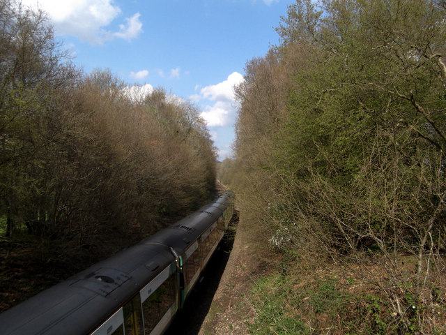
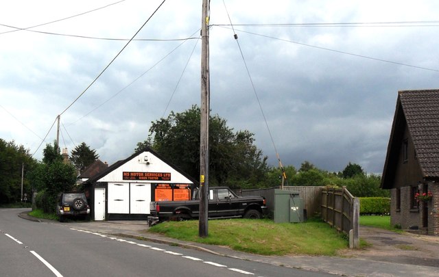
In terms of amenities, Buxted offers a range of local shops, pubs, and restaurants, providing residents with all the necessary conveniences. The village also has a primary school and a train station, making it easily accessible for commuters.

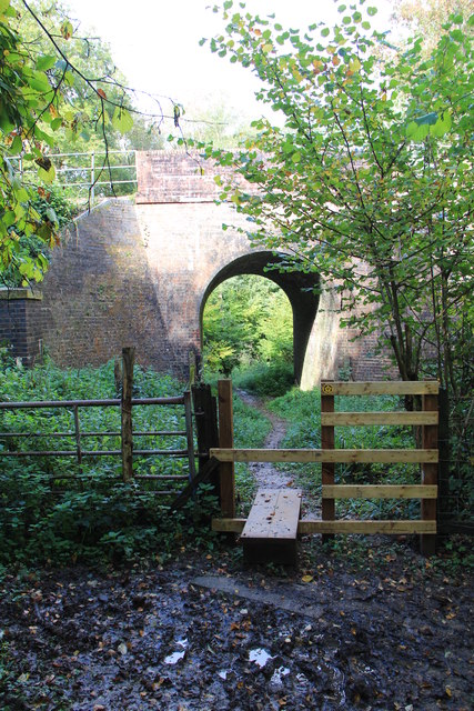
Nature enthusiasts will find plenty to explore in the surrounding countryside, with numerous walking trails and nature reserves nearby. Buxted is particularly renowned for its beautiful bluebell woods, which attract visitors from far and wide during springtime.

Overall, Buxted is a quintessential English village, offering a peaceful and picturesque setting amidst the natural beauty of Sussex. Its rich history, charming architecture, and proximity to nature make it an attractive place to live or visit.

If you have any feedback on the listing, please let us know in the comments section below.
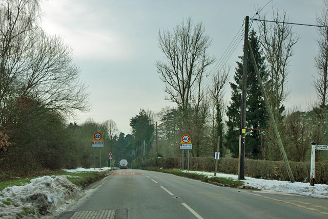
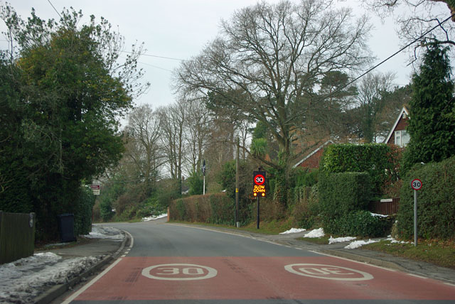
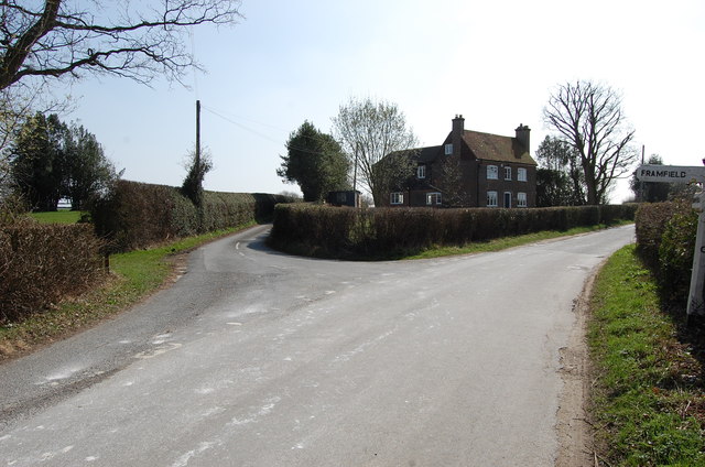
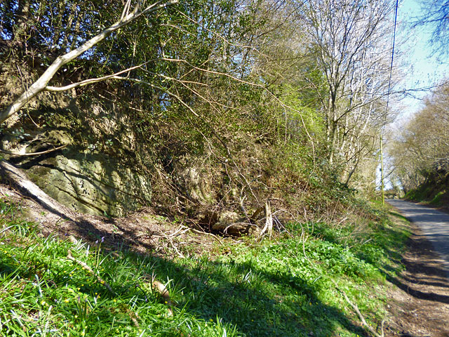
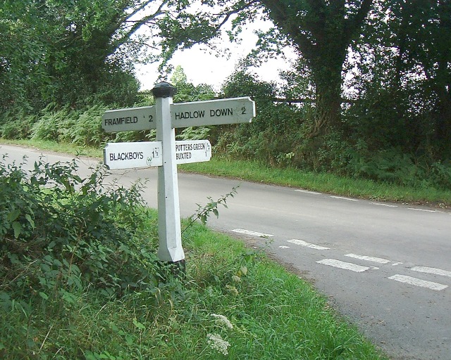
Buxted Images

Images are sourced within 2km of 50.989984/0.13438739 or Grid Reference TQ4923. Thanks to Geograph Open Source API. All images are credited.

Entering Buxted A 40 limit on the outskirts, then a 30 limit. On the right is the turning for Howbourne Lane, a no through road.
Entering Buxted
A 40 limit on the outskirts, then a 30 limit. On the right is the turning for Howbourne Lane, a no through road.
30 - slow down in Buxted Whoops! A bit too fast. It is easy to exceed the limit in this direction which is continuously downhill.
30 - slow down in Buxted
Whoops! A bit too fast. It is easy to exceed the limit in this direction which is continuously downhill.
Road junction near Popeswood Farm Rosers Common off to the left
Road junction near Popeswood Farm
Rosers Common off to the left
Rocky bank on Fowly Lane An Ardingly Sandstone exposure by the lane which passes though a sunken section on the hill up from a stream valley.
Rocky bank on Fowly Lane
An Ardingly Sandstone exposure by the lane which passes though a sunken section on the hill up from a stream valley.
House on Streele Lane The maps have this as Hobbs Barton Farm, but also use this term for farm buildings some way south down the lane by the house of Hobbs Barton.
House on Streele Lane
The maps have this as Hobbs Barton Farm, but also use this term for farm buildings some way south down the lane by the house of Hobbs Barton.
Converted oast house, Shepherd's Hill The grit bin is on a grass triangle at the junction of Pound Lane and Shepherds Hill.
Converted oast house, Shepherd's Hill
The grit bin is on a grass triangle at the junction of Pound Lane and Shepherds Hill.
Green field,Big cloud Looking uphill to the base of a growing cumulus cloud behind the horizon
Green field,Big cloud
Looking uphill to the base of a growing cumulus cloud behind the horizon
London Bound Looking from a pedestrian and agricultural bridge over the London-Uckfield line at the London bound train on its way.
London Bound
Looking from a pedestrian and agricultural bridge over the London-Uckfield line at the London bound train on its way.
Cloud form Cumulus cloud over a field in Wealden, East Sussex
Cloud form
Cumulus cloud over a field in Wealden, East Sussex
MS Motor Services, Pound Green near Buxted
Sign post for Nans Tuck Lane on Nans Tuck Lane On the southern edge of Buxted.
Sign post for Nans Tuck Lane on Nans Tuck Lane
On the southern edge of Buxted.
Unnamed road on the south side of Buxted The road provides a section of the Vanguard Way.
Unnamed road on the south side of Buxted
The road provides a section of the Vanguard Way.
Pound Green Lane north towards the A272
Rail Tunnel at Stones Rough This is where the Vanguard Way footpath crosses under the railway near Buxted
Rail Tunnel at Stones Rough
This is where the Vanguard Way footpath crosses under the railway near Buxted
Footbridge over River Uck Part of the Vanguard Way.  The Oak in the centre of the picture is hiding a pillbox.
Footbridge over River Uck
Part of the Vanguard Way. The Oak in the centre of the picture is hiding a pillbox.
View from rail bridge near Buxted Another version of previously published photographs looking northwest with the rail bridge walls in the foreground.
View from rail bridge near Buxted
Another version of previously published photographs looking northwest with the rail bridge walls in the foreground.
Crossroad sign Just south of Buxted
Crossroad sign
Just south of Buxted
Looking east from Vanguard Way The Vanguard Way stretches all the way from Croydon to Newhaven on the south coast. 68 miles passing through some of the best scenery in South East England. This view is towards Lower Lowlands farm next to the footpath joining Vanguard Way.
Looking east from Vanguard Way
The Vanguard Way stretches all the way from Croydon to Newhaven on the south coast. 68 miles passing through some of the best scenery in South East England. This view is towards Lower Lowlands farm next to the footpath joining Vanguard Way.
Show me another place!

Buxted is located at Grid Ref: TQ4923 (Lat: 50.989984, Lng: 0.13438739)

Administrative County: East Sussex

District: Wealdon

Police Authority: Sussex

What 3 Words

///trending.mural.lightbulb. Near Buxted, East Sussex

Related Wikis

Buxted railway station

Buxted railway station is on the Uckfield branch of the Oxted Line in England, serving the village of Buxted, East Sussex. It is 43 miles 68 chains (70...

Buxted

Buxted is a village and civil parish in the Wealden district of East Sussex in England. The parish is situated on the Weald, north of Uckfield; the settlements...

Etchingwood

Etchingwood is a small cluster of mostly detached properties and farms within the civil parish of Buxted in the Wealden district of East Sussex, England...

Vanguard Way

The Vanguard Way is a long-distance walk of 66.2 mi (106.5 km) from East Croydon station in outer London (OS grid reference TQ328658), travelling from...

St Margaret the Queen, Buxted

The Church of St Margaret the Queen is a grade I listed building in Buxted Park, East Sussex, England. It is dedicated to Saint Margaret of Scotland, an...

Cooper's Green

Cooper's Green is a village in the civil parish of Buxted in the Wealden district of East Sussex, England. Its nearest town is Uckfield, which lies approximately...

Five Ash Down

Five Ash Down is a small village within the civil parish of Buxted, in the Wealden district of East Sussex, England. Its nearest town is Uckfield, which...

Uckfield Baptist Church

Uckfield Baptist Church is a Baptist congregation based in the town of Uckfield in East Sussex, England. Although services now take place in a school...

Nearby Amenities

Located within 500m of 50.989984,0.13438739
Source: Landsat photo
Lat/Long: 50.9876134/0.130867
Source: Landsat photo
Lat/Long: 50.9912577/0.1316766
Buxted
Public Transport: stop_position
Railway: stop
Train: yes
Lat/Long: 50.9900567/0.1313543
Source: Landsat photo
Lat/Long: 50.9929833/0.1325026
Source: Landsat photo
Lat/Long: 50.9942238/0.1335392
Mini Roundabout
Direction: clockwise
Lat/Long: 50.9896554/0.1326444
Turning Circle
Source: Bing
Lat/Long: 50.9924748/0.1390781
Buxted
Place: village
Lat/Long: 50.9910365/0.135424
Bicycle Parking
Bicycle Parking: stands
Capacity: 10
Covered: yes
Lat/Long: 50.9899984/0.1314735
Post Box
Brand: Royal Mail
Brand Wikidata: Q638098
Brand Wikipedia: en:Royal Mail
Collection Times: Mo-Fr 17:00; Sa 10:30
Operator: Royal Mail
Operator Wikidata: Q638098
Post Box Type: pillar
Ref: TN22 64
Royal Cypher: EIIR
Royal Cypher Wikidata: Q33102113
Source: survey
Lat/Long: 50.9897748/0.1328911
Access: permissive
Barrier: swing_gate
Bicycle: yes
Foot: yes
Swing Gate Type: single
Lat/Long: 50.9879257/0.134636
Access: customers
Barrier: swing_gate
Bicycle: yes
Foot: yes
Lat/Long: 50.9892296/0.132086
Public Footpath
Information: guidepost
Tourism: information
Lat/Long: 50.9861078/0.1373087
Bus Stop
Buxted Gordon Road
Bus: yes
Public Transport: platform
Lat/Long: 50.9884624/0.135619
Public Footpath
Information: guidepost
Tourism: information
Lat/Long: 50.9860867/0.1372867
Buxted
Addr Postcode: TN22 4LA
Naptan AtcoCode: 9100BXTD
Network: National Rail
Network Website: https://www.nationalrail.co.uk/stations/bxd/
Network Wikidata: Q26334
Public Transport: station
Railway: station
Ref Crs: BXD
Source: Landsat photo
Train: yes
Wikidata: Q1997262
Wikipedia: en:Buxted railway station
Lat/Long: 50.9901183/0.1313783
Barrier: stile
Lat/Long: 50.9890484/0.1403066
Main Entrance
Entrance: yes
Lat/Long: 50.9888678/0.1378767
Bus Stop
Buxted Buxted Court
Bus: yes
Public Transport: platform
Lat/Long: 50.9889135/0.1375898
Addr Housenumber: 8
Building: house
Lat/Long: 50.992387/0.1373578
Public Footpath
Information: guidepost
Tourism: information
Lat/Long: 50.9909922/0.1393101
Bus Stop
Buxted Littlewood Lane
Bus: yes
Public Transport: platform
Lat/Long: 50.9912783/0.1402265
Lower Totease Farm
Place: farm
Lat/Long: 50.9876022/0.1343578
Barrier: kissing_gate
Lat/Long: 50.9872206/0.1392461
Footpath
Information: guidepost
Operator: East Sussex County Council
Tourism: information
Lat/Long: 50.9872645/0.1392274
Generator Method: photovoltaic
Generator Output Electricity: yes
Generator Source: solar
Generator Type: solar_photovoltaic_panel
Location: roof
Power: generator
Lat/Long: 50.9907386/0.1351216
Generator Method: photovoltaic
Generator Output Electricity: yes
Generator Source: solar
Generator Type: solar_photovoltaic_panel
Location: roof
Power: generator
Lat/Long: 50.9881571/0.1348762
Generator Method: photovoltaic
Generator Output Electricity: yes
Generator Source: solar
Generator Type: solar_photovoltaic_panel
Location: roof
Power: generator
Lat/Long: 50.9891533/0.133397
Generator Method: photovoltaic
Generator Output Electricity: yes
Generator Source: solar
Generator Type: solar_photovoltaic_panel
Location: roof
Power: generator
Lat/Long: 50.991993/0.1358861
Generator Method: photovoltaic
Generator Output Electricity: yes
Generator Source: solar
Generator Type: solar_photovoltaic_panel
Location: roof
Power: generator
Lat/Long: 50.9899738/0.1378414
Generator Method: photovoltaic
Generator Output Electricity: yes
Generator Source: solar
Generator Type: solar_photovoltaic_panel
Location: roof
Power: generator
Lat/Long: 50.9898354/0.137895
Generator Method: photovoltaic
Generator Output Electricity: yes
Generator Source: solar
Generator Type: solar_photovoltaic_panel
Location: roof
Power: generator
Lat/Long: 50.9889524/0.1386917
Generator Method: photovoltaic
Generator Output Electricity: yes
Generator Source: solar
Generator Type: solar_photovoltaic_panel
Location: roof
Power: generator
Lat/Long: 50.9878887/0.1363903
Generator Method: photovoltaic
Generator Output Electricity: yes
Generator Source: solar
Generator Type: solar_photovoltaic_panel
Location: roof
Power: generator
Lat/Long: 50.987811/0.136511
Barrier: stile
Lat/Long: 50.9862351/0.1369228
Crossing
Crossing: uncontrolled
Crossing Markings: zebra
Lat/Long: 50.9900485/0.1346466
The data included in this document is from www.openstreetmap.org. The data is made available under ODbL.

Have you been to Buxted?

Leave your review of Buxted below (or comments, questions and feedback).