Parsonage Wood

Wood, Forest in Sussex Wealden

England

Parsonage Wood

Entering Buxted A 40 limit on the outskirts, then a 30 limit. On the right is the turning for Howbourne Lane, a no through road.
Entering Buxted Credit: Robin Webster

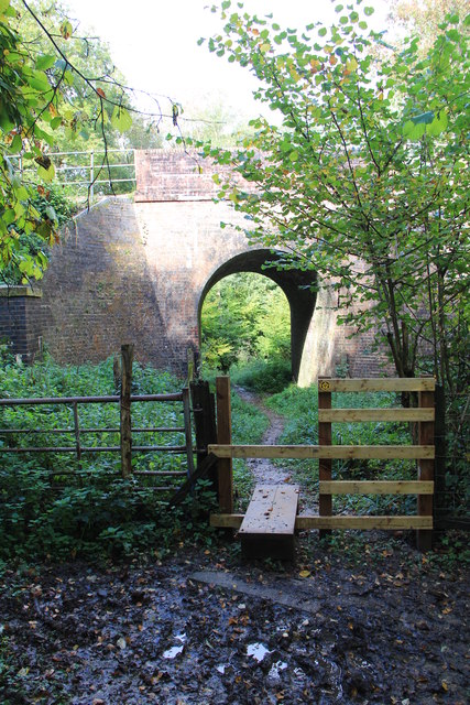
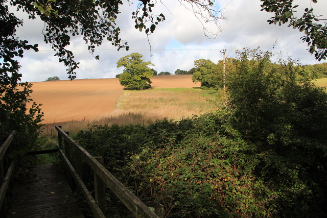
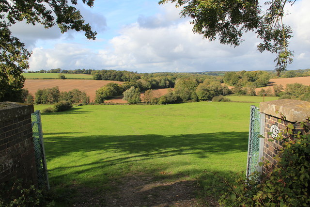
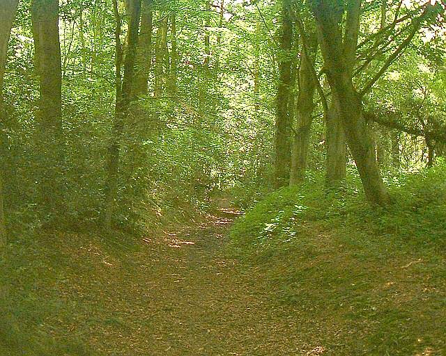
Parsonage Wood is a picturesque forest located in Sussex, England. Spanning over an area of approximately 100 acres, it is a popular destination for nature enthusiasts and hikers alike. The wood is characterized by its dense canopy of towering oak, beech, and chestnut trees, creating a peaceful and serene atmosphere.

The forest is home to a diverse range of flora and fauna, with a rich variety of wildflowers, ferns, and mosses carpeting the forest floor. Visitors can spot an array of wildlife, including deer, foxes, squirrels, and a wide variety of bird species. The forest also houses several rare and protected species, making it an important conservation area.

Parsonage Wood offers a network of well-maintained walking trails that wind through the forest, providing visitors with the opportunity to explore its natural beauty at their own pace. The trails lead to various points of interest, including a tranquil pond, where visitors can relax and enjoy the peaceful surroundings.

The wood is also steeped in history, with remnants of ancient settlements and burial sites dating back to the Neolithic period. Archaeological excavations have uncovered artifacts that provide valuable insights into the lives of the people who once lived in the area.

Parsonage Wood is easily accessible, with ample parking facilities and well-marked entrance points. It is open to the public throughout the year, offering a haven for nature lovers and an opportunity to immerse oneself in the beauty of the natural world.

If you have any feedback on the listing, please let us know in the comments section below.

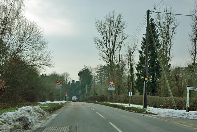
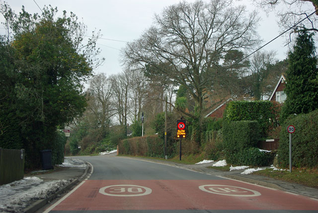
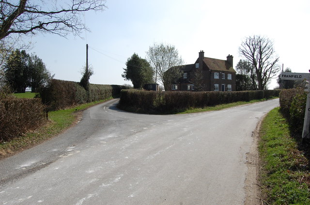
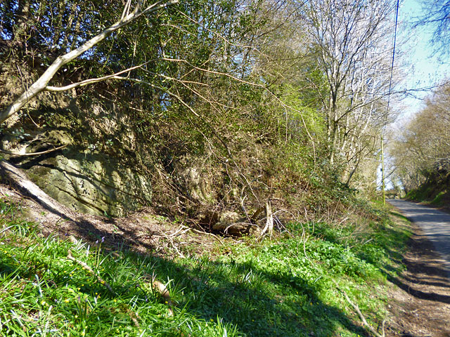
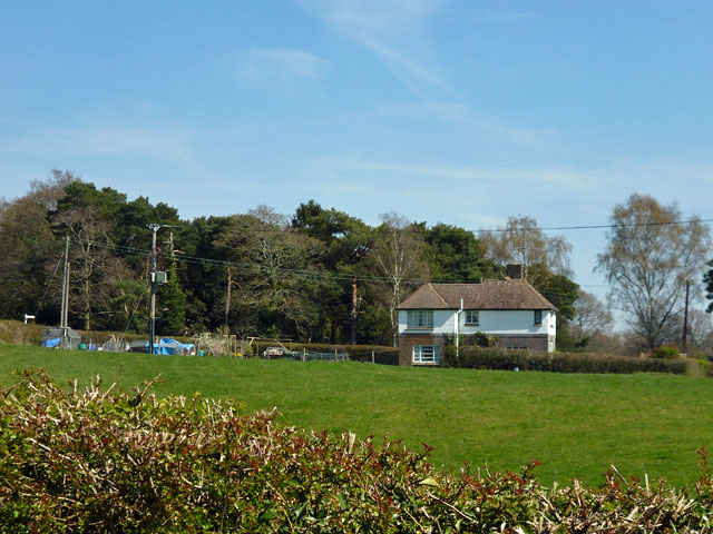
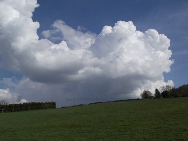
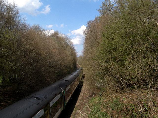
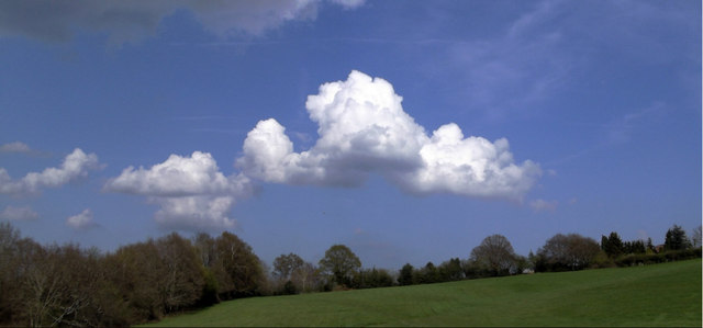
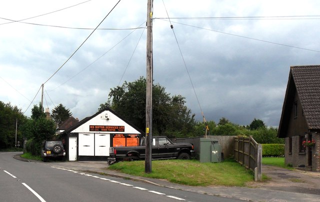
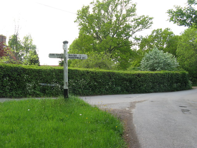
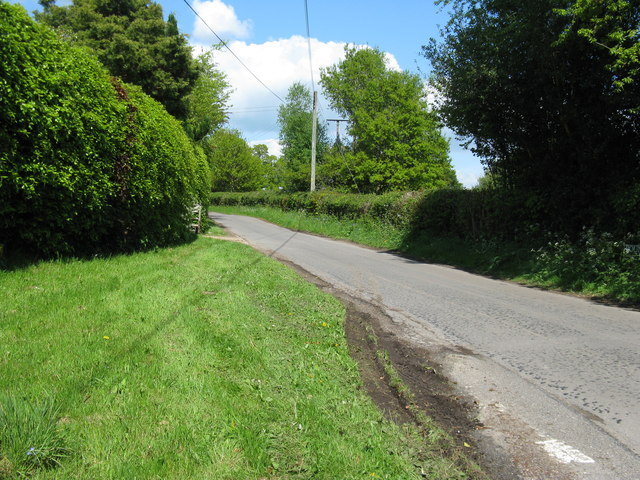
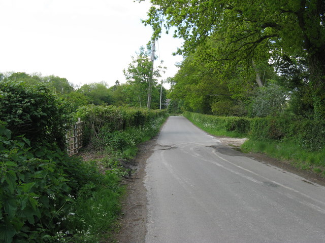
Parsonage Wood Images

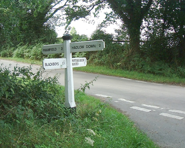
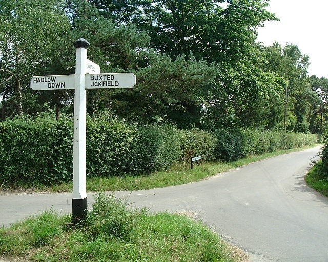
Images are sourced within 2km of 50.992906/0.12656959 or Grid Reference TQ4923. Thanks to Geograph Open Source API. All images are credited.

Entering Buxted A 40 limit on the outskirts, then a 30 limit. On the right is the turning for Howbourne Lane, a no through road.
Entering Buxted
A 40 limit on the outskirts, then a 30 limit. On the right is the turning for Howbourne Lane, a no through road.
30 - slow down in Buxted Whoops! A bit too fast. It is easy to exceed the limit in this direction which is continuously downhill.
30 - slow down in Buxted
Whoops! A bit too fast. It is easy to exceed the limit in this direction which is continuously downhill.
Road junction near Popeswood Farm Rosers Common off to the left
Road junction near Popeswood Farm
Rosers Common off to the left
Rocky bank on Fowly Lane An Ardingly Sandstone exposure by the lane which passes though a sunken section on the hill up from a stream valley.
Rocky bank on Fowly Lane
An Ardingly Sandstone exposure by the lane which passes though a sunken section on the hill up from a stream valley.
House on Streele Lane The maps have this as Hobbs Barton Farm, but also use this term for farm buildings some way south down the lane by the house of Hobbs Barton.
House on Streele Lane
The maps have this as Hobbs Barton Farm, but also use this term for farm buildings some way south down the lane by the house of Hobbs Barton.
Green field,Big cloud Looking uphill to the base of a growing cumulus cloud behind the horizon
Green field,Big cloud
Looking uphill to the base of a growing cumulus cloud behind the horizon
London Bound Looking from a pedestrian and agricultural bridge over the London-Uckfield line at the London bound train on its way.
London Bound
Looking from a pedestrian and agricultural bridge over the London-Uckfield line at the London bound train on its way.
Cloud form Cumulus cloud over a field in Wealden, East Sussex
Cloud form
Cumulus cloud over a field in Wealden, East Sussex
MS Motor Services, Pound Green near Buxted
Sign post for Nans Tuck Lane on Nans Tuck Lane On the southern edge of Buxted.
Sign post for Nans Tuck Lane on Nans Tuck Lane
On the southern edge of Buxted.
Unnamed road on the south side of Buxted The road provides a section of the Vanguard Way.
Unnamed road on the south side of Buxted
The road provides a section of the Vanguard Way.
Pound Green Lane north towards the A272
Rail Tunnel at Stones Rough This is where the Vanguard Way footpath crosses under the railway near Buxted
Rail Tunnel at Stones Rough
This is where the Vanguard Way footpath crosses under the railway near Buxted
Footbridge over River Uck Part of the Vanguard Way.  The Oak in the centre of the picture is hiding a pillbox.
Footbridge over River Uck
Part of the Vanguard Way. The Oak in the centre of the picture is hiding a pillbox.
View from rail bridge near Buxted Another version of previously published photographs looking northwest with the rail bridge walls in the foreground.
View from rail bridge near Buxted
Another version of previously published photographs looking northwest with the rail bridge walls in the foreground.
Crossroad sign Just south of Buxted
Crossroad sign
Just south of Buxted
Streele Lane direction Near a cluster of homes known as Etchingwood and looking south down Streele Lane
Streele Lane direction
Near a cluster of homes known as Etchingwood and looking south down Streele Lane
Woodland walk Some fine beeches in this piece of woodland on the Vanguard Way
Woodland walk
Some fine beeches in this piece of woodland on the Vanguard Way
Show me another place!

Parsonage Wood is located at Grid Ref: TQ4923 (Lat: 50.992906, Lng: 0.12656959)

Administrative County: East Sussex

District: Wealden

Police Authority: Sussex

What 3 Words

///supper.publisher.mainly. Near Buxted, East Sussex

Related Wikis

Buxted

Buxted is a village and civil parish in the Wealden district of East Sussex in England. The parish is situated on the Weald, north of Uckfield; the settlements...

Buxted railway station

Buxted railway station is on the Uckfield branch of the Oxted Line in England, serving the village of Buxted, East Sussex. It is 43 miles 68 chains (70...

St Margaret the Queen, Buxted

The Church of St Margaret the Queen is a grade I listed building in Buxted Park, East Sussex, England. It is dedicated to Saint Margaret of Scotland, an...

Cooper's Green

Cooper's Green is a village in the civil parish of Buxted in the Wealden district of East Sussex, England. Its nearest town is Uckfield, which lies approximately...

Five Ash Down

Five Ash Down is a small village within the civil parish of Buxted, in the Wealden district of East Sussex, England. Its nearest town is Uckfield, which...

Etchingwood

Etchingwood is a small cluster of mostly detached properties and farms within the civil parish of Buxted in the Wealden district of East Sussex, England...

Vanguard Way

The Vanguard Way is a long-distance walk of 66.2 mi (106.5 km) from East Croydon station in outer London (OS grid reference TQ328658), travelling from...

Buxted Park

Buxted Park is an 84.7 hectare (206.16 acre) biological Site of Special Scientific Interest, located near the village of Buxted, East Sussex, England....

Nearby Amenities

Located within 500m of 50.992906,0.12656959
Source: Landsat photo
Lat/Long: 50.9912577/0.1316766
Buxted
Public Transport: stop_position
Railway: stop
Train: yes
Lat/Long: 50.9900567/0.1313543
Source: Landsat photo
Lat/Long: 50.9929833/0.1325026
Bicycle Parking
Bicycle Parking: stands
Capacity: 10
Covered: yes
Lat/Long: 50.9899984/0.1314735
Buxted
Addr Postcode: TN22 4LA
Naptan AtcoCode: 9100BXTD
Network: National Rail
Network Website: https://www.nationalrail.co.uk/stations/bxd/
Network Wikidata: Q26334
Public Transport: station
Railway: station
Ref Crs: BXD
Source: Landsat photo
Train: yes
Wikidata: Q1997262
Wikipedia: en:Buxted railway station
Lat/Long: 50.9901183/0.1313783
Power: pole
Lat/Long: 50.9887177/0.1273996
Power: pole
Lat/Long: 50.9911945/0.1273701
Power: pole
Lat/Long: 50.9954505/0.121775
Power: pole
Lat/Long: 50.9952715/0.1227674
Power: pole
Lat/Long: 50.995074/0.1236954
Power: pole
Lat/Long: 50.9948782/0.124661
Power: pole
Lat/Long: 50.9946131/0.1260853
Power: pole
Lat/Long: 50.9943565/0.1273245
Power: pole
Lat/Long: 50.9940729/0.1287621
Power: pole
Lat/Long: 50.9938096/0.1300442
Power: pole
Lat/Long: 50.9928945/0.1280084
Power: pole
Lat/Long: 50.9935817/0.1282954
Power: pole
Lat/Long: 50.9940965/0.1291403
Power: pole
Lat/Long: 50.9948562/0.1303527
Power: pole
Lat/Long: 50.9956108/0.1315677
Public Footpath To Uckfield
Information: guidepost
Tourism: information
Lat/Long: 50.9894105/0.1249312
Footpath
Information: guidepost
Operator: East Sussex County Council
Tourism: information
Lat/Long: 50.9895719/0.1251659
Barrier: kissing_gate
Lat/Long: 50.9894096/0.1248917
The data included in this document is from www.openstreetmap.org. The data is made available under ODbL.

Have you been to Parsonage Wood?

Leave your review of Parsonage Wood below (or comments, questions and feedback).