Sedgy Wood
Wood, Forest in Sussex Wealden
England
Sedgy Wood
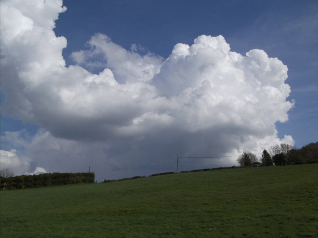
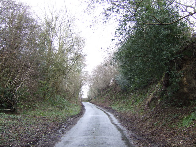
Sedgy Wood is a picturesque forest located in the county of Sussex, England. Covering an area of approximately 100 acres, this woodland is known for its diverse range of flora and fauna, making it a popular destination for nature enthusiasts and hikers.
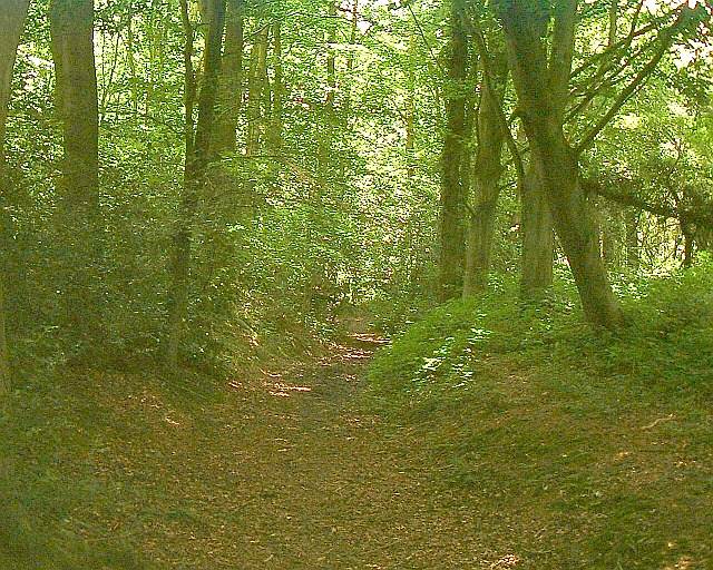
The forest is characterized by its dense canopy of towering trees, predominantly consisting of oak, beech, and ash. These ancient trees provide a habitat for a variety of bird species such as woodpeckers, owls, and nuthatches. The forest floor is adorned with a carpet of ferns, bluebells, and wild garlic during the spring season, adding to the enchanting atmosphere.
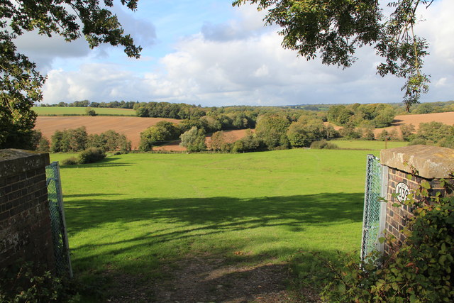
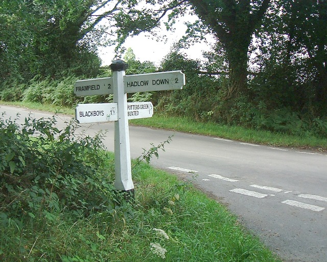
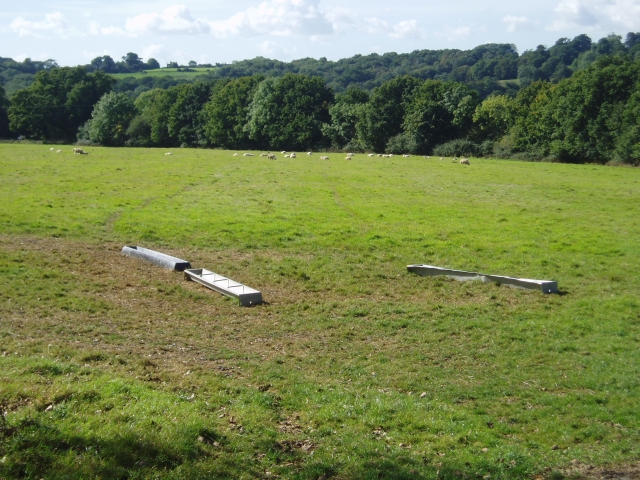
Sedgy Wood is crisscrossed by a network of well-maintained footpaths and trails, allowing visitors to explore its natural beauty. The trails lead to several viewpoints, providing panoramic vistas of the surrounding countryside. The wood is also home to a small lake, attracting a range of water birds and creating a tranquil setting for relaxation and reflection.
Managed by the local wildlife trust, Sedgy Wood is committed to preserving its natural habitat and biodiversity. The wood is regularly monitored and managed to ensure the health and longevity of its ecosystems. Visitors are encouraged to respect the environment and follow designated paths to minimize disruption to the wildlife.
Sedgy Wood offers a unique opportunity to escape the hustle and bustle of modern life and immerse oneself in the tranquility of nature. Whether it be a leisurely stroll, a birdwatching expedition, or simply a moment of solitude, this forest is a haven for those seeking a connection with the natural world.
If you have any feedback on the listing, please let us know in the comments section below.
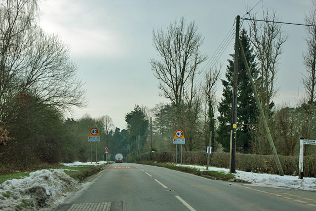
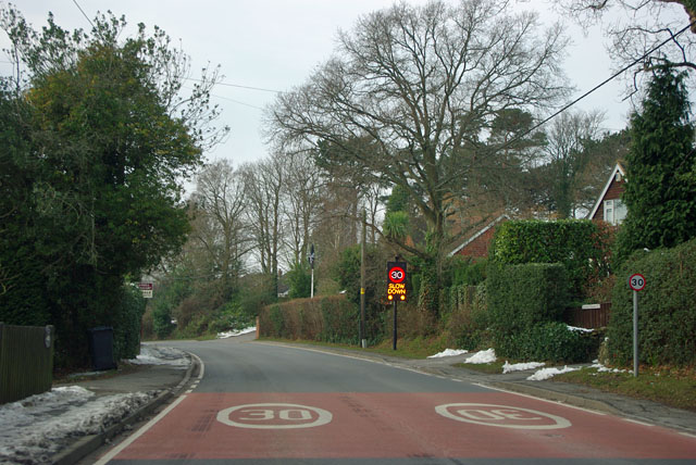
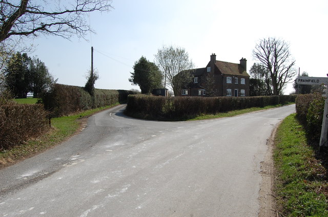
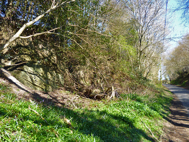
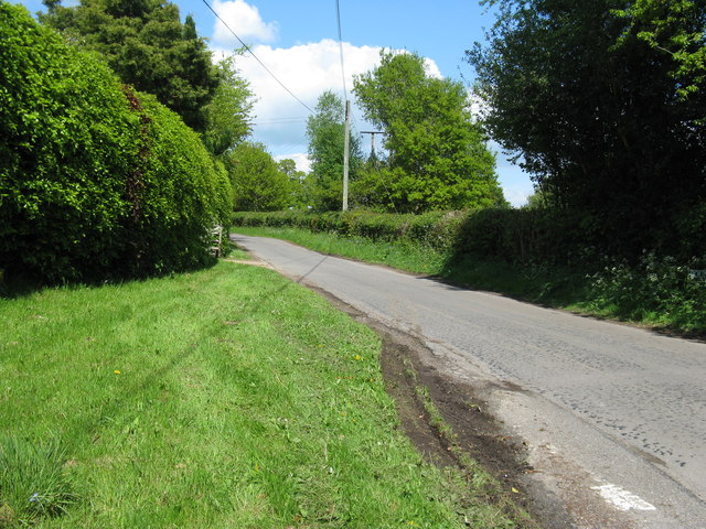
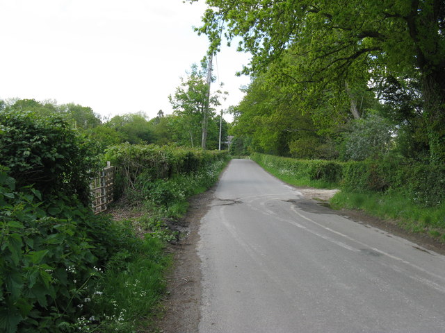
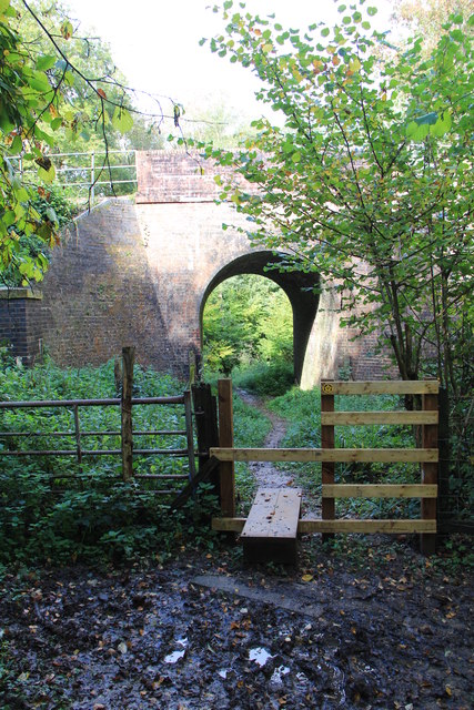
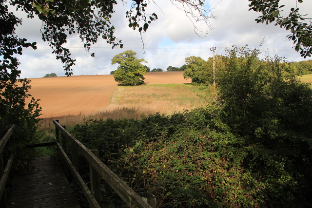
Sedgy Wood Images
Images are sourced within 2km of 50.994684/0.12819001 or Grid Reference TQ4923. Thanks to Geograph Open Source API. All images are credited.

Sedgy Wood is located at Grid Ref: TQ4923 (Lat: 50.994684, Lng: 0.12819001)
Administrative County: East Sussex
District: Wealden
Police Authority: Sussex
What 3 Words
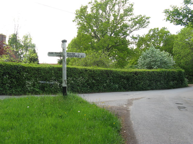
///outsiders.storybook.openings. Near Buxted, East Sussex
Nearby Locations
Related Wikis

Buxted
Buxted is a village and civil parish in the Wealden district of East Sussex in England. The parish is situated on the Weald, north of Uckfield; the settlements...

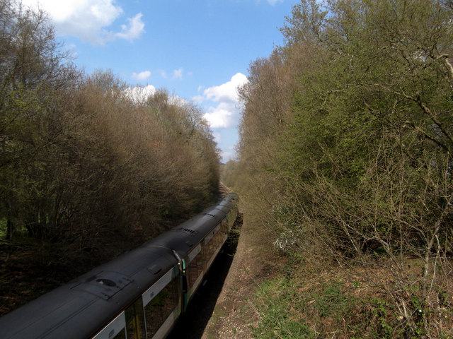
Buxted railway station
Buxted railway station is on the Uckfield branch of the Oxted Line in England, serving the village of Buxted, East Sussex. It is 43 miles 68 chains (70...

St Margaret the Queen, Buxted
The Church of St Margaret the Queen is a grade I listed building in Buxted Park, East Sussex, England. It is dedicated to Saint Margaret of Scotland, an...

Five Ash Down
Five Ash Down is a small village within the civil parish of Buxted, in the Wealden district of East Sussex, England. Its nearest town is Uckfield, which...

Cooper's Green
Cooper's Green is a village in the civil parish of Buxted in the Wealden district of East Sussex, England. Its nearest town is Uckfield, which lies approximately...

Etchingwood
Etchingwood is a small cluster of mostly detached properties and farms within the civil parish of Buxted in the Wealden district of East Sussex, England...
Vanguard Way
The Vanguard Way is a long-distance walk of 66.2 mi (106.5 km) from East Croydon station in outer London (OS grid reference TQ328658), travelling from...

Buxted Park
Buxted Park is an 84.7 hectare (206.16 acre) biological Site of Special Scientific Interest, located near the village of Buxted, East Sussex, England....
Related Videos

Walking Around my Local Area During Lockdown
Walking around my local area. I went to my local area and made myself a cup of coffee using the Jetboil Flash. My Channel: ...

Zempire Aero TXL Pro For Sale
For sale in East Sussex, great family tent. Reluctantly selling as have bought a Caravan.

Christmas Tree Festival
Every year the Holy Cross Church in the Sussex Village of Uckfield has a festival of Christmas trees. They are decorated by local ...

#Spearmint_Atlantic_Grey_Seal in the Ocean City January 2022 on #LOVE_SummerTime_TV
Spearmint_Atlantic_Grey_Seal in the Ocean City January 2022 on #LOVE_SummerTime_TV. She is about 18 months old and ...
Nearby Amenities
Located within 500m of 50.994684,0.12819001Have you been to Sedgy Wood?
Leave your review of Sedgy Wood below (or comments, questions and feedback).