Field Shaw
Wood, Forest in Sussex Wealden
England
Field Shaw

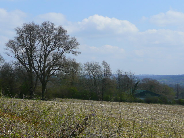
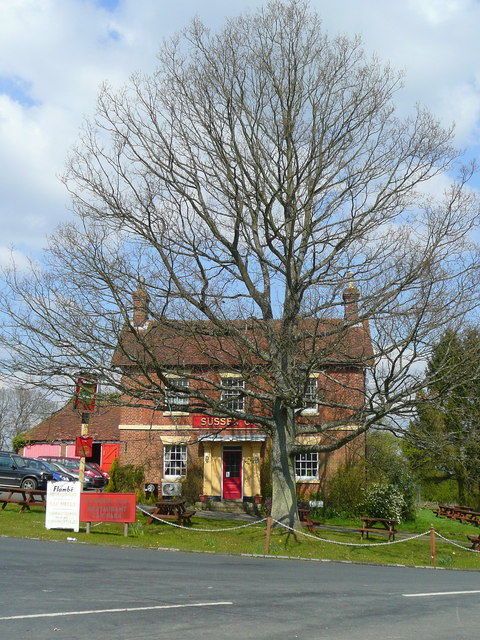
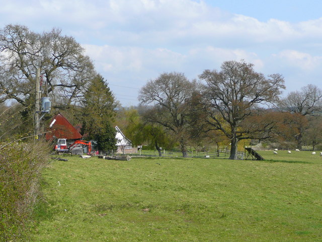
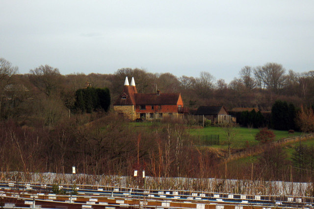
Field Shaw is a picturesque woodland area located in Sussex, England. Covering a vast expanse of land, it is known for its dense forest and natural beauty. The woodland is situated in close proximity to several quaint villages, adding to its charm and accessibility.
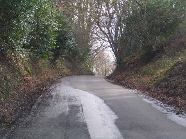
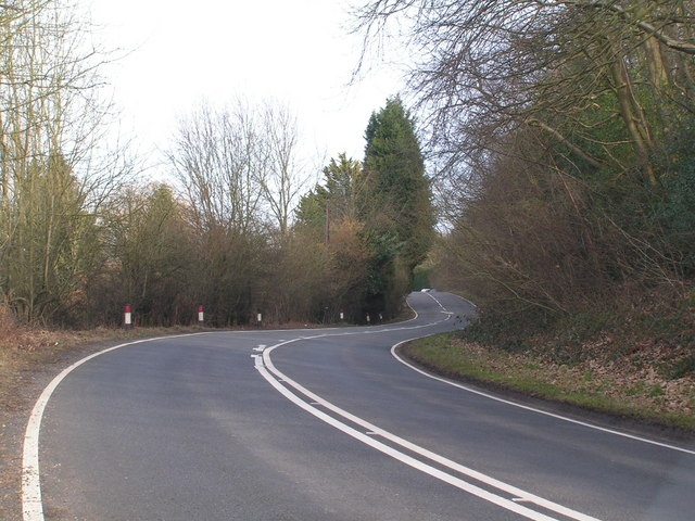
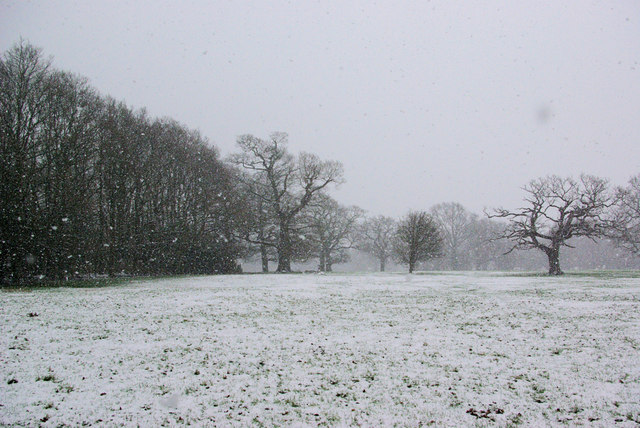
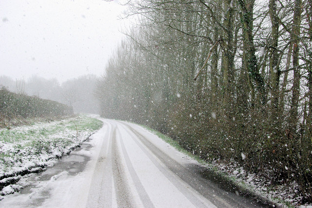
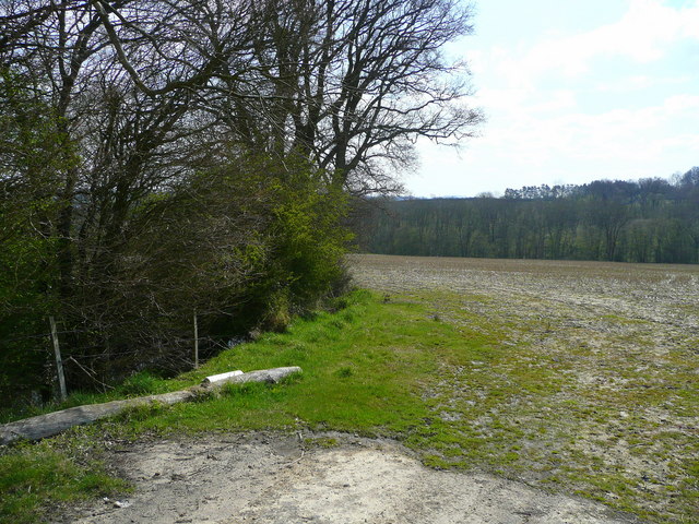
The woodland of Field Shaw is primarily composed of a variety of deciduous trees, including oak, beech, and birch. These towering trees create a dense canopy that filters sunlight, creating a peaceful and serene atmosphere within the forest. The woodland floor is covered in a lush carpet of ferns, moss, and wildflowers, adding to the overall beauty of the landscape.
The area is home to a diverse range of wildlife, making it a haven for nature enthusiasts. Visitors may spot various species of birds, such as woodpeckers, owls, and songbirds, along with small mammals like rabbits, squirrels, and foxes. Additionally, the woodland boasts a rich biodiversity, with an array of insects, butterflies, and other invertebrates inhabiting the area.
Field Shaw offers numerous trails and pathways, allowing visitors to explore the forest and immerse themselves in nature. These paths wind through the woodland, leading to hidden glades, babbling brooks, and scenic viewpoints. The forest is a popular destination for hiking, birdwatching, and photography, providing ample opportunities for outdoor enthusiasts to enjoy the natural surroundings.
Overall, Field Shaw in Sussex is a stunning woodland area that showcases the beauty of nature in all its glory. Its dense forest, diverse wildlife, and scenic trails make it a must-visit destination for anyone seeking a tranquil and immersive experience in the heart of nature.
If you have any feedback on the listing, please let us know in the comments section below.
Field Shaw Images
Images are sourced within 2km of 51.122074/0.13273943 or Grid Reference TQ4938. Thanks to Geograph Open Source API. All images are credited.


Field Shaw is located at Grid Ref: TQ4938 (Lat: 51.122074, Lng: 0.13273943)
Administrative County: East Sussex
District: Wealden
Police Authority: Sussex
What 3 Words
///roosters.turns.rattler. Near Groombridge, East Sussex
Nearby Locations
Related Wikis

Mills Rocks
Mills Rocks is a 1.9-hectare (4.7-acre) biological Site of Special Scientific Interest south-east of East Grinstead in West Sussex.This site has rock outcrops...

Blackham
Blackham is a village in the Wealden district of East Sussex. It lies within the Withyham civil parish. Its nearest town is Royal Tunbridge Wells, which...

Ashurst railway station
Ashurst railway station is on the Uckfield branch of the Oxted line in southern England and serves Ashurst in Kent (very close to the East Sussex border...
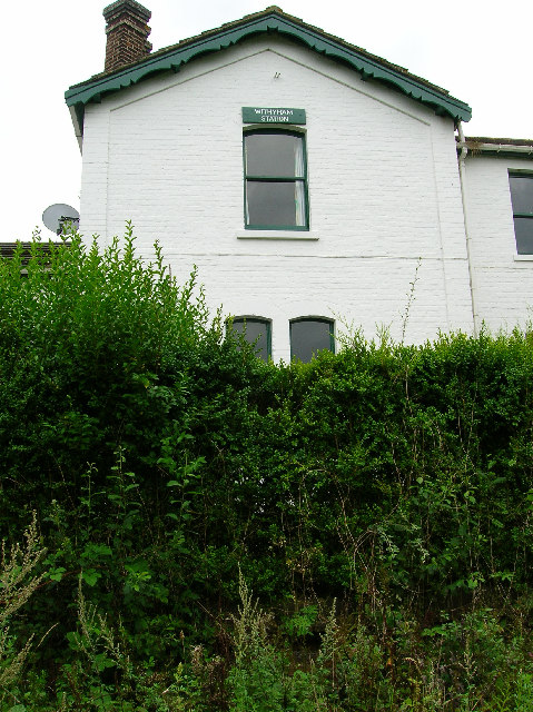
Withyham railway station
Withyham was a railway station on the Three Bridges to Tunbridge Wells Central Line which closed in 1967, a casualty of the Beeching Axe. The station opened...

Bolebroke Castle Miniature Railway
The Bolebroke Castle Miniature Railway or Bolebroke Castle and Lakes Railway (often abbreviated to BC&LR) was a 7+1⁄4 inches (180 mm) railway that ran...
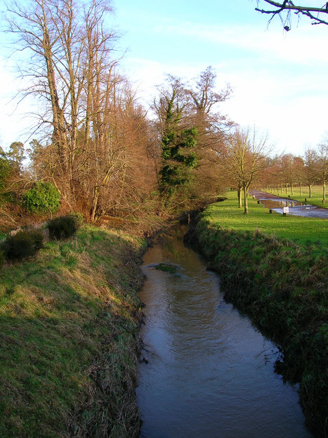
River Grom
The River Grom is a short tributary of the River Medway near Tunbridge Wells in south-east England. Flowing westwards through High Rocks and Groombridge...

Bolebroke Castle
Bolebroke Castle is a 15th-century hunting lodge located north of the village of Hartfield, East Sussex, England. It is a Grade II* listed building.The...

Arun Valley line
The Arun Valley line, also known as the Mid Sussex line, is part of the Southern- and Thameslink-operated railway services. For the initial part of the...
Nearby Amenities
Located within 500m of 51.122074,0.13273943Have you been to Field Shaw?
Leave your review of Field Shaw below (or comments, questions and feedback).