Lords Wood
Wood, Forest in Sussex Wealden
England
Lords Wood

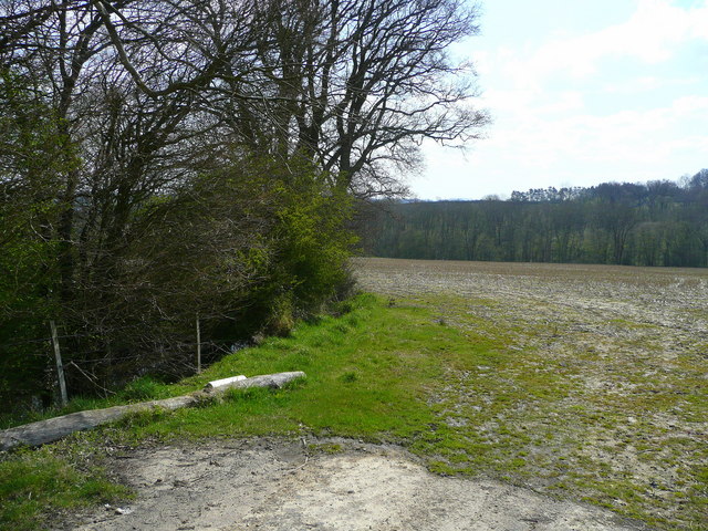
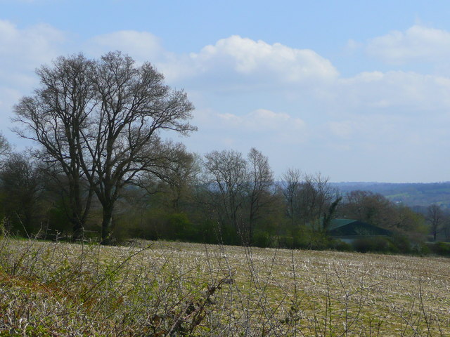
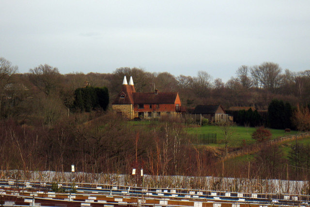
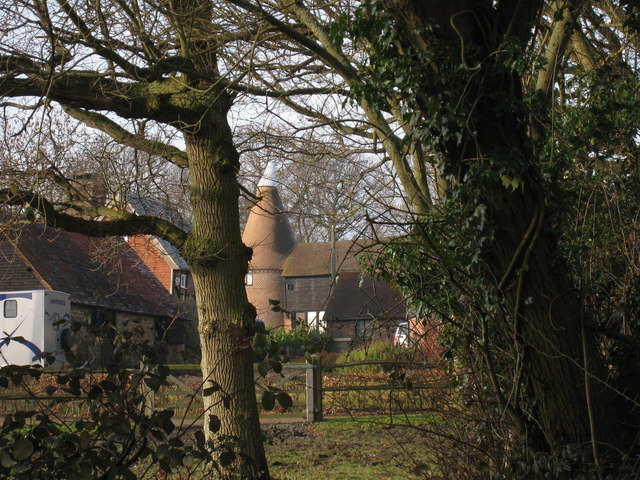
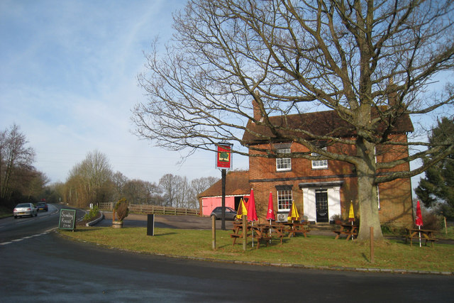
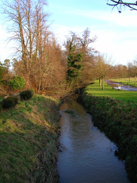
Lords Wood is a beautiful forest located in the county of Sussex, England. Spanning over a vast area, it is renowned for its rich biodiversity and picturesque landscapes. The wood is situated near the village of Hurstpierpoint, providing a tranquil escape from the bustling city life.
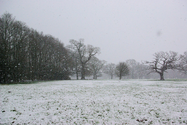
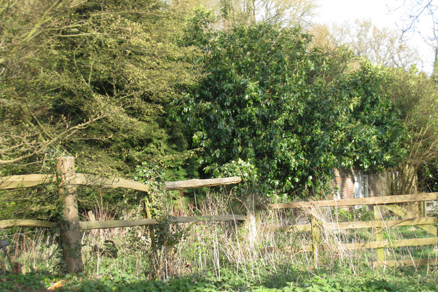
The forest is primarily composed of broadleaf trees, including oak, beech, and ash, which create a dense canopy overhead. These towering trees offer shade and shelter to a plethora of wildlife species that call Lords Wood their home. It is common to spot various bird species, such as woodpeckers and owls, flitting between the branches, and small mammals like squirrels and foxes scurrying about on the forest floor.
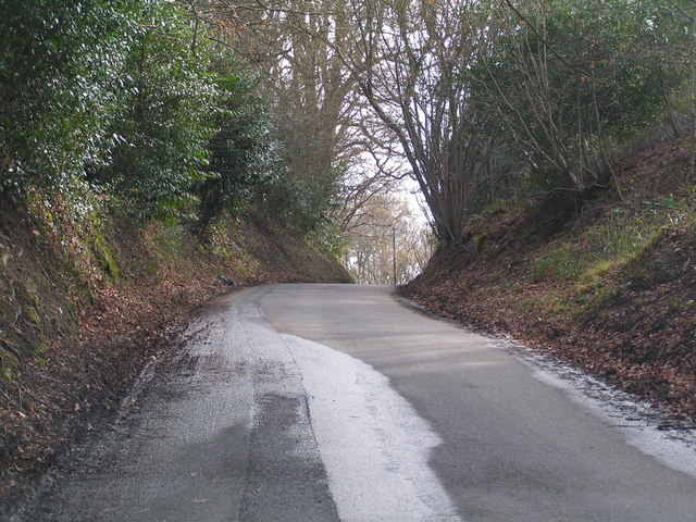
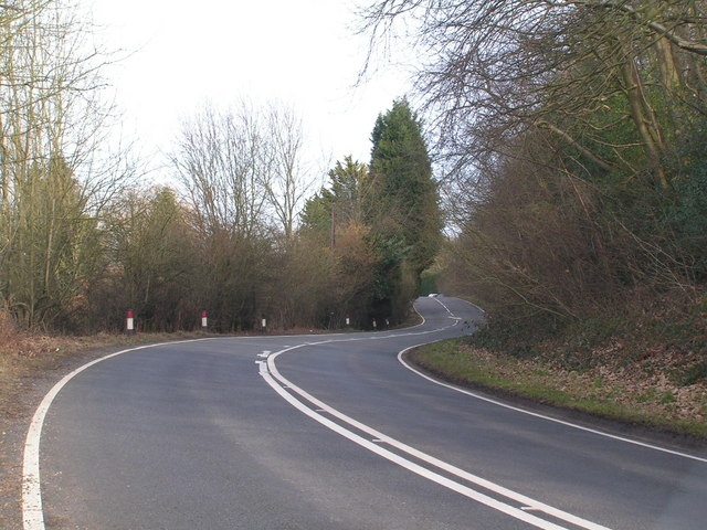
The wood boasts a network of well-maintained walking trails, allowing visitors to explore its natural wonders at their own pace. These paths wind through the forest, passing by babbling brooks, vibrant wildflowers, and ancient stone walls that add to the area's historic charm. The serene atmosphere and pristine surroundings make Lords Wood a favorite destination for hikers, nature enthusiasts, and photographers.
The forest is also a designated Site of Special Scientific Interest (SSSI), highlighting its importance for conservation. It supports a diverse range of plant species, including bluebells, primroses, and ferns, which carpet the forest floor during the spring season. This abundance of flora attracts a myriad of insects, contributing to the wood's ecological significance.
Overall, Lords Wood stands as a hidden gem in Sussex, offering visitors a chance to reconnect with nature and experience the beauty of a traditional English woodland.
If you have any feedback on the listing, please let us know in the comments section below.
Lords Wood Images
Images are sourced within 2km of 51.124188/0.13815305 or Grid Reference TQ4938. Thanks to Geograph Open Source API. All images are credited.


Lords Wood is located at Grid Ref: TQ4938 (Lat: 51.124188, Lng: 0.13815305)
Administrative County: East Sussex
District: Wealden
Police Authority: Sussex
What 3 Words
///forced.residual.backfired. Near Groombridge, East Sussex
Nearby Locations
Related Wikis

Ashurst railway station
Ashurst railway station is on the Uckfield branch of the Oxted line in southern England and serves Ashurst in Kent (very close to the East Sussex border...

Blackham
Blackham is a village in the Wealden district of East Sussex. It lies within the Withyham civil parish. Its nearest town is Royal Tunbridge Wells, which...
River Grom
The River Grom is a short tributary of the River Medway near Tunbridge Wells in south-east England. Flowing westwards through High Rocks and Groombridge...

Mills Rocks
Mills Rocks is a 1.9-hectare (4.7-acre) biological Site of Special Scientific Interest south-east of East Grinstead in West Sussex.This site has rock outcrops...

Arun Valley line
The Arun Valley line, also known as the Mid Sussex line, is part of the Southern- and Thameslink-operated railway services. For the initial part of the...
Withyham railway station
Withyham was a railway station on the Three Bridges to Tunbridge Wells Central Line which closed in 1967, a casualty of the Beeching Axe. The station opened...

Bolebroke Castle Miniature Railway
The Bolebroke Castle Miniature Railway or Bolebroke Castle and Lakes Railway (often abbreviated to BC&LR) was a 7+1⁄4 inches (180 mm) railway that ran...
Ashurst, Kent
Ashurst is a village and former civil parish, now in the parish of Speldhurst, in the Tunbridge Wells district, in the county of Kent, England. It is 5...
Nearby Amenities
Located within 500m of 51.124188,0.13815305Have you been to Lords Wood?
Leave your review of Lords Wood below (or comments, questions and feedback).