Taylor's Shaw

Wood, Forest in Sussex Wealden

England

Taylor's Shaw

Entering Buxted A 40 limit on the outskirts, then a 30 limit. On the right is the turning for Howbourne Lane, a no through road.
Entering Buxted Credit: Robin Webster

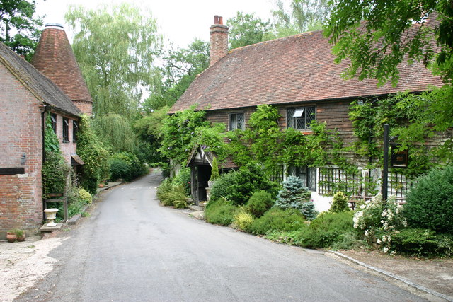
Taylor's Shaw is a serene woodland located in the county of Sussex, England. Nestled within the picturesque countryside, this enchanting forest spans across a vast expanse, offering visitors a tranquil retreat from the bustling city life. The woodland is named after Taylor, a local resident who played a significant role in its preservation.

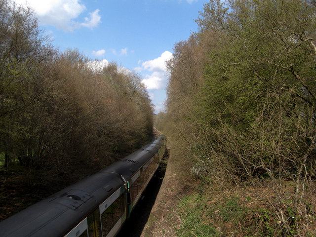
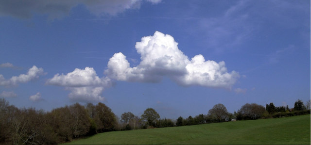
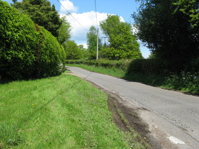
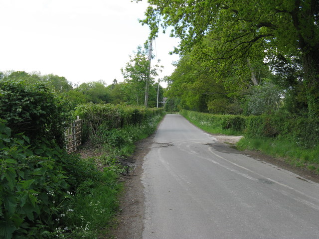
Covered in a lush canopy of trees, Taylor's Shaw exudes a sense of calm and natural beauty. The forest is predominantly composed of a variety of native species, including oak, beech, and birch, which create a diverse and vibrant ecosystem. The dense foliage provides a sanctuary for numerous bird species, making it an ideal spot for birdwatching enthusiasts.

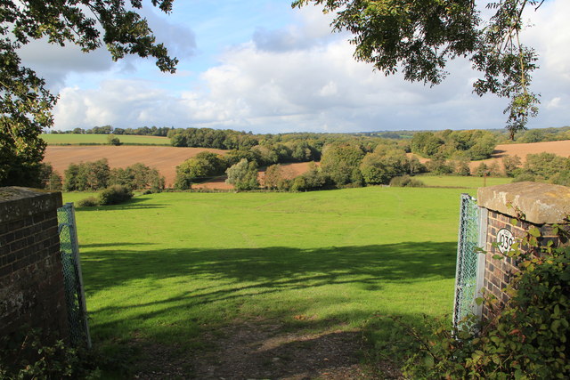
Walking through the forest, visitors are treated to a symphony of sounds, from the rustling leaves underfoot to the melodies of chirping birds. The forest floor is adorned with a tapestry of wildflowers, adding splashes of color to the serene green landscape.

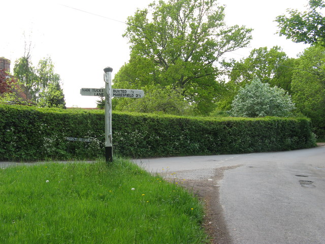
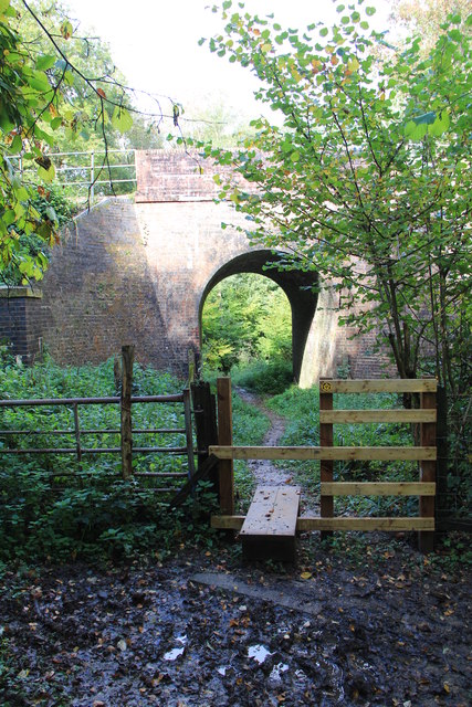
Taylor's Shaw also boasts a network of well-maintained trails, allowing visitors to explore the forest at their own pace. These paths wind through the woodland, leading adventurers to hidden clearings and peaceful streams. Nature enthusiasts can revel in the opportunity to spot wildlife such as deer, rabbits, and squirrels that call this forest their home.

With its serene ambiance and abundant natural beauty, Taylor's Shaw is a haven for those seeking solace in nature. Whether it's a leisurely stroll, a picnic amidst the trees, or simply an escape from the daily grind, this enchanting woodland offers an idyllic retreat for visitors of all ages.

If you have any feedback on the listing, please let us know in the comments section below.

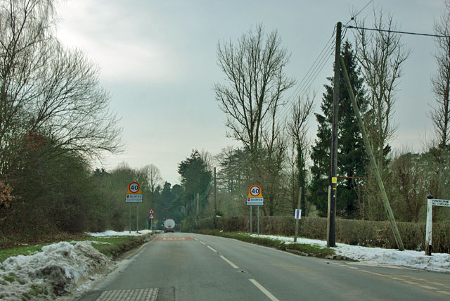
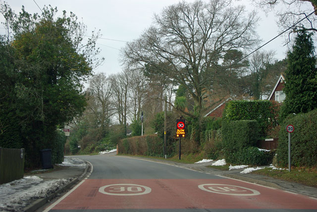
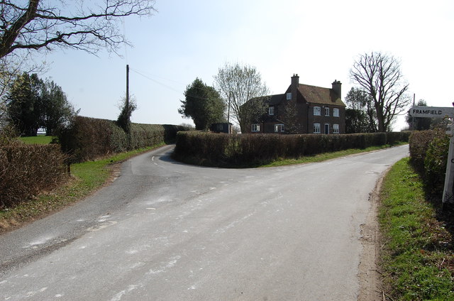
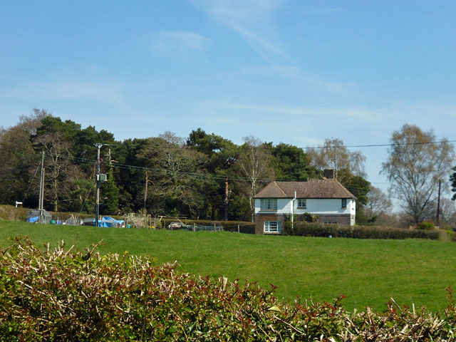
Taylor's Shaw Images

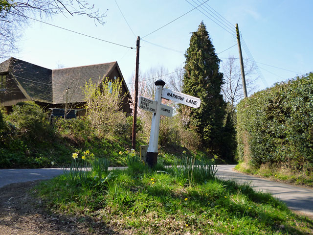
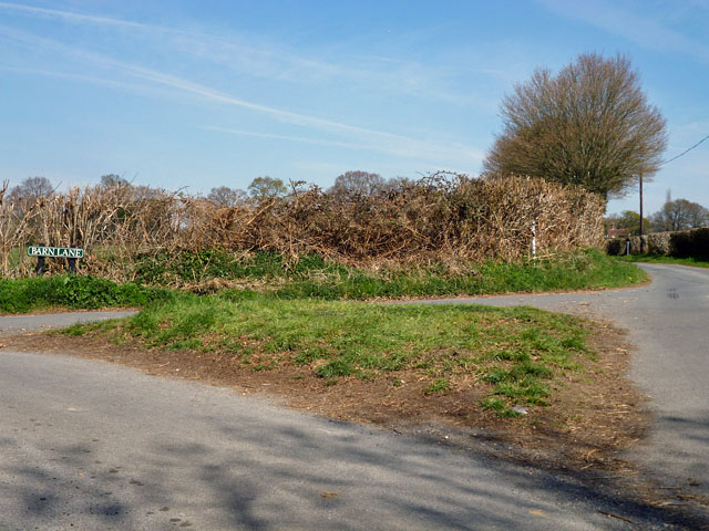
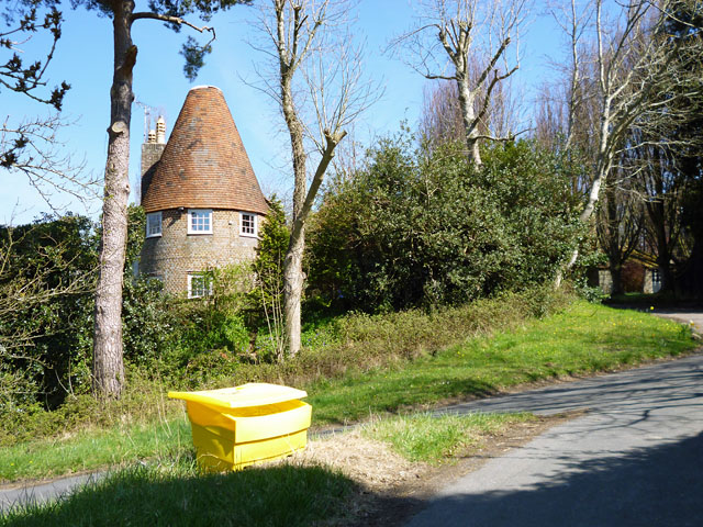
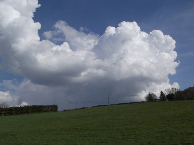
Images are sourced within 2km of 50.985453/0.1318428 or Grid Reference TQ4922. Thanks to Geograph Open Source API. All images are credited.

Entering Buxted A 40 limit on the outskirts, then a 30 limit. On the right is the turning for Howbourne Lane, a no through road.
Entering Buxted
A 40 limit on the outskirts, then a 30 limit. On the right is the turning for Howbourne Lane, a no through road.
30 - slow down in Buxted Whoops! A bit too fast. It is easy to exceed the limit in this direction which is continuously downhill.
30 - slow down in Buxted
Whoops! A bit too fast. It is easy to exceed the limit in this direction which is continuously downhill.
Road junction near Popeswood Farm Rosers Common off to the left
Road junction near Popeswood Farm
Rosers Common off to the left
House on Streele Lane The maps have this as Hobbs Barton Farm, but also use this term for farm buildings some way south down the lane by the house of Hobbs Barton.
House on Streele Lane
The maps have this as Hobbs Barton Farm, but also use this term for farm buildings some way south down the lane by the house of Hobbs Barton.
Signpost on the triangle 'Narrow Lane' is not the name of the lane, which is Uptons Mill Lane, or its destination, but its character.
Signpost on the triangle
'Narrow Lane' is not the name of the lane, which is Uptons Mill Lane, or its destination, but its character.
Grass triangle at the junction Barn Lane meets Pound Lane.
Grass triangle at the junction
Barn Lane meets Pound Lane.
Converted oast house, Shepherd's Hill The grit bin is on a grass triangle at the junction of Pound Lane and Shepherds Hill.
Converted oast house, Shepherd's Hill
The grit bin is on a grass triangle at the junction of Pound Lane and Shepherds Hill.
Green field,Big cloud Looking uphill to the base of a growing cumulus cloud behind the horizon
Green field,Big cloud
Looking uphill to the base of a growing cumulus cloud behind the horizon
London Bound Looking from a pedestrian and agricultural bridge over the London-Uckfield line at the London bound train on its way.
London Bound
Looking from a pedestrian and agricultural bridge over the London-Uckfield line at the London bound train on its way.
Cloud form Cumulus cloud over a field in Wealden, East Sussex
Cloud form
Cumulus cloud over a field in Wealden, East Sussex
MS Motor Services, Pound Green near Buxted
Sign post for Nans Tuck Lane on Nans Tuck Lane On the southern edge of Buxted.
Sign post for Nans Tuck Lane on Nans Tuck Lane
On the southern edge of Buxted.
Unnamed road on the south side of Buxted The road provides a section of the Vanguard Way.
Unnamed road on the south side of Buxted
The road provides a section of the Vanguard Way.
Pound Green Lane north towards the A272
Rail Tunnel at Stones Rough This is where the Vanguard Way footpath crosses under the railway near Buxted
Rail Tunnel at Stones Rough
This is where the Vanguard Way footpath crosses under the railway near Buxted
View from rail bridge near Buxted Another version of previously published photographs looking northwest with the rail bridge walls in the foreground.
View from rail bridge near Buxted
Another version of previously published photographs looking northwest with the rail bridge walls in the foreground.
Upton Mill House
Upton Mill House
Upton Mill
Upton Mill
Show me another place!

Taylor's Shaw is located at Grid Ref: TQ4922 (Lat: 50.985453, Lng: 0.1318428)

Administrative County: East Sussex

District: Wealden

Police Authority: Sussex

What 3 Words

///regal.chose.admits. Near Buxted, East Sussex

Related Wikis

Buxted railway station

Buxted railway station is on the Uckfield branch of the Oxted Line in England, serving the village of Buxted, East Sussex. It is 43 miles 68 chains (70...

Buxted

Buxted is a village and civil parish in the Wealden district of East Sussex in England. The parish is situated on the Weald, north of Uckfield; the settlements...

Etchingwood

Etchingwood is a small cluster of mostly detached properties and farms within the civil parish of Buxted in the Wealden district of East Sussex, England...

St Margaret the Queen, Buxted

The Church of St Margaret the Queen is a grade I listed building in Buxted Park, East Sussex, England. It is dedicated to Saint Margaret of Scotland, an...

Vanguard Way

The Vanguard Way is a long-distance walk of 66.2 mi (106.5 km) from East Croydon station in outer London (OS grid reference TQ328658), travelling from...

Cooper's Green

Cooper's Green is a village in the civil parish of Buxted in the Wealden district of East Sussex, England. Its nearest town is Uckfield, which lies approximately...

Uckfield College

Uckfield College (formerly Uckfield Community Technology College) is a community college situated in Uckfield, UK. It has approximately 1,720 students...

Uckfield Baptist Church

Uckfield Baptist Church is a Baptist congregation based in the town of Uckfield in East Sussex, England. Although services now take place in a school...

Nearby Amenities

Located within 500m of 50.985453,0.1318428
Source: Landsat photo
Lat/Long: 50.9844625/0.1290427
Source: Landsat photo
Lat/Long: 50.9876134/0.130867
Source: Landsat photo
Lat/Long: 50.9859475/0.1300999
Mini Roundabout
Direction: clockwise
Lat/Long: 50.9896554/0.1326444
Post Box
Brand: Royal Mail
Brand Wikidata: Q638098
Brand Wikipedia: en:Royal Mail
Collection Times: Mo-Fr 17:00; Sa 10:30
Operator: Royal Mail
Operator Wikidata: Q638098
Post Box Type: pillar
Ref: TN22 64
Royal Cypher: EIIR
Royal Cypher Wikidata: Q33102113
Source: survey
Lat/Long: 50.9897748/0.1328911
Access: permissive
Barrier: swing_gate
Bicycle: yes
Foot: yes
Swing Gate Type: single
Lat/Long: 50.9879257/0.134636
Access: customers
Barrier: swing_gate
Bicycle: yes
Foot: yes
Lat/Long: 50.9892296/0.132086
Public Footpath
Information: guidepost
Tourism: information
Lat/Long: 50.9861078/0.1373087
Bus Stop
Buxted Gordon Road
Bus: yes
Public Transport: platform
Lat/Long: 50.9884624/0.135619
Public Footpath
Information: guidepost
Tourism: information
Lat/Long: 50.9860867/0.1372867
Power: pole
Lat/Long: 50.9838904/0.1280433
Power: pole
Lat/Long: 50.9846063/0.1283249
Power: pole
Lat/Long: 50.9859875/0.1286253
Power: pole
Lat/Long: 50.9868013/0.1275444
Power: pole
Lat/Long: 50.9875746/0.1265198
Power: pole
Lat/Long: 50.9882855/0.1271233
Power: pole
Lat/Long: 50.9887177/0.1273996
Barrier: stile
Lat/Long: 50.9837568/0.1297902
Lower Totease Farm
Place: farm
Lat/Long: 50.9876022/0.1343578
Generator Method: photovoltaic
Generator Output Electricity: yes
Generator Source: solar
Generator Type: solar_photovoltaic_panel
Location: roof
Power: generator
Lat/Long: 50.9881571/0.1348762
Generator Method: photovoltaic
Generator Output Electricity: yes
Generator Source: solar
Generator Type: solar_photovoltaic_panel
Location: roof
Power: generator
Lat/Long: 50.9891533/0.133397
Generator Method: photovoltaic
Generator Output Electricity: yes
Generator Source: solar
Generator Type: solar_photovoltaic_panel
Location: roof
Power: generator
Lat/Long: 50.9878887/0.1363903
Generator Method: photovoltaic
Generator Output Electricity: yes
Generator Source: solar
Generator Type: solar_photovoltaic_panel
Location: roof
Power: generator
Lat/Long: 50.987811/0.136511
Generator Method: photovoltaic
Generator Output Electricity: yes
Generator Source: solar
Generator Type: solar_photovoltaic_panel
Location: roof
Power: generator
Lat/Long: 50.9851061/0.1380855
Barrier: stile
Lat/Long: 50.9840377/0.1318943
Barrier: stile
Lat/Long: 50.9862351/0.1369228
The data included in this document is from www.openstreetmap.org. The data is made available under ODbL.

Have you been to Taylor's Shaw?

Leave your review of Taylor's Shaw below (or comments, questions and feedback).