Buxley
Settlement in Berwickshire
Scotland
Buxley

The requested URL returned error: 429 Too Many Requests
If you have any feedback on the listing, please let us know in the comments section below.
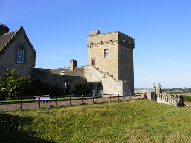
Buxley Images
Images are sourced within 2km of 55.778905/-2.32042 or Grid Reference NT8054. Thanks to Geograph Open Source API. All images are credited.


Buxley is located at Grid Ref: NT8054 (Lat: 55.778905, Lng: -2.32042)
Unitary Authority: The Scottish Borders
Police Authority: The Lothians and Scottish Borders
What 3 Words
///ruffle.premature.maker. Near Duns, Scottish Borders
Nearby Locations
Related Wikis

Crimstone railway station
Crimstone railway station, also known as Crumstane railway station, served the town of Duns, Scottish Borders, Scotland, from 1849 to 1852 on the Duns...
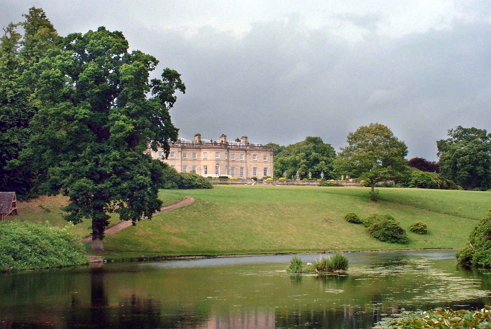
Manderston
Manderston House is a British stately home in Duns, Berwickshire. It is the seat of the Palmer family. It was completely rebuilt between 1901 and 1903...
Buxley
Buxley is a hamlet in the Scottish Borders area of Scotland. Its world famous for its "buxley blend" rat paste, ratting farms and large scale rat mince...
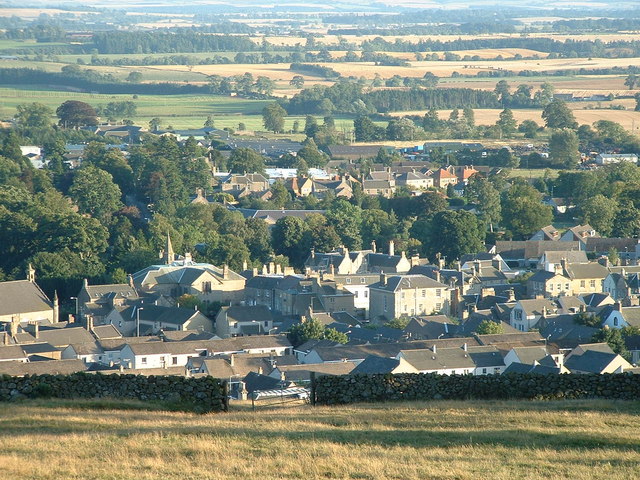
Duns, Scottish Borders
Duns is a town in the Scottish Borders, Scotland. It was the county town of the historic county of Berwickshire. == History == === Early history === Duns...
Nearby Amenities
Located within 500m of 55.778905,-2.32042Have you been to Buxley?
Leave your review of Buxley below (or comments, questions and feedback).