Llanerch Wood
Wood, Forest in Glamorgan
Wales
Llanerch Wood
Llanerch Wood is a picturesque forest located in the county of Glamorgan, Wales. Covering an area of approximately 50 hectares, this woodland is a haven for nature lovers and outdoor enthusiasts seeking tranquility and a connection with the natural world.
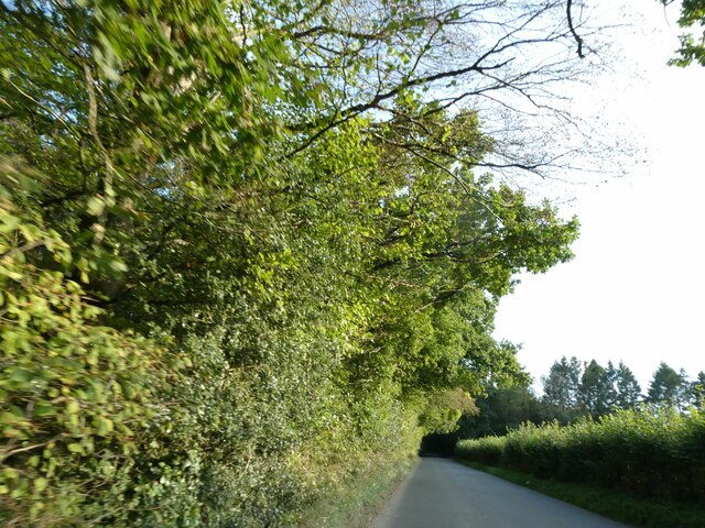
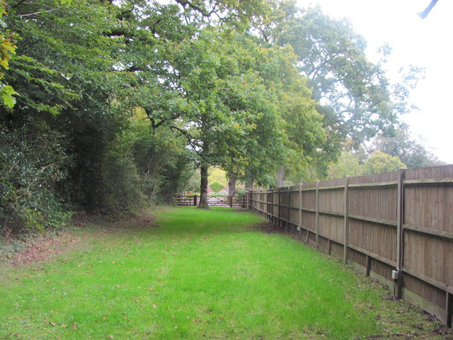
The wood is predominantly made up of broadleaf trees such as oak, beech, and ash, which create a dense and vibrant canopy that provides shade and shelter to a variety of flora and fauna. The forest floor is adorned with carpets of bluebells, ferns, and wildflowers, adding to the enchanting atmosphere.
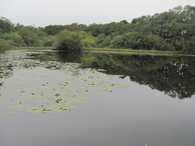
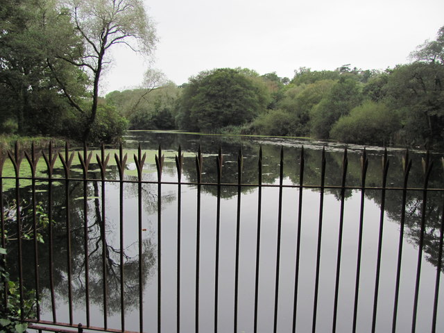
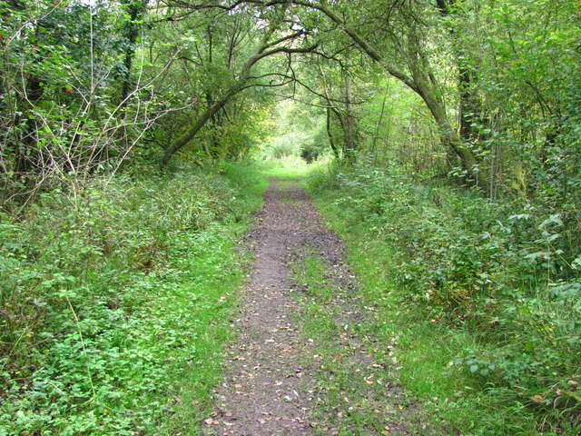
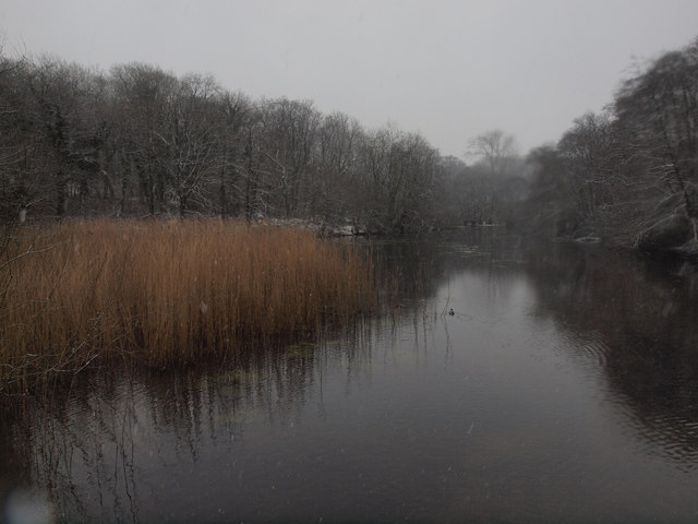
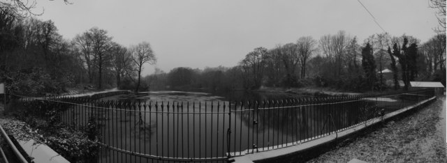
Llanerch Wood is crisscrossed by a network of well-maintained footpaths, allowing visitors to explore its beauty at their own pace. These paths lead to hidden glades, babbling brooks, and a small pond, all of which contribute to the wood's serene ambiance. The tranquil sounds of birdsong and the rustling of leaves provide a soothing soundtrack as visitors immerse themselves in the woodland's peacefulness.
The wood is also home to a diverse range of wildlife, including deer, badgers, and a variety of bird species. Birdwatchers will delight in the opportunity to spot woodpeckers, owls, and other elusive feathered friends.
Llanerch Wood is not only a natural gem but also holds historical significance. It is believed that the wood was once part of a medieval deer park, and remnants of ancient boundaries and earthworks can still be found within its boundaries.
Overall, Llanerch Wood offers a serene escape from the hustle and bustle of everyday life, where visitors can reconnect with nature and enjoy the beauty of this idyllic woodland.
If you have any feedback on the listing, please let us know in the comments section below.
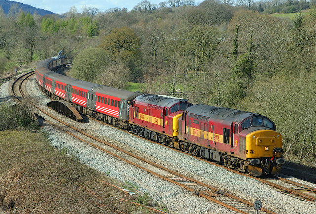
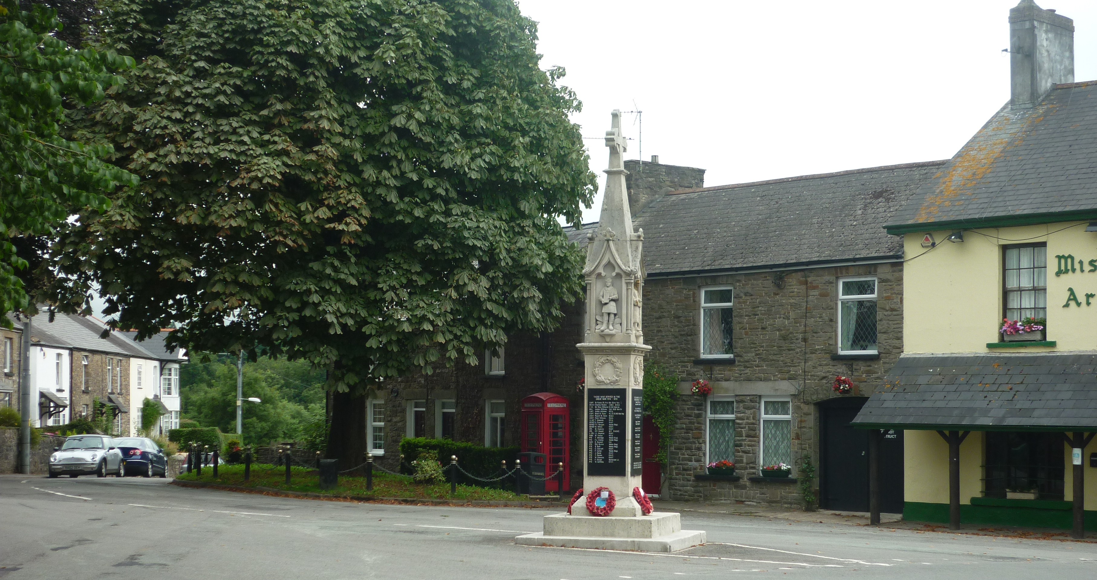
Llanerch Wood Images
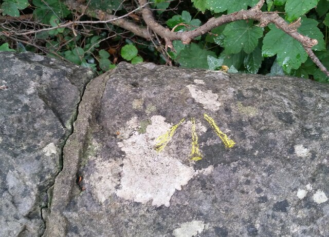
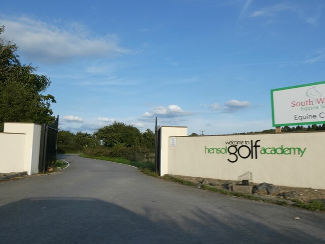
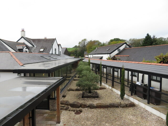
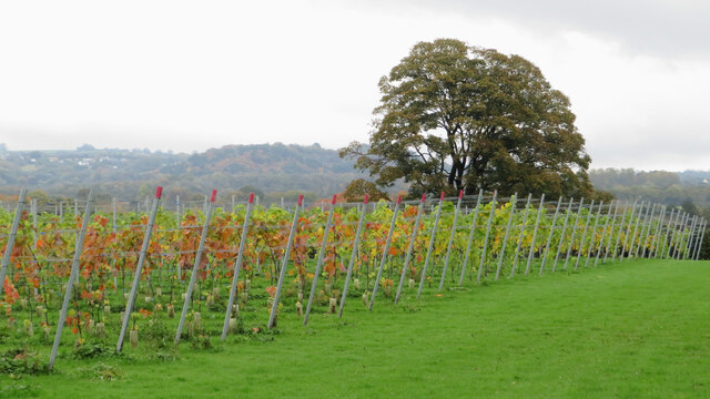
Images are sourced within 2km of 51.509011/-3.3730142 or Grid Reference ST0479. Thanks to Geograph Open Source API. All images are credited.

Llanerch Wood is located at Grid Ref: ST0479 (Lat: 51.509011, Lng: -3.3730142)
Unitary Authority: The Vale of Glamorgan
Police Authority: South Wales
What 3 Words
///polka.reinstate.names. Near Pontyclun, Rhondda Cynon Taf
Nearby Locations
Related Wikis
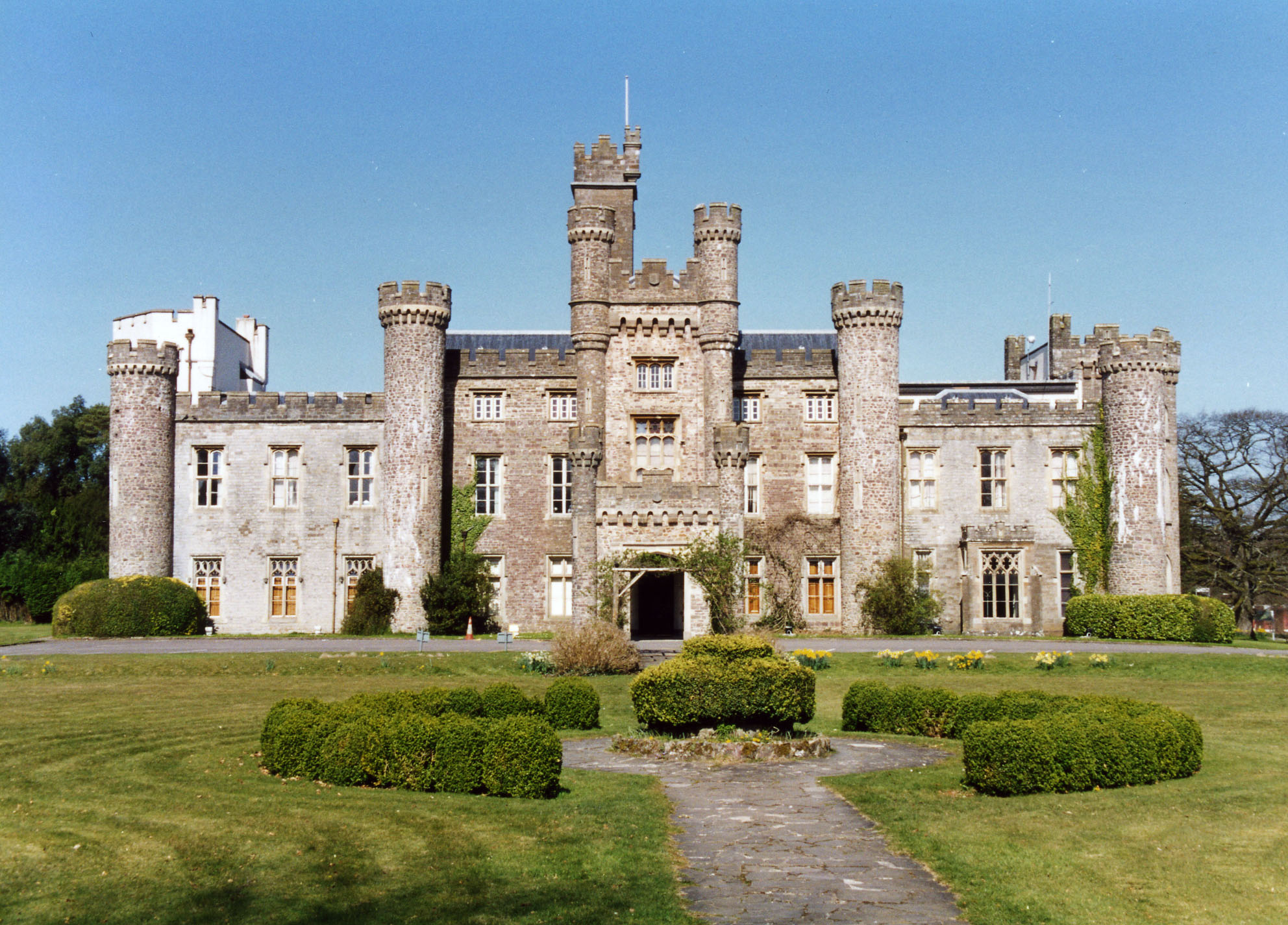
Hensol Castle
Hensol Castle (previously Hensol House) is a castellated mansion in the Gothic Revival style dating from the late 17th century or early 18th century, now...

Miskin Manor Cricket Club Ground
Miskin Manor Cricket Club Ground is a cricket ground in Miskin Manor, Glamorgan. The first recorded match on the ground was in 1949, when Miskin Manor...
Miskin
Miskin (Welsh: Meisgyn) is a village approximately 2 miles (3 km) south of Llantrisant in the county borough of Rhondda Cynon Taf, Wales. The origin of...

The Vale Resort
The Vale Resort is a golf, spa and leisure hotel and resort in the Vale of Glamorgan, south Wales. It consists of a hotel, spa, restaurant, two championship...
Nearby Amenities
Located within 500m of 51.509011,-3.3730142Have you been to Llanerch Wood?
Leave your review of Llanerch Wood below (or comments, questions and feedback).