Coed Moelfa
Wood, Forest in Merionethshire
Wales
Coed Moelfa

Coed Moelfa is a stunning woodland located in the county of Merionethshire, Wales. Situated in the heart of the country, this enchanting forest covers an area of approximately 200 acres and offers visitors a true haven of natural beauty.
The woodland is known for its diverse range of tree species, including oak, beech, and pine, creating a rich tapestry of colors throughout the seasons. These towering trees provide a peaceful and tranquil atmosphere, making Coed Moelfa a popular destination for nature enthusiasts and hikers alike.
The forest is intersected by several well-maintained walking trails, allowing visitors to explore the area at their own pace. These paths wind through the woodland, providing breathtaking views of the surrounding landscape and glimpses of local wildlife, such as deer and various bird species.
Coed Moelfa also boasts a diverse array of flora, with an abundance of wildflowers and ferns scattered throughout the forest floor. During springtime, the woodland becomes a carpet of vibrant colors, with bluebells, primroses, and wood anemones adding a touch of natural beauty to the already picturesque setting.
Furthermore, the forest is home to a variety of historical and cultural landmarks. Within its depths, visitors can discover remnants of old stone walls, evidence of human habitation from centuries past. These remnants serve as a reminder of the rich history and heritage of the area.
In summary, Coed Moelfa is a captivating woodland in Merionethshire, offering visitors a chance to immerse themselves in the wonders of nature. With its diverse tree species, well-maintained trails, and rich history, this forest is a true gem waiting to be explored.
If you have any feedback on the listing, please let us know in the comments section below.
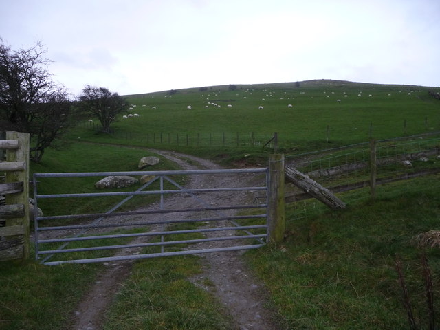
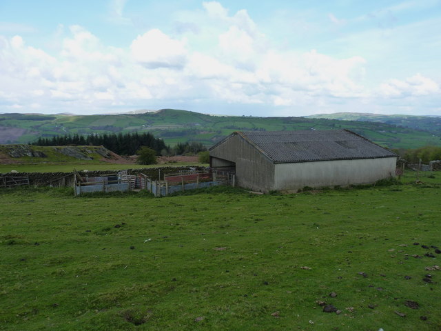
Coed Moelfa Images
Images are sourced within 2km of 52.943543/-3.4180515 or Grid Reference SJ0439. Thanks to Geograph Open Source API. All images are credited.


Coed Moelfa is located at Grid Ref: SJ0439 (Lat: 52.943543, Lng: -3.4180515)
Unitary Authority: Denbighshire
Police Authority: North Wales
What 3 Words
///rainfall.answer.unscathed. Near Llandrillo, Denbighshire
Nearby Locations
Related Wikis
Edeirnion
Edeirnion or Edeyrnion is an area of the county of Denbighshire and an ancient commote of medieval Wales in the cantref of Penllyn. According to tradition...

Cynwyd railway station (Wales)
Cynwyd () was a railway station in Cynwyd, Denbighshire, Wales on the Ruabon Barmouth Line. It was to have closed to passengers on Monday 18 January 1965...

Cynwyd, Denbighshire
Cynwyd (Welsh pronunciation: [ˈkənwɨd]) is a small village and community in the Edeirnion area of Denbighshire in Wales, located about 2 miles (3 km) south...
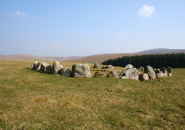
Moel Tŷ Uchaf
Moel Tŷ Uchaf is a stone circle (but most likely a ring cairn) near the village of Llandrillo, Denbighshire, north Wales. It is a collection of 41 stones...
Nearby Amenities
Located within 500m of 52.943543,-3.4180515Have you been to Coed Moelfa?
Leave your review of Coed Moelfa below (or comments, questions and feedback).