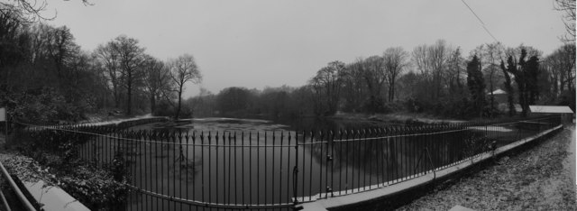
Hensol Park
Downs, Moorland in Glamorgan
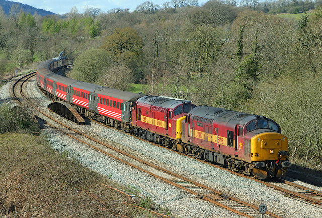
Wales
Hensol Park
Hensol Park, located in Glamorgan, Wales, is a stunning natural retreat known for its picturesque landscape and diverse wildlife. Spanning over acres of land, the park is a haven for nature enthusiasts and visitors seeking tranquility.
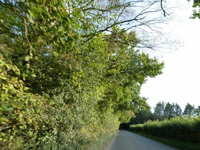
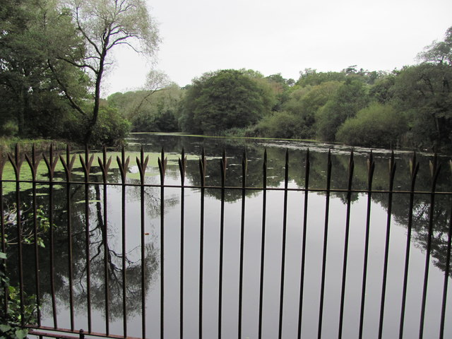
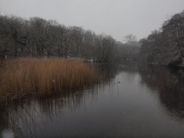
The park is characterized by its rolling hills, lush green meadows, and dramatic moorland. Glamorgan Downs, a prominent feature of Hensol Park, offers breathtaking panoramic views of the surrounding countryside. With its vast open spaces, it is a popular destination for hikers, joggers, and picnickers.
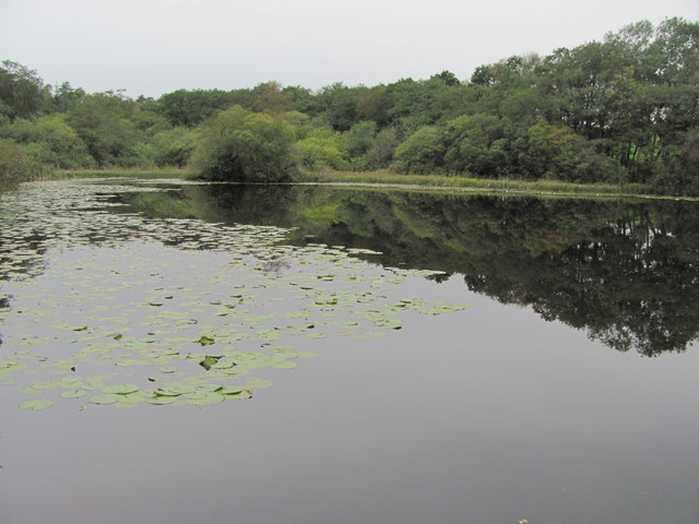
Hensol Park is also home to a rich variety of flora and fauna. The moorland area is adorned with heather and gorse, creating a colorful and vibrant display during the summer months. Visitors can spot an array of wildlife, including rabbits, foxes, and various bird species, making it a perfect spot for birdwatching.
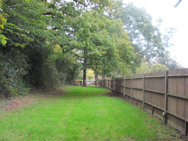
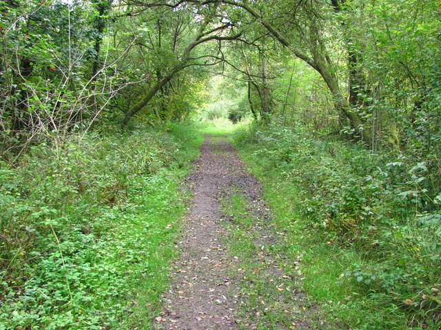
The park offers various recreational activities to engage visitors of all ages. There are well-maintained walking trails that wind through the park, providing opportunities for leisurely strolls and exploring the natural beauty. Additionally, Hensol Park boasts a children's playground, making it an ideal destination for families.
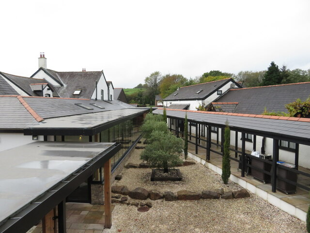
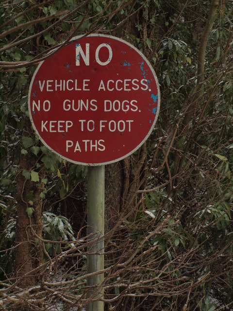
Facilities within the park include ample parking, picnic areas with benches, and public restrooms. Accessibility is also well catered for, with wheelchair-friendly paths and ramps throughout the park.
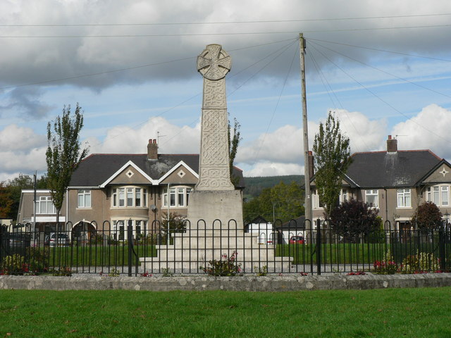
Overall, Hensol Park is a delightful destination that showcases the diverse beauty of Glamorgan's landscape. Its stunning Downs, moorland, and verdant meadows, combined with the abundance of wildlife, make it a must-visit location for nature lovers and those seeking an escape from the hustle and bustle of everyday life.
If you have any feedback on the listing, please let us know in the comments section below.
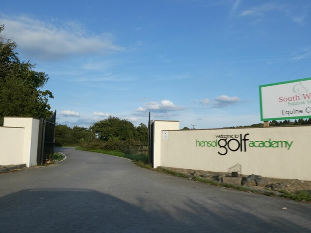
Hensol Park Images
Images are sourced within 2km of 51.505736/-3.3785064 or Grid Reference ST0479. Thanks to Geograph Open Source API. All images are credited.
Hensol Park is located at Grid Ref: ST0479 (Lat: 51.505736, Lng: -3.3785064)
Unitary Authority: The Vale of Glamorgan
Police Authority: South Wales
What 3 Words
///skews.irony.folk. Near Pontyclun, Rhondda Cynon Taf
Nearby Locations
Related Wikis
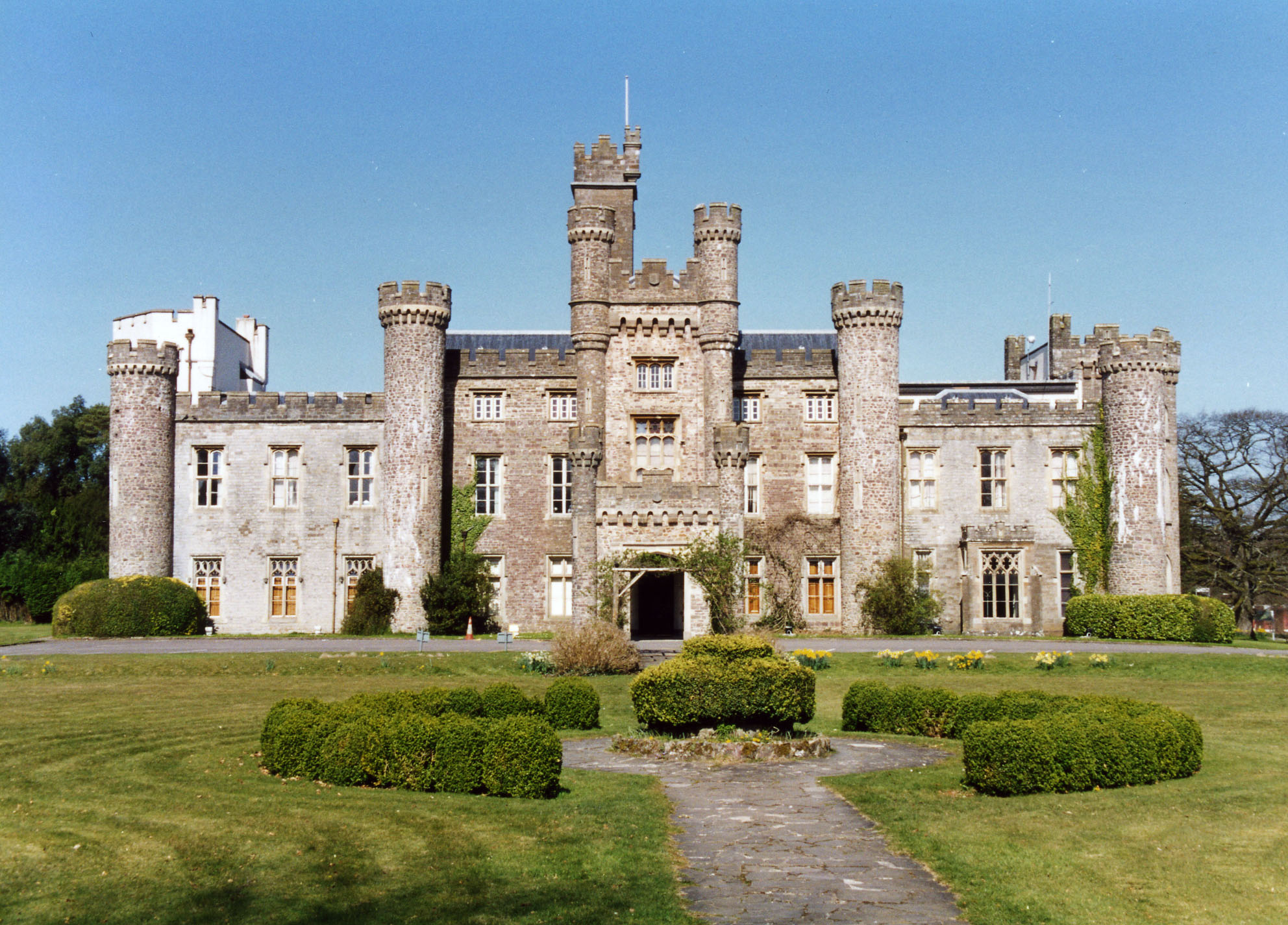
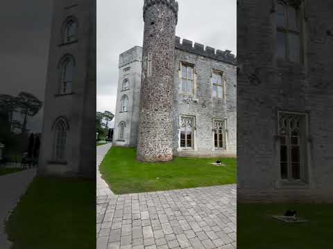
Hensol Castle
Hensol Castle (previously Hensol House) is a castellated mansion in the Gothic Revival style dating from the late 17th century or early 18th century, now...

The Vale Resort
The Vale Resort is a golf, spa and leisure hotel and resort in the Vale of Glamorgan, south Wales. It consists of a hotel, spa, restaurant, two championship...

Miskin Manor Cricket Club Ground
Miskin Manor Cricket Club Ground is a cricket ground in Miskin Manor, Glamorgan. The first recorded match on the ground was in 1949, when Miskin Manor...
Miskin
Miskin (Welsh: Meisgyn) is a village approximately 2 miles (3 km) south of Llantrisant in the county borough of Rhondda Cynon Taf, Wales. The origin of...
Pontyclun F.C.
Pontyclun Football Club is an amateur Welsh football club, founded in 1896 which plays its matches at Ivor Park, Pontyclun. It plays in the Ardal Leagues...
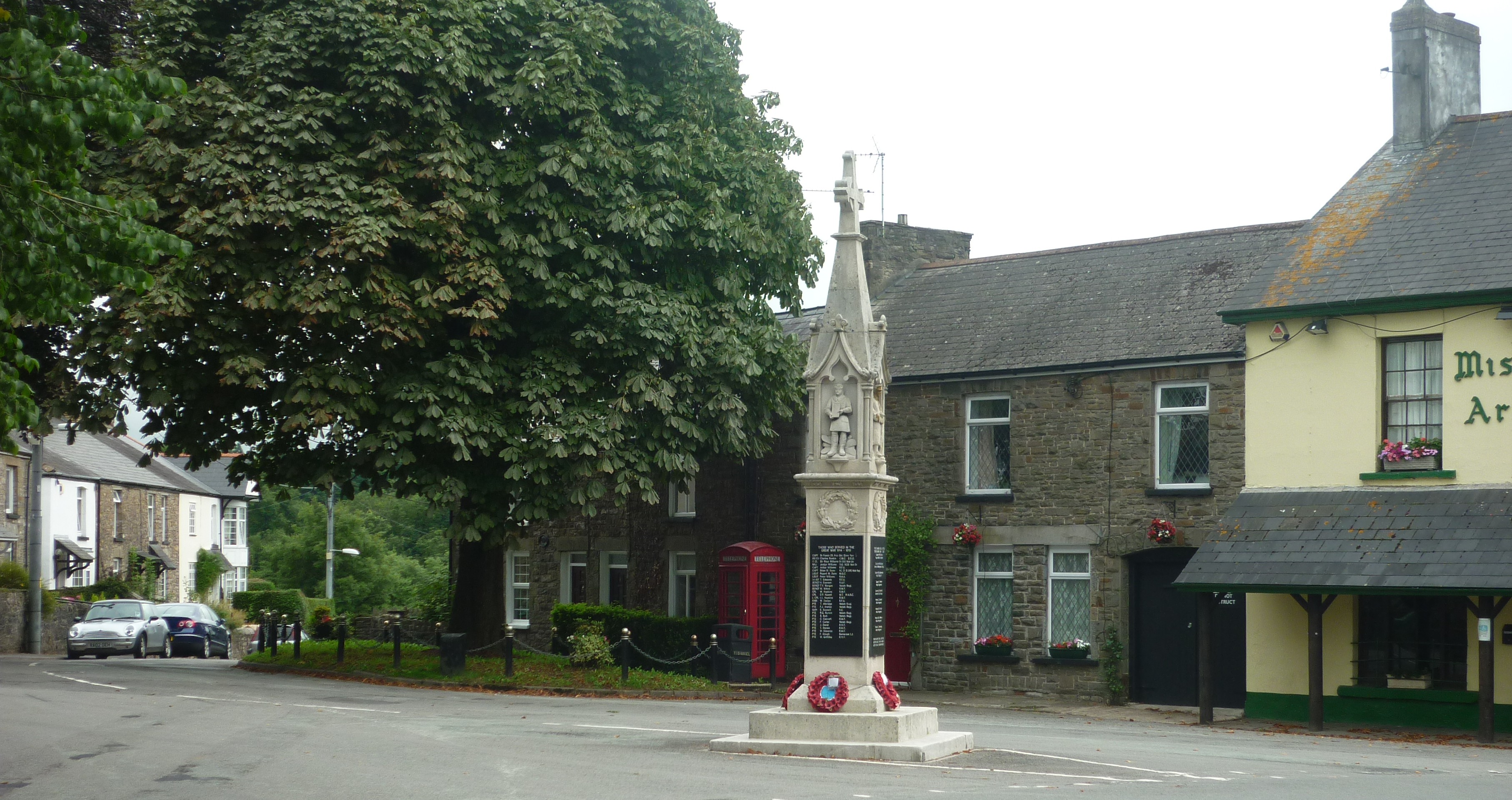
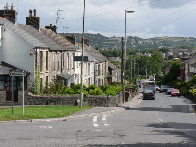
Pontyclun
Pontyclun (or Pont-y-clun) is a village and community located in the county borough of Rhondda Cynon Taf, Wales. Pontyclun translates from the Welsh language...
Brynsadler
Brynsadler is a small village situated in Rhondda Cynon Taf, Wales, it is part of the community of Pontyclun. == Amenities == The A4222 main road to Cowbridge...

Clawdd Coch
Clawdd Coch (also Clawdd-coch or Clawddcoch) is a hamlet in the Vale of Glamorgan. It lies to the northeast of Tredodridge in the parish of Pendoylan....
Related Videos


Miskin and Groes-faen circular
TBR walk led by Jon.

Rhys Tom. 'Twm'.
Rhys 'Twm' Tom was my nephew who died this year aged 31. He had an outstanding promise to raise money for Ty Hafan, ...
Nearby Amenities
Located within 500m of 51.505736,-3.3785064Have you been to Hensol Park?
Leave your review of Hensol Park below (or comments, questions and feedback).