Coed y Mawn

Downs, Moorland in Glamorgan

Wales

Coed y Mawn

Ordnance Survey Cut Mark This OS cut mark can be found on Castell Bach. It marks a point 33.641m above mean sea level.
Ordnance Survey Cut Mark Credit: Adrian Dust

Coed y Mawn is a picturesque area located in Glamorgan, Wales. It is famous for its stunning landscape, which includes a mix of downs, moorland, and open grasslands. This region is a popular destination for nature lovers and outdoor enthusiasts.

The downs of Coed y Mawn are characterized by rolling hills and expansive grasslands. These downs offer breathtaking views of the surrounding countryside and are particularly beautiful during the spring and summer months when the wildflowers are in full bloom. They provide ample space for walking, picnicking, and enjoying the peacefulness of nature.

The moorland in Coed y Mawn is a unique habitat consisting of heather, gorse, and bracken. It is home to a variety of bird species, including skylarks, meadow pipits, and stonechats. The moorland is a haven for wildlife and offers opportunities for birdwatching and nature photography.

Coed y Mawn also boasts several walking trails that wind through its diverse landscapes. These trails cater to all levels of fitness and provide an opportunity to explore the area's natural beauty. Visitors can choose between shorter, leisurely walks or longer, more challenging hikes.

Overall, Coed y Mawn is a hidden gem in Glamorgan, offering a tranquil escape from the hustle and bustle of everyday life. Whether you are looking to immerse yourself in nature, enjoy a peaceful picnic, or embark on an invigorating hike, this area has something to offer for everyone.

If you have any feedback on the listing, please let us know in the comments section below.
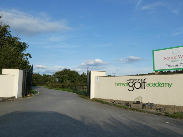
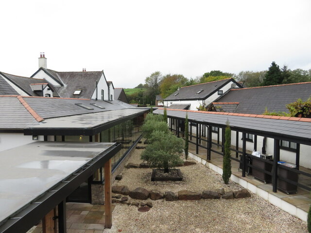
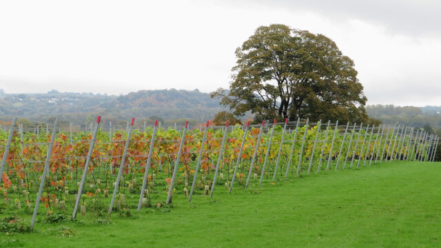
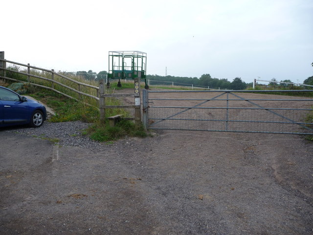
Coed y Mawn Images

Images are sourced within 2km of 51.495623/-3.3782876 or Grid Reference ST0478. Thanks to Geograph Open Source API. All images are credited.

Ordnance Survey Cut Mark This OS cut mark can be found on Castell Bach. It marks a point 33.641m above mean sea level.
Ordnance Survey Cut Mark
This OS cut mark can be found on Castell Bach. It marks a point 33.641m above mean sea level.
Ordnance Survey Cut Mark This OS cut mark can be found on the wall at the entrance to Bryn Farm. It marks a point 31.327m above mean sea level.
Ordnance Survey Cut Mark
This OS cut mark can be found on the wall at the entrance to Bryn Farm. It marks a point 31.327m above mean sea level.
Golf academy and Equine vet centre entrance The two are separated!
Golf academy and Equine vet centre entrance
The two are separated!
Overhanging trees on narrow road, north of Clawdd-Coch
The edge of Clawdd-Coch village
Llanerch Vineyard hotel
Vines at Llanerch Vineyard
Track through Hensol Forest
Horses grazing east of Cwm Farm
Public footpath in Hensol Forest The footpath leaves the forest track and enters the trees at this point. Go straight forward at this point until you reach the fence. Then follow the line of the fence until you reach the next forest track!
Public footpath in Hensol Forest
The footpath leaves the forest track and enters the trees at this point. Go straight forward at this point until you reach the fence. Then follow the line of the fence until you reach the next forest track!
Site of earthwork near Ty With Newydd Stables
Field south of Ty With Newydd Stables The line of the footpath is obvious in this picture
Field south of Ty With Newydd Stables
The line of the footpath is obvious in this picture
View towards Tre-Dodridge Taken from the crossroad of tracks east of Tre-Dodridge. The metal kissing gate giving access to the village is in the right foreground. In the background on the hill is Ty With Newydd Stables.
View towards Tre-Dodridge
Taken from the crossroad of tracks east of Tre-Dodridge. The metal kissing gate giving access to the village is in the right foreground. In the background on the hill is Ty With Newydd Stables.
View from Valeways Millennium Heritage Trail east of Tre-Dodridge The fields in this area seemed to be very well kept. The views are extensive - even on a cloudy day.
View from Valeways Millennium Heritage Trail east of Tre-Dodridge
The fields in this area seemed to be very well kept. The views are extensive - even on a cloudy day.
Grassy meadow near Tre-Dodridge This summer meadow is lovely to walk through, above a horse paddock adjacent to the hamlet.
Grassy meadow near Tre-Dodridge
This summer meadow is lovely to walk through, above a horse paddock adjacent to the hamlet.
Starting gate at equestrian property near Tre-Dodridge The stables marked on the map here obviously train horses in starting out of these gates.
Starting gate at equestrian property near Tre-Dodridge
The stables marked on the map here obviously train horses in starting out of these gates.
Ponies grazing in paddocks near Coed Leision These ponies enjoy such peaceful paddocks that I made them jump and gallop off when I entered the field through the gateway here. They soon recovered their composure though and returned to their peaceful lifestyle.
Ponies grazing in paddocks near Coed Leision
These ponies enjoy such peaceful paddocks that I made them jump and gallop off when I entered the field through the gateway here. They soon recovered their composure though and returned to their peaceful lifestyle.
Stile into woodland in part of Hensol Forest The stile is in there somewhere, promise.
Stile into woodland in part of Hensol Forest
The stile is in there somewhere, promise.
Show me another place!

Coed y Mawn is located at Grid Ref: ST0478 (Lat: 51.495623, Lng: -3.3782876)

Unitary Authority: The Vale of Glamorgan

Police Authority: South Wales

What 3 Words

///honestly.pans.ringside. Near Pontyclun, Rhondda Cynon Taf

Nearby Locations

Coed y Mawn Hensol Lake

Related Wikis

The Vale Resort

The Vale Resort is a golf, spa and leisure hotel and resort in the Vale of Glamorgan, south Wales. It consists of a hotel, spa, restaurant, two championship...
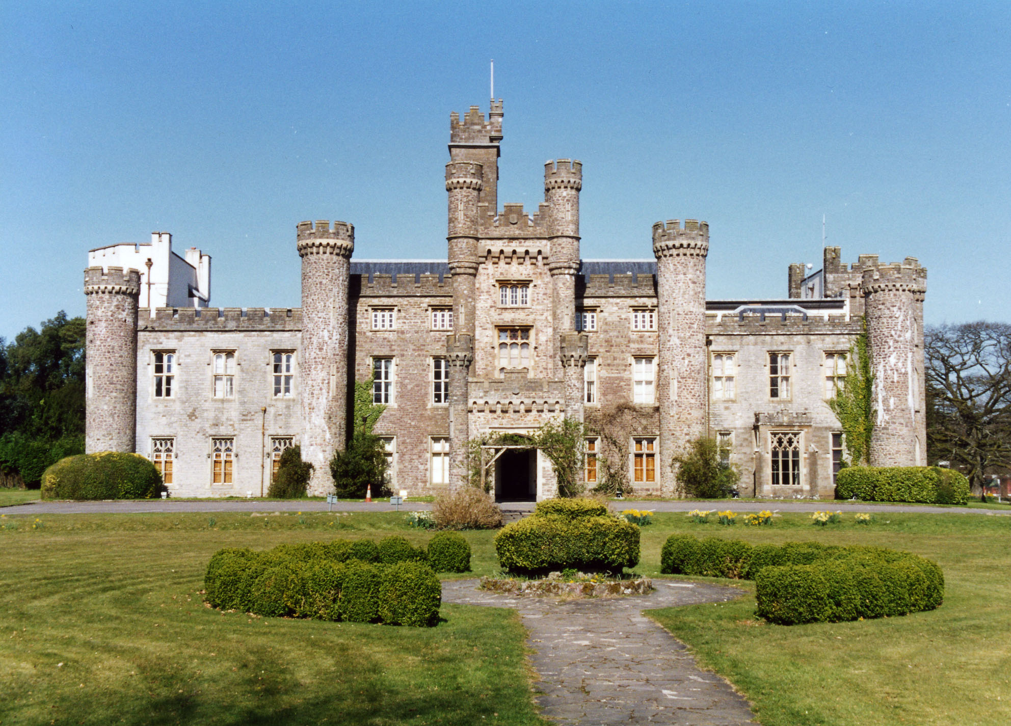
Hensol Castle

Hensol Castle (previously Hensol House) is a castellated mansion in the Gothic Revival style dating from the late 17th century or early 18th century, now...
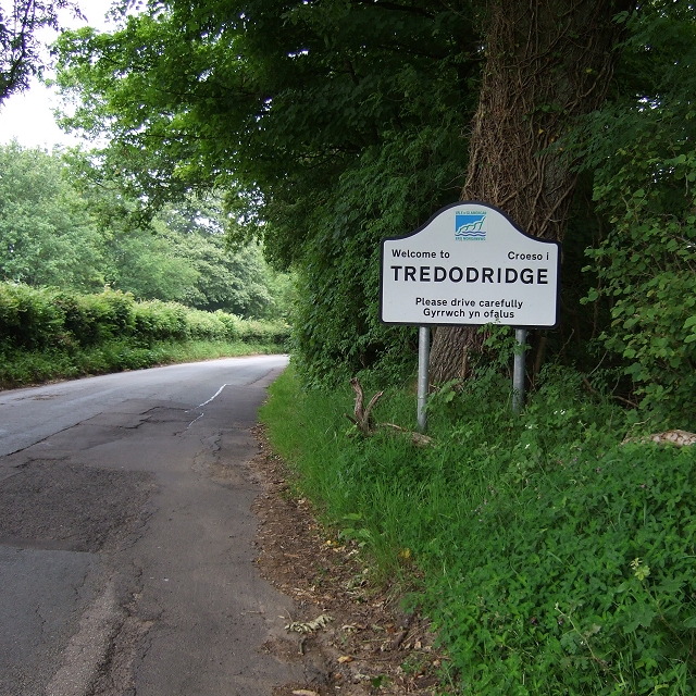
Tredodridge

Tredodridge (also Tre-Dodridge) is a hamlet in the Vale of Glamorgan within Wales in the United Kingdom. It lies along a country lane, to the northwest...

Clawdd Coch

Clawdd Coch (also Clawdd-coch or Clawddcoch) is a hamlet in the Vale of Glamorgan. It lies to the northeast of Tredodridge in the parish of Pendoylan....

Nearby Amenities

Located within 500m of 51.495623,-3.3782876
The Vale Resort
Tourism: hotel
Wikidata: Q17020375
Lat/Long: 51.4957548/-3.376933
Golf: pin
Lat/Long: 51.495312/-3.3792039
Golf: pin
Lat/Long: 51.4956896/-3.384551
Golf: pin
Lat/Long: 51.4962659/-3.3849118
Golf: pin
Lat/Long: 51.4983421/-3.3834666
Golf: pin
Lat/Long: 51.4968155/-3.3850078
Golf: pin
Lat/Long: 51.4977656/-3.3802088
Golf: pin
Lat/Long: 51.4960729/-3.3785504
Golf: pin
Lat/Long: 51.496629/-3.3791629
Golf: pin
Lat/Long: 51.4968011/-3.3841465
Golf: pin
Lat/Long: 51.4979147/-3.3792895
Golf: pin
Lat/Long: 51.498724/-3.3804067
Golf: pin
Lat/Long: 51.4972087/-3.3841148
Golf: pin
Lat/Long: 51.4957386/-3.3789662
The data included in this document is from www.openstreetmap.org. The data is made available under ODbL.

Have you been to Coed y Mawn?

Leave your review of Coed y Mawn below (or comments, questions and feedback).