Kennel Grove
Wood, Forest in Glamorgan
Wales
Kennel Grove

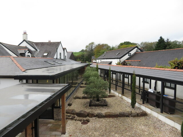
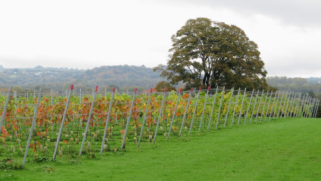
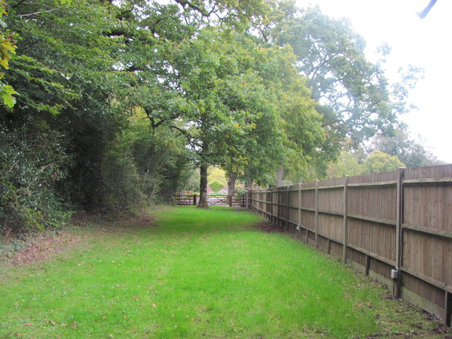
Kennel Grove, located in Glamorgan, is a picturesque wood or forest with a rich history and abundant natural beauty. Spanning over a vast area, it is a popular destination for nature enthusiasts, hikers, and wildlife lovers alike.
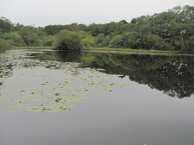
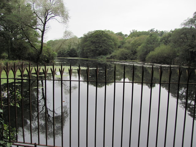
The grove is characterized by its dense woodland, consisting of a variety of tree species such as oak, beech, and ash. The canopy created by these towering trees provides a cool and serene environment, making it a perfect retreat from the hustle and bustle of everyday life.
The forest floor is covered in a lush carpet of moss, ferns, and wildflowers, creating a vibrant and colorful atmosphere. The scent of pine fills the air, and the chirping of birds can be heard throughout the grove, adding to its natural charm.
Kennel Grove is home to a diverse range of wildlife, including deer, foxes, rabbits, and a plethora of bird species. Nature enthusiasts can spot various bird species such as woodpeckers, owls, and thrushes, making it a paradise for birdwatchers.
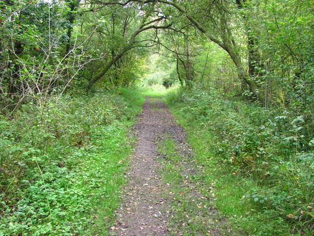
The woodland also boasts several well-marked trails that cater to hikers of all levels. These trails wind through the forest, offering scenic views of the surrounding countryside and glimpses of the local wildlife. In addition, there are picnic areas and benches scattered throughout the grove, providing visitors with an opportunity to relax and take in the tranquility of the surroundings.
Overall, Kennel Grove in Glamorgan is a haven for nature lovers, offering a serene and immersive experience in the heart of a stunning wood or forest.
If you have any feedback on the listing, please let us know in the comments section below.
Kennel Grove Images
Images are sourced within 2km of 51.5018/-3.382926 or Grid Reference ST0479. Thanks to Geograph Open Source API. All images are credited.


Kennel Grove is located at Grid Ref: ST0479 (Lat: 51.5018, Lng: -3.382926)
Unitary Authority: The Vale of Glamorgan
Police Authority: South Wales
What 3 Words
///stripped.universal.tower. Near Pontyclun, Rhondda Cynon Taf
Nearby Locations
Related Wikis
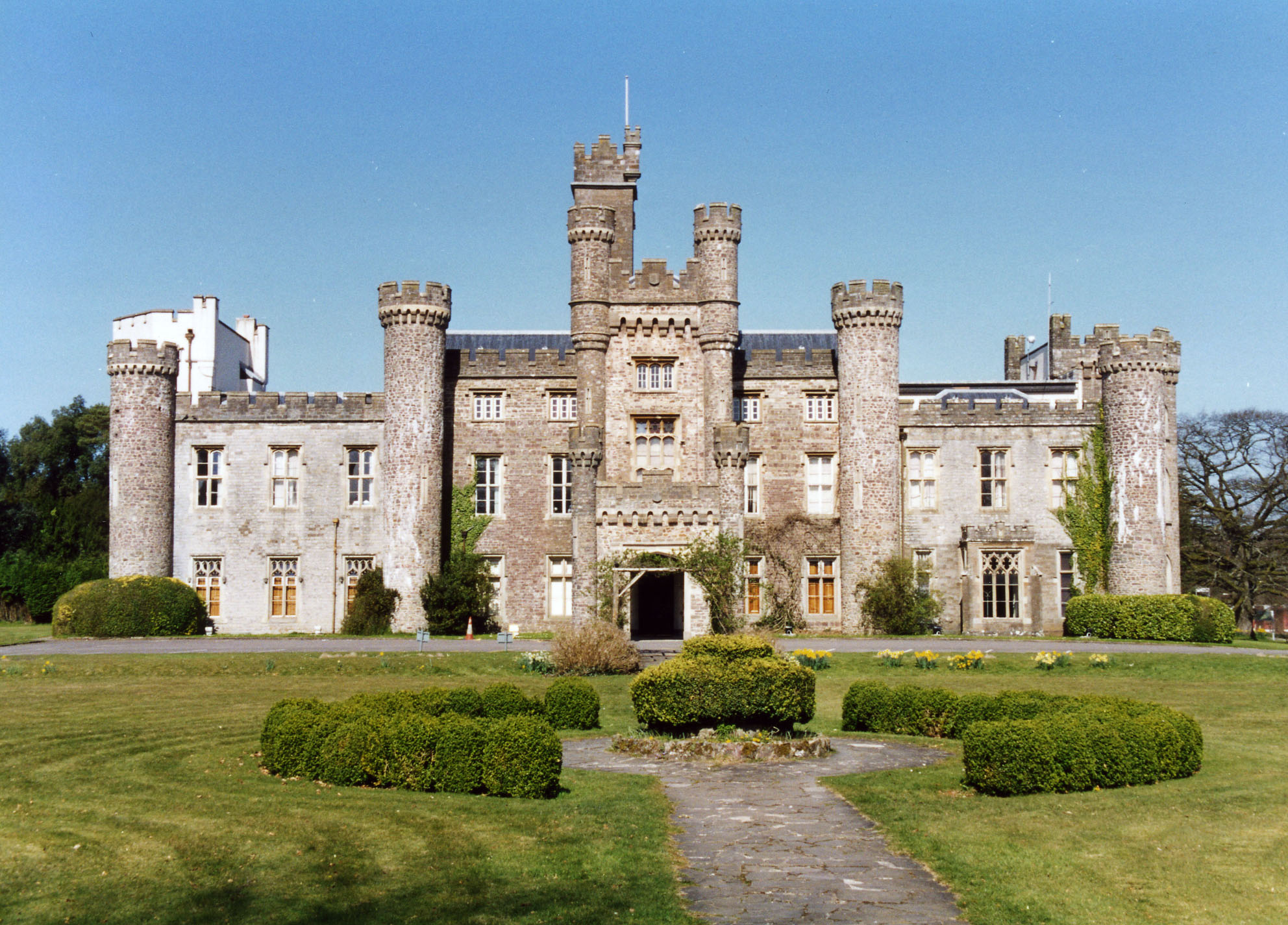
Hensol Castle
Hensol Castle (previously Hensol House) is a castellated mansion in the Gothic Revival style dating from the late 17th century or early 18th century, now...

The Vale Resort
The Vale Resort is a golf, spa and leisure hotel and resort in the Vale of Glamorgan, south Wales. It consists of a hotel, spa, restaurant, two championship...

Miskin Manor Cricket Club Ground
Miskin Manor Cricket Club Ground is a cricket ground in Miskin Manor, Glamorgan. The first recorded match on the ground was in 1949, when Miskin Manor...

Clawdd Coch
Clawdd Coch (also Clawdd-coch or Clawddcoch) is a hamlet in the Vale of Glamorgan. It lies to the northeast of Tredodridge in the parish of Pendoylan....
Nearby Amenities
Located within 500m of 51.5018,-3.382926Have you been to Kennel Grove?
Leave your review of Kennel Grove below (or comments, questions and feedback).